Staten Island North Shore Railroad
The North Shore rail line originally opened in 1886 as the Staten Island Rapid Transit Railroad (SIRT) and carried both freight and passengers. The line provided service to a rail yard and ferry terminal at St. George as well as connection to a line that had been in operation on the south shore of the island since 1860. While the North Shore line was very active during the first half of the 20th century, slowly declining usage after the second World War lead to termination of passenger service in 1953. Freight service continued at declining levels until the line was abandoned in 1990. The right-of-way (ROW) was purchased from the CSX railroad by the city in 1994.
The far western end of the line into New Jersey was restored by the Port Authority of New York and New Jersey in 2007 to provide service to a new container terminal in Howland Hook. In 2003, the borough president commissioned a feasibility study to investigate options for reactivating the remainder of the line for passenger service.
Mobility has been a problem on Staten Island since the 19th century. Staten Island is large and sparsely populated with vital economic connections to New Jersey and the rest of New York City across bodies of water that impede smooth traffic flow and timely access. The island is too densely settled to permit free movement, but not dense enough to make public transportation convenient or financially self-sufficient. Over half the island's workers commute off the island for work (USCB 2008), necessitating long-distance travel through old urban development where transportation is inherently expensive and slow.

A proposed reactivation of the 5.1-mile North Shore rail line would certainly represent considerable commuting time savings to some current residents of the North Shore and could spur significant residential redevelopment in parts of the area. Existing local and limited-stop bus service requires 30--40 minutes to cover that distance, various rail options could reduce that time to around 13 minutes, a potential 50\% to 68\% time savings for as many as 12,000 daily riders.
However, the geographic time-space constraints on mobility that have bedeviled the island in the past would seem to indicate that the island will always be just a little too far away from the city center to ever be an integral part of its life in the way that Brooklyn, Queens and Jersey City are. While the NSRR would regularly clip a good 30 minutes off the commute time from Mariner's Harbor or Arlington to Manhattan, physical and economic constraints on current transportation technology make it impossible to reduce commute times to Manhattan times under an hour. In the absence of redevelopment that makes the North Shore a significantly more desirable place to live than it does now, the advantages of medium- or high-density living on Staten Island may likely not outweigh the temporal and qualitative drawbacks.
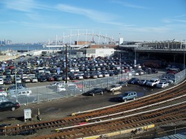
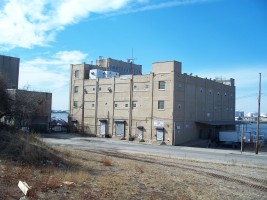
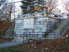
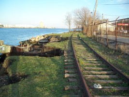
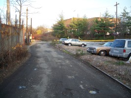
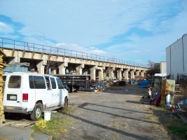
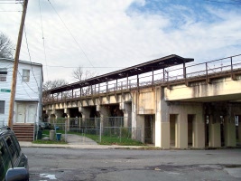
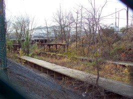
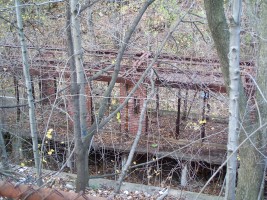
As part of a project for a transportation asset management class, I scouted and photographed the derelict ROW. The tour runs east to west from the St. George ferry terminal to Arlington Yard.


Next: New York and Putnam Railroad / Van Cortland Park Station