The Circumferential Subway Line
In 1996, the Regional Plan Association (formed in 1922) released it's third major plan, A Region at Risk. One of the significant proposals of the plan was for a Regional Express Rail Network (Rx), built largely by reusing abandoned or underused infrastructure. The proposed network would provide:
Airport access by connecting the Long Island Railroad to Grand Central Terminal, Lower Manhattan, Kennedy Airport, and LaGuardia Airport; direct access from New Jersey and Long Island to the East Side and Lower Manhattan; direct service from the Hudson Valley and Connecticut to the West Side and Lower Manhattan; through service from New Jersey to Connecticut and Long Island; and service between the boroughs in a new circumferential subway line.
The Circumferential Subway Line (also known as the Triboro Rx or, "The G train - only actually useful") was proposed to begin in Bay Ridge and loop around Brooklyn and Queens before crossing the Hell Gate Bridge and terminating in the Bronx near Yankee Stadium. The Brooklyn leg would run on the LIRR Bay Ridge freight line, the Queens leg would use the New York Connecting Railroad, and the Bronx leg would use a long-abandoned tunnel under St. Mary's Park. Along the way, it would connect with most of the city's subway lines, providing new access to underserved areas and new routing options for existing travellers.
Despite the economic boom that would ensue in the late 1990s, the Giuliani administration (and the city in general) preferred tax cuts to infrastructure investment and the idea received little additional attention or work.
Twelve years later, continued growth in the city, combined with the associated congestion on existing transit lines and the rising costs of automobile fuel lead MTA Executive Director Elliot Sander to revive the idea with a single sentence in his proposed 40-year expansion plan included in his March 3, 2008 State of the MTA address:
We need to take a close look at the Regional Plan Association's circumferential subway line, which would convert the lightly used Bay Ridge freight line into a subway service that would run in an arc from southern Brooklyn to Queens to the Bronx.
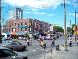
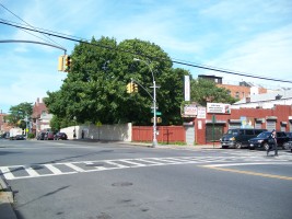
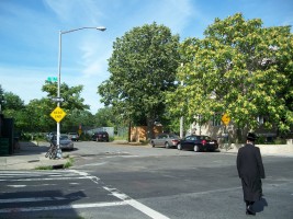
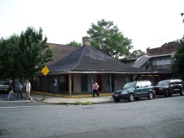
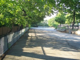
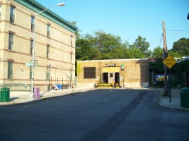
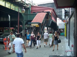
Subsequent press coverage in the Brooklyn Paper, Brooklyn Daily Eagle and in the blogosphere lead me to take a walk along the proposed route and around neighborhoods that would be served if the line ever opens. The journey gave me a nice look a some parts of New York City that don't often get much attention but are nonetheless a vital part of the city's fabric.
Brooklyn - The LIRR Bay Ridge Line
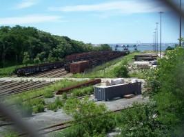
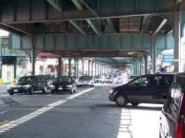
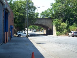
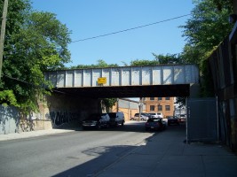
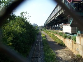
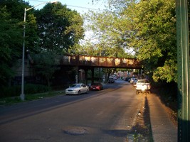
In Brooklyn, the Circumferential Subway Line is proposed to run along the Bay Ridge branch of the Long Island Railroad, a lightly-used freight line.
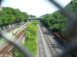
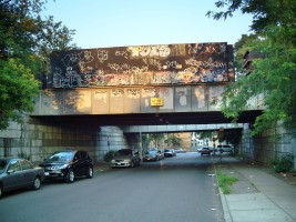
The Bay Ridge branch was built in 1876 as part of the NY & Manhattan Beach Railway system. Although initially conceived of as a freight line, the line was sold in 1876 to Austin Corbin, who wanted to use it for passenger service to his Manhattan Beach Hotel on Coney Island, which commenced in 1877. Corbin subsequently purchased the entire LIRR and was a virtual king of rail transit in Brooklyn until his death in 1896. Thereafter, the Brooklyn Rapid Transit (BRT) system began unifying the various Brooklyn rail lines and by 1899, an agreement between the LIRR and BRT ceded most of the purely Brooklyn lines to the BRT. From 1906 to 1915, most of the Bay Ridge Line was sunk into a trench to eliminate grade crossings. In 1918, the line was linked to the New York Connecting Railroad at the Fresh Pond Yard in Glendale, Queens, which provided access to the mainland over the Hell Gate Bridge (which had opened in 1916). Passenger service ended in 1924, leaving the line devoted entirely to freight. In 1997, the Long Island Railroad privatized it's freight operations by forming the New York and Atlantic Railway.
LIRRHistory.com has great pages (and photos) of the NY & Manhattan Beach Railway and the former stations on the Bay Ridge Branch.. Photos of the New York Connecting Railroad and the Bay Ridge Branch taken on a rail tour of the route can be seen on OldNYC.com
Queens - The New York Connecting Railroad
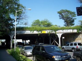
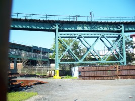
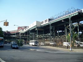
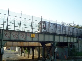
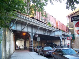
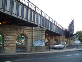
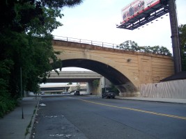
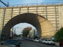
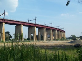
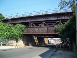
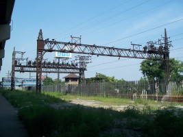
The Bay Ridge Line connects with the New York Connecting Railroad line in the Fresh Pond Yard in Glendale, Queens. The NYCRR travels northwest across Queens on elevated tracks, crosses the Hell Gate bridge and Wards/Randalls Islands and then terminates with a connection in Port Morris (the Bronx) to the former Harlem River and Port Chester Railroad to travel to points north.
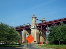
The centerpiece of the NYCRR is the Hell Gate bridge over the East River, a steel arch span designed by engineer Gustave Lindenthal (1850 -1935) and architect Henry Hornbostel (1867 -1961) that was the longest steel arch bridge in the world at the time it opened.
The New York Connecting Railroad was built to provide the direct rail connection between Long Island and the mainland United States. The line was dedicated on March 9, 1917 by Samuel Rea and Gustav Lindenthal. Freight service to Bay Ridge (via interconnection with the LIRR Bay Ridge Line) began on January 17, 1918 and work on the line was completed later that year.
While passenger trains have used the the NYCRR and Amtrak uses the northern portion for Northeast Corridor service to Boston, the line itself has never had intermediate passenger stations. Much of the line is at fairly high elevations and the addition of subway service would present a challenge both for building platforms on structures that were never intended to be used as stations and in routing traffic so that slower subway trains to not seriously disrupt intercity rail service.
The Bronx - The Port Morris Branch
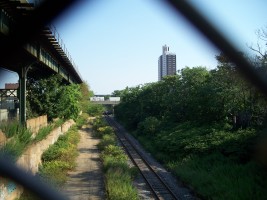
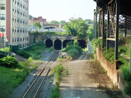
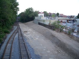
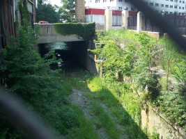
Once the line enters Port Morris in the Bronx over the Hell Gate Bridge, the proposal is for the line to proceed northwest through the Port Morris Branch, an abandoned freight interchange that winds its way through the south Bronx in a below-grade cut and series of tunnels from the Oak Point railyard (at the intersection of Bruckner Boulevard and East 142nd Street) to a rail yard beside the Metro-North Harlem line at the intersection of Melrose Avenue and East 163rd Street (just north of the Melrose Station).
The New York & Harlem Railroad company was initially incorporated in 1831 to connect New York City (at the time, lower Manhattan) with Harlem. By 1852 it had been extended northward over the Harlem River to Chatham, NY, where it connected with the Albany and West Stockbridge Railroad for service to Albany.
In the 1850s, Gouverneur Morris II (son of one of the framers of the constitution) laid out Port Morris as an industrial area on a 100-acre marshy headland on the banks of the East River. Morris, who was a Director of the New York and Harlem Railroad, had the two-mile Port Morris Branch run from the NY&H main line in Melrose down to his new development in 1852. The branch was later modified to remove grade crossings, resulting in the existing trench and the tunnel under St. Mary's Park. A NY Times from February 4, 1903 details legislation being prepared that would create a new Grand Central Station, in addition to dropping the Park Avenue line and the Port Morris Lines into tunnels. A 1921 Map of the railyard shows the Port Morris Branch running under a bridge on Whitlock Avenue (now the Bruckner Boulevard and Expressway).
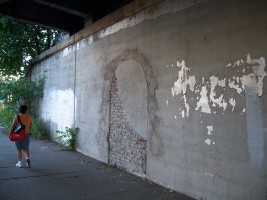
The line was supposedly electrified in 1912, although there is conjecture that it may have occurred as late as 1926. The one oddity is that ends of the branch (as well as the connection to the Harlem Line in Melrose) have curved wall terminators that have a vaguely Art Deco appearance, although these could date from some time after the grade elimination, or, perhaps, from an electrification in the 1920s.
The line was abandoned by the CSX around 1999. Some railroad.net reminiscences by guys who worked on that line say that it was always a problematic stretch of track. Aside from the fact that it was a very narrow line with poor drainage and tight clearances that was slow and difficult to negotiate, the high levels of crime in the neighborhood presented threats both to the cargo and to the men working on the line. When the Bronx was burning in the 1970s, this is where it was burning.
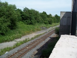
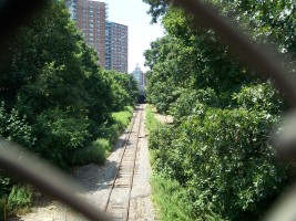
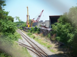
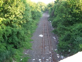
When I visited in the summer of 2008, the line was obviously in pretty rugged condition, with some sections seriously overgrown and many filled with garbage and sewage. This line would present a considerable challenge to recover and widening the line to make it safer for human transport might be unacceptably expensive given the amount of development around the track.
But it is a fascinating little vestigial artifact of the early 20th century peering up at passing pedestrians and subway patrons and it would warm the heart of rail fans everywhere to see it reclaimed.
