Port Morris, The Bronx
In the 1850s, Gouverneur Morris II (son of one of the framers of the constitution) laid out Port Morris as an industrial area on a 100-acre marshy headland on the banks of the East River. Morris, who was a Director of the New York and Harlem Railroad, had the two-mile Port Morris Branch run from the NY&H main line in Melrose down to his new development.
The neighborhood retains its gritty commercial feel, although there are quite a number of folks living there. It might be of value to place a station somewhere after the line crosses onto the mainland, although issues with cost and congestion on the very active line might make it better just have the first station after the Circumferential Line moves from the NYCRR Line to the (currently abandoned) Port Morris Branch.
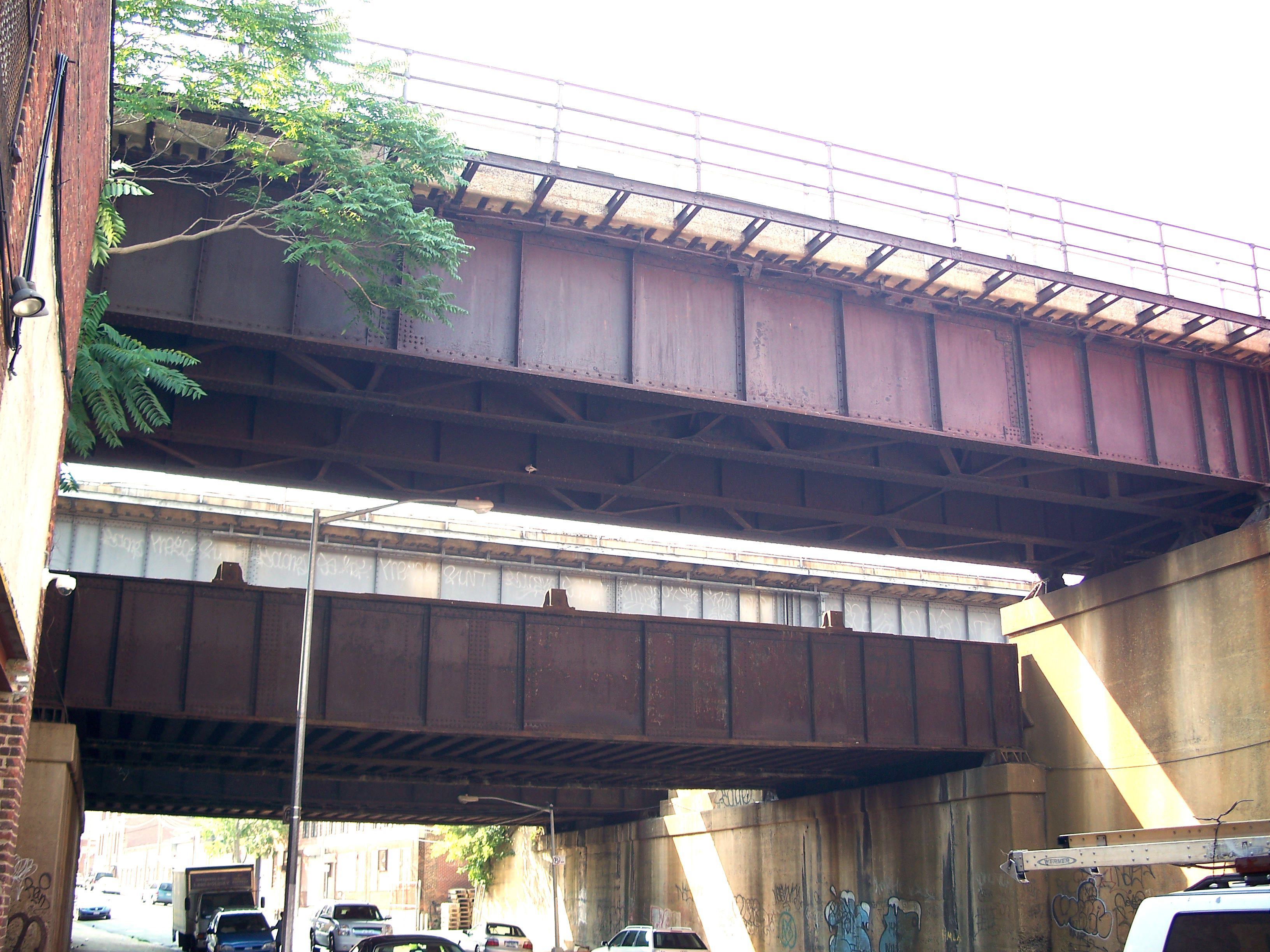
The railroad bridges through Port Morris carry six tracks on four separate bridge spans. The two upper spans are the approaches to Randall's Island that each carry a pair of tracks to the Hell Gate Bridge. Staggered below them are two "local" lines connecting the Harlem River Yard in the south with the Oak Point Yard to the north, the westernmost line of which appears to be unused.
There are a pair of lighterage docks on the waterfront at the end of East 135th Street. Presumably these brought cars in on barges that were destined for nearby businesses or warehouses and ran on tracks down the middle of streets. The street-level tracks are long paved over, although I did see a siding track peeking out of a driveway on Locust Avenue.
While Port Morris has a clearly industrial feel, there are quite a number of residential buildings nestled among the commercial buildings.

1907 Map of Port Morris
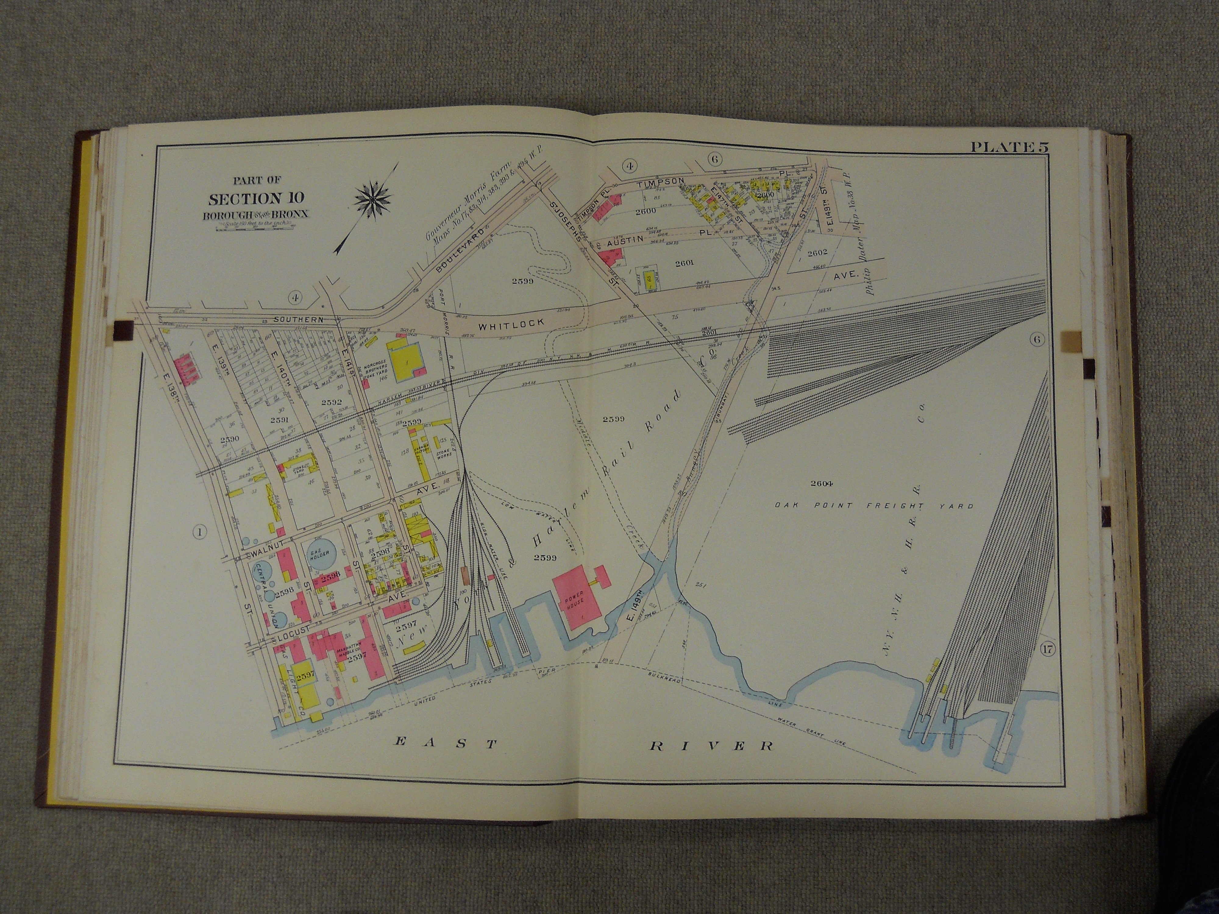
1907 Map of Port Morris

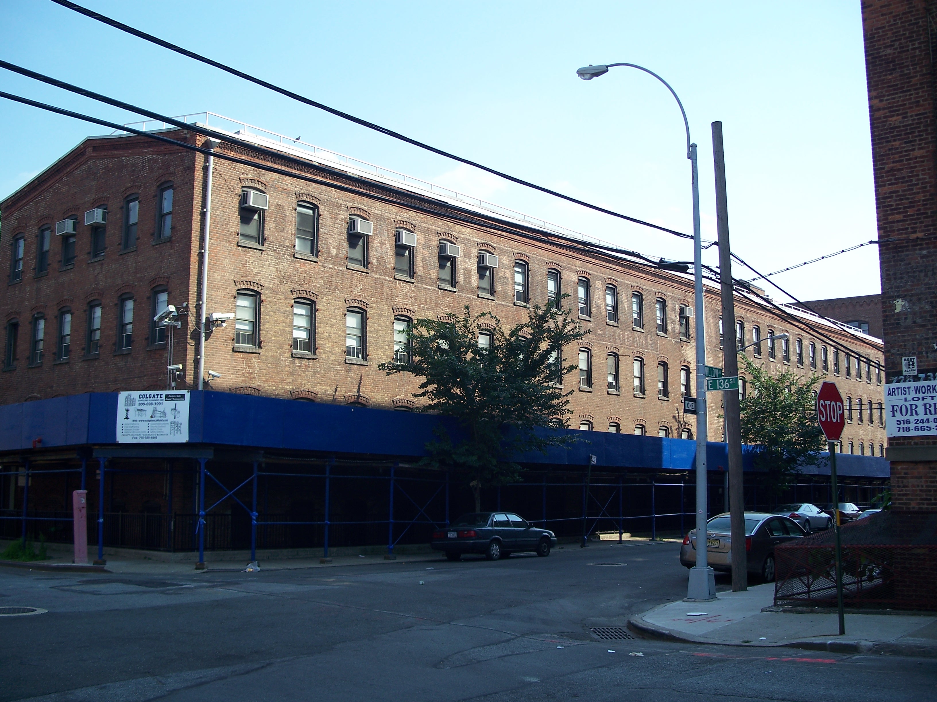
Large warehouse on the corner of East 133rd Street and Willow Avenue

Old industrial and residential buildings on East 132nd Street

Forlorn little park near the approach to the Triboro Bridge
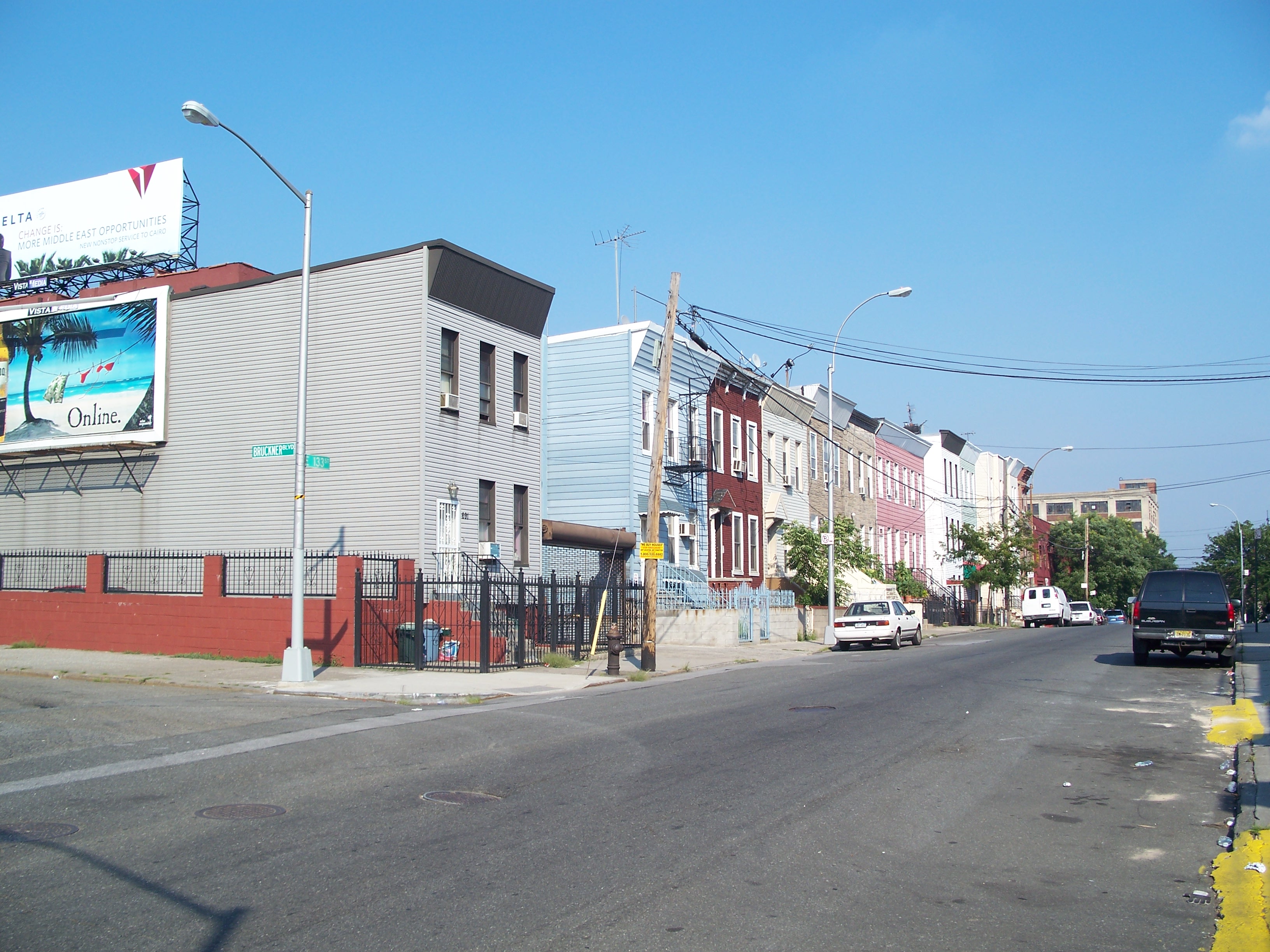
Brightly painted rowhouses on East 133rd Street

Brightly painted rowhouses on East 133rd Street
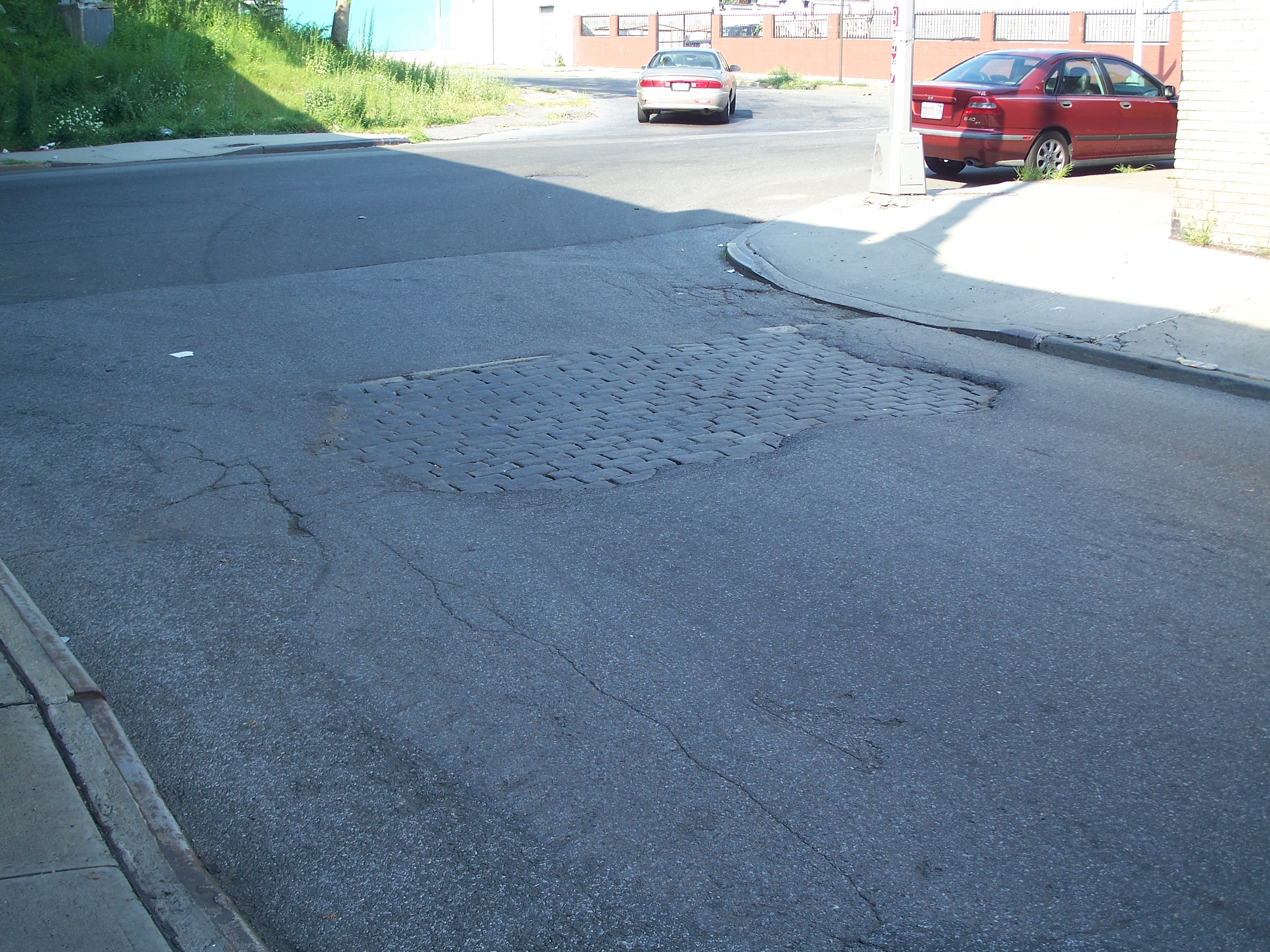
Old cobblestones under the pavement near East 133rd Street

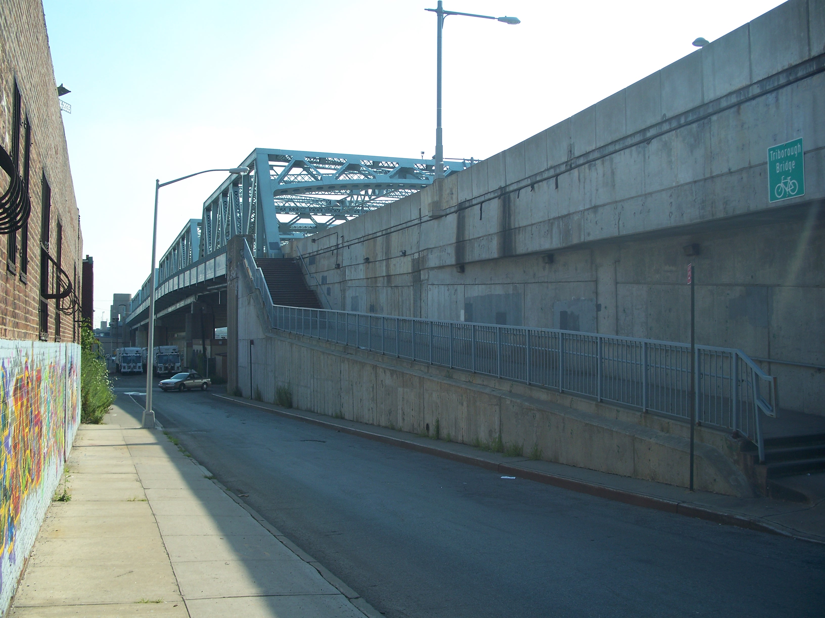
Western pedestrian ramp onto the Triboro Bridge
Eastern pedestrian ramp onto the Triboro Bridge

Acela train headed for Randall's Island

Where there are laborers, there is payday check cashing

Tracks running over East 132nd Street

Tracks running over East 132nd Street
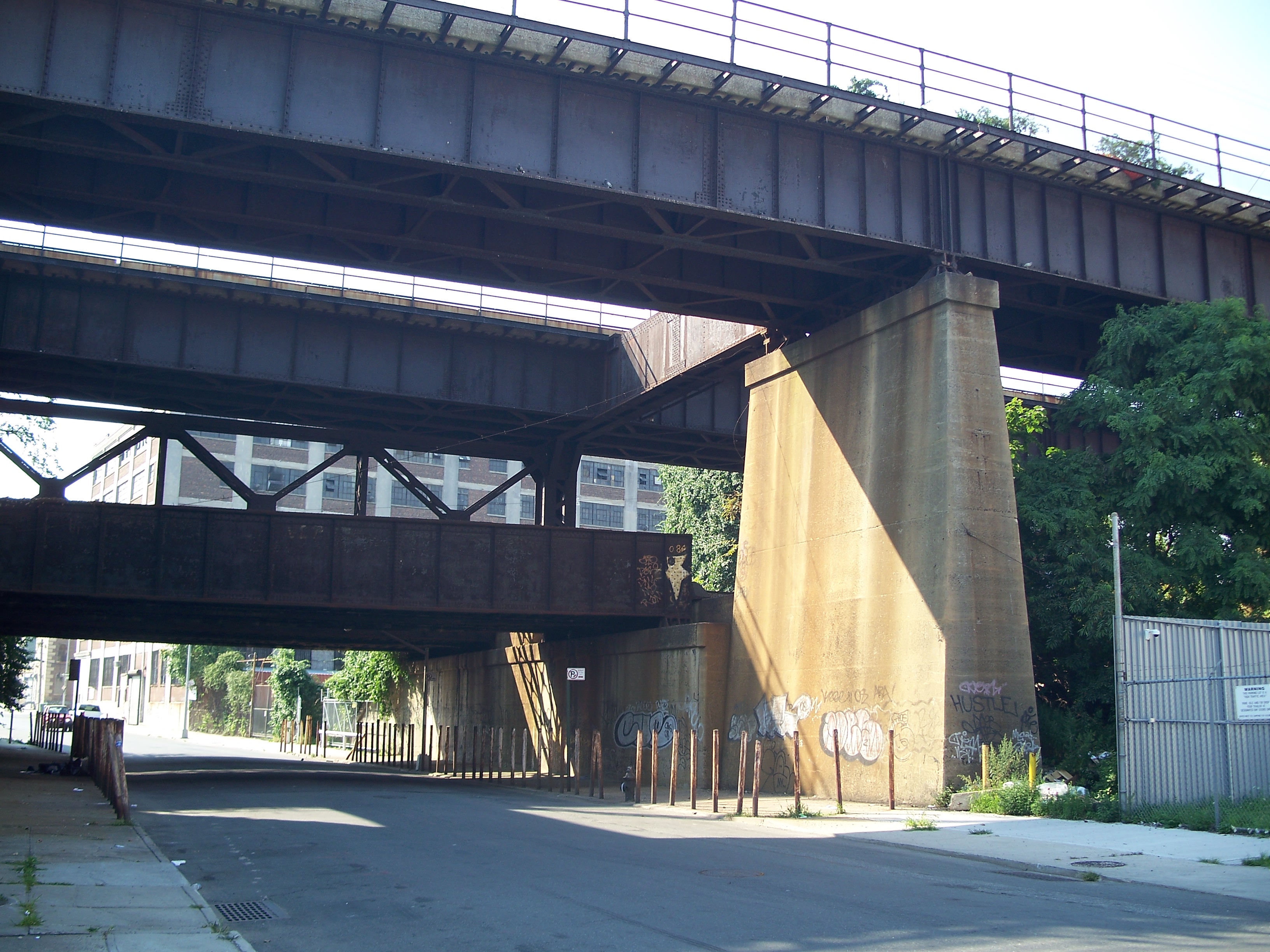
The four separate bridges crossing East 134th Street viewed from the east

Local locomotive crossing East 134th Street

Concrete block walls

Eastern track to Randall's Island

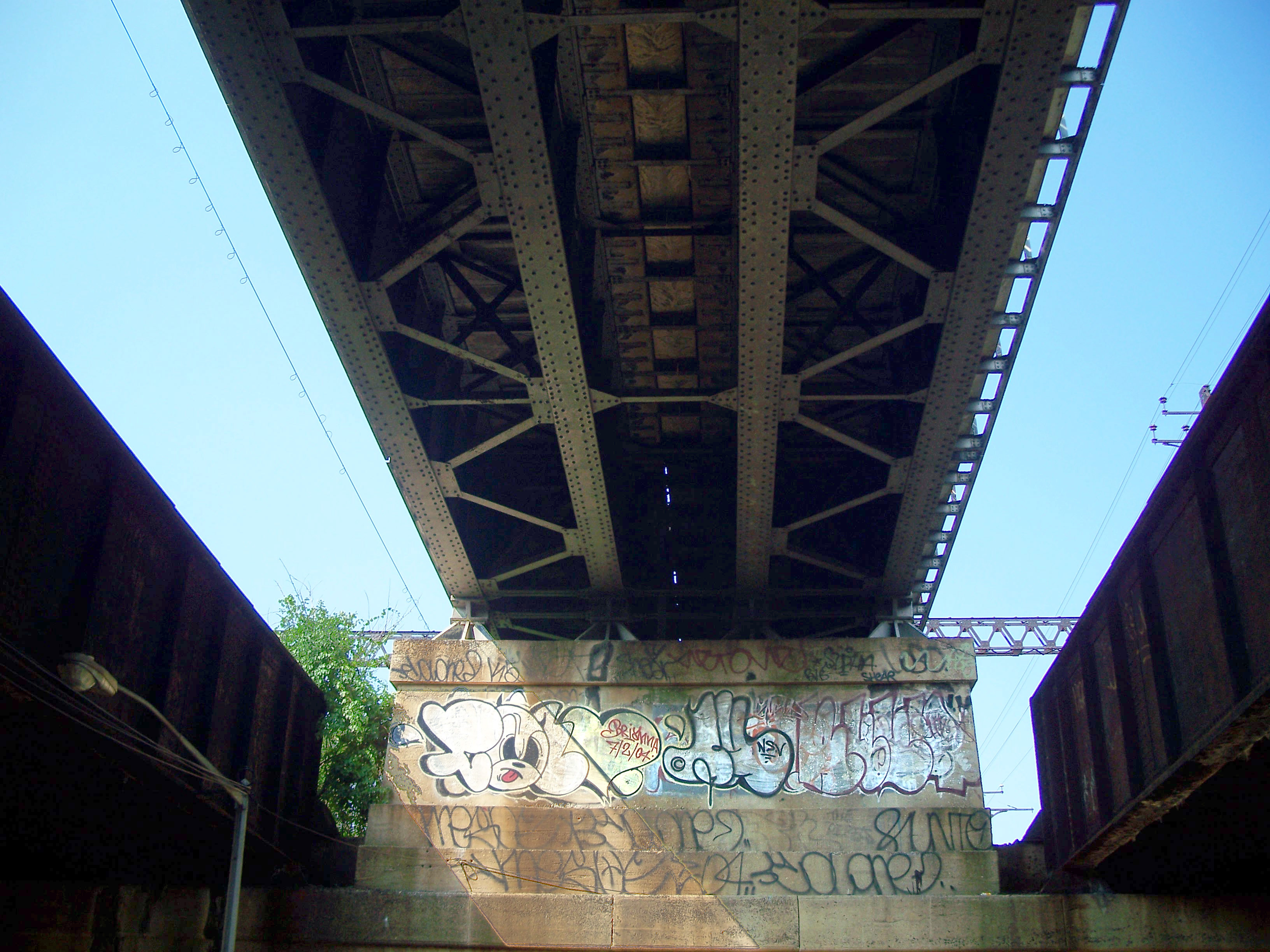
Eastern local track to Harlem River Yard (BIN 7705542)

Western track to Randall's Island
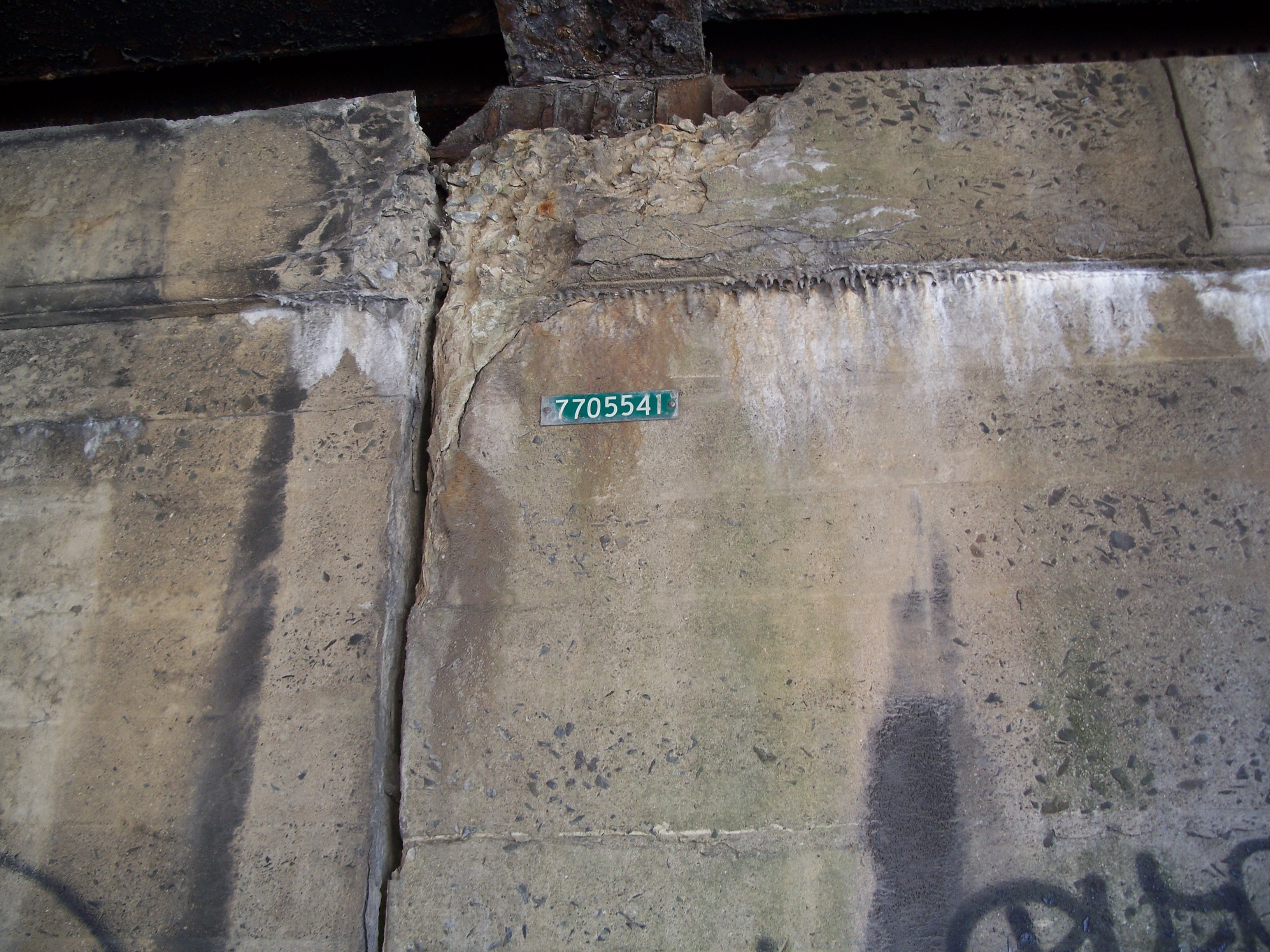
Western local track to Harlem River Yard (BIN 7705541)

Four bridges viewed from the west
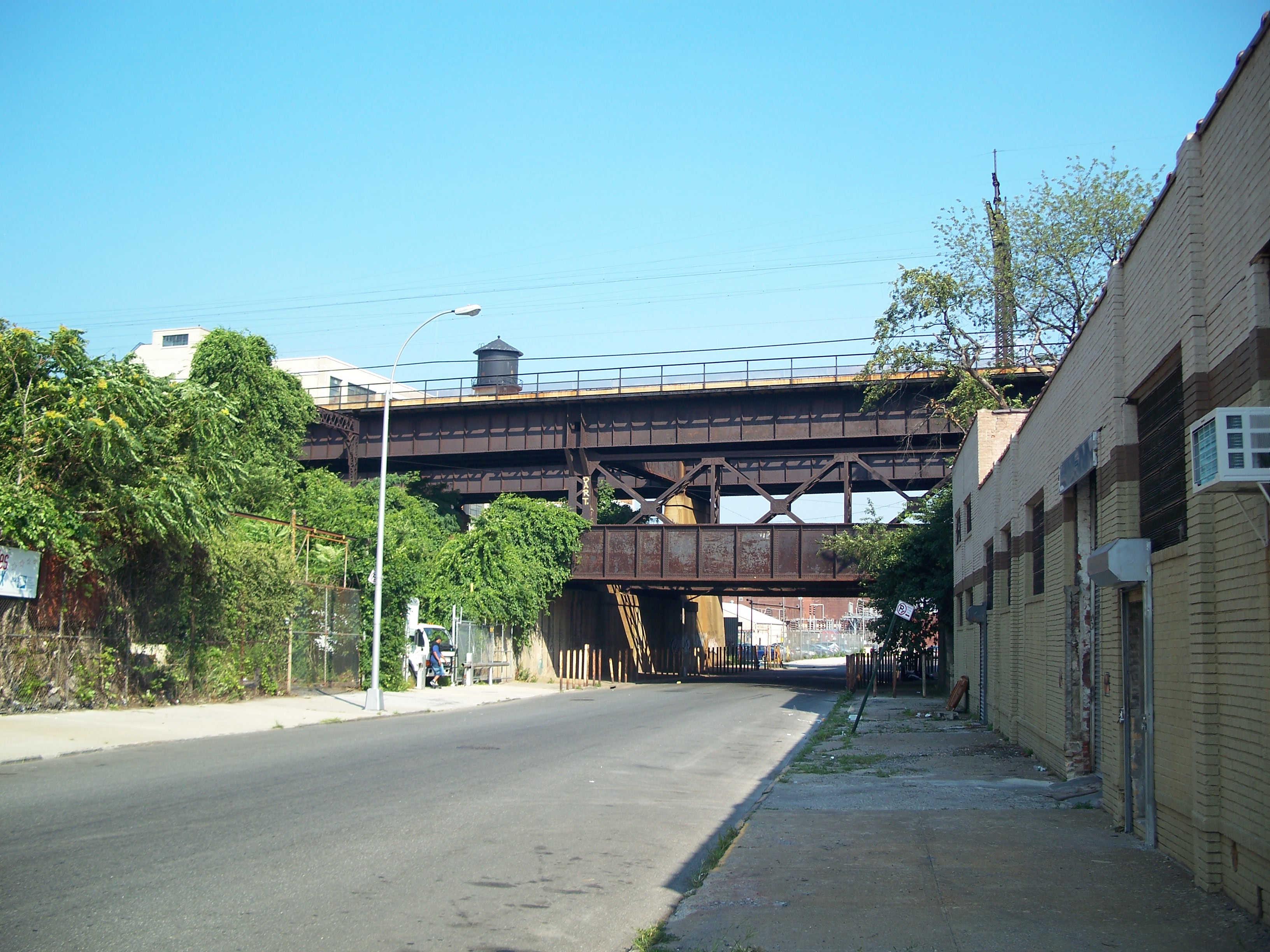
Four bridges viewed from the west

Rail bridges over East 136th Street viewed from the west

Underneath the western local bridge (BIN 7705571)

Between the western bridge and the southbound track to Randall's Island
Underneath the southbound track to Randall's Island

Underneath the eastern local bridge (BIN 7705572)
Rail bridges over East 136th Street viewed from the east

Castle Oil Terminal

Castle Oil Terminal
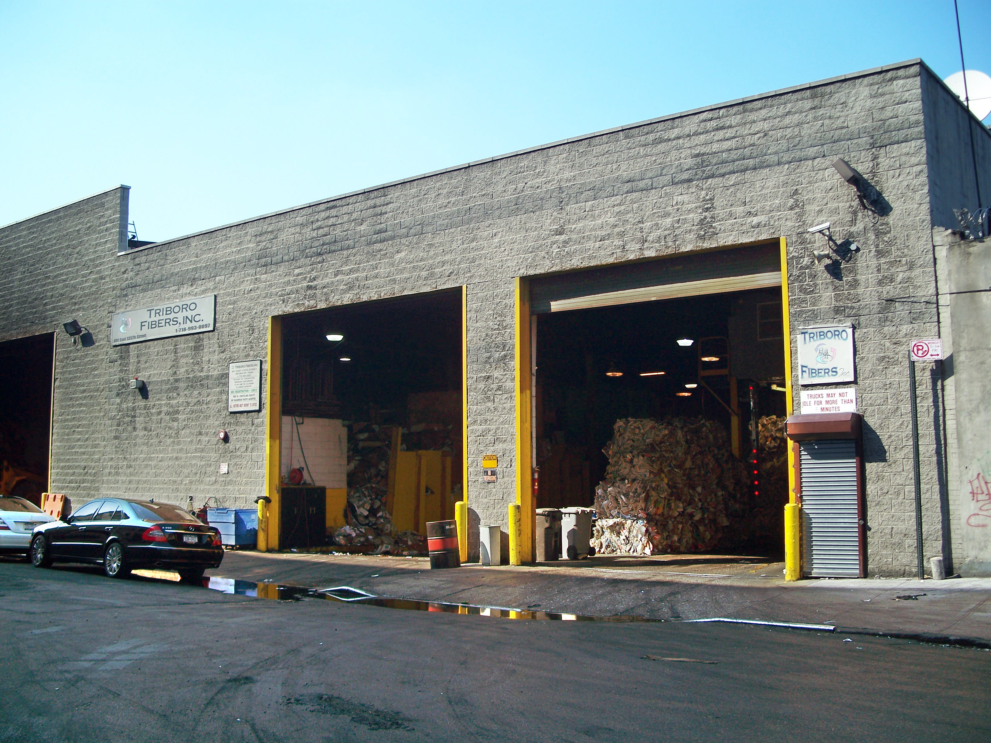
Triboro Fibers (recycling) - 891 East 135th Street
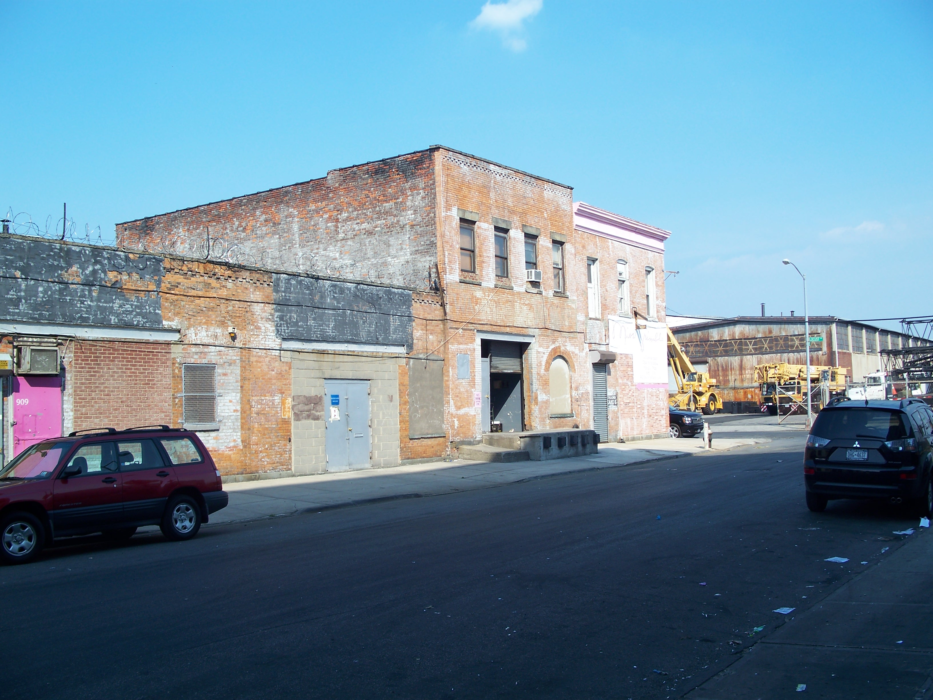
Old small industrial building on East 135th Street

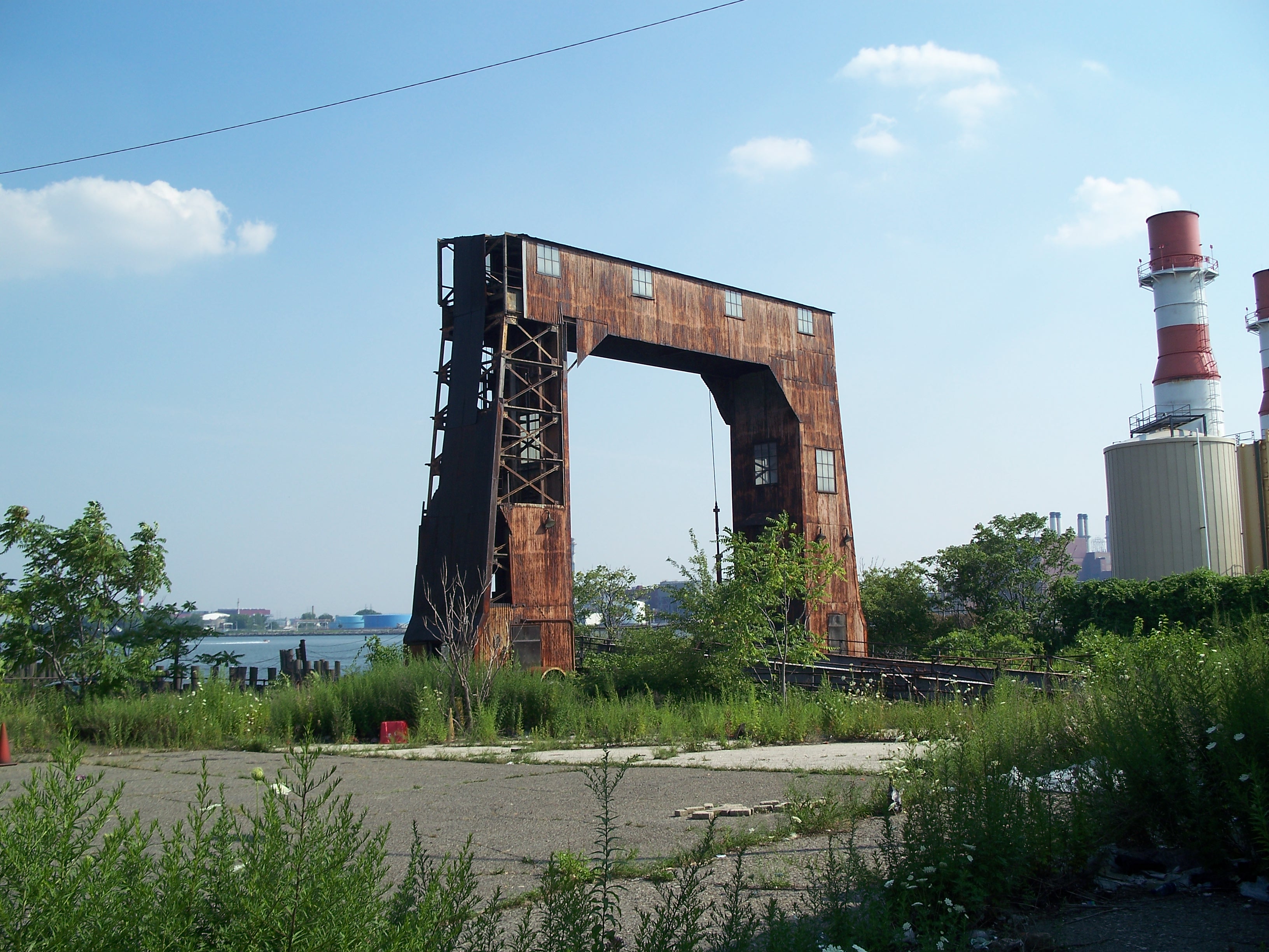
Abandoned lighterage dock at the waterfront on East 135th Street

Lighterage dock and office

Lighterage dock and office
South lighterage dock

North lighterage dock

Lighterage office
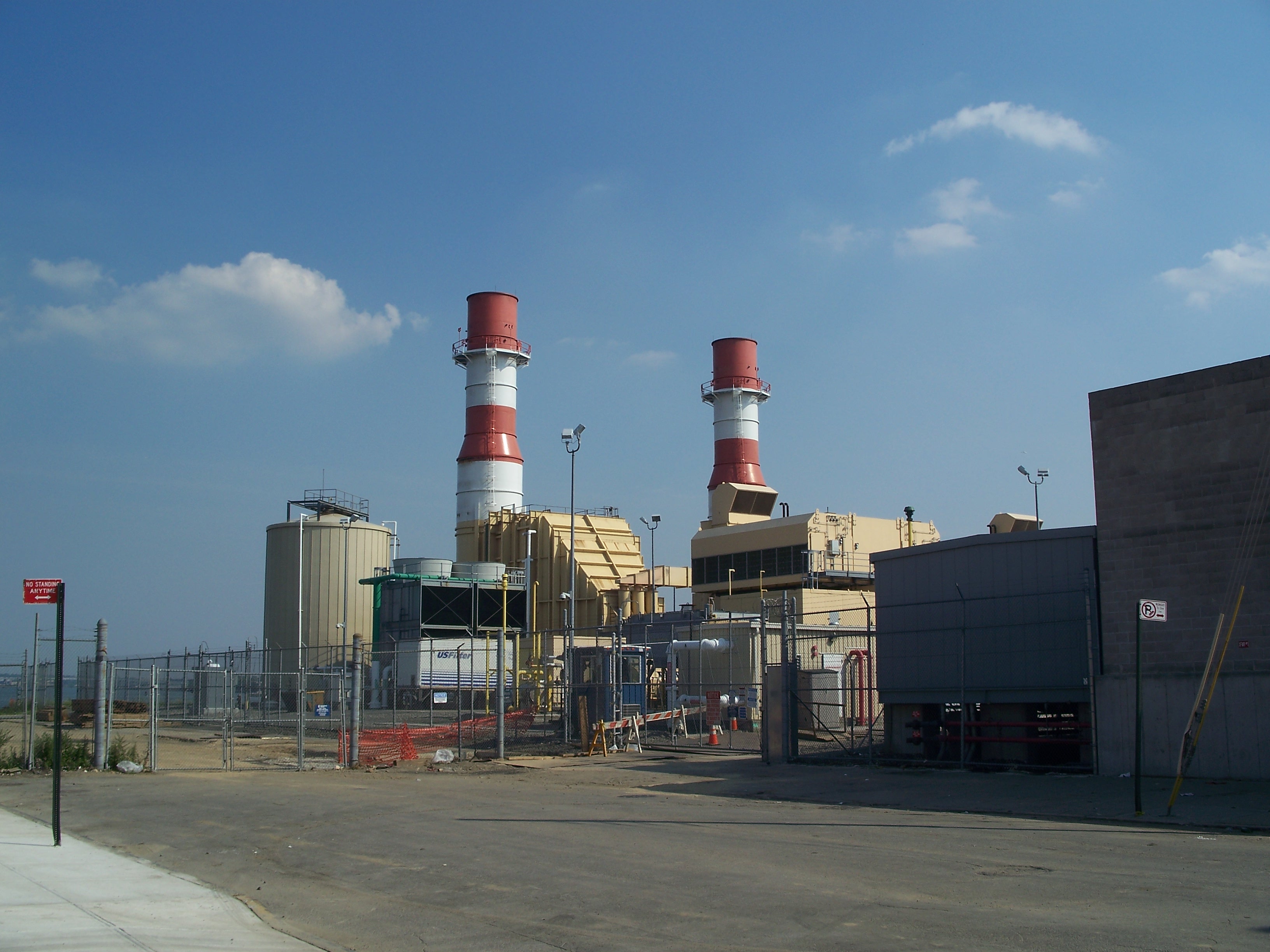
Power plant boilers
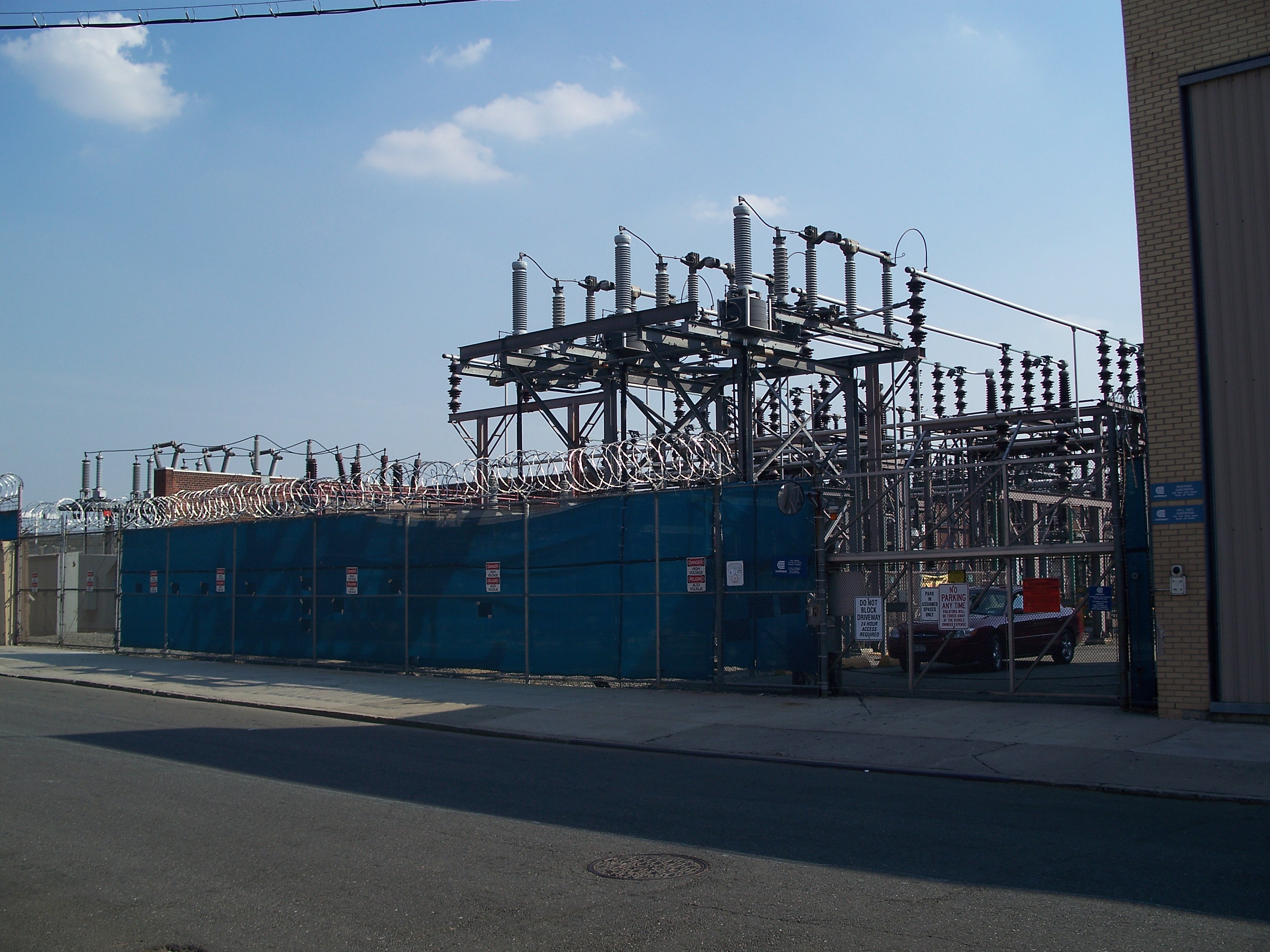
Power plant transformers

Old track siding in a driveway off Locust Avenue

Old rowhouses on East 136th Street

Old rowhouses on East 136th Street

Artists lofts for rent - 728 East 136th Street

Artists lofts for rent - 728 East 136th Street
Old warehouse on Willow Avenue

East 141st Street

East 141st Street

Rugged old building off East 140th Street

The ugly place where beautiful roses come from - 776 E 139th Street
Large apartment houses on East 137th Street

Old rowhouses on East 137th Street