Brownsville, Brooklyn
On the border of Brownsville and East New York the Bay Ridge Line descends into a cut going north. The BMT Canarsie Line (L train) joins from the south and proceeds on an elevated track just to the east of the Bay Ridge Line but standing on its right-of-way. It's a strange juxtaposition of high vs. low track. The Bay Ridge Line was built before the Canarsie Line, but the Canarsie Line was built when elevated trains were the fashion in the late 19th century and the below-grade cut for the Bay Ridge Line didn't happen until around 1914.
One suggestion of the RPA for how to start development of the Circumferential Line is by moving the Canarsie Line track into the Bay Ridge Line cut, which would improve speed on the L train as well as get a head start on track that would be presumably be shared by the Canarsie Line and the Circumferential Line.
Brownsville is a very troubled section of the city, with a high concentration of public housing units and the associated poverty and crime.
As the Bay Ridge Line curves to the north, it passes the Linden Shop and Yards... where subway tracks come from. A nice video of what goes on inside is HERE...
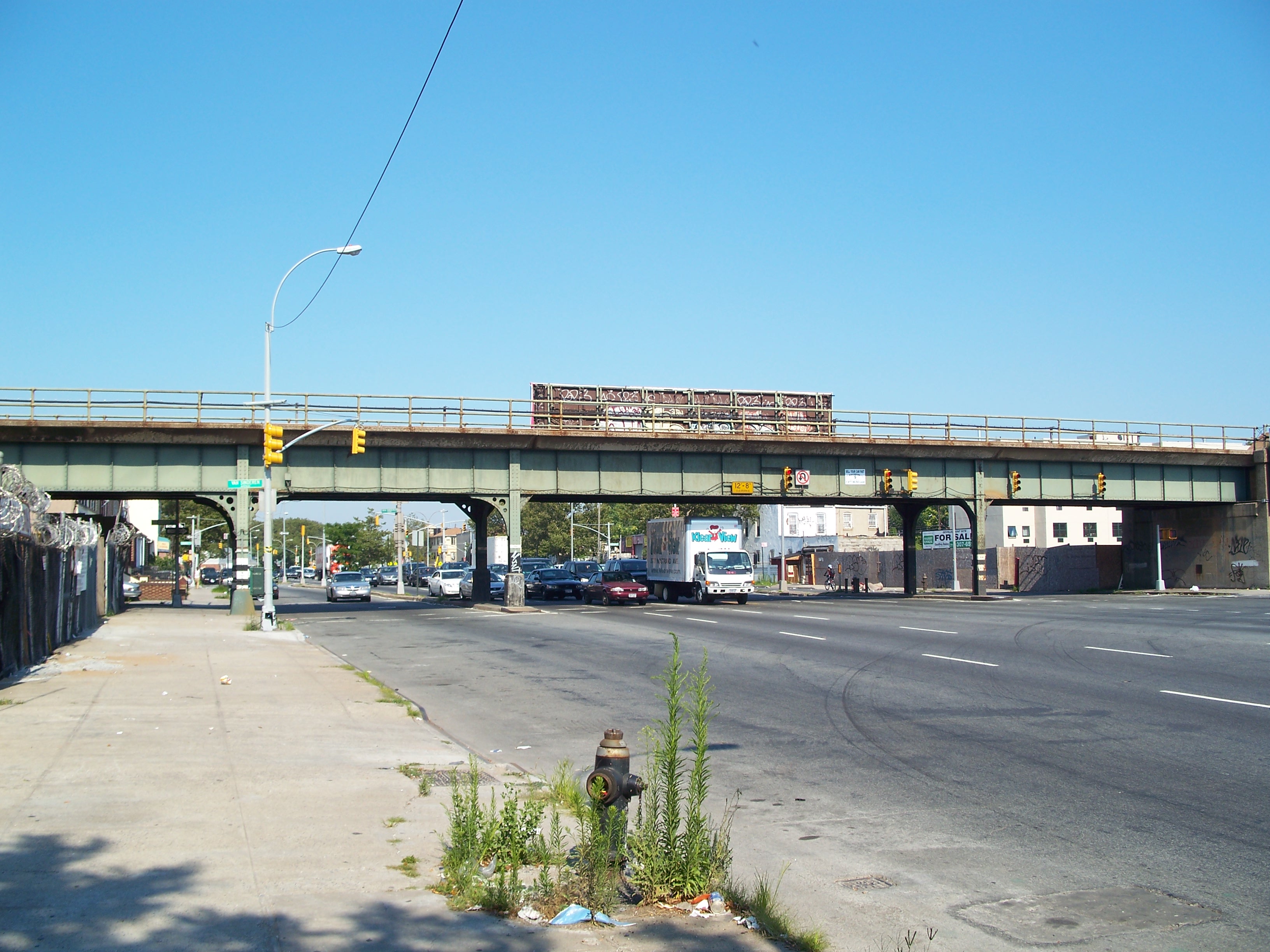
The NBI lists the Linden Boulevard Bridge (BIN 7702670) as a 173-foot steel girder bridge (widest span 62 feet) built in 1930. The date marker cast in the concrete is damaged, but appears to read 1932.

One of numerous high-rise public housing complexes in Brownsville

Rockaway Avenue side

Rockaway Avenue side

Admin Building sign
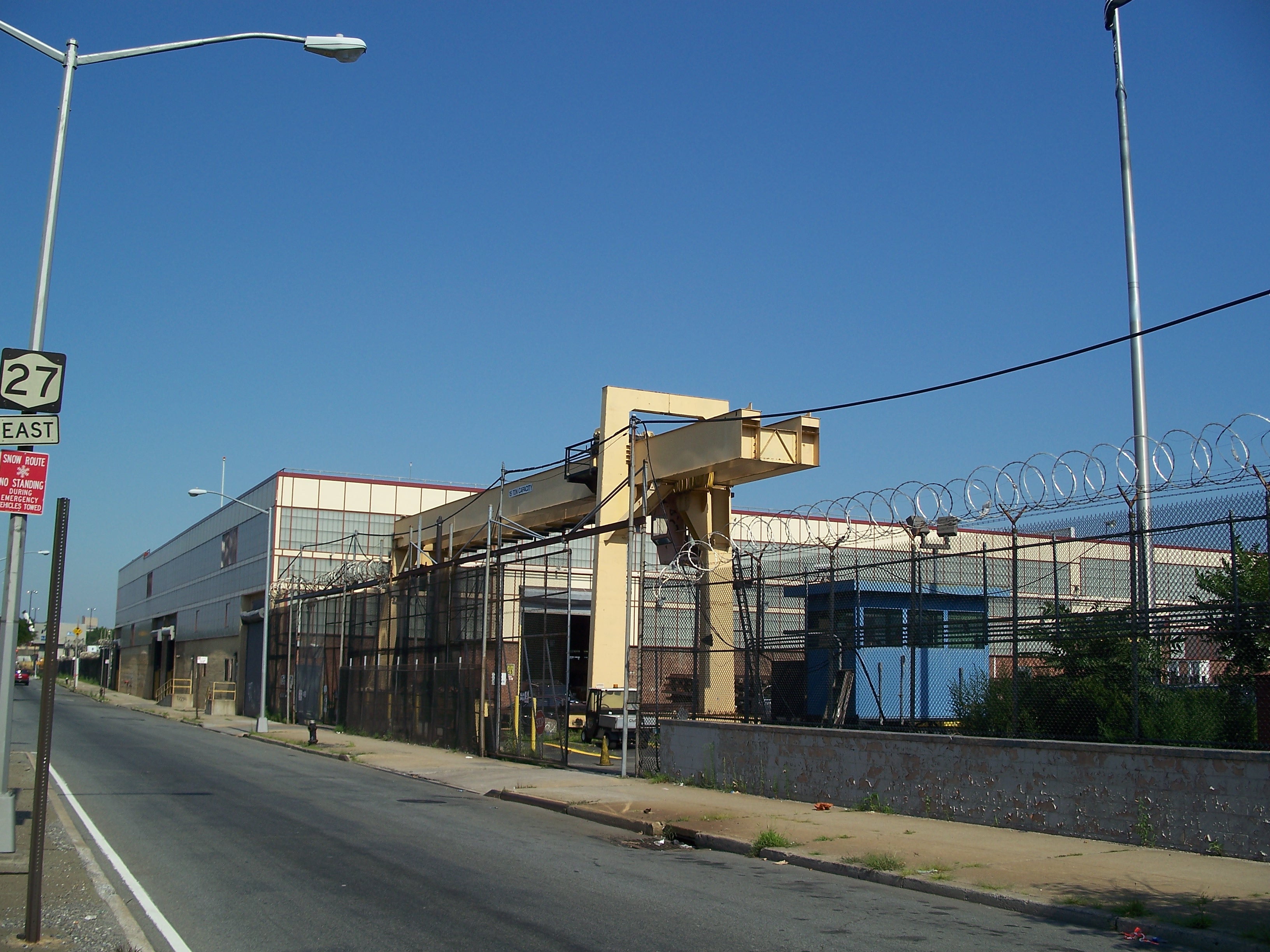
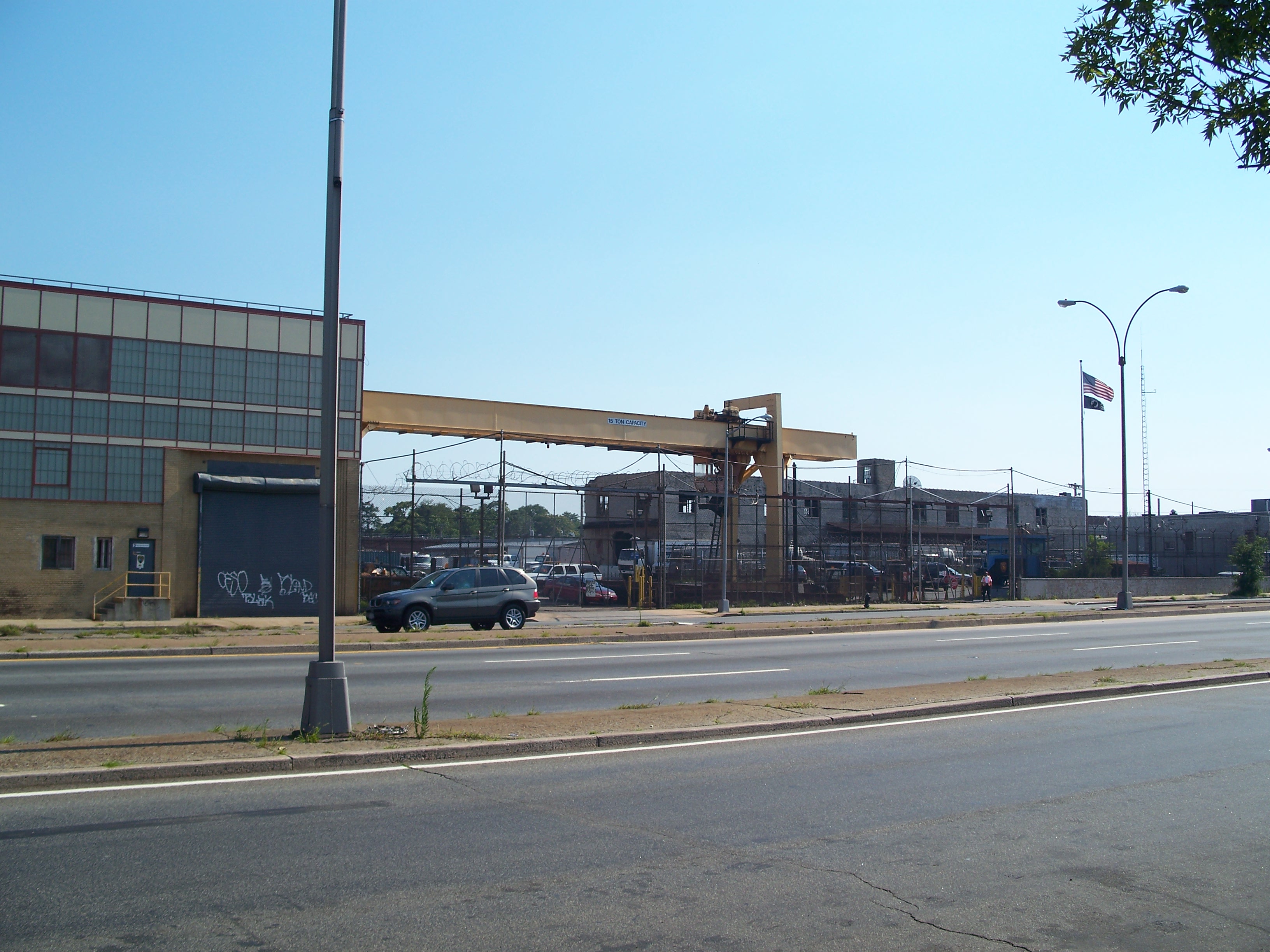
Crane

Entry gate
Crane - note the guard staring me down - so who's being terrorized now?
Linden Shop

Linden Shop

Row houses - Watkins Street at Linden Boulevard across from Linden Shop
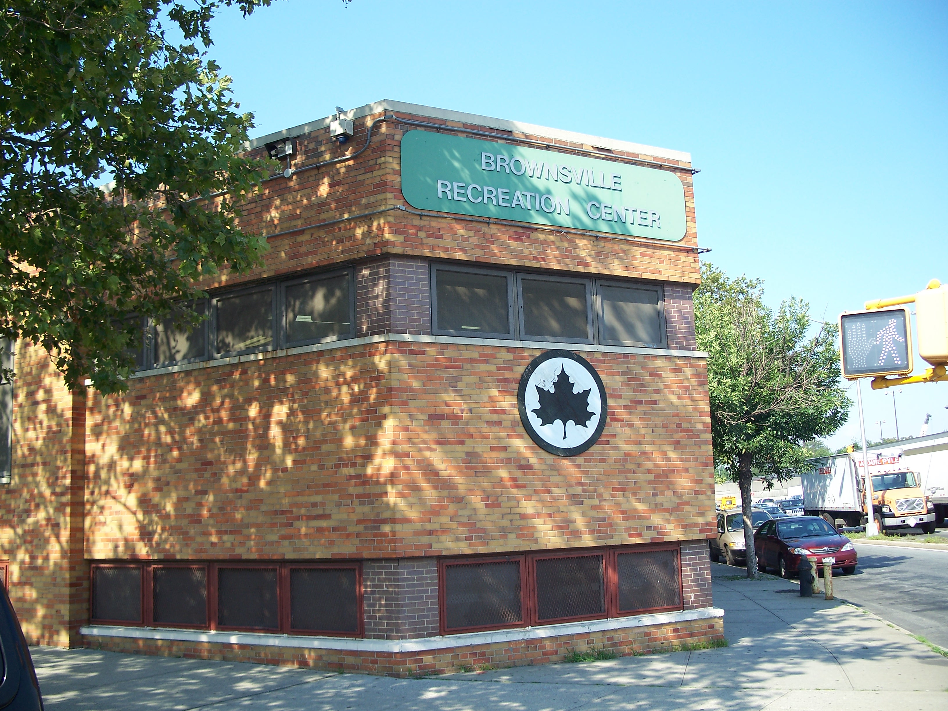
Brownsville Rec Center

Brownsville Rec Center
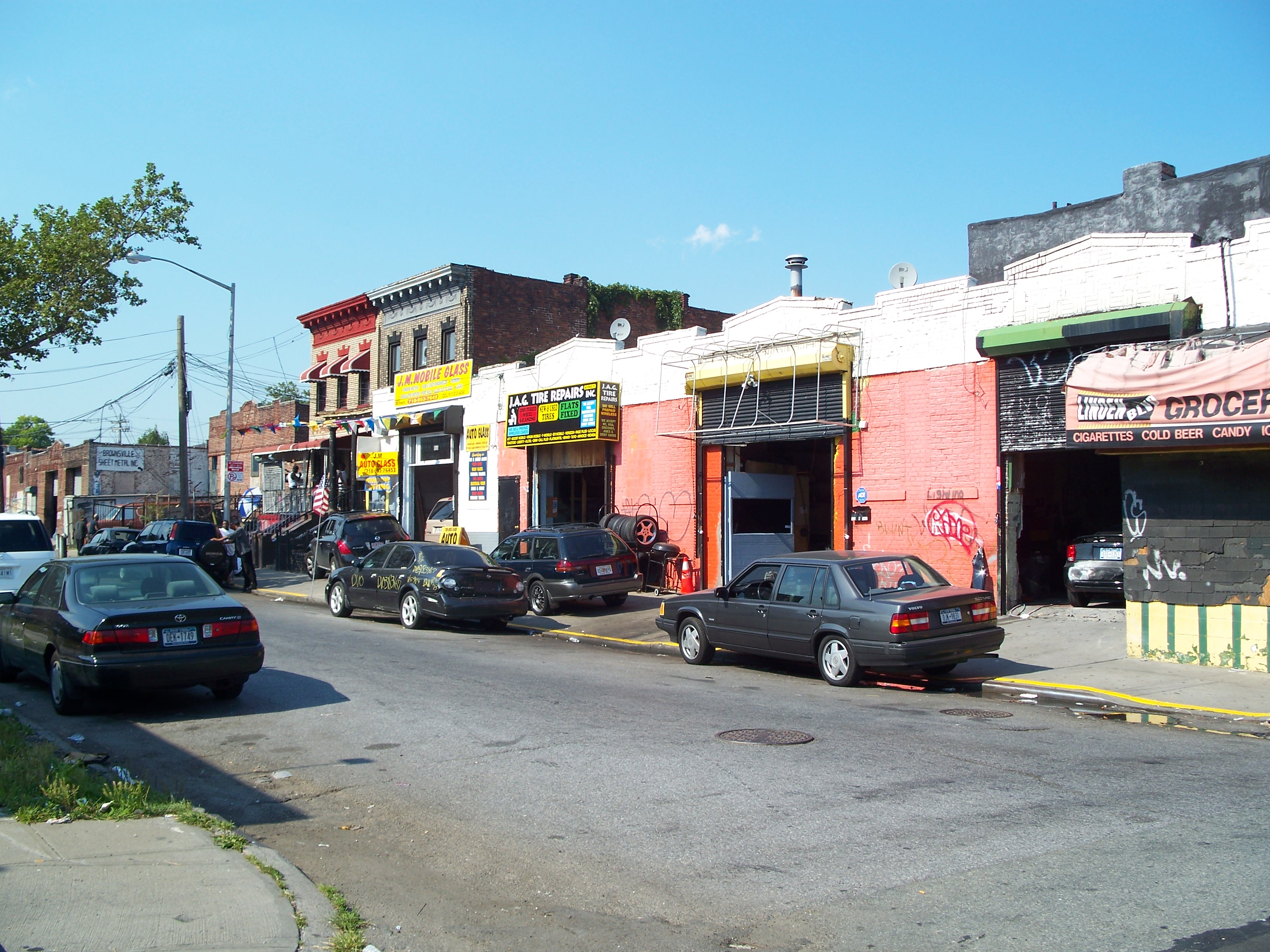
Vestiges of old Brownsville architecture off Linden Boulevard
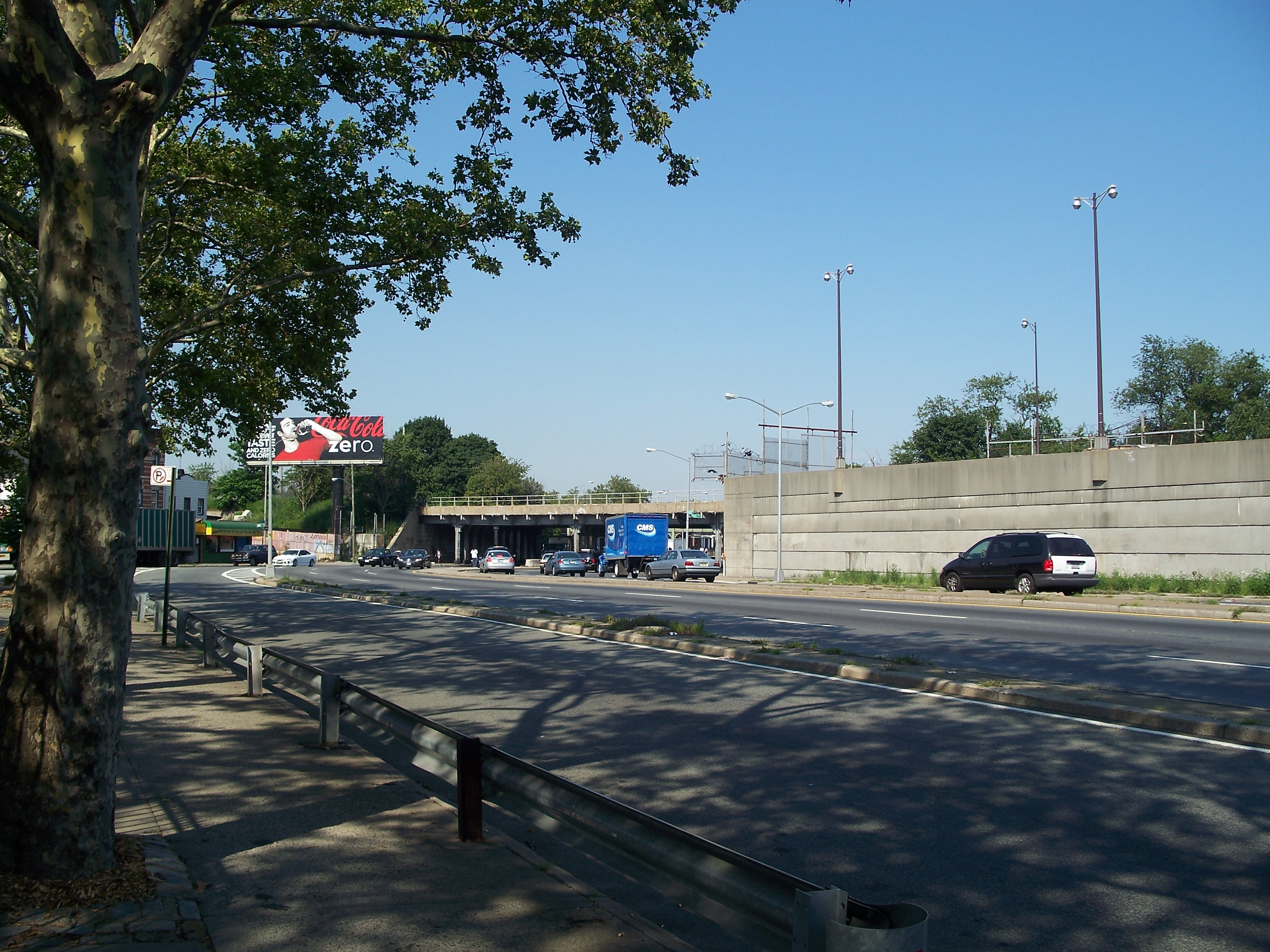
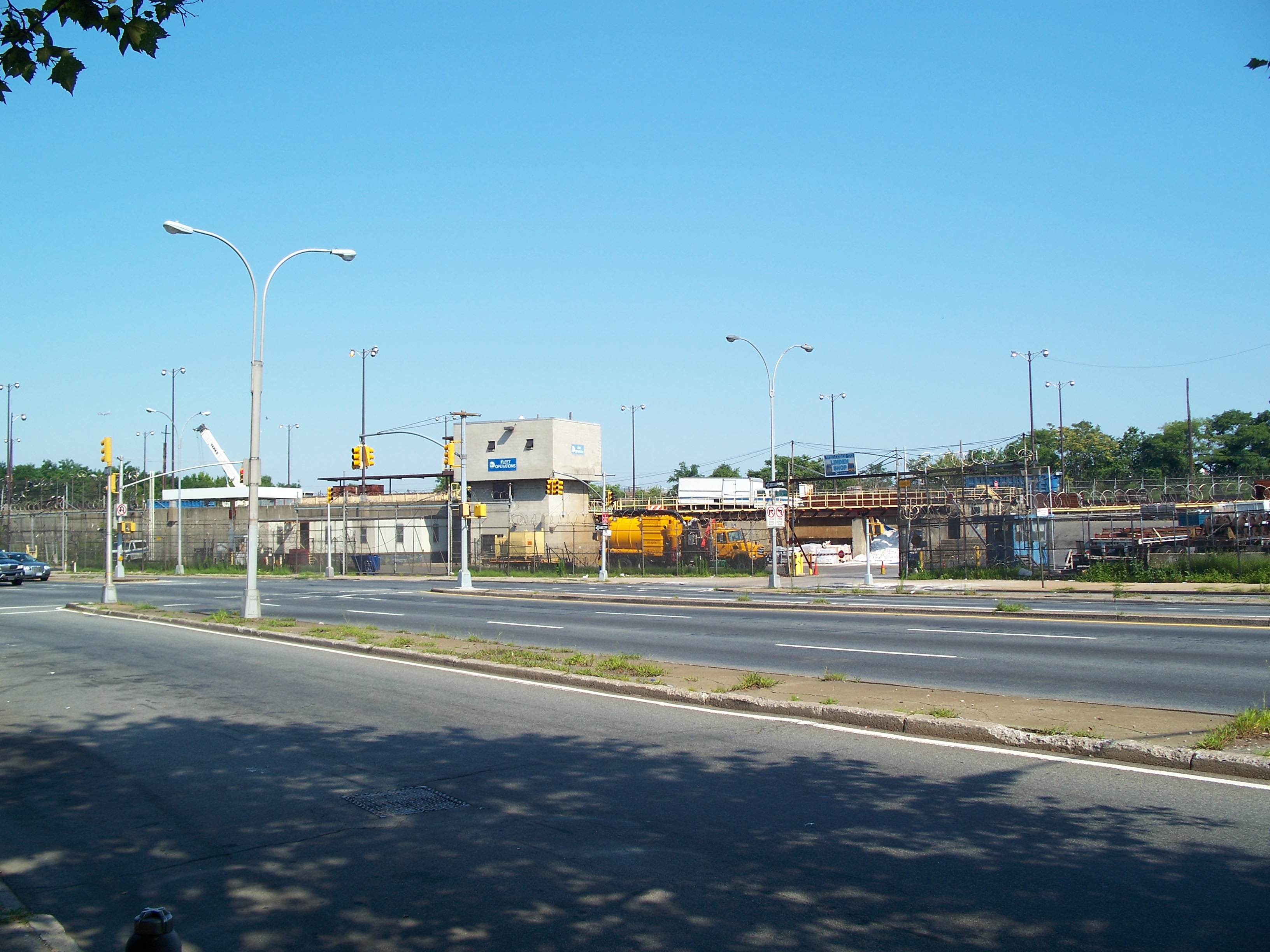
Linden Boulevard Bridges viewed from the southwest
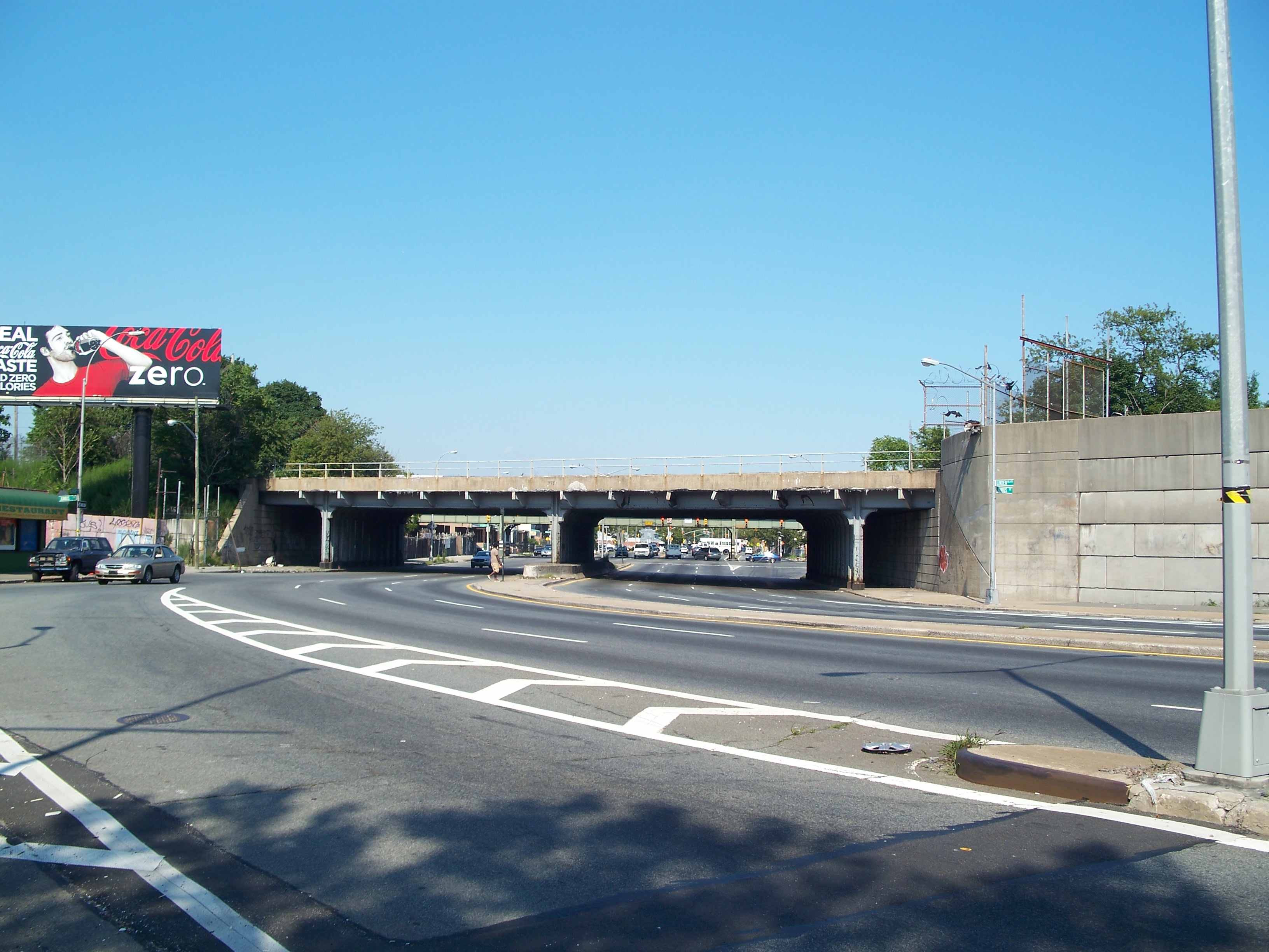
Linden Boulevard Bridges viewed from the west

Linden Boulevard Bridge
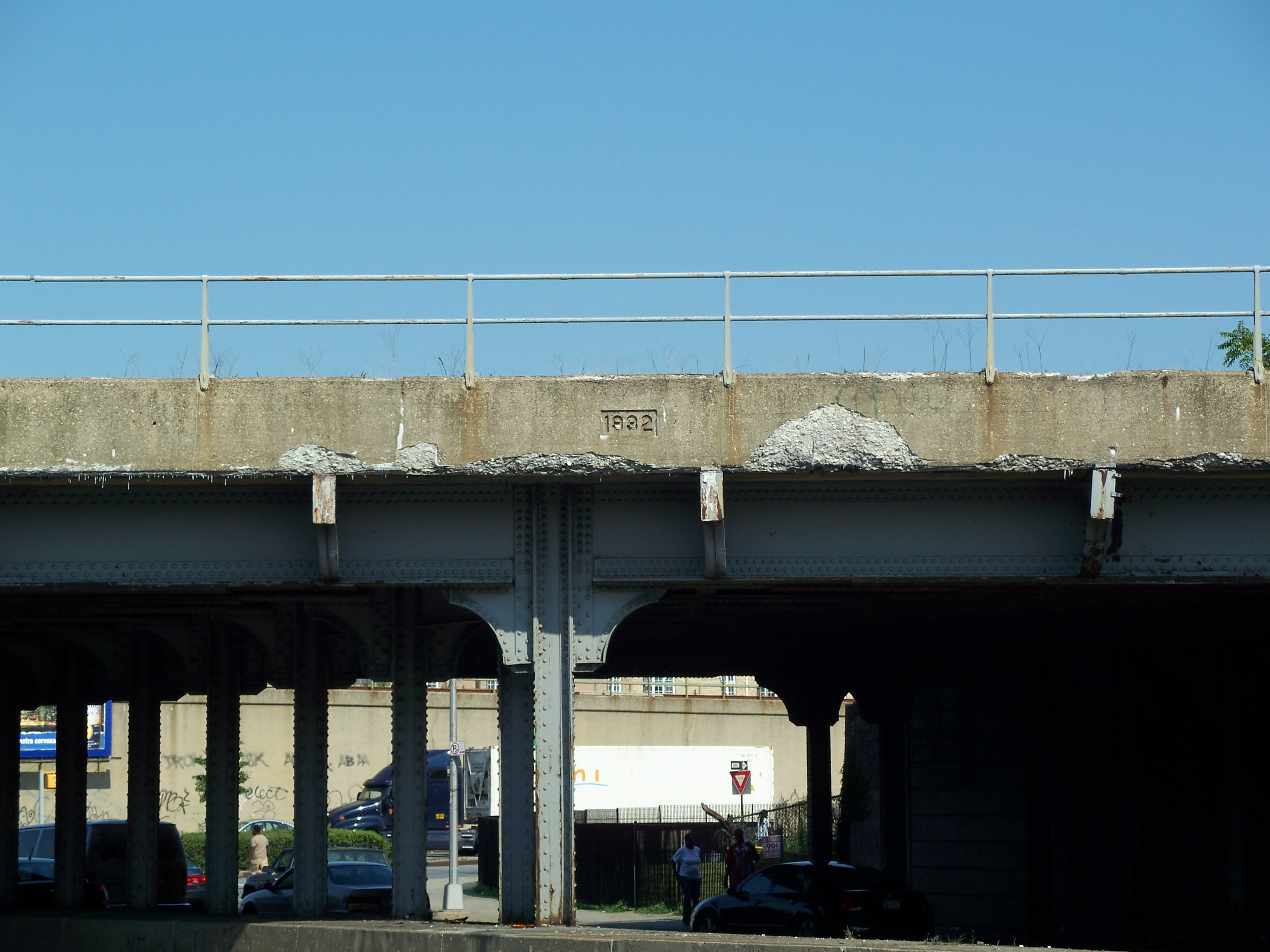
Is the date 1932?

Under the Linden Boulevard Bridge

Canarsie Line (L train) coming from the south
Canarsie Line Bridge over Linden Boulevard
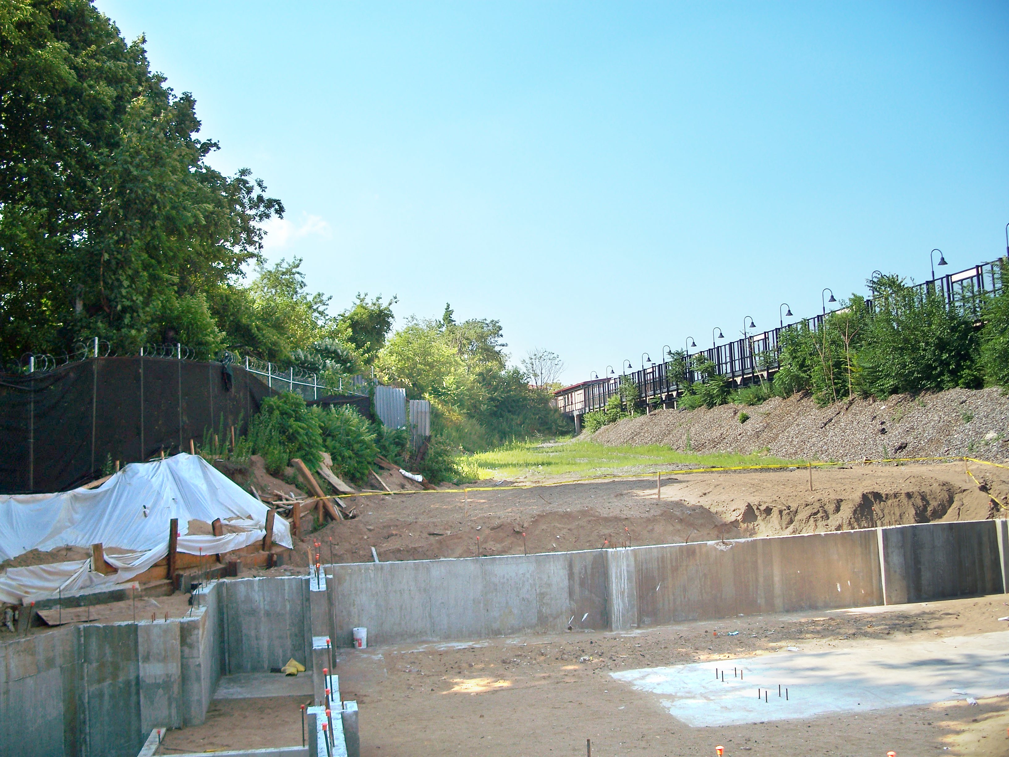
Lot being developed between the Bay Ridge Line and Canarsie Line

Narrow Van Sinderen Avenue to the east of the elevated track