ArcGIS Online Tapestry Exercise
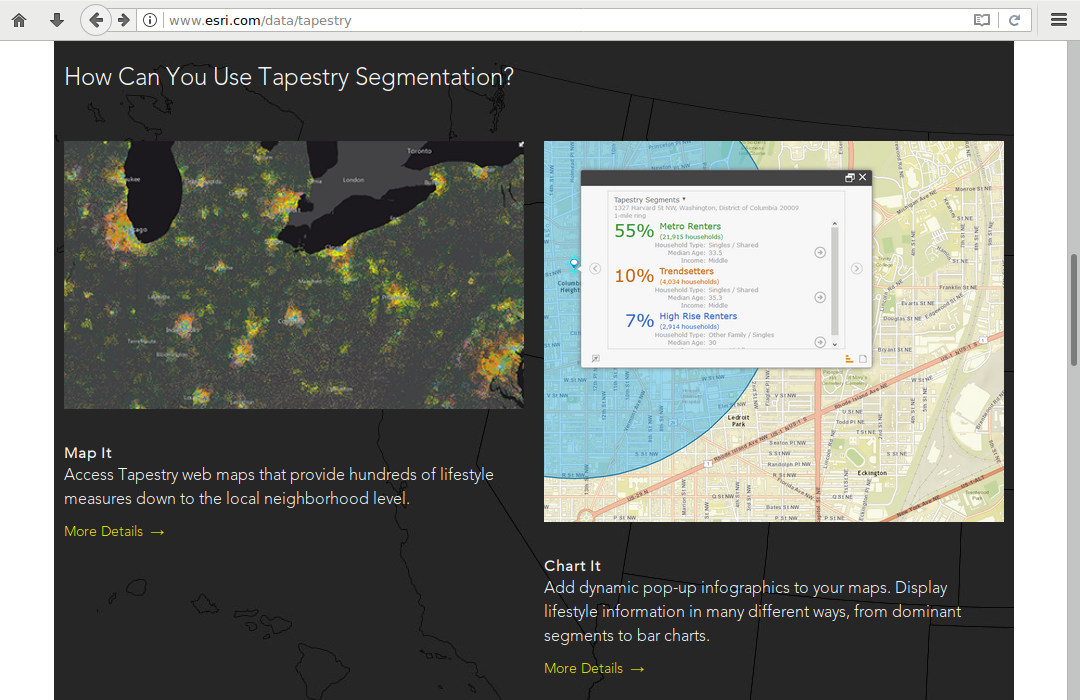
Tapestry segmentation is a data set maintained by ESRI that classifies neighborhoods into 67 unique segments based on demographics and socioeconomic characteristics. Each segment is given a fanciful, descriptive, easy-to-remember name such as Soccer Moms or Heartland Communities. While this classification scheme can miss important differences between neighborhood residents it is useful for marketers seeking to target specific groups that may be potential customers for their products or services.

Tapestry segments are based on two specific groupings:
- Fourteen LifeMode groups that each represent markets that share a common experience—born in the same generation or immigration from another country—or a significant demographic trait, like affluence
- Six Urbanization summary groups that classify markets by urban from, ranging from dense cities to rural areas
This tutorial describes an exercise that can be used to familiarize yourself with Tapestry segmentation. You will examine:
- The Tapestry segment for your current neighborhood
- The same Tapestry segment in another city (referred to as your analysis city)
- A Tapestry segment that represents a demographic group you aspire to be in within a decade

Create a Tapestry Map
Open a new map in ArcGIS Online:
- Add the 2017 USA Tapestry Segmentation Living Atlas Layer
- Adjust the transparency to 25% so the underlying base map gives some geographic context
- Save the map with a meaningful name that includes the name of your analysis city and Tapestry
- Share the map with everyone and get a link to the shared map
Create a Spreadsheet
During this exercise you will collect Tapestry segment data for three locations, and then create a pictogram map of those locations.
To collect the data, create a Google Sheets spreadsheet and add the following columns:
- Location
- Tapestry Segment
- LifeMode
- Urbanization
- Comment
- Latitude
- Longitude
- Street View
Give the spreadsheet a meaningful name so you will know what it is in the future.
Share the spreadsheet to get a sharable link.
Current Neighborhood
On your Tapestry map, zoom in to the lowest level of generalization and click on your neighborhood to find the Tapestry segment for your current residence. This example will use a neighborhood in Farmingdale, NY on Long Island.
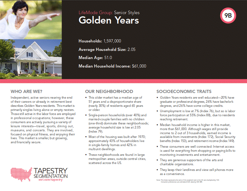
Note that this popup contains the Tapestry segment name and basic demographic information on that neighborhood. You can click the Tapestry segment name to see a data sheet on that segment.
Search the Tapestry segmentation LifeMode list to find that LifeMode and find a characteristic of that LifeMode that you feel is most applicable to your demographic group.
Add a new row to your spreadsheet with the following columns:
- Location: "Home"
- Tapestry Segment: The name and ID of the Tapestry segment for your current residence
- LifeMode: The name of the LifeMode group for that segment
- Urbanization: The name of the Urbanization summary group for that segment
- Comment: One characteristic of the LifeMode group that you feel best describes your household's demographic. No quotation marks or citation is needed
- Latitude: A latitude in that neighborhood using the location tool
- Longitude: A longitude in that neighborhood
- Street View: A shared link to a Google Maps street view near that latitude and longitude
Analysis City Neighborhood
Zoom in to the lowest level of generalization and find a neighborhood in your analysis city with a Tapestry segment matching your home neighborhood. This example will use Seattle, WA.
If you are unable to find a matching segment in your analysis city, find one in that region that is as close to your analysis city as possible.
Search the Tapestry segmentation Urbanization groups list to find that Urbanization group and find a characteristic of that Urbanization group that you feel is most applicable to your neighborhood
Add a new row to your spreadsheet with the following columns:
- Location: "Analysis City"
- Tapestry Segment: The name and ID of the Tapestry segment (same as prior question)
- LifeMode: The name of the LifeMode group for that segment (same as prior question)
- Urbanization: The name of the Urbanization summary group for that segment (same as prior question)
- Comment: One characteristic of the Urbanization summary group that you feel best describes your household's demographic. No quotation marks or citation is needed
- Latitude: A latitude in that neighborhood using the location tool
- Longitude: A longitude in that neighborhood
- Street View: A shared link to a Google Maps street view near that latitude and longitude
Ten-Years Neighborhood
Look through the Tapestry segment documentation to find a Tapestry segment that you feel most closely matches the demographic group you would like to be in ten years from now. If you aspire to be in the same segment you are currently in, select a different segment that has similar characteristics.
If there is a neighborhood you are familiar with that you aspire to live in, finding a Tapestry segment for that neighborhood can be a quick way to find a segment. This example uses Manhattan's Upper West Side.
Add a new row to your spreadsheet with the following columns:
- Location: "Ten Years"
- Tapestry Segment: The name and ID of the Tapestry segment
- LifeMode: The name of the LifeMode group for that segment
- Urbanization: The name of the Urbanization summary group for that segment
- Comment: One characteristic of the LifeMode group OR the Urbanization summary group that you feel best describes your aspirational demographic. No quotation marks or citation is needed
- Latitude: A latitude in that neighborhood using the location tool
- Longitude: A longitude in that neighborhood
- Street View: A shared link to a Google Maps street view near that latitude and longitude
Location Map
Create a map from your locations spreadsheet.
- Export your spreadsheet to a CSV file
- Import it as a new point layer on the ArcGIS Online Tapestry map you created above
- Symbolize the points as meaningful pictograms based on your Location column
- Make the pictograms 24 px or larger in size so they are clearly visible