Capitol Limited: Harper's Ferry / Chesapeake and Ohio Canal
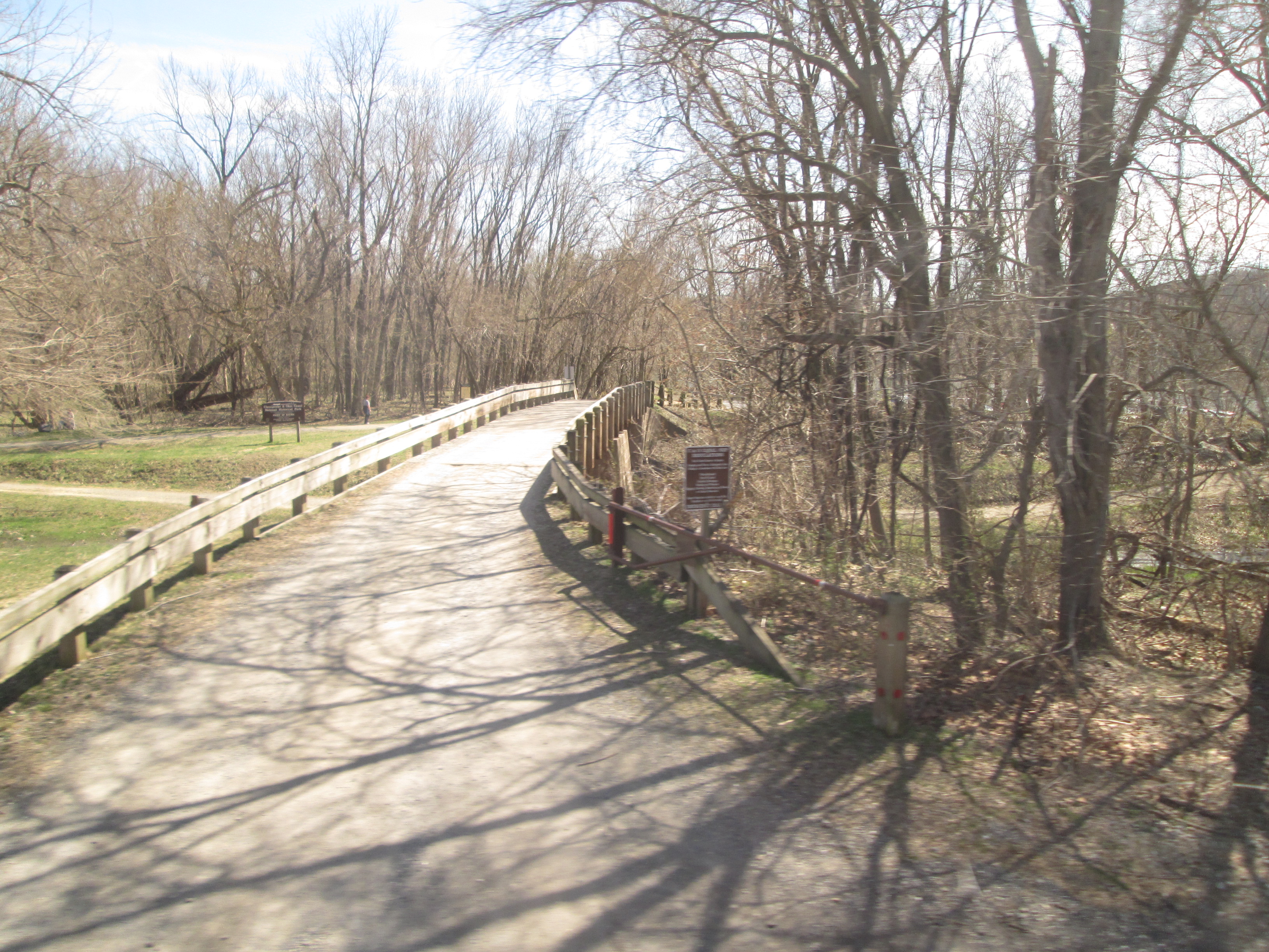
Construction of the 185-mile Chesapeake and Ohio Canal began in 1828 and portions of the canal were in operation from 1830 until declining traffic and a major flood led to abandonment in 1924. The canal was transferred to the federal government in 1938 and partially used for recreational purposes. The facility became a national park in 1971. Remnants of the canal and towpaths are visible alongside the tracks from Point of Rocks to Harper\'s Ferry.
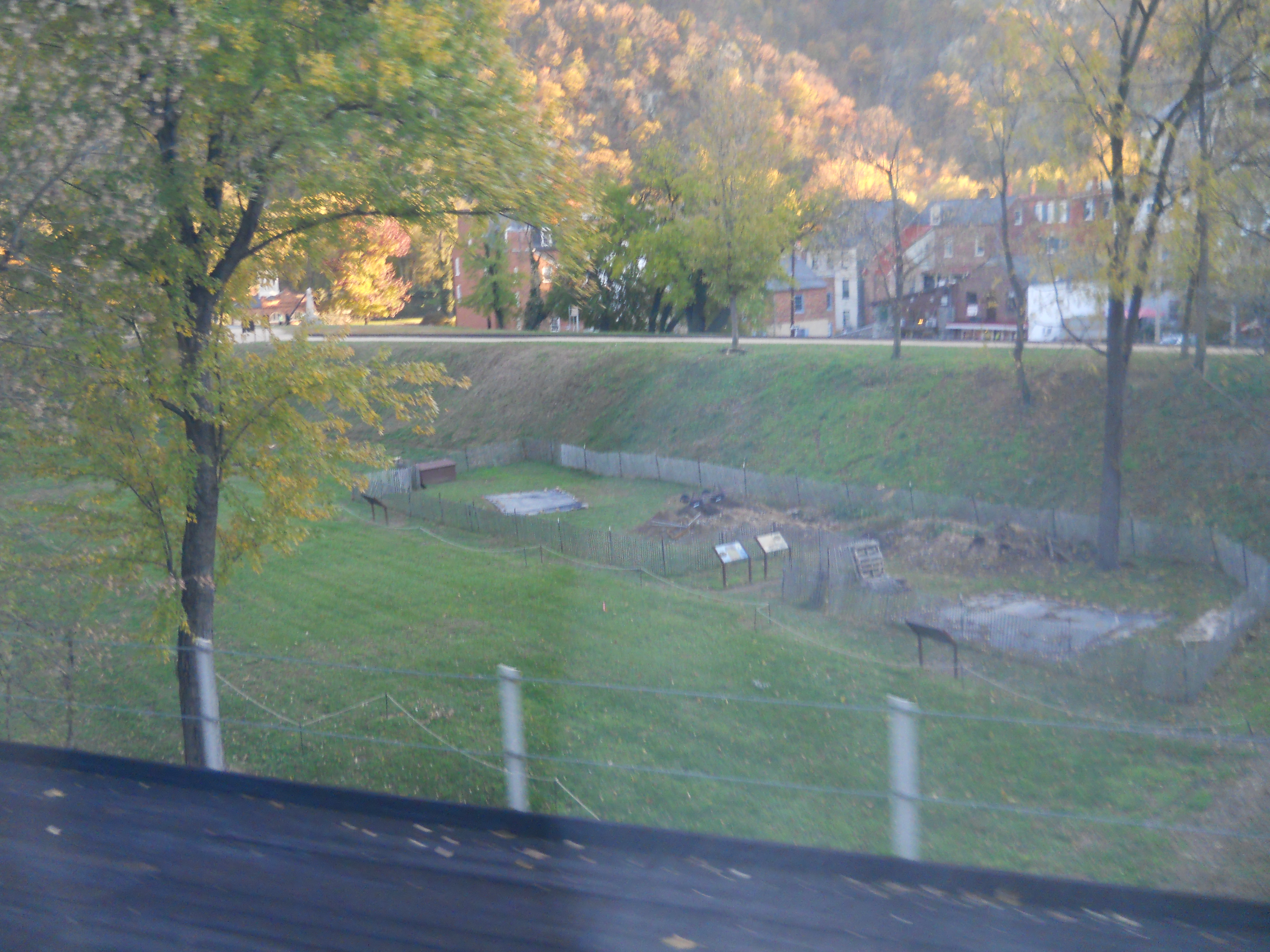
Harper's Ferry
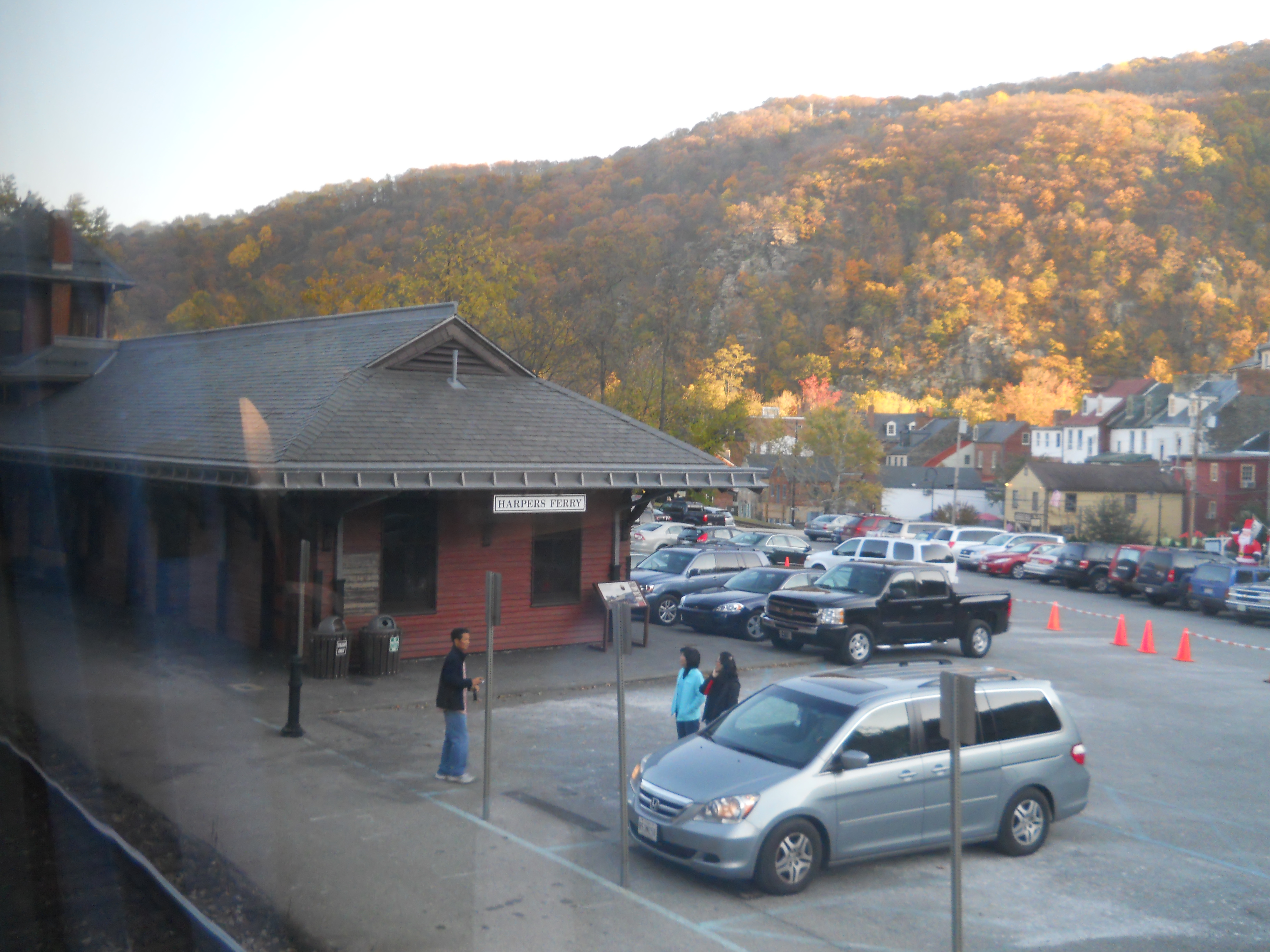
Harper's Ferry Station

Harper's Ferry
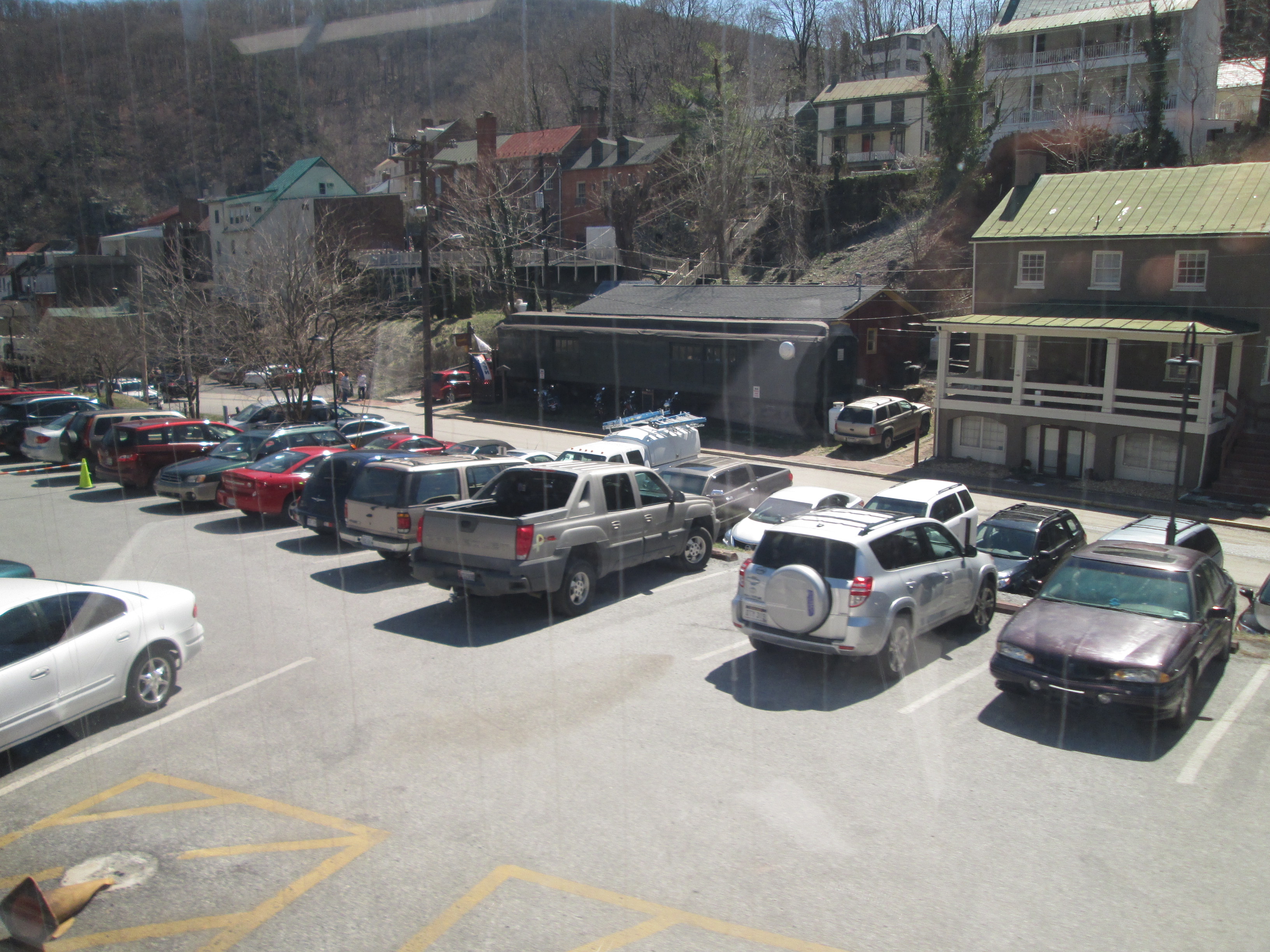
Harper's Ferry

Harper's Ferry

Appalachian Trail Bridge / Confluence of Potomic and Shenandoah
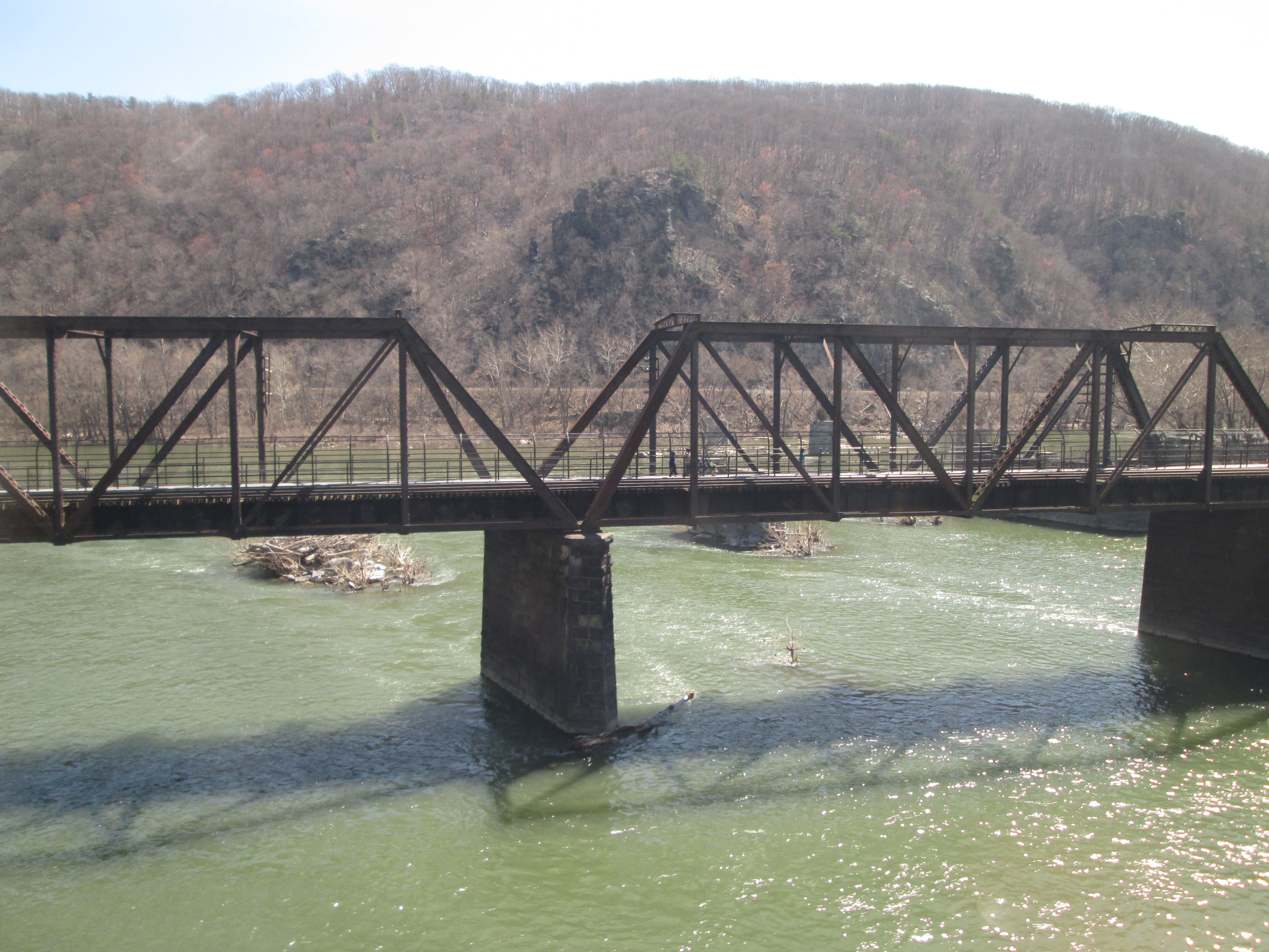
Appalachian Trail Bridge

Appalachian Trail Bridge

Potomac River

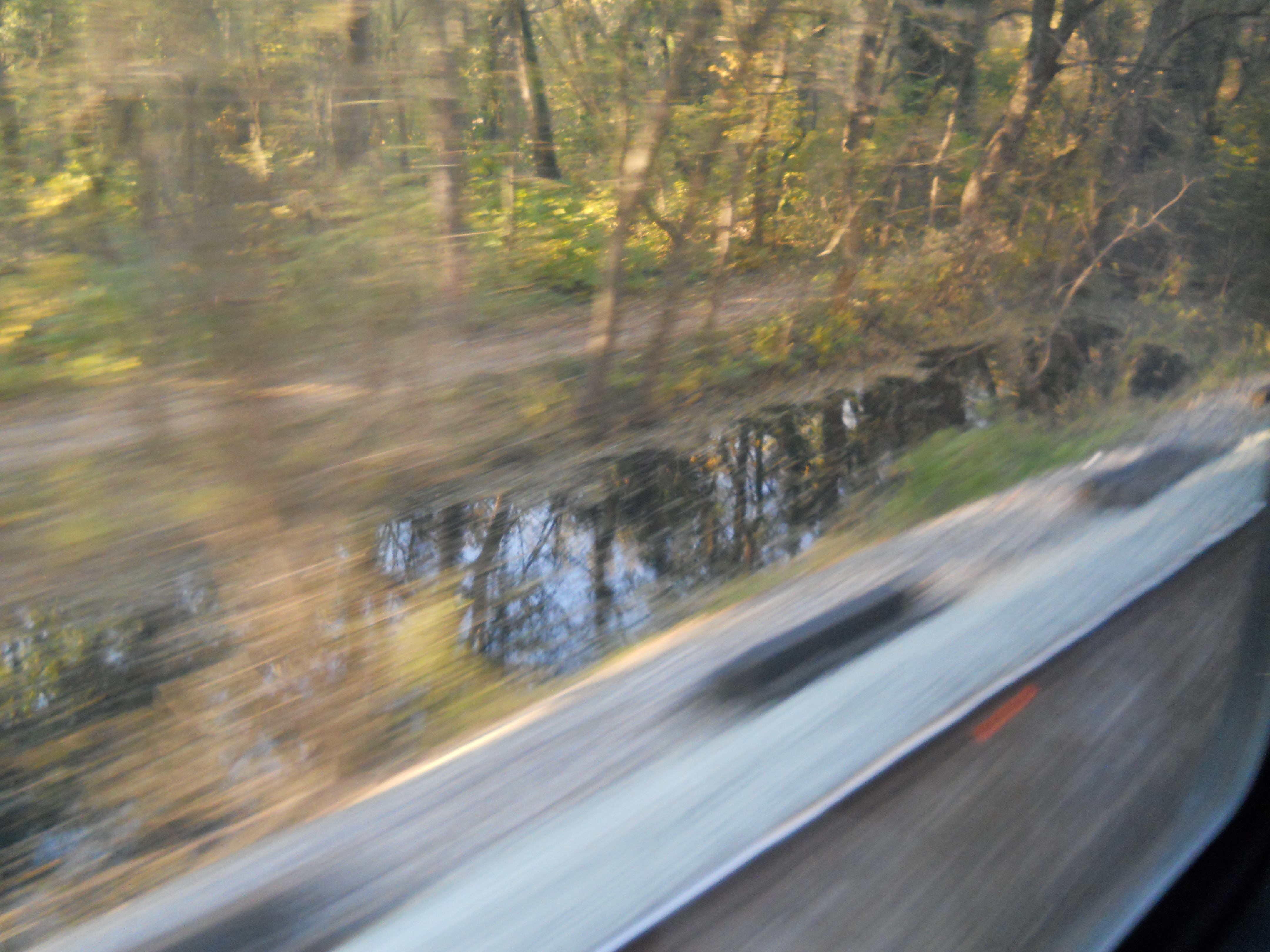
Chesapeake and Ohio Canal
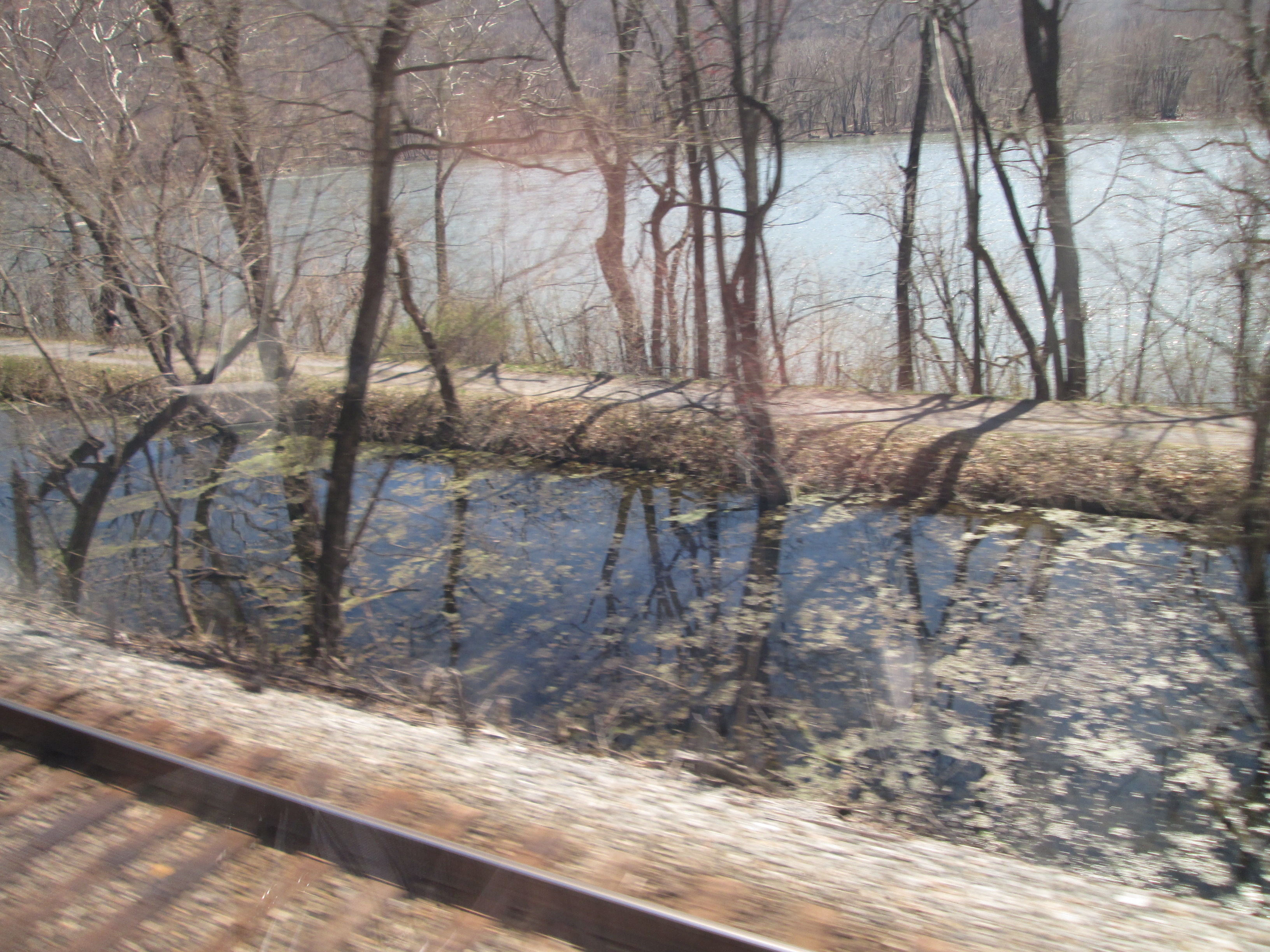
Chesapeake and Ohio Canal

Lock 31
39.3293,-77.6806

Lock 31
39.3293,-77.6806
Chesapeake and Ohio Canal

Lock 30 and Berlin Turnpike, Brunswick, MD
39.311639,-77.630276

Turntable, CSX Brunswick (MD) Yard
39.310896,-77.623784
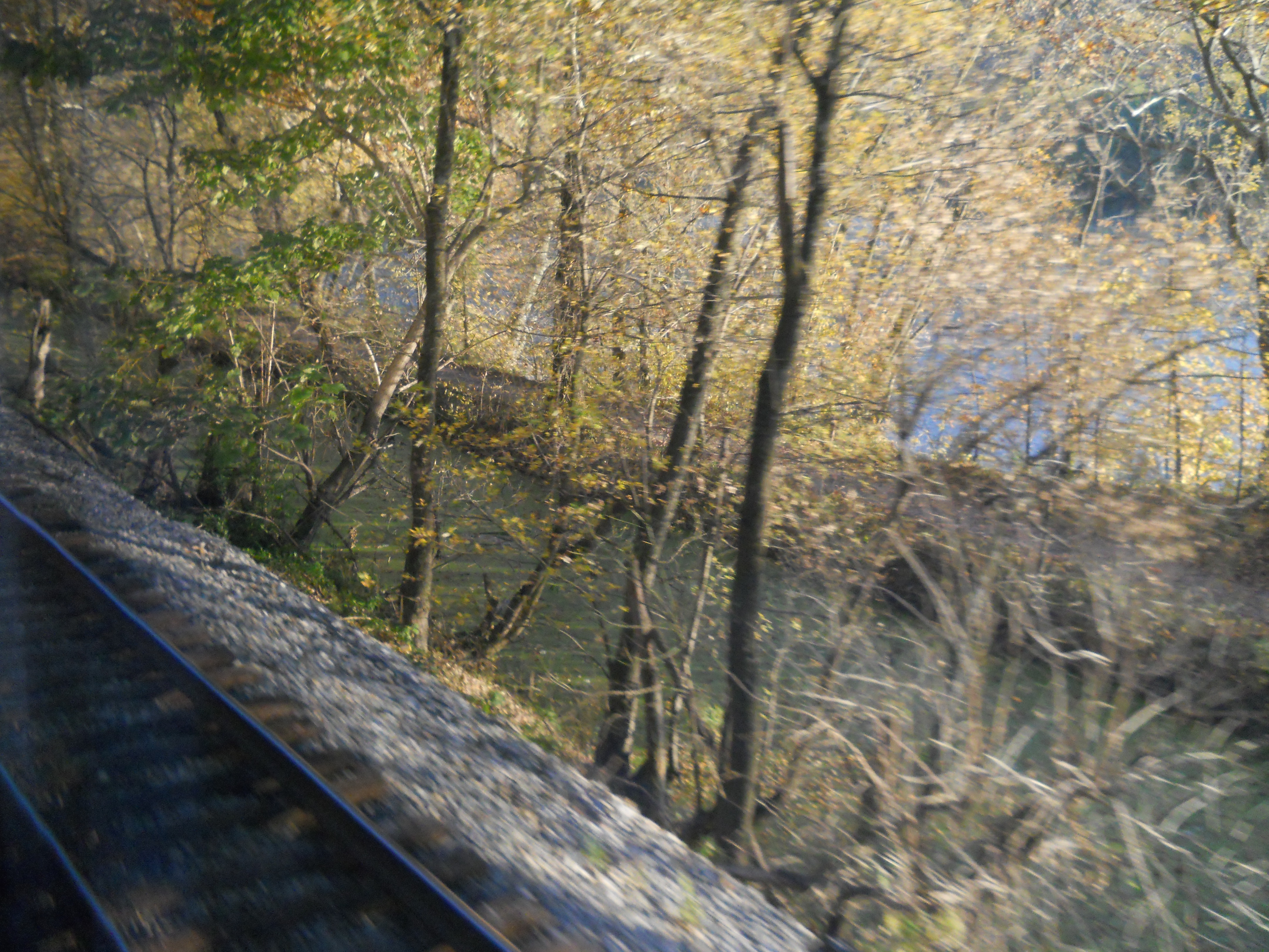
Chesapeake and Ohio Canal

Chesapeake and Ohio Canal (video) (video)

Catoctin Creek aqueduct
39.3110,-77.5685

Catoctin Creek aqueduct (video)

Lock 29
39.3064,-77.5581

Lock 29
39.3064,-77.5581

Lock 29
39.3064,-77.5581
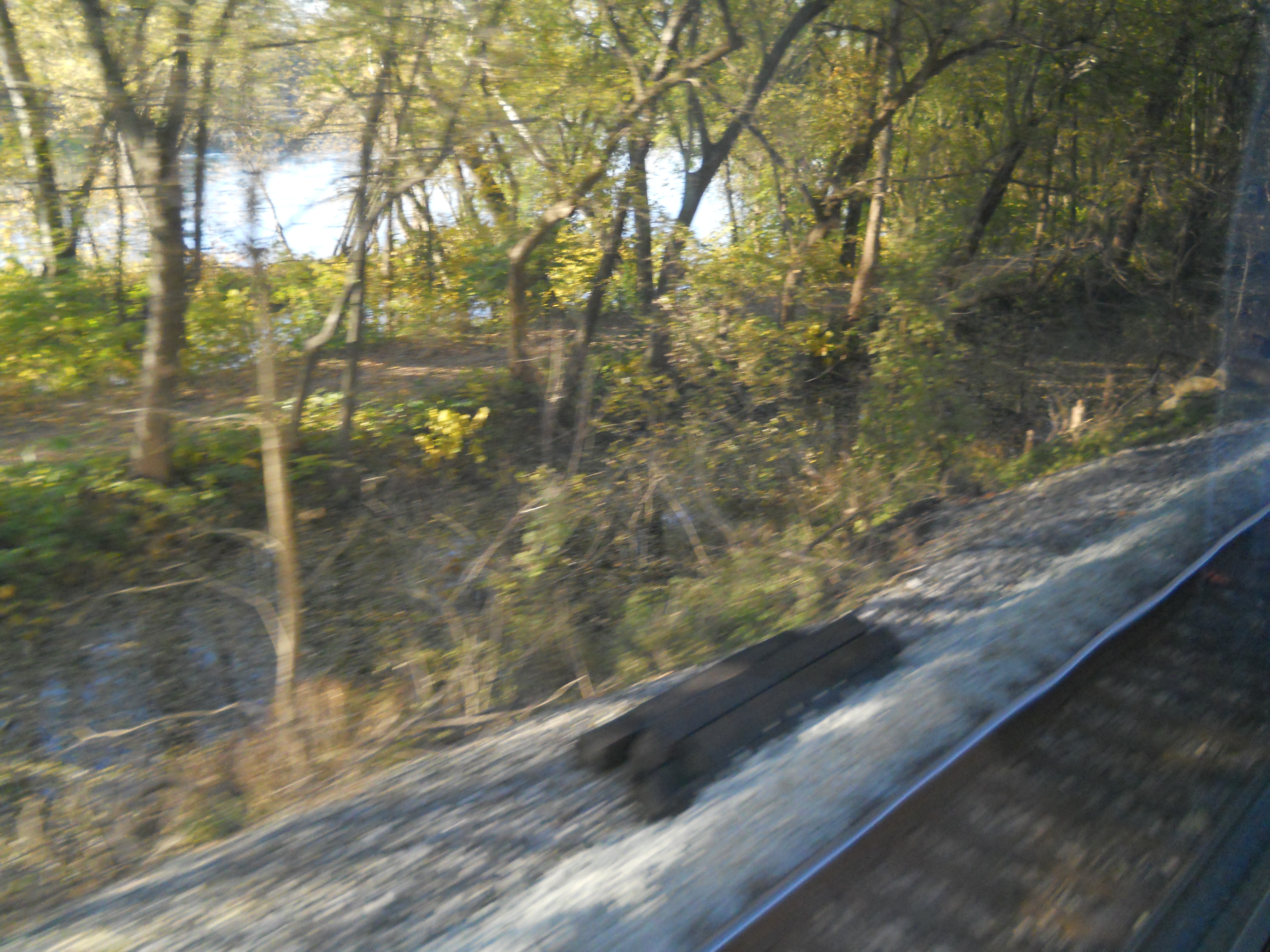
Chesapeake and Ohio Canal

Chesapeake and Ohio Canal
Chesapeake and Ohio Canal

Lock 28
39.3064,-77.5581
Bridge over canal
39.273448,-77.539879

Bridge over canal
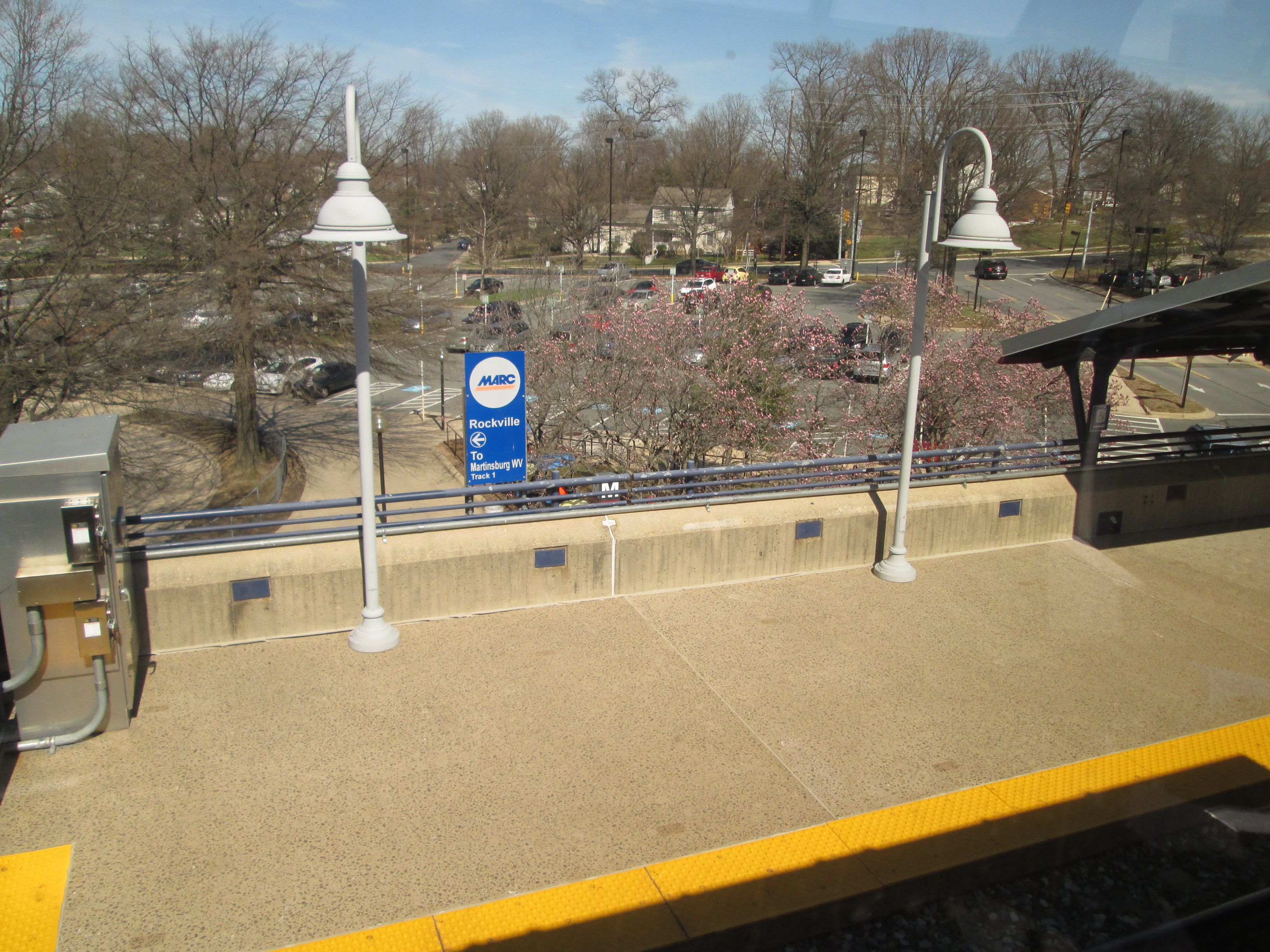
MARC Rockville Station

Tunnel