Elm Park
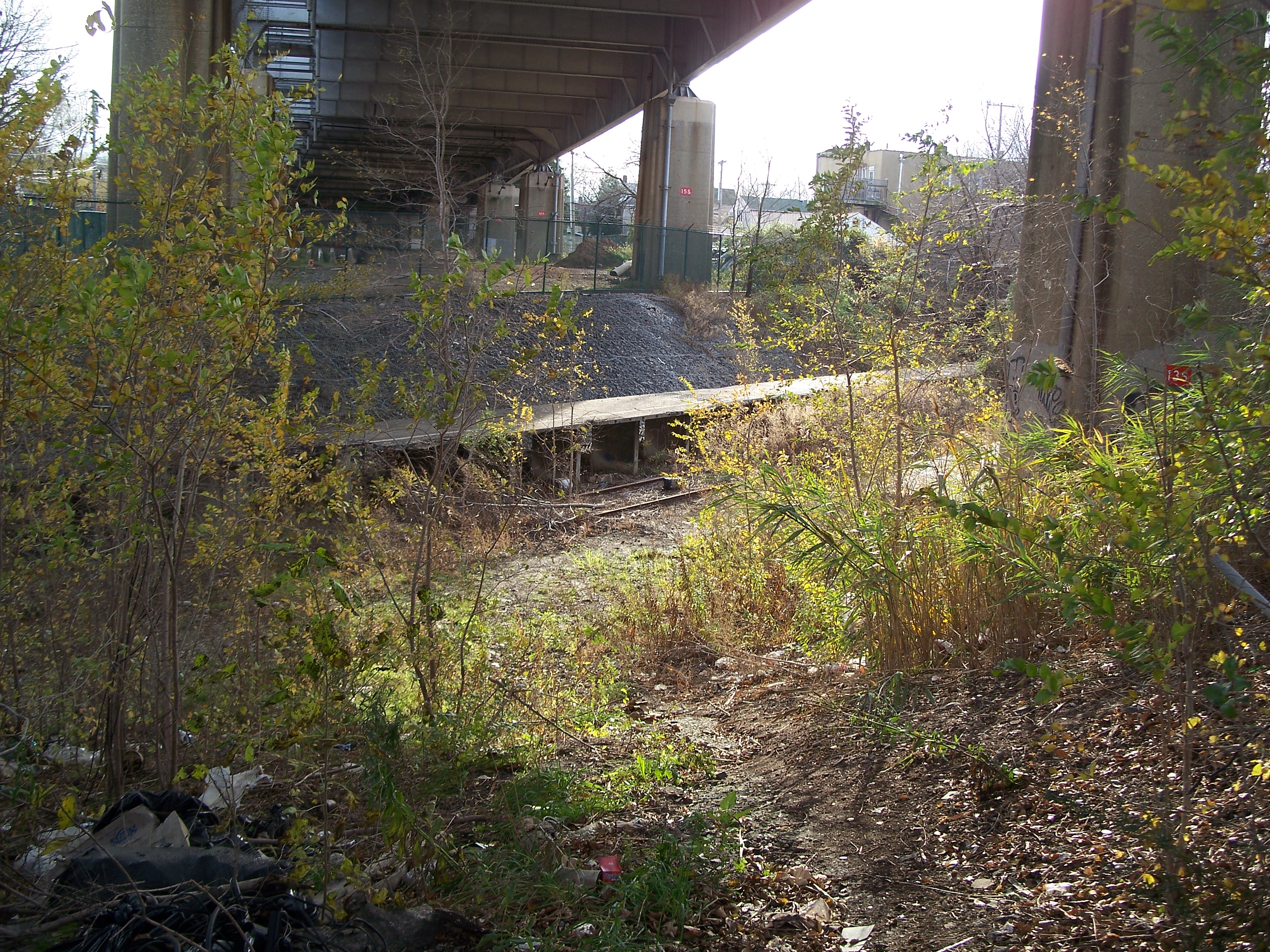
The Port Richmond viaduct ends just to the Eest of Treadwell Avenue, with the ROW proceding on an embankment to the Bayonne Bridge, where it descends into and open cut. A single track seems to be intact from here on west with some derelict vestigial station facilities and platforms, although the cut is heavily overgrown. Street bridges over the ROW have been maintained and this is likely the least expensive stretch of ROW to restore. This is also the area that will receive the greatest commuting time reductions on the line. If the Hudson-Bergen Light Rail (HBRL) line is extended into Staten Island, the Elm Park station, just under the approach to the Bayonne Bridge on Hwy. 440, would presumably be a transfer point between the two lines.
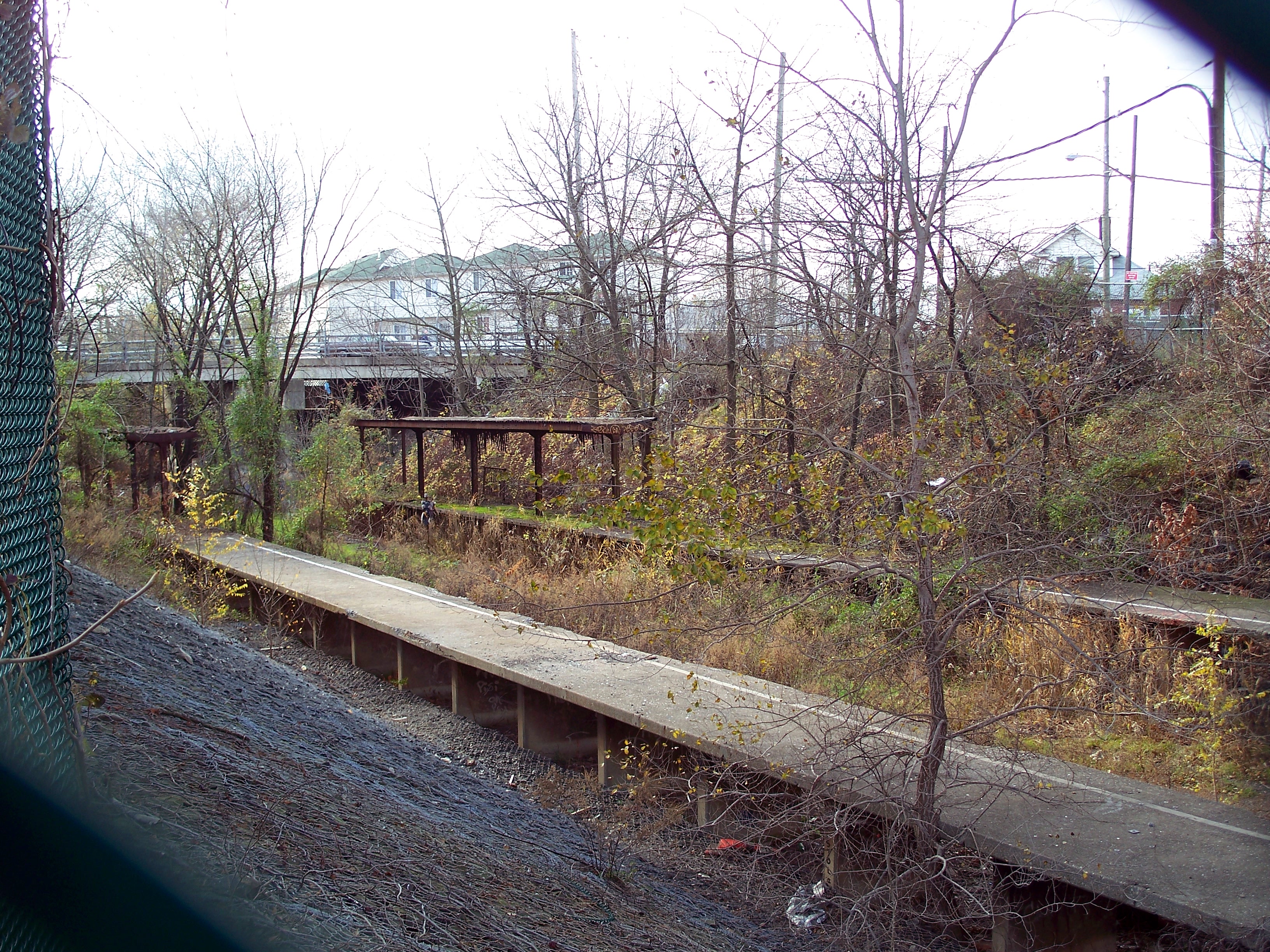
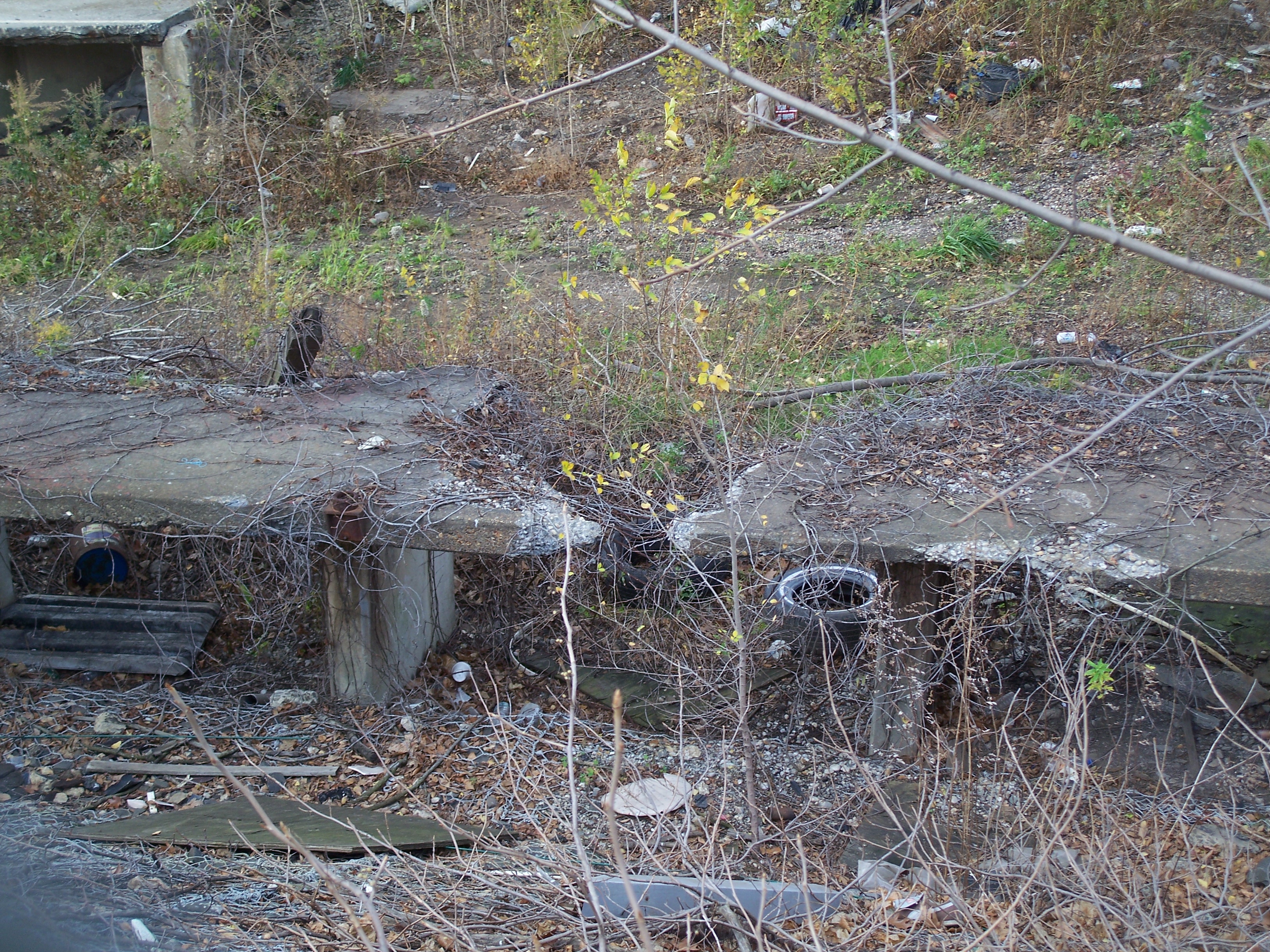
The remnants of the Elm Park station sit under the Bayonne Bridge just to the east of Morningstar Road. They are some of the better-preserved and more visible of the NSRR station ruins.
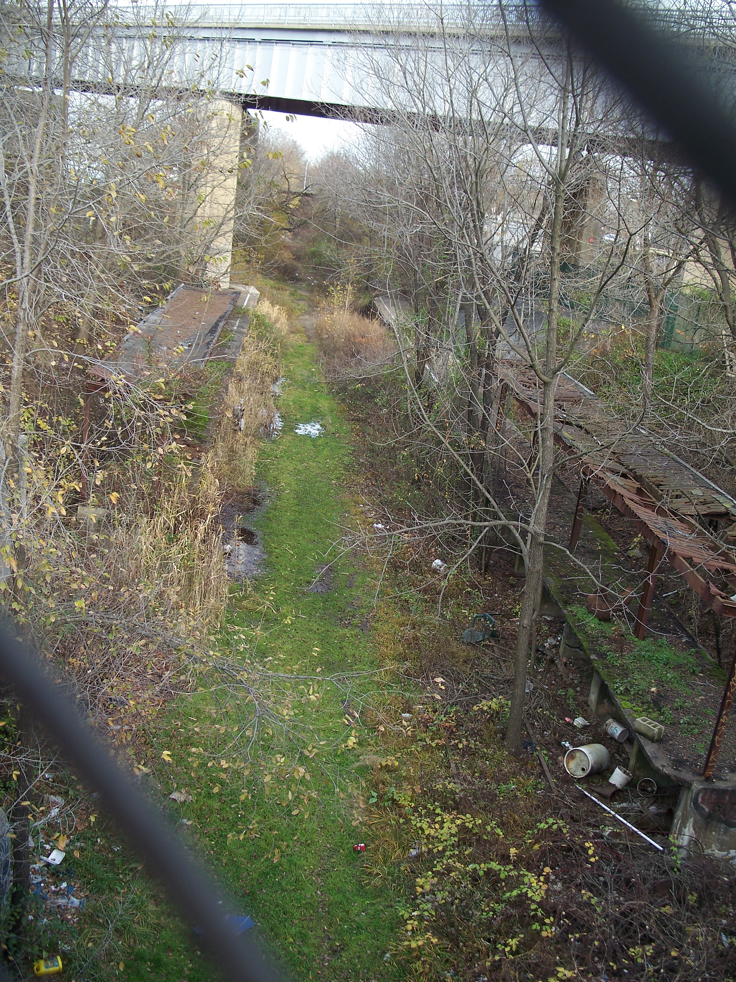
There is a pedestrian bridge over the ROW just to the east of the Elm Park station that gives a good view of the ROW in this area. The surrounding neighborhood is a mildly-decayed old working-class neighborhood and includes Port Richmond High School. Perhaps a good target for gentrification associated with a new rail line.

Eastbound platform

Platforms under the bridge
Eastbound platform
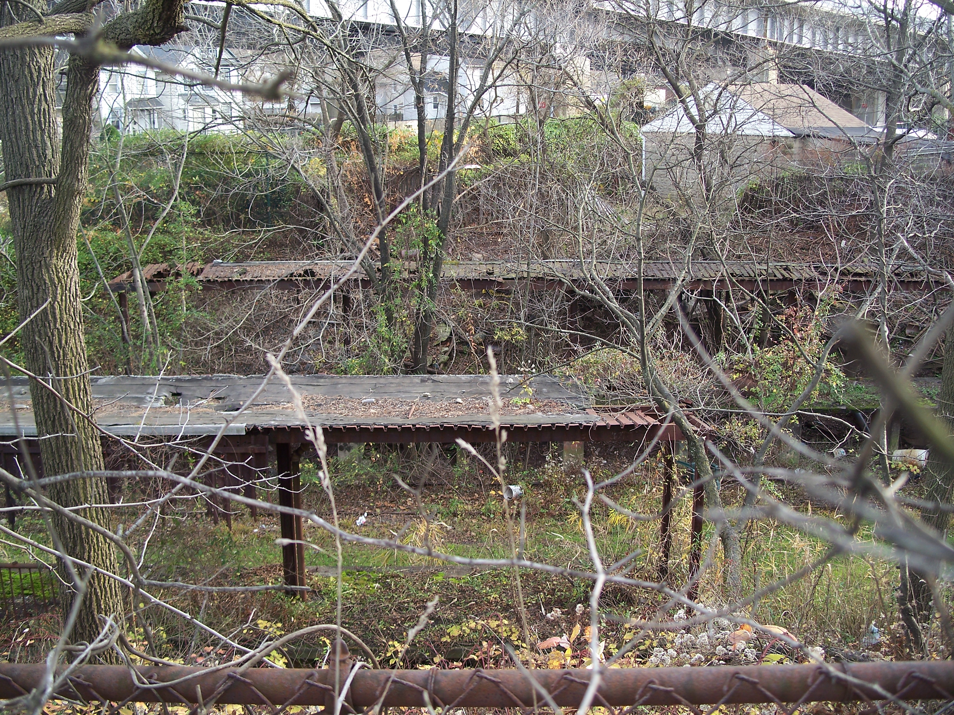
Station canopies

West end of eastbound platform

West end of eastbound platform
Elm Park station viewed from the Southeast
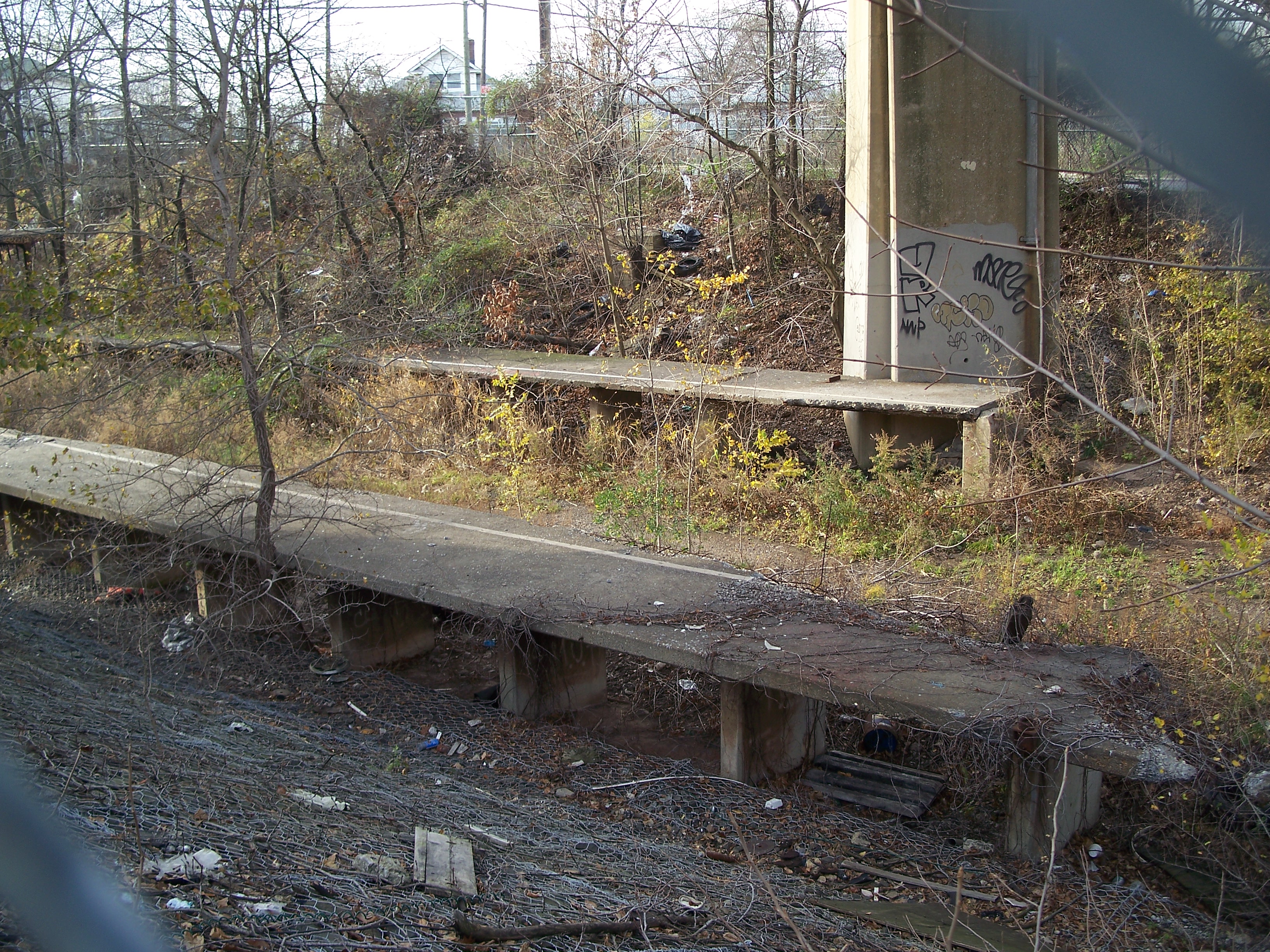
Platforms
Breech in eastbound platform

East end of eastbound platform
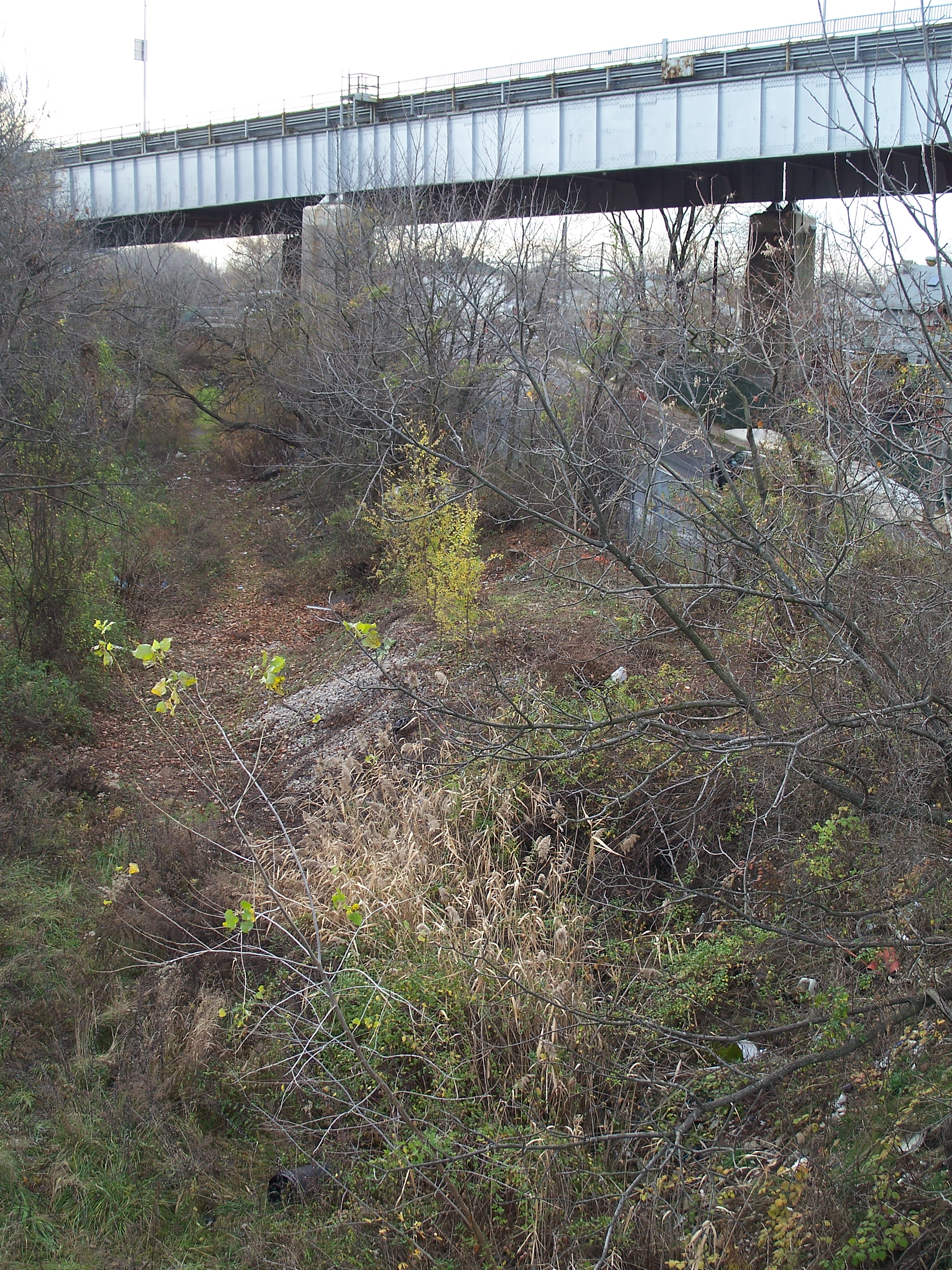
ROW headed east under the Bayonne Bridge

Westbound platform

Watery ROW headed west from Elm Park

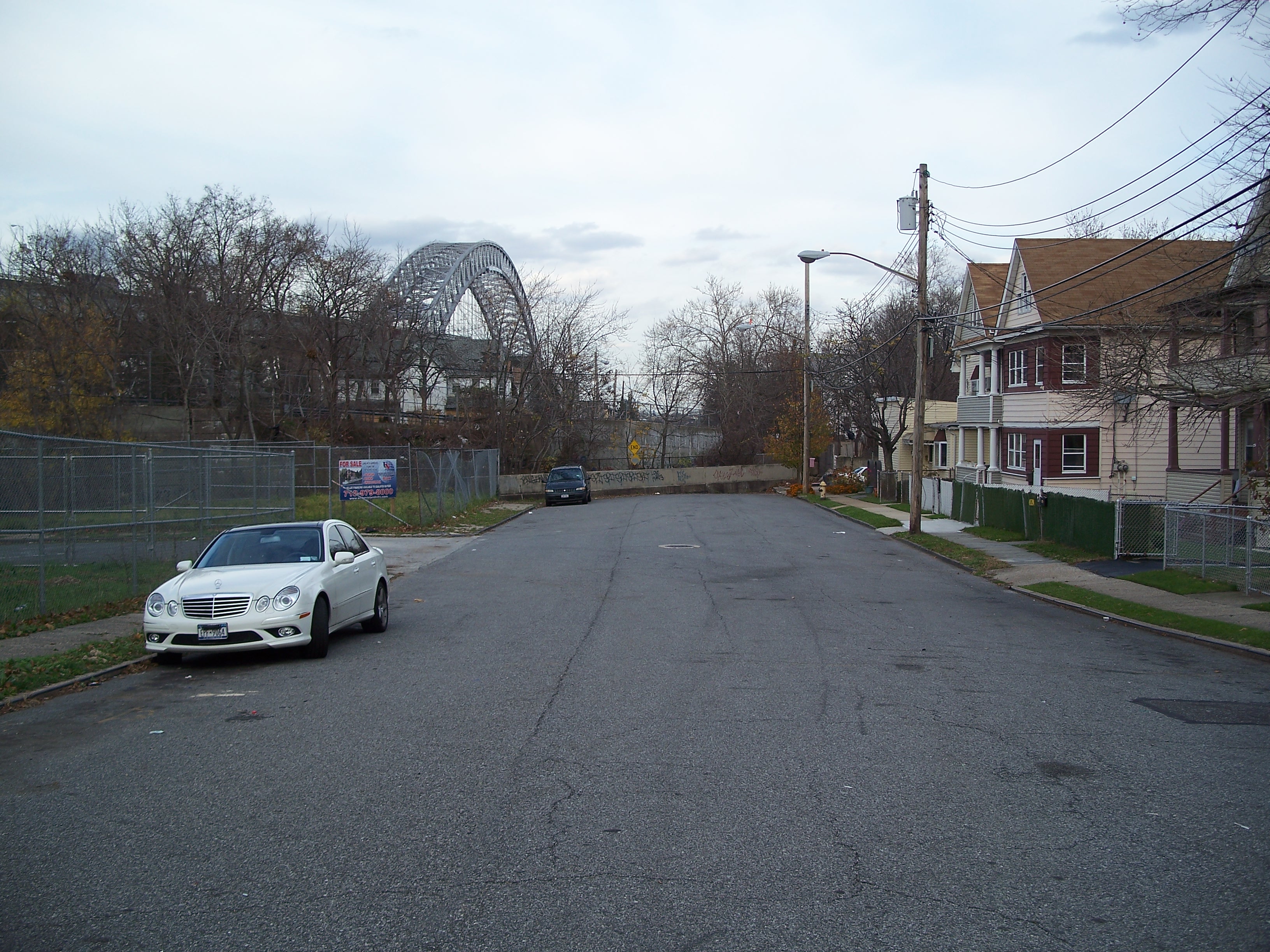
Densely-packed houses on Innis Street

Innis Street leading to pedestrian bridge

Pedestrian bridge

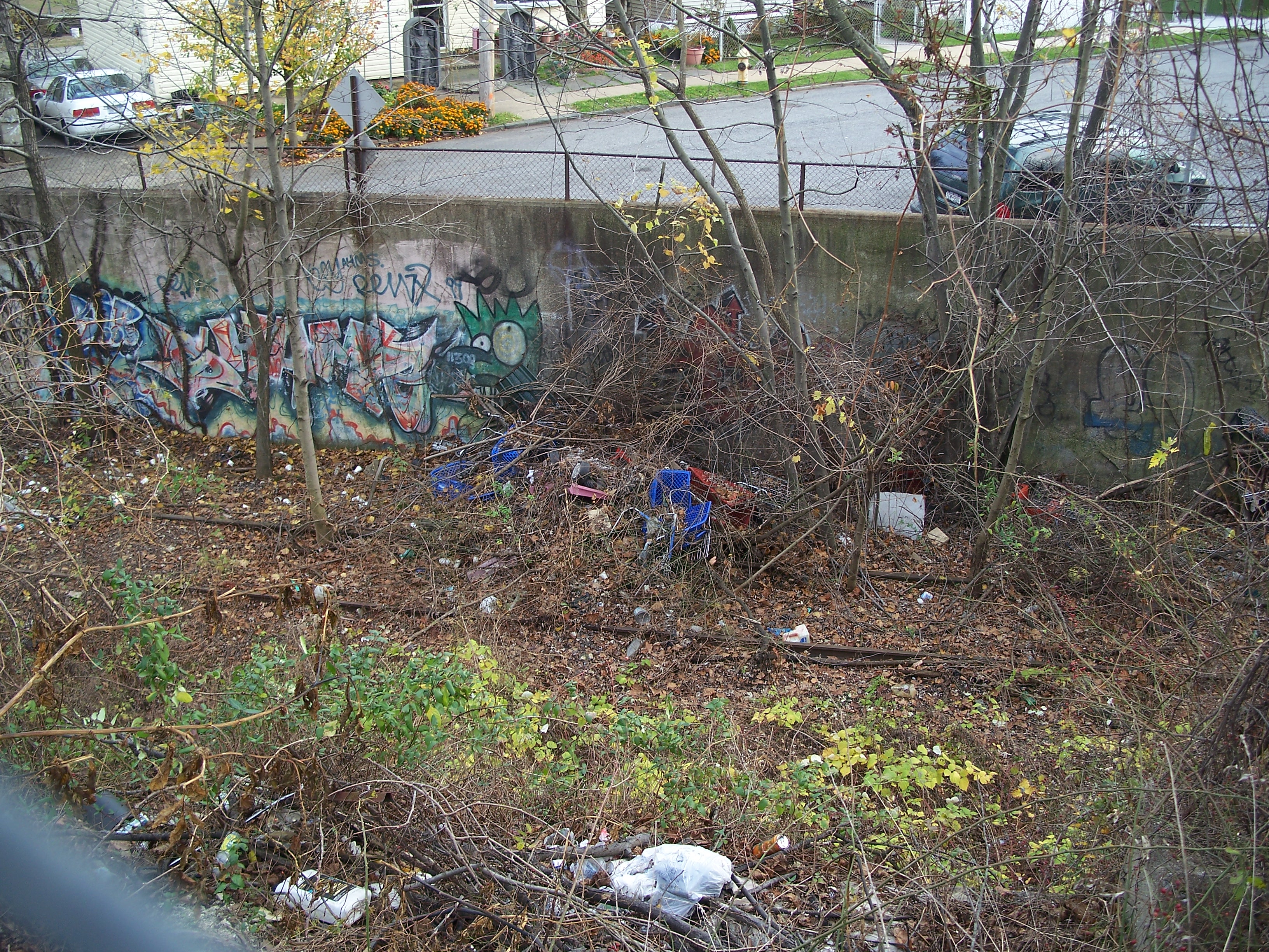
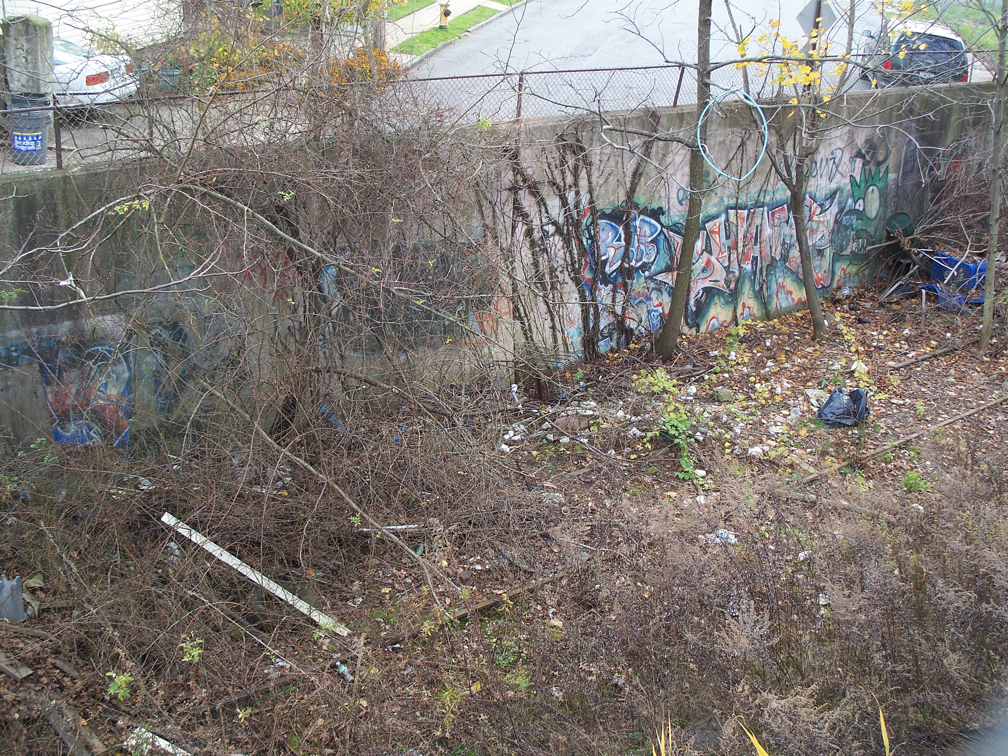
ROW under the pedestrian bridge

ROW looking west to Elm Park station
ROW looking west to Elm Park station
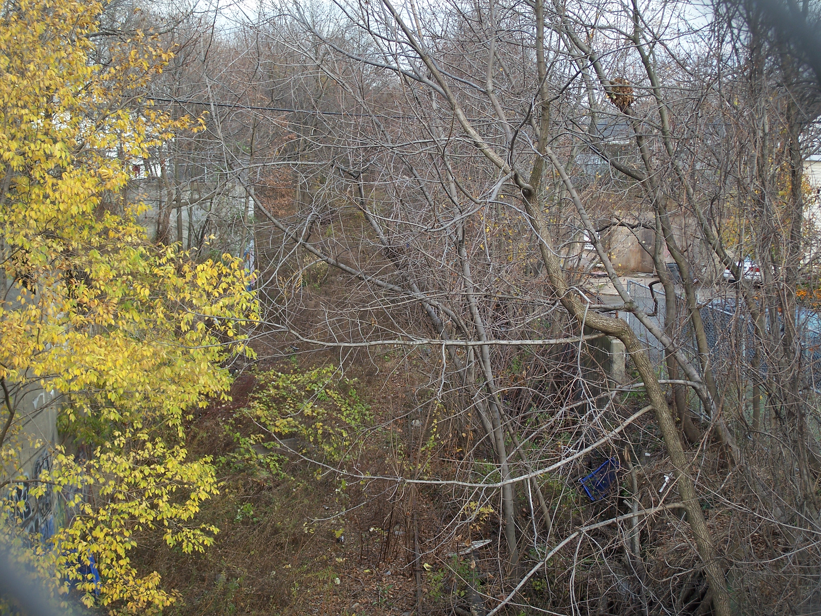
Overgrown ROW east of pedestrian bridge

Overgrown retaining wall on south side of ROW
Northbound John Street dead end into ROW
Overgrown eastbound tracks passing John Street
Retaining wall

Discarded shower enclosure?

Boarded-up houses on John Street north of ROW

Old and new residences on Morningstar Road

Lasalle Street headed north to the east of the Bridge