Bayonne Bridge
Opened: November 15, 1931
Architect: Othmar Amman
The Bayonne Bridge features a 1,675-foot main span supported by a hyperbolic steel arch. The bridge was designed by Othmar Amman based on the design that his mentor, Gustav Lindenthal, used for the Hell Gate railroad bridge between Ward's Island and Astoria, Queens. Groundbreaking occurred on September 1, 1928 and the bridge opened to traffic on November 15, 1931. Although cantilever and suspension designs were considered, the arch design was chosen because it could accomodate proposed rail lines on the outer edges of the roadway. The rail lines never materialized as envisioned, although as of this writing in 2009 there are propoosals to bring the Hudson-Bergen light rail line over the bridge into Staten Island. There are also considerations of replacing or modifying the bridge to accomodate newer ships that exceed the 150 foot clearance above mean high water (NYCRoads 2009).
Mariner's Harbor sits to the west of the Bayonne Bridge and, as the name implies, was home to considerible industry that supported the maritime industry. The coast was home to shipyards, steel mills and machine shops and saw substantial activity in support of WW-I and WW-II. Bethlehem Steel bought a shipyard here in 1938 and employed 12,000 during its peak in WW-II, launching destroyers and making propellers for other types of ships. Bethlehem Steel closed the shipyard in 1960 and the propeller plant in 1971. I'm not sure exactly what was where, but these are some of the buildings on the coastline to the west of the Bayonne Bridge, most seeming to still be active with light industrial activity. (GlobalSecurity.org 2009, DestroyerHistory.org 2009)
The ROW proceeds west from the Bayonne Bridge in a shallow trench, crossed by a number of street bridges. The surrounding neighborhoods are fairly dense mixed industrial and sturdy old residential.
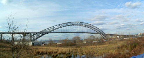
Bayonne Bridge (viewed from the southeast)

Where parade floats come from
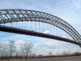
Bayonne Bridge center span
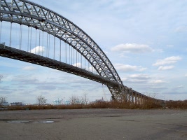
North approach
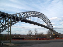
Center span
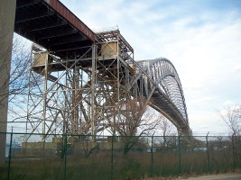
View from southeast

Pier spalling
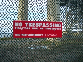
No tresspassing
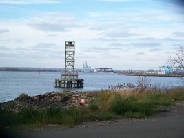
View across Newark Bay

South approach piers
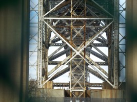
Underneath the arch viewed from the south
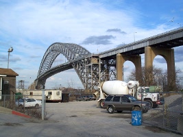
View from the southwest

View from the southwest
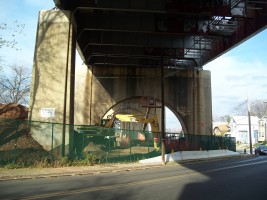
Under the south approach looking north from Lasalle Street
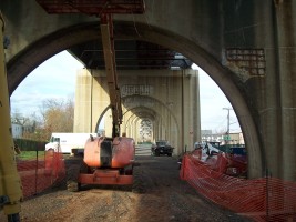
South approach looking north from Lasalle Street

South approach looking south from Lasalle Street

Looking north under the South approach from Innis Street
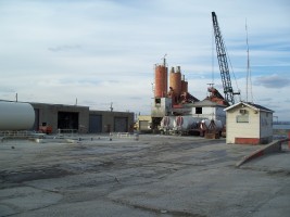
Tanks to the west of the bridge
Space for rent
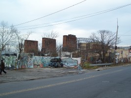
Former Bethlehem Steel propeller factory?
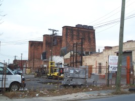
2589 Richmond Terrace
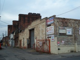
2589 Richmond Terrace
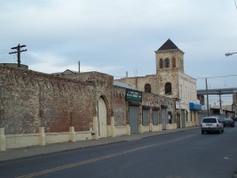
2589 Richmond Terrace
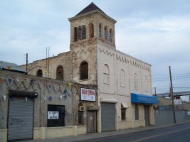
Tower - 2589 Richmond Terrace
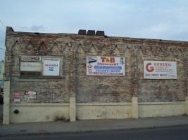
2589 Richmond Terrace

Sewer overflow - Richmond Terrace at Wright
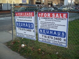
For Lease / Sale - Richmond Terrace at Housman
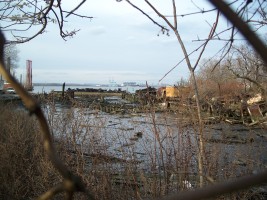
Dock remnant - Richmond Terrace at Wright

Guard dog?!

Great Lakes Dredge and Dock Co.
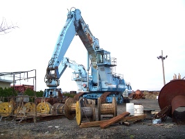
Great Lakes Dredge and Dock Co.
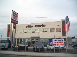
VIlla Marin GM dealership
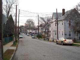
Lasalle at Winant

Lasalle at Winant
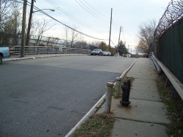
Granite Ave bridge over ROW
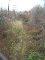
Looking east down ROW from Granite Ave
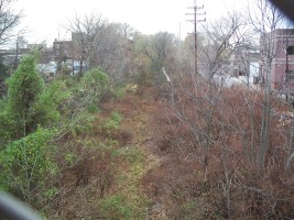
Looking west down ROW from Granite Ave

Industrial building on Walker Street
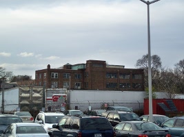
Back of industrial building on Lake Street
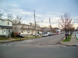
Contemporary row houses on Granite Ave north of Walker
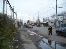
Light industrial street on Granite Ave south of Walker
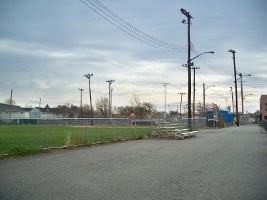
West Shore Little League ballpark
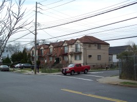
Contemporary row houses - SW corner of Lake at Walker

Warehouse - NE corner of Lake at Walker
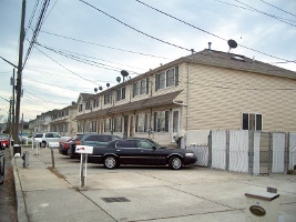
Contemporary townhouses - Lake Street south of Walker
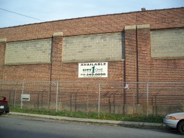
Available warehouse - Lake Street

Art Moderne - 141 Lake
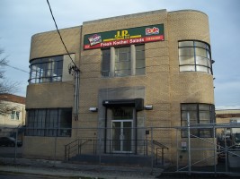
141 Lake

125 Lake - light industry