Highway 19 - Round Spring Valley Bridge
Shannon County, MO
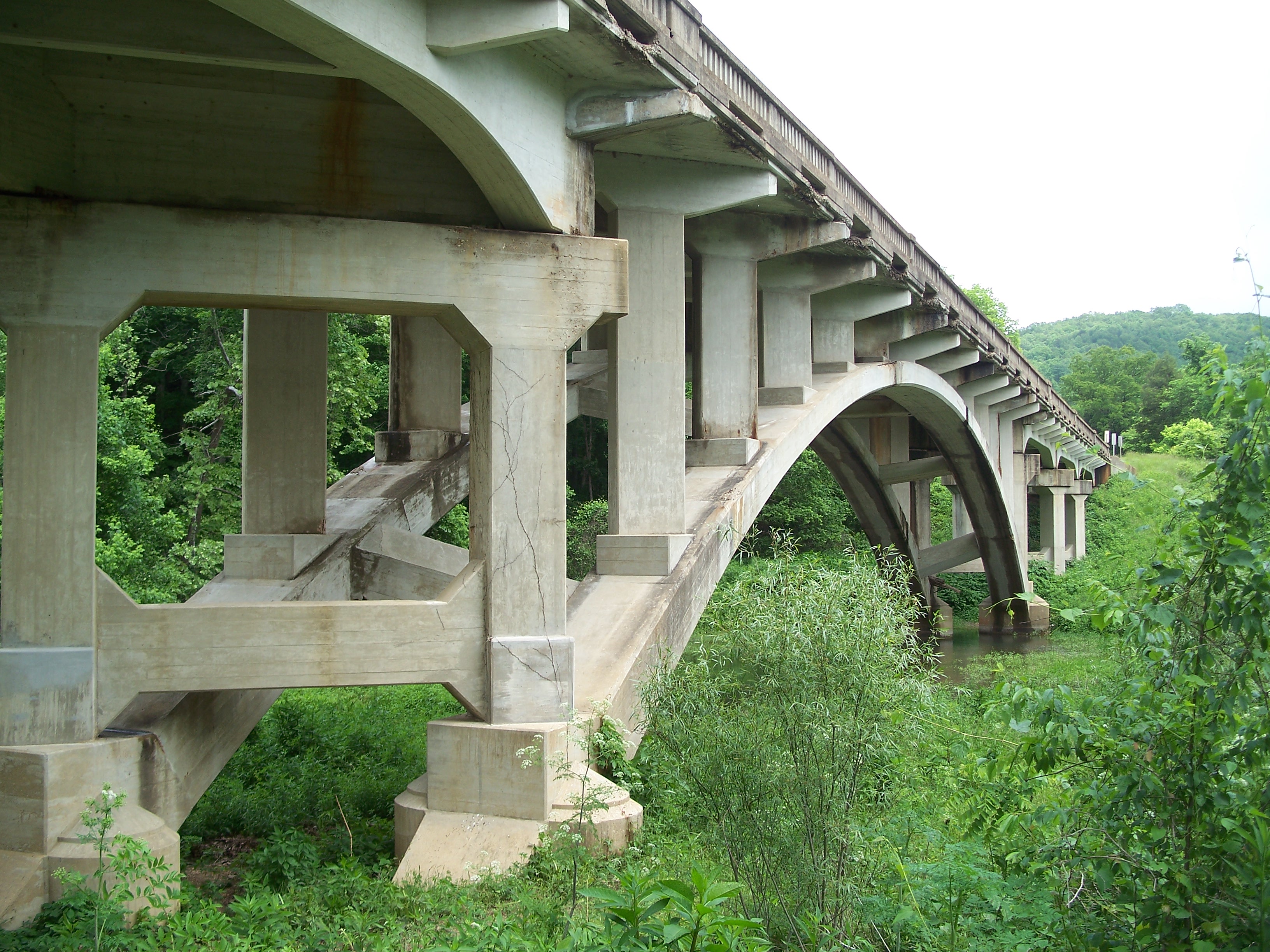
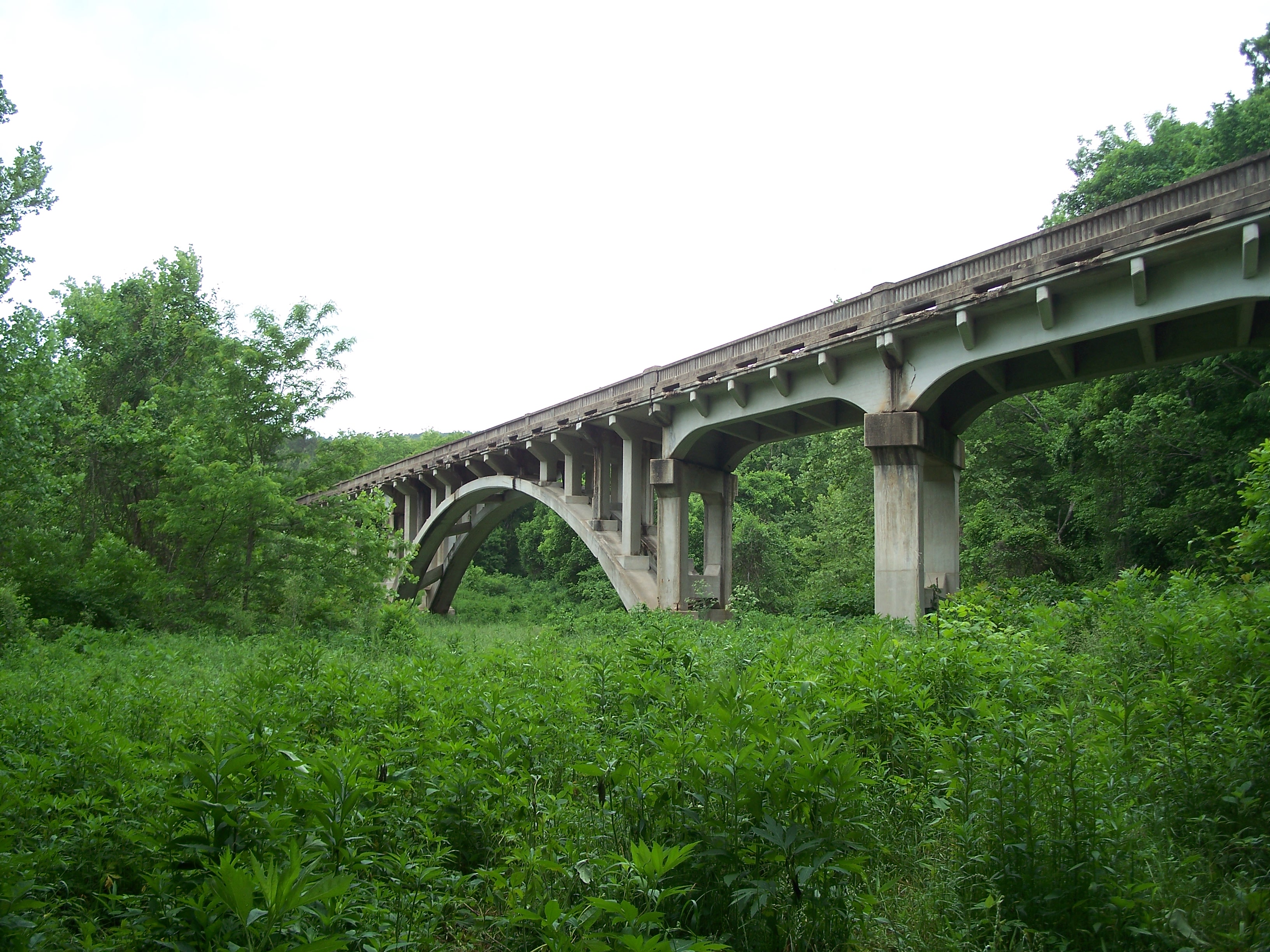
The southernmost of the trio of bridges crosses a valley where Round Spring feeds into the Current River. The bridge is a two-rib, open spandrel concrete arch with one main 150-foot span with concrete deck girder approach spans on both ends for a total length of 523 feet. The bridge was built in 1930 for $70,152.85 and bears structure number J 420.
Round Spring Bridge arch viewed from the south

Guardrail wear
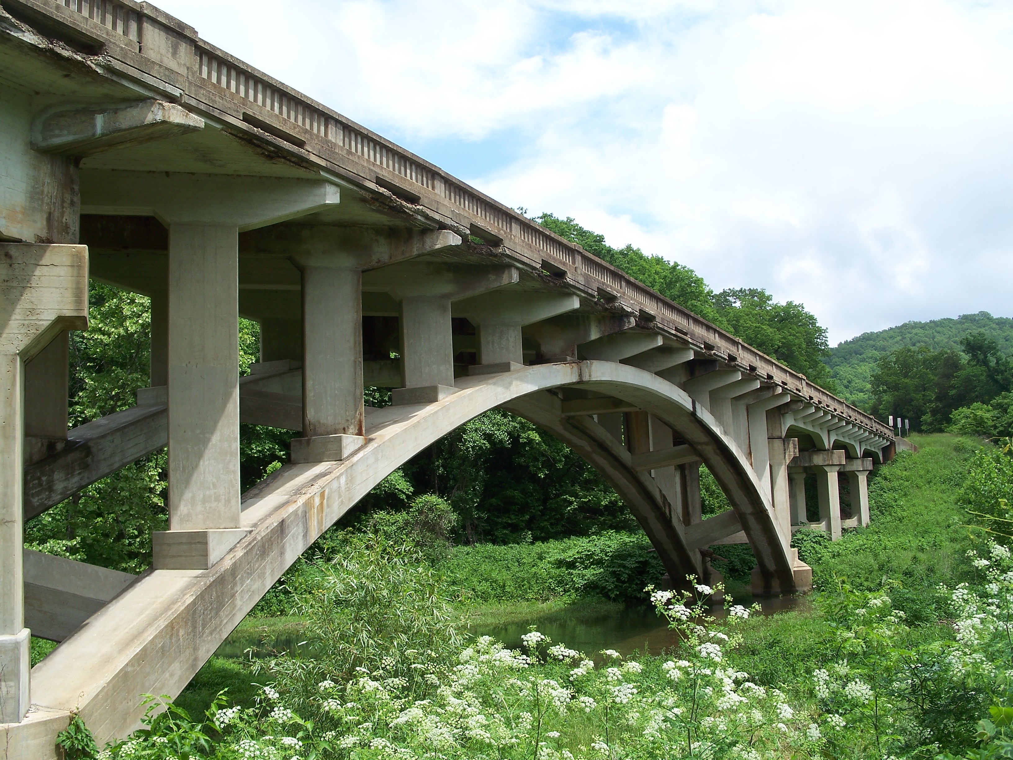
Round Spring Bridge arch viewed from the southeast
Round Spring Bridge arch viewed from the south

Deck girder
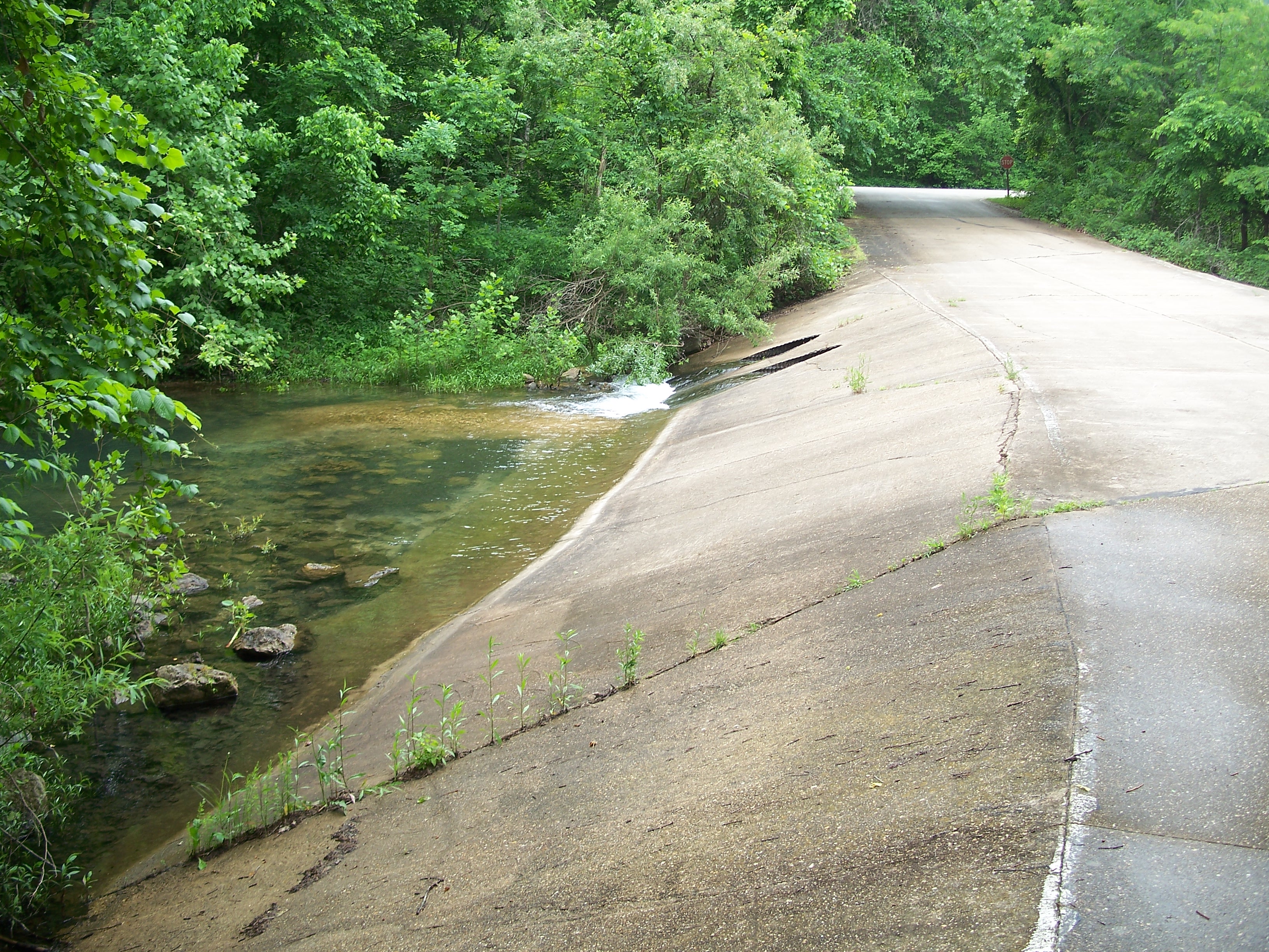
Spring water flow roadway under bridge

Water flow

Spring water
Arch viewed from the northeast

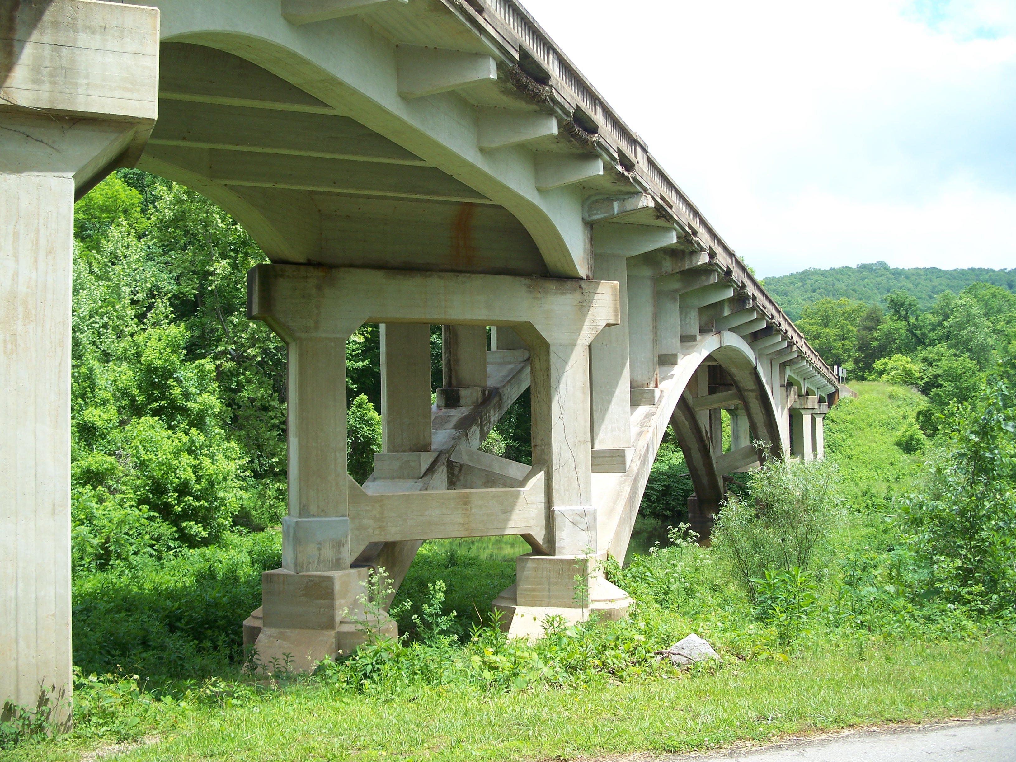
Roadway passing under south deck
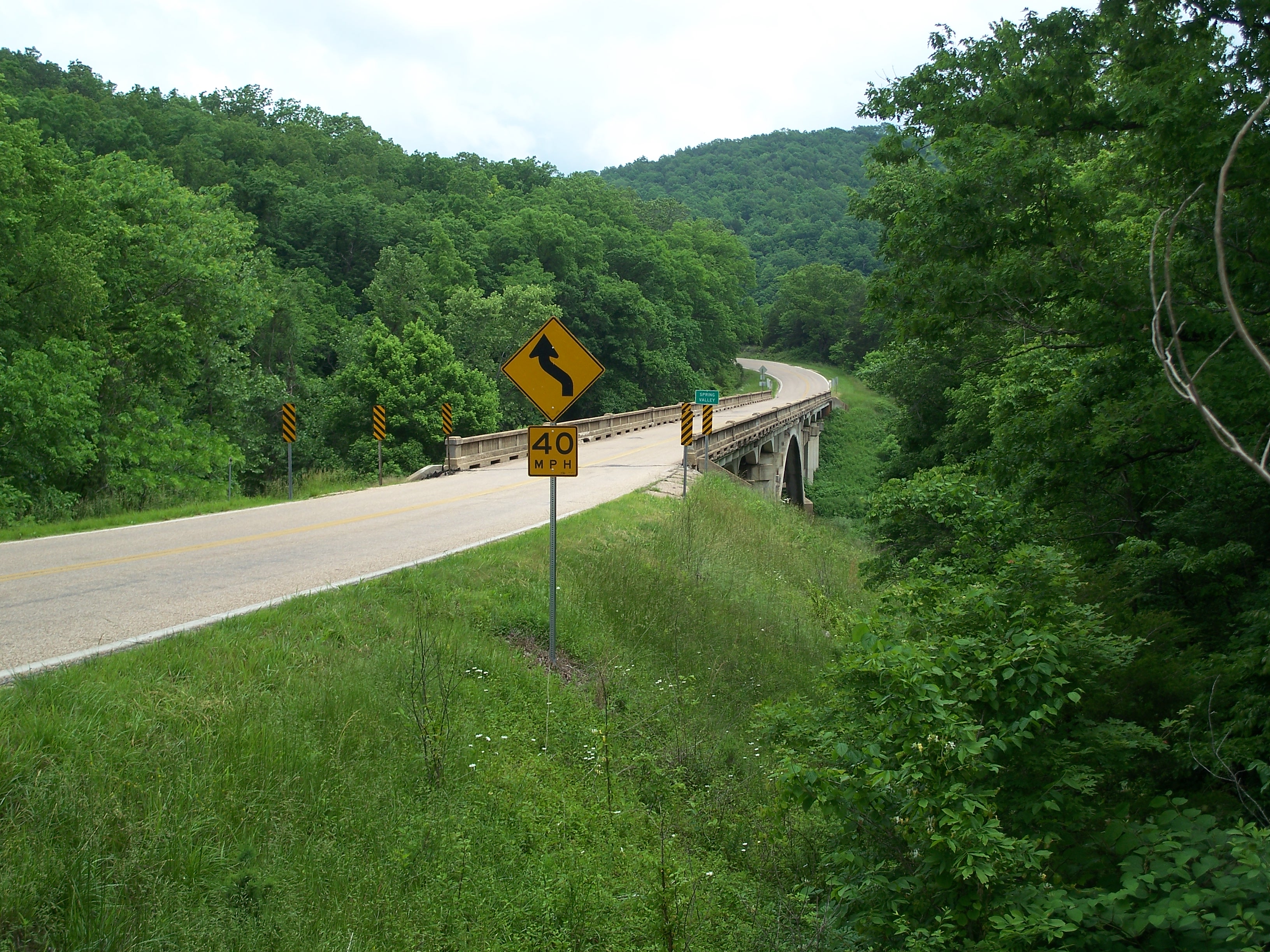
Round Spring Bridge deck viewed from southeast

Deck viewed from the south

Deck viewed from the south
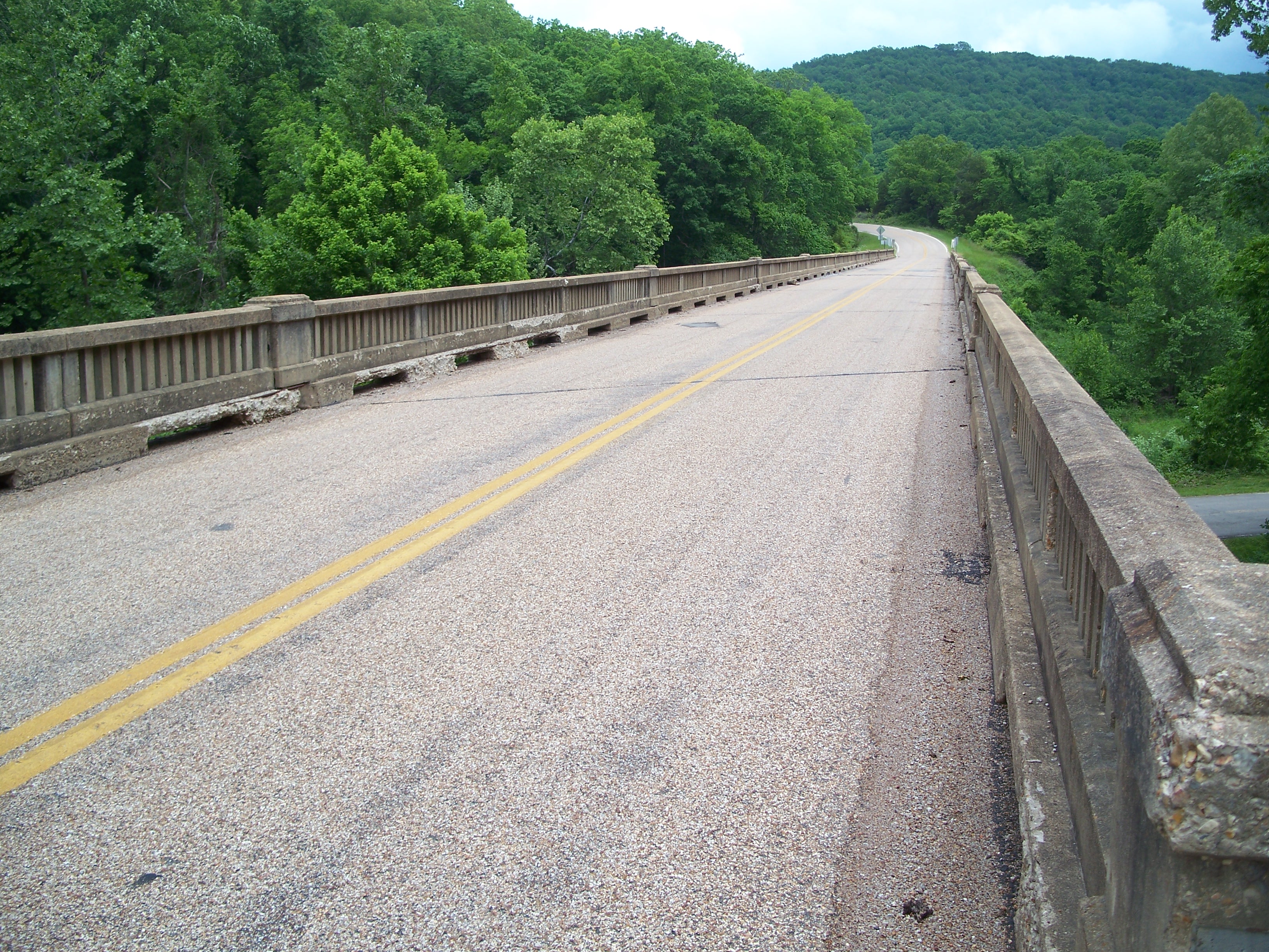
Deck

Nameplate
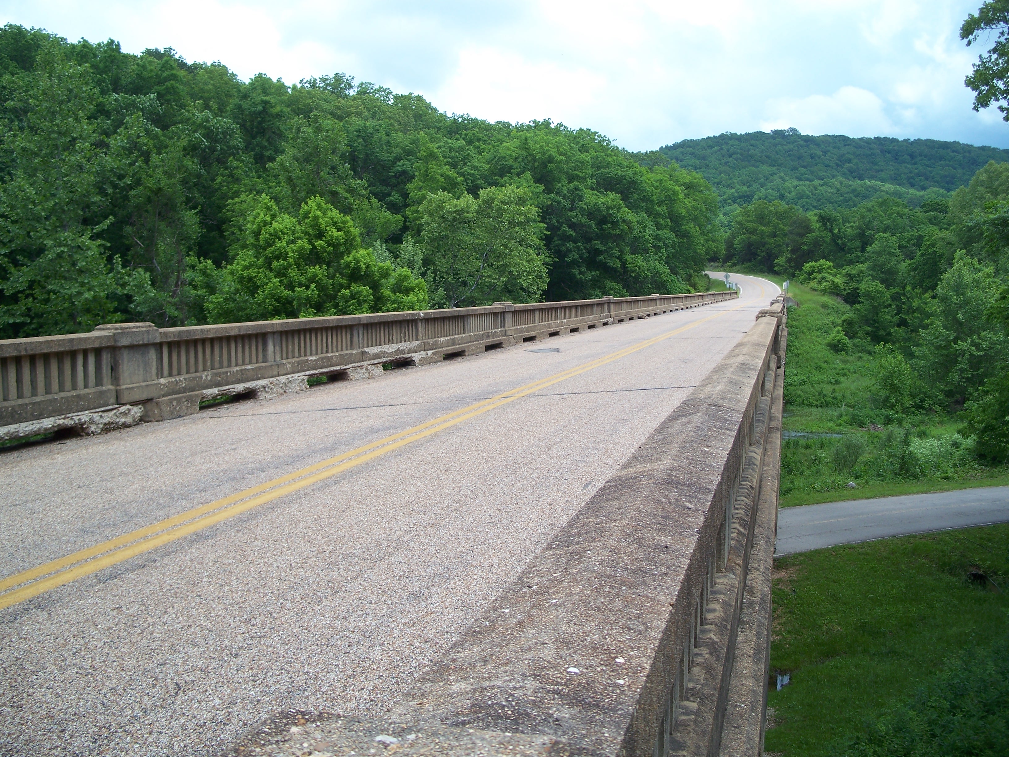
Deck and guardrails
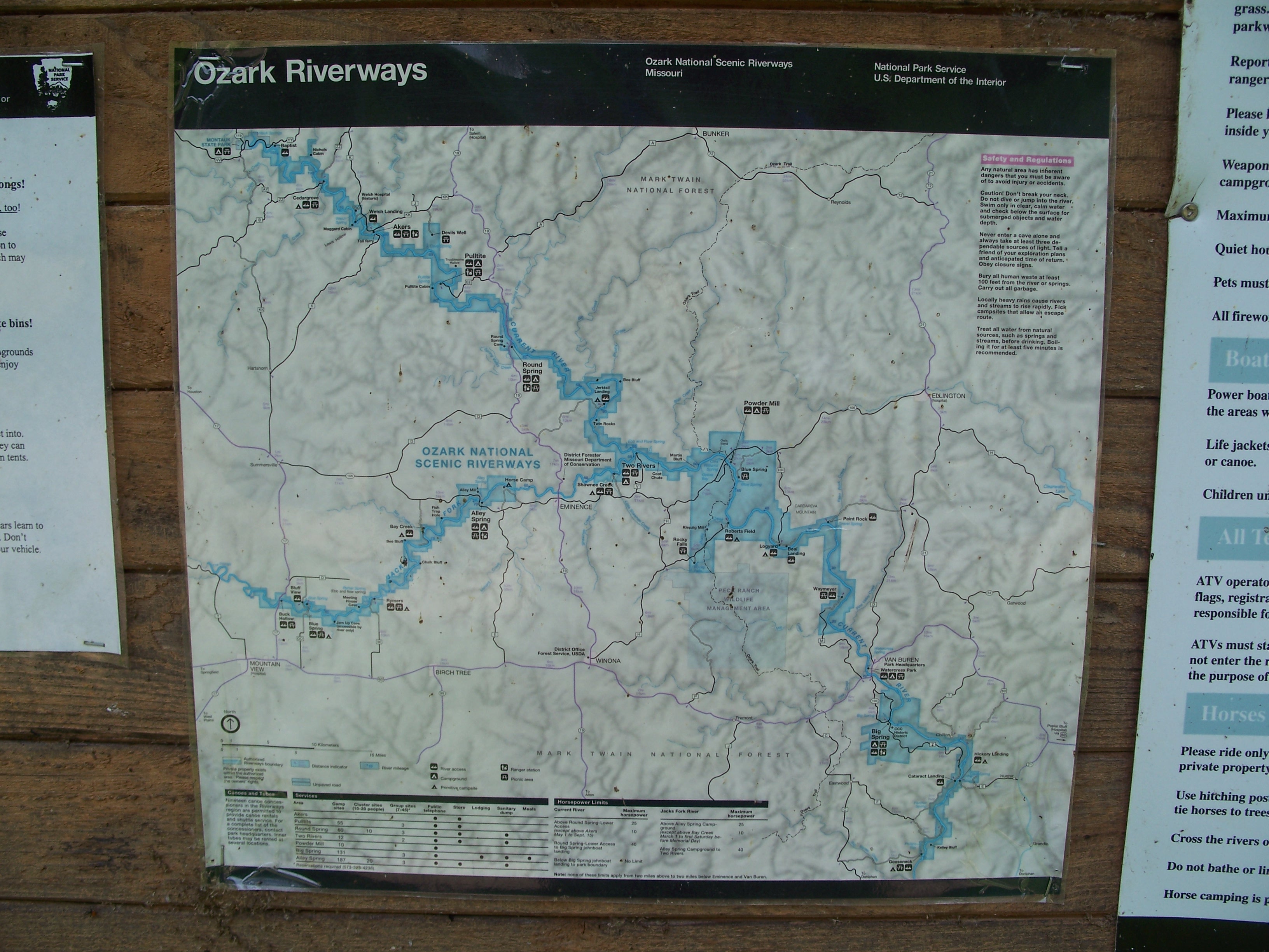
Ozark Riverways map

Deck viewed from south