Ridgewood Reservoir
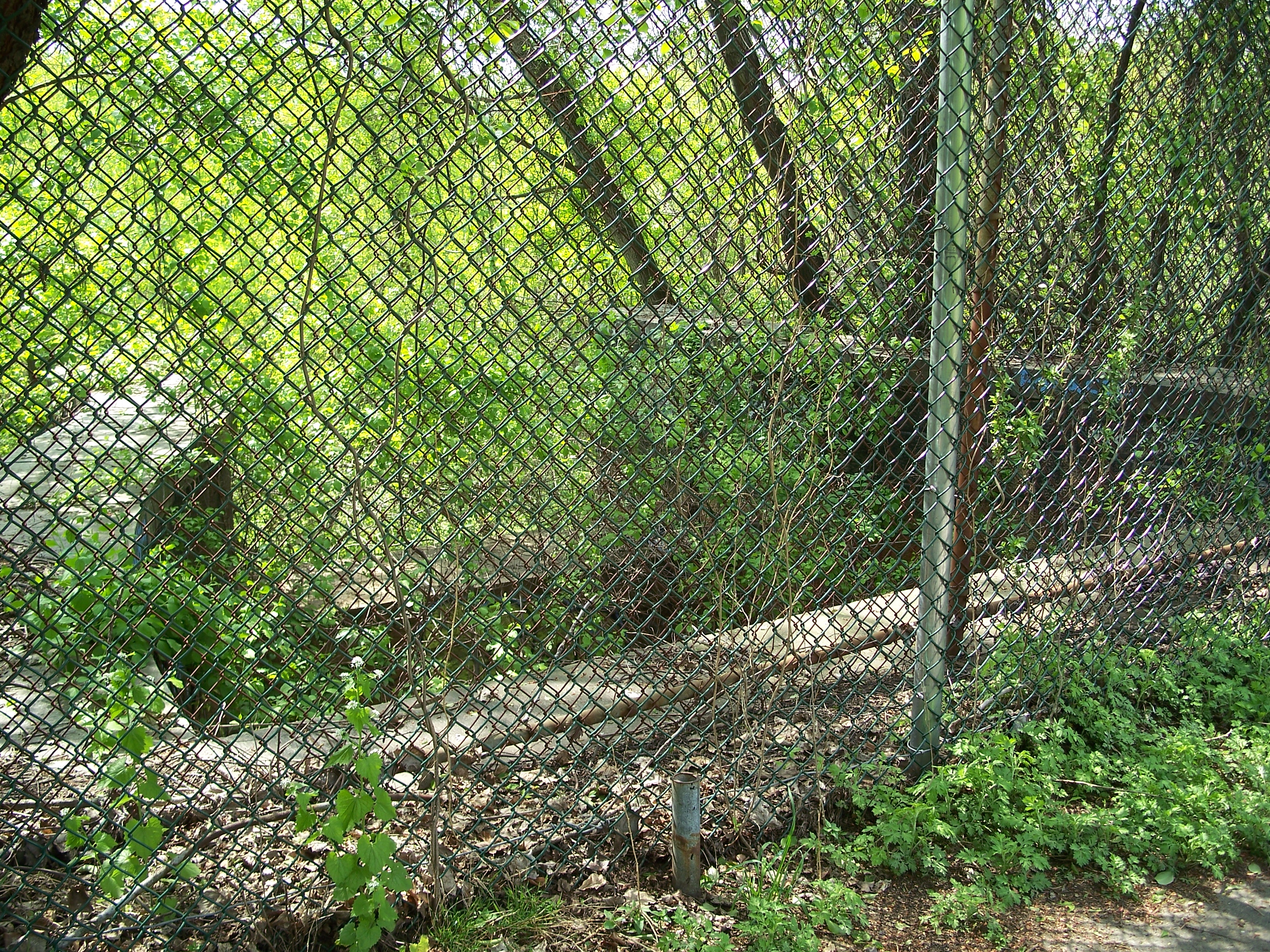
Ridgewood Reservoir is actually a bit difficult to photograph legally. While there are numerous (and obviously well-used) breaches in the fence, concerns for personal safety (and legal status) trump my interest in getting the perfect picture. Pictures have to be taken over or through a 10-foot chain link fence and the view is often obscured by vegetation or the older, delapidated chain-link fence that was left in place when the new fence was erected.
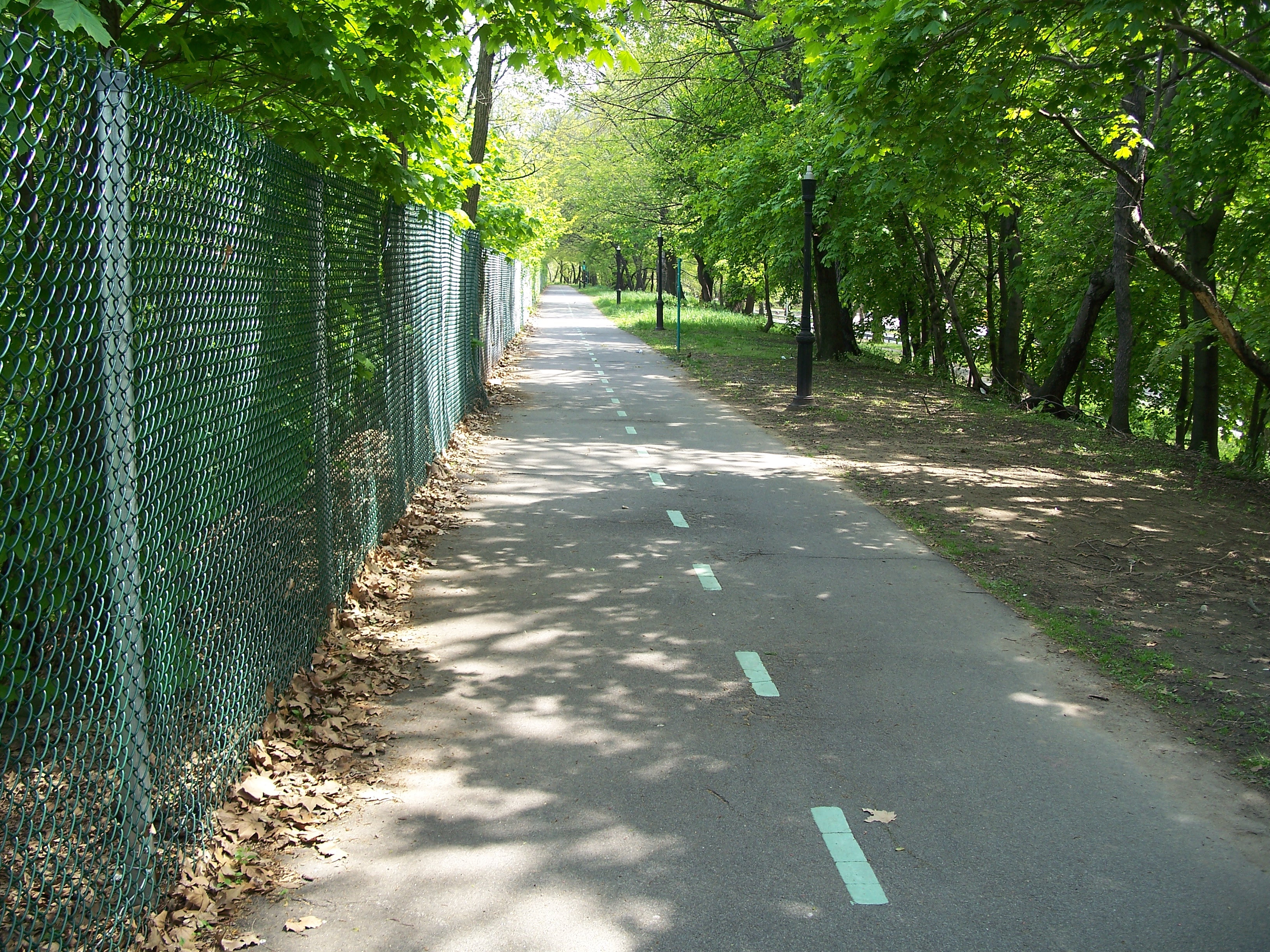
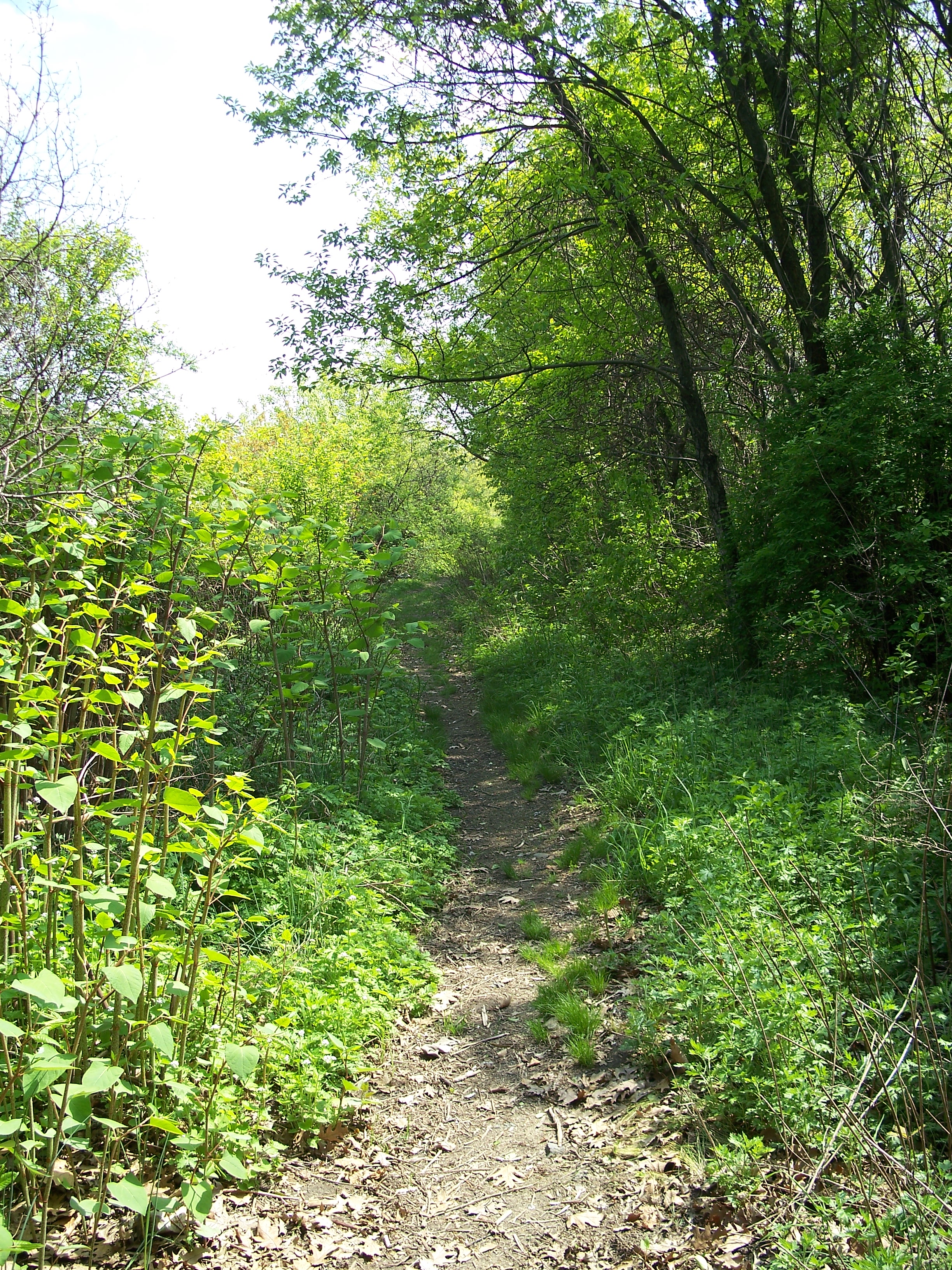
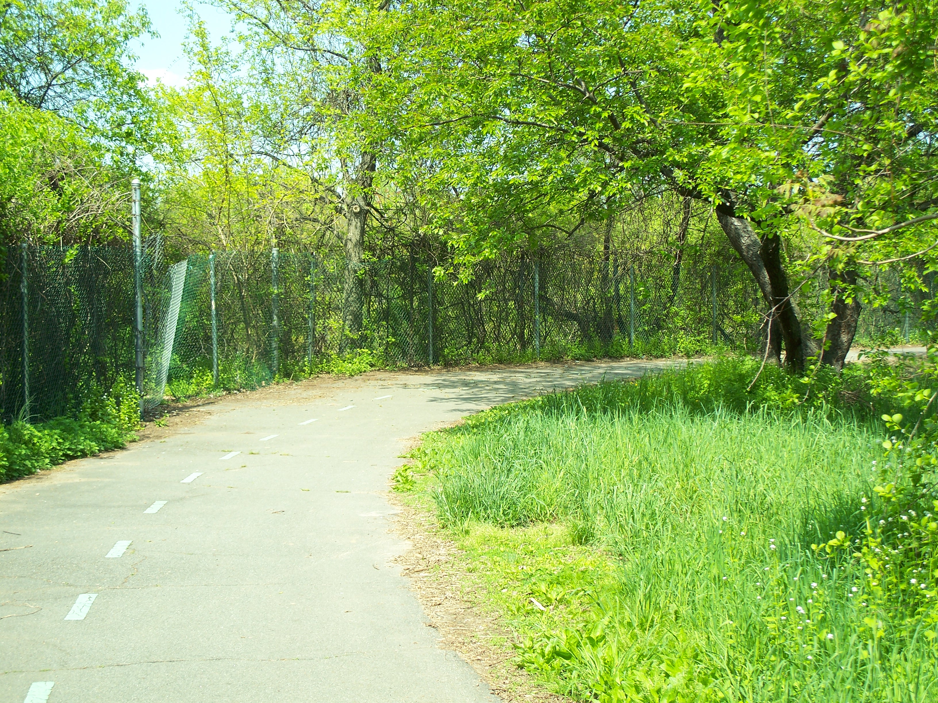
Bike path on west edge of west basin

Bike path on northern edge of west basin
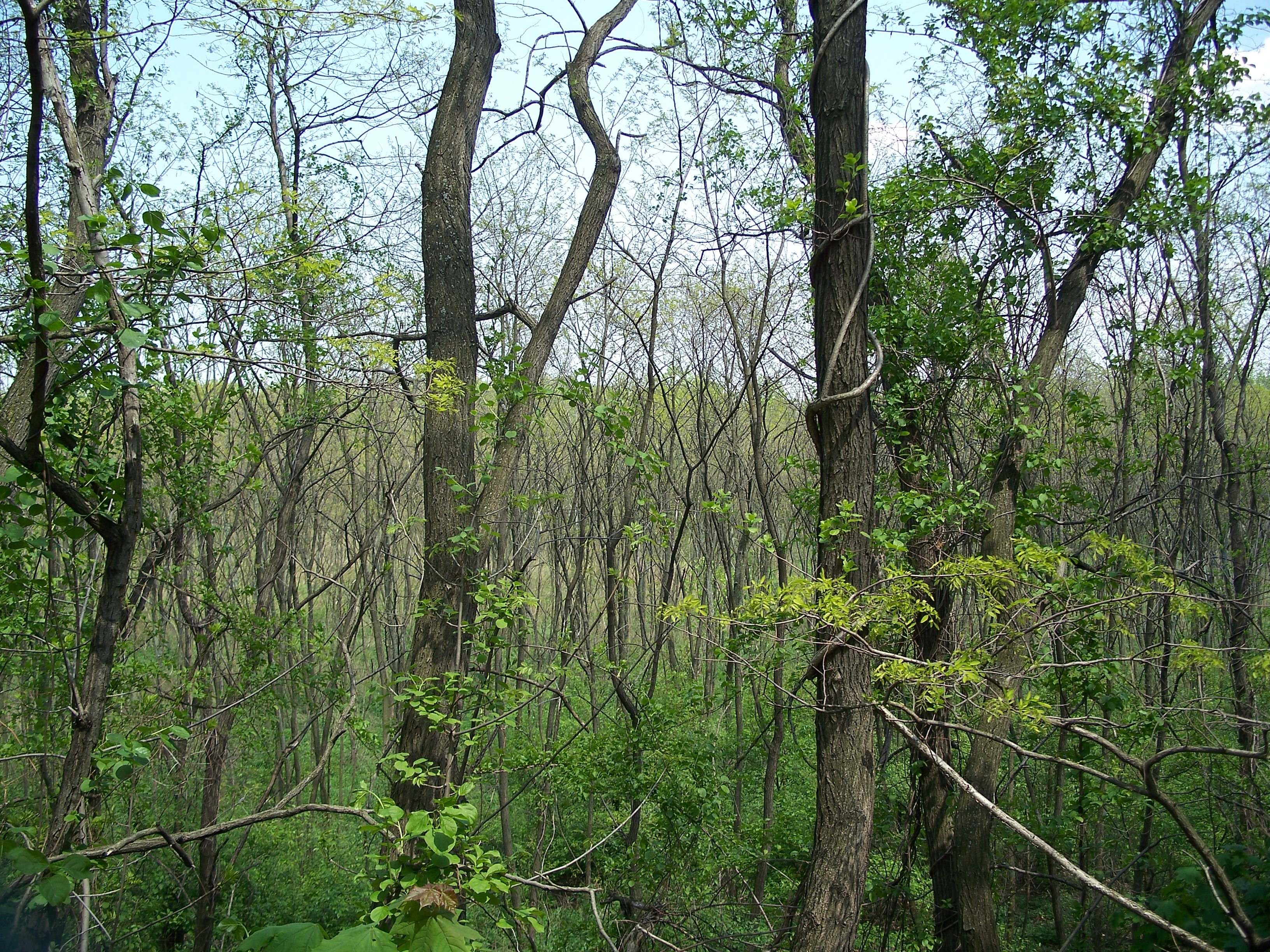
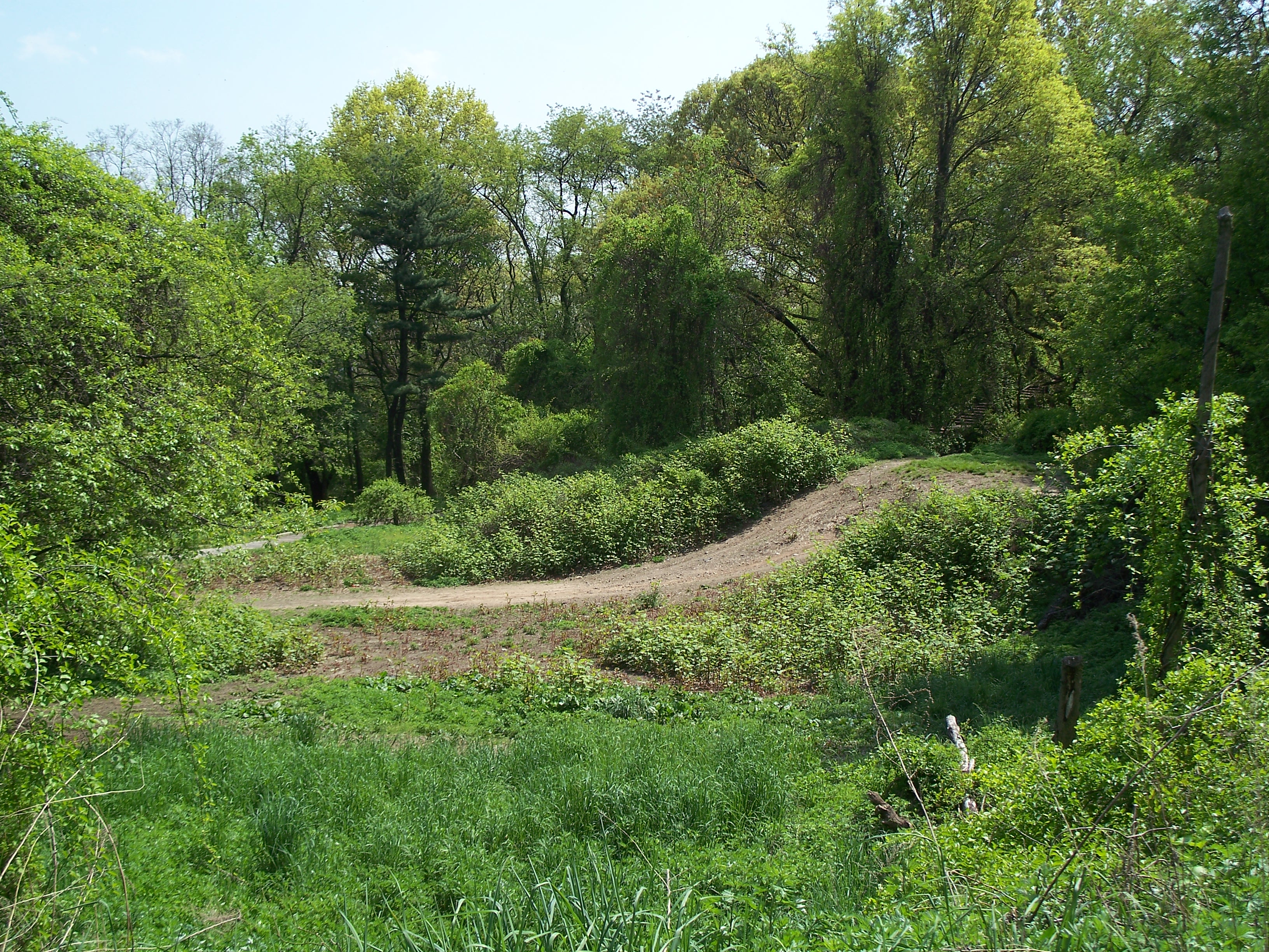
Birch forest in the west basin

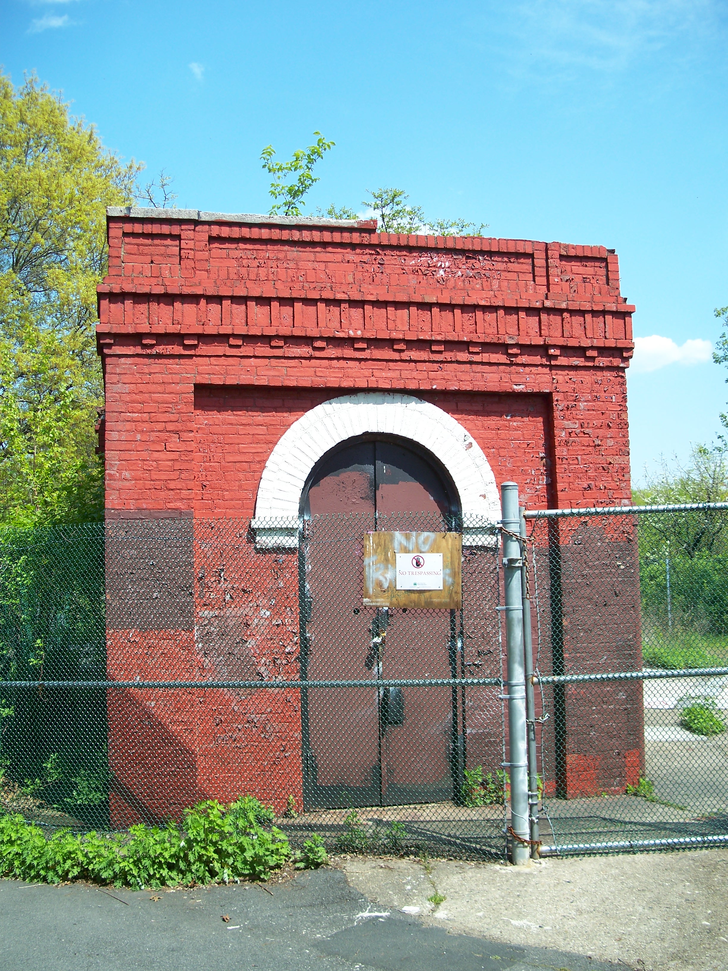
Sign on gate of west basin

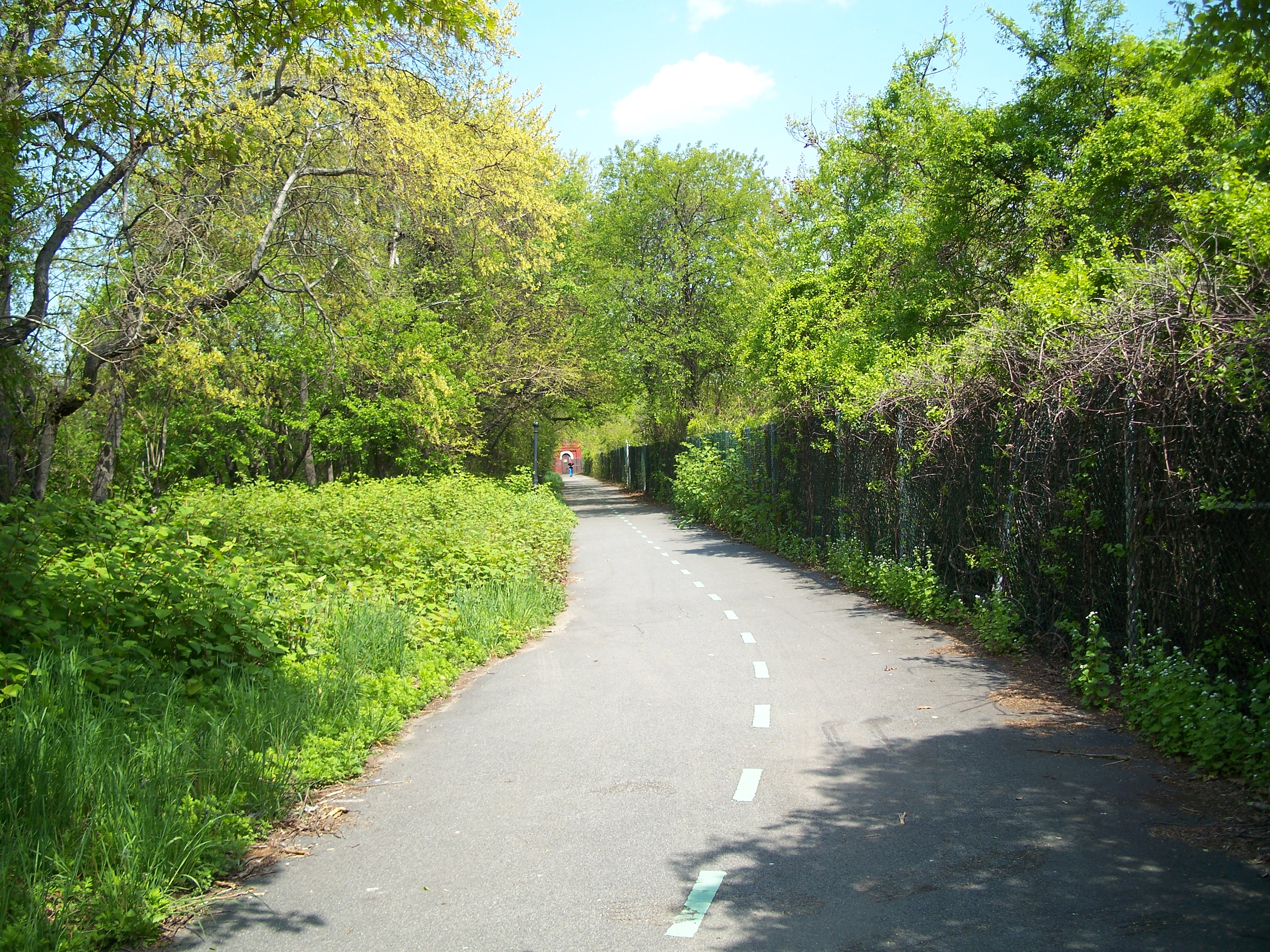
Bike path on northwest corner of west basin
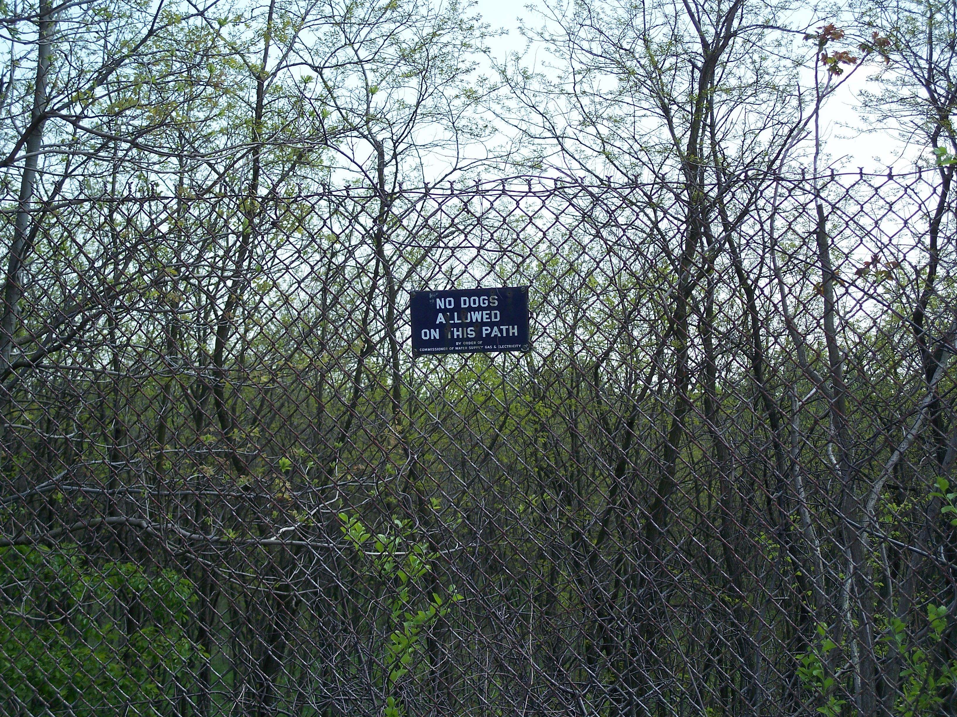
'No dogs' sign on north fence of west basin

Gate house on north edge of West basin

Gate house on north edge of West basin

Gate house on north edge of west basin

Gate house on north edge of west basin
Bike path on north edge of center basin

Eastern wall of the west basin
Walking path between the west and center basins
Ridgewood Reservoir

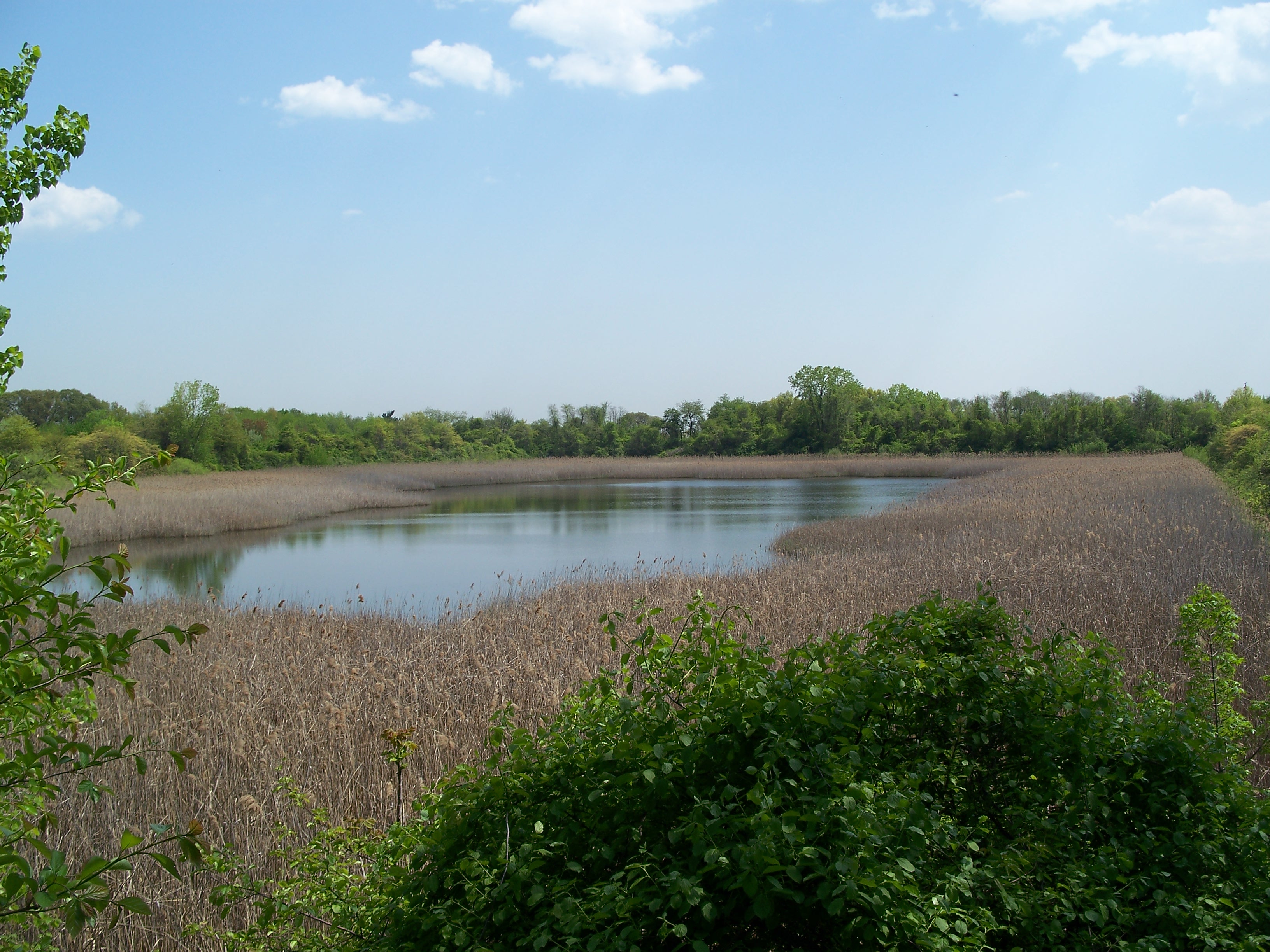
Center basin marsh - one of the few good views of the reservoir from the bike path
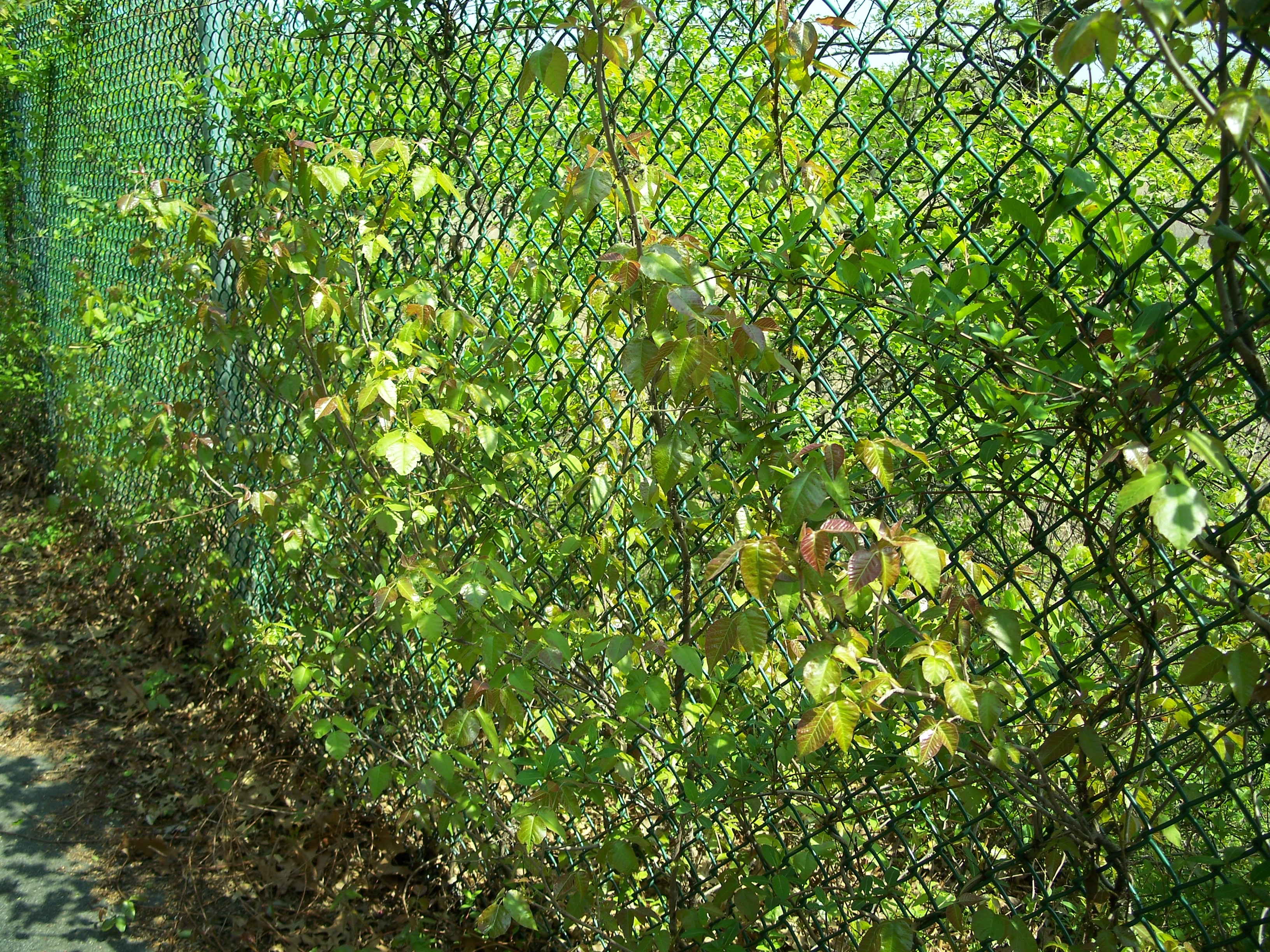
Leaves of three, leave 'em be (poison ivy)

Gate house on north edge of center basin
Gate house on north edge of center basin
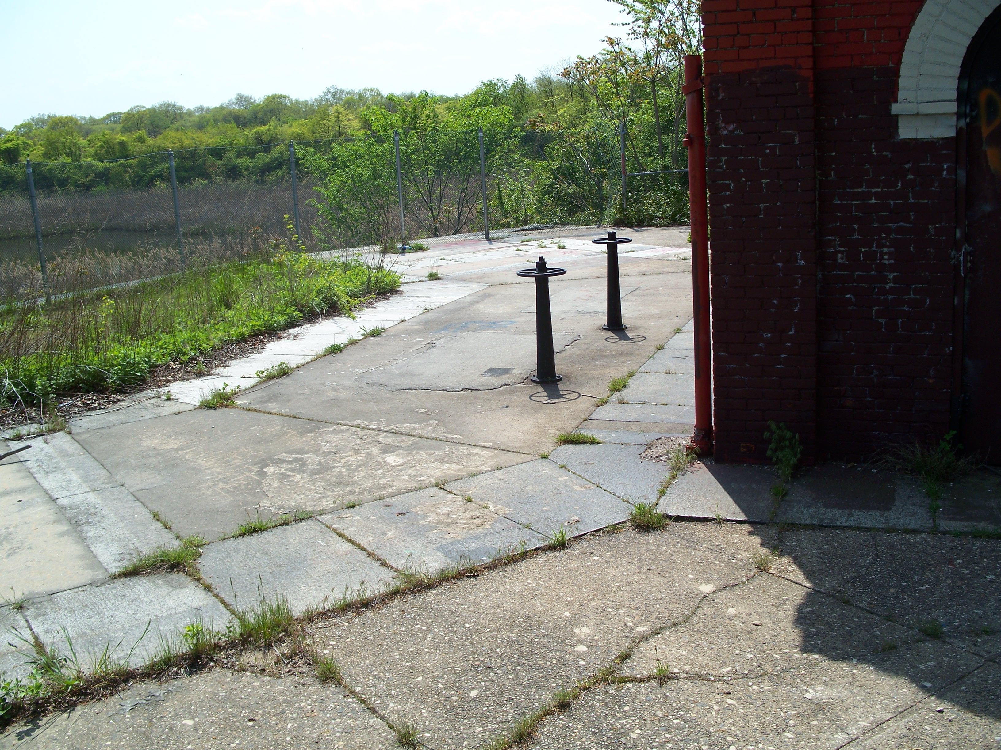
Gate controller valves
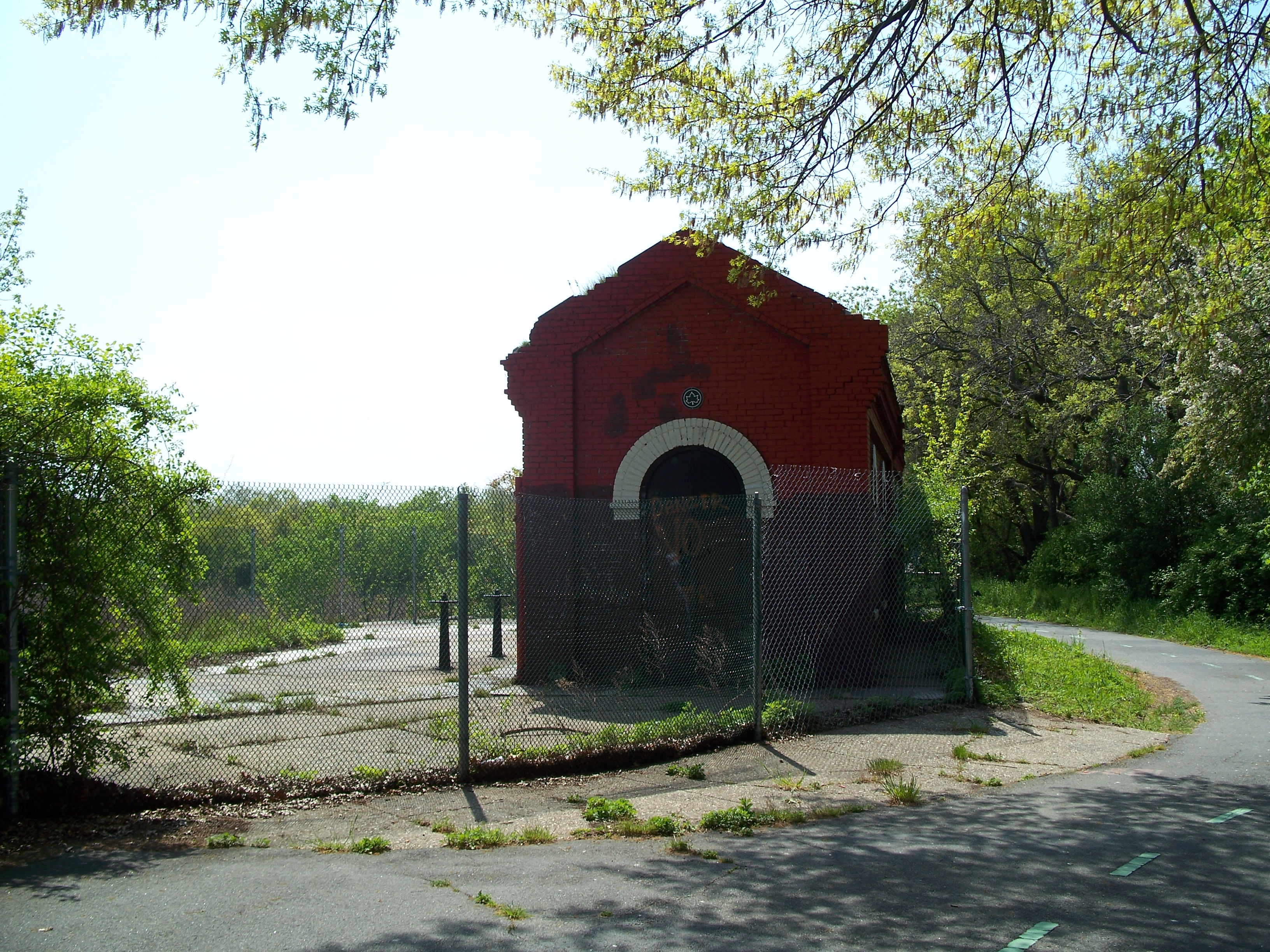
Gate house on north edge of center basin

Gate house on north edge of center basin

Stone wall on north edge of east basin

East basin vegetation
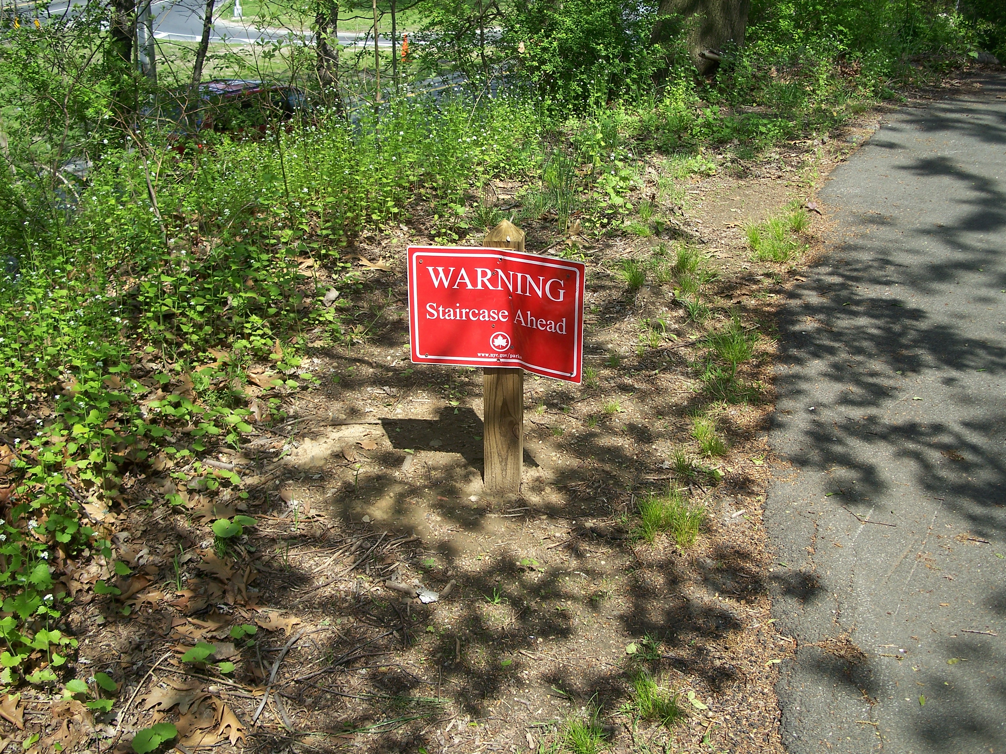
Staircase warning sign

Bike path around northeast corner of the east basin
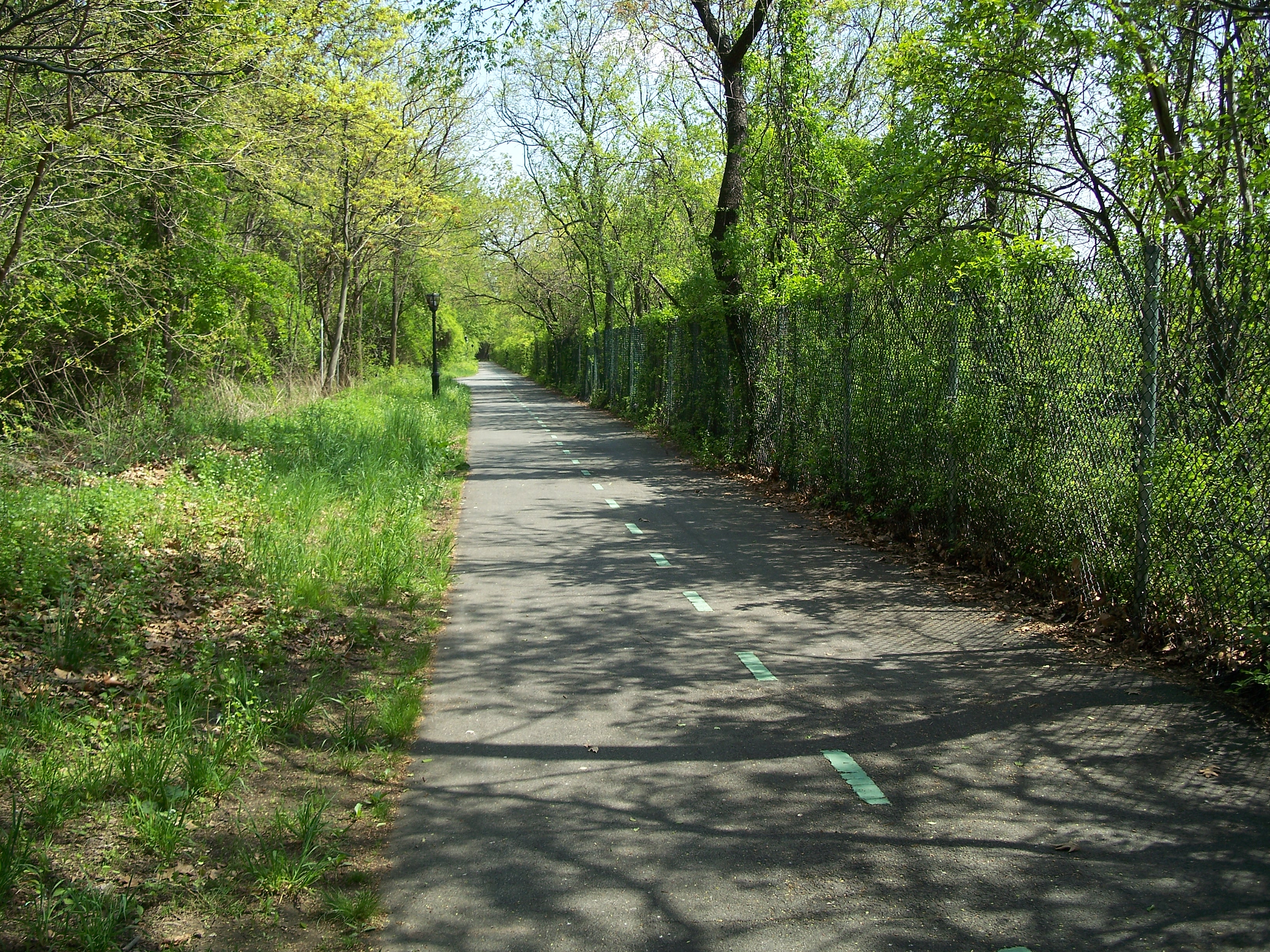
Bike path along the east side of the east basin looking south

Stone wall on east side of east basin
Stone wall on east side of east basin
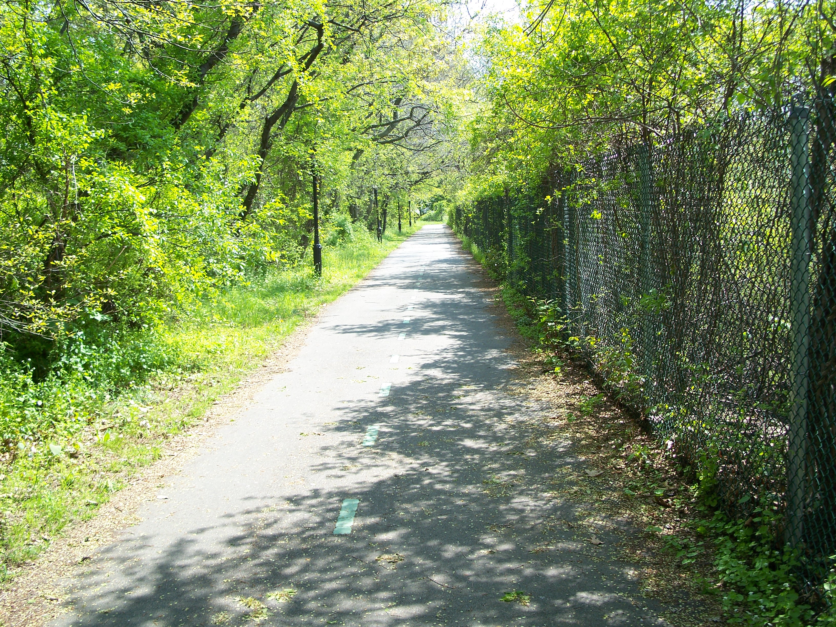
Bike path along the east side of the east basin looking south

Cypress Hills Memorial Cemetery viewed from bike path on east side of the east basin
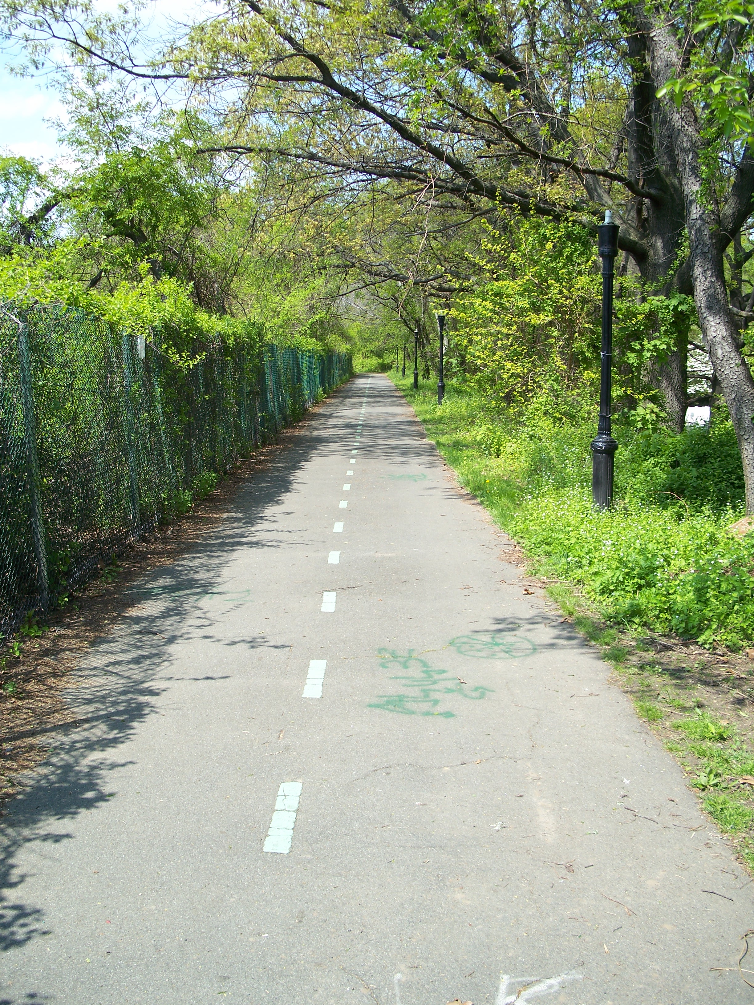
Bike path along the east side of the east basin looking north
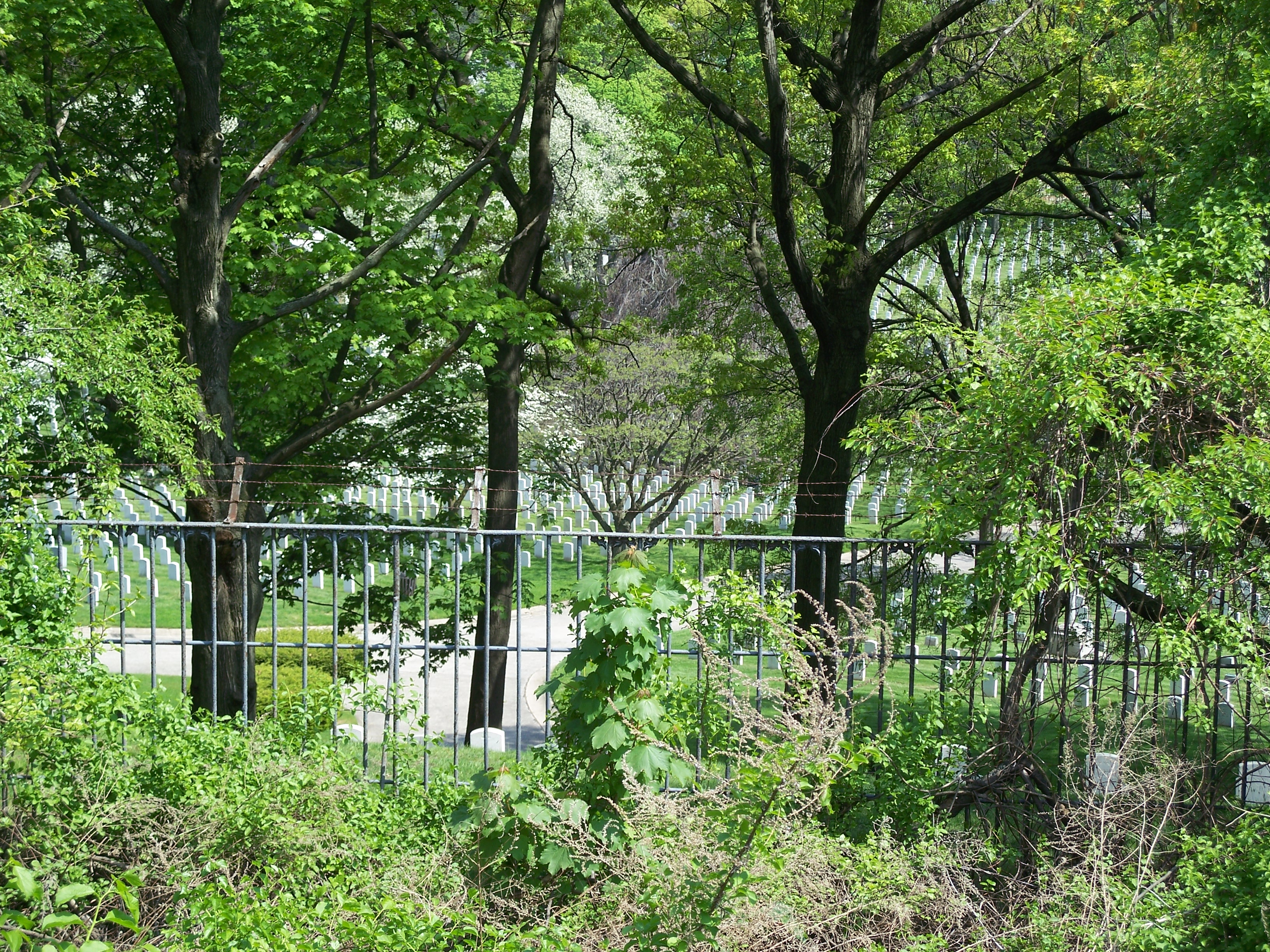
Cypress Hills Memorial Cemetery viewed from bike path on east side of the east basin
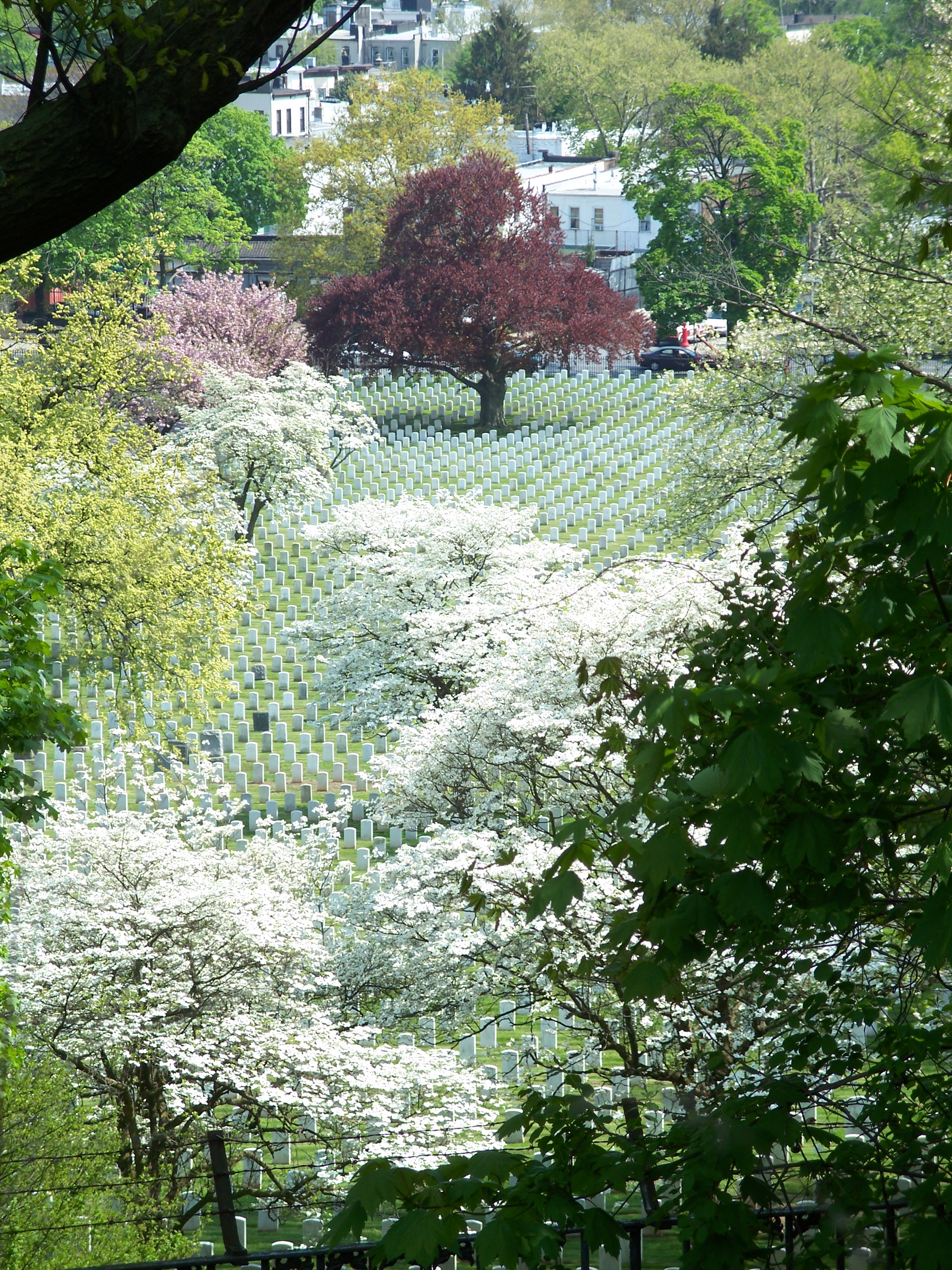
Cypress Hills Memorial Cemetery viewed from bike path on east side of the east basin
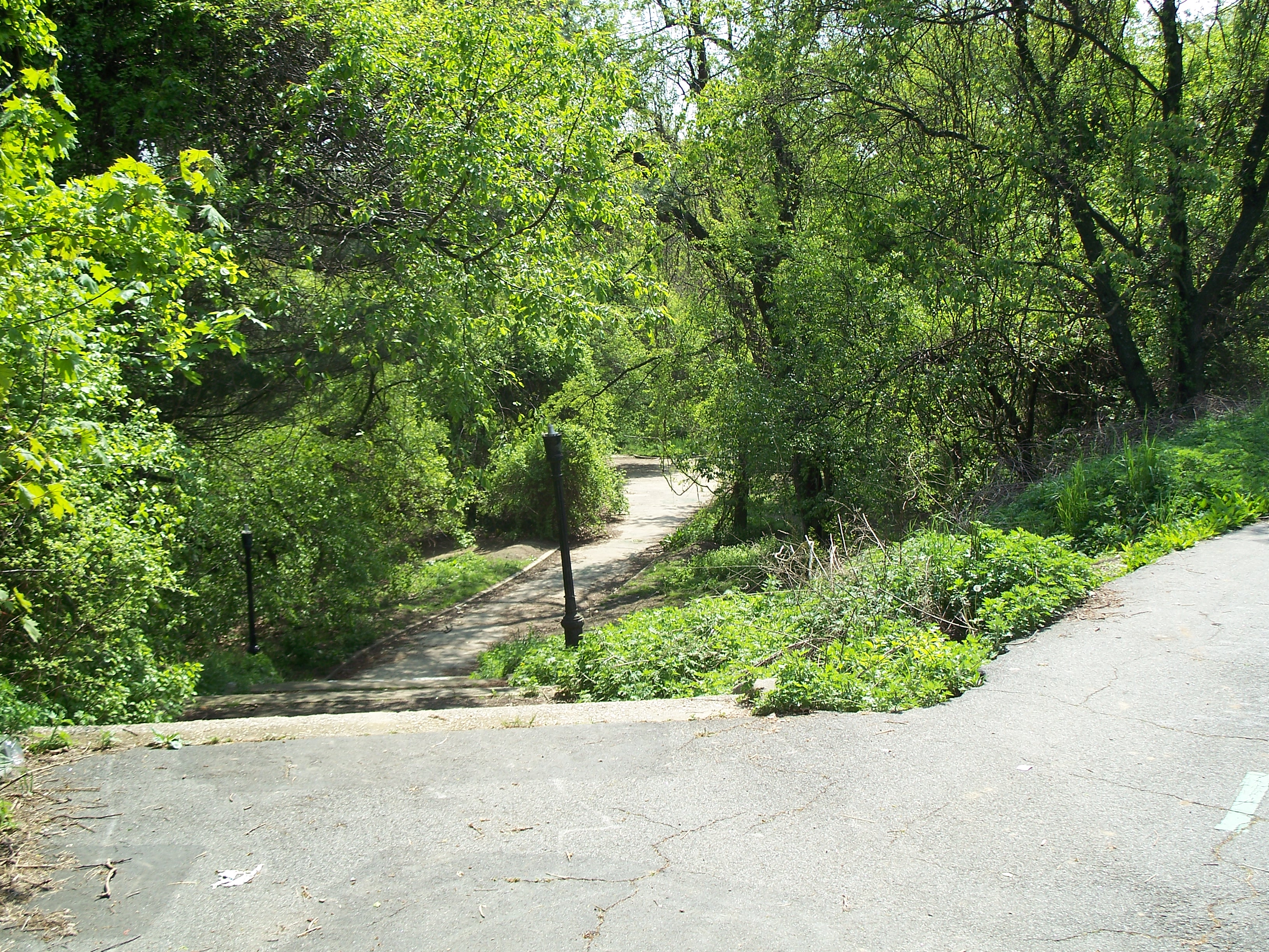
Stairwell down to Highland Park from the southeast corner of the reservoir
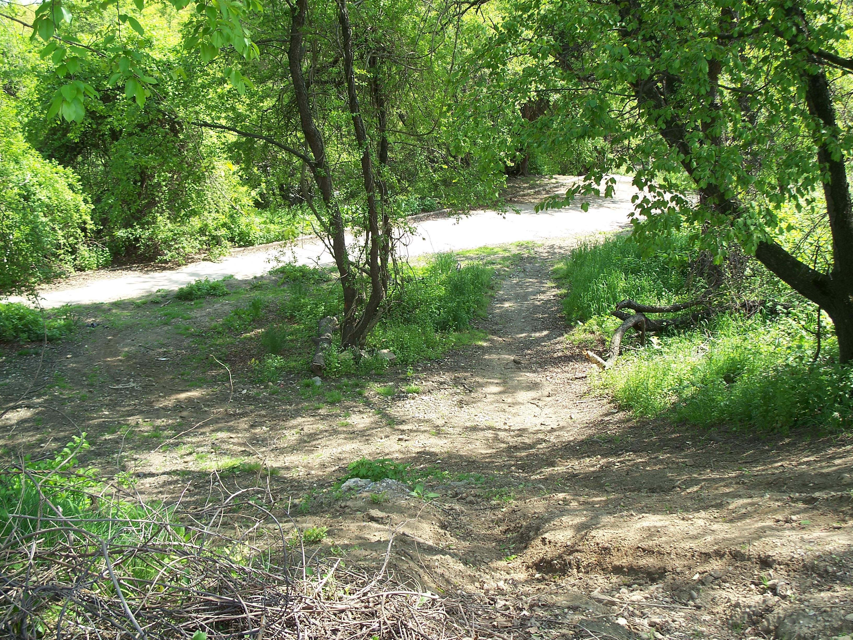
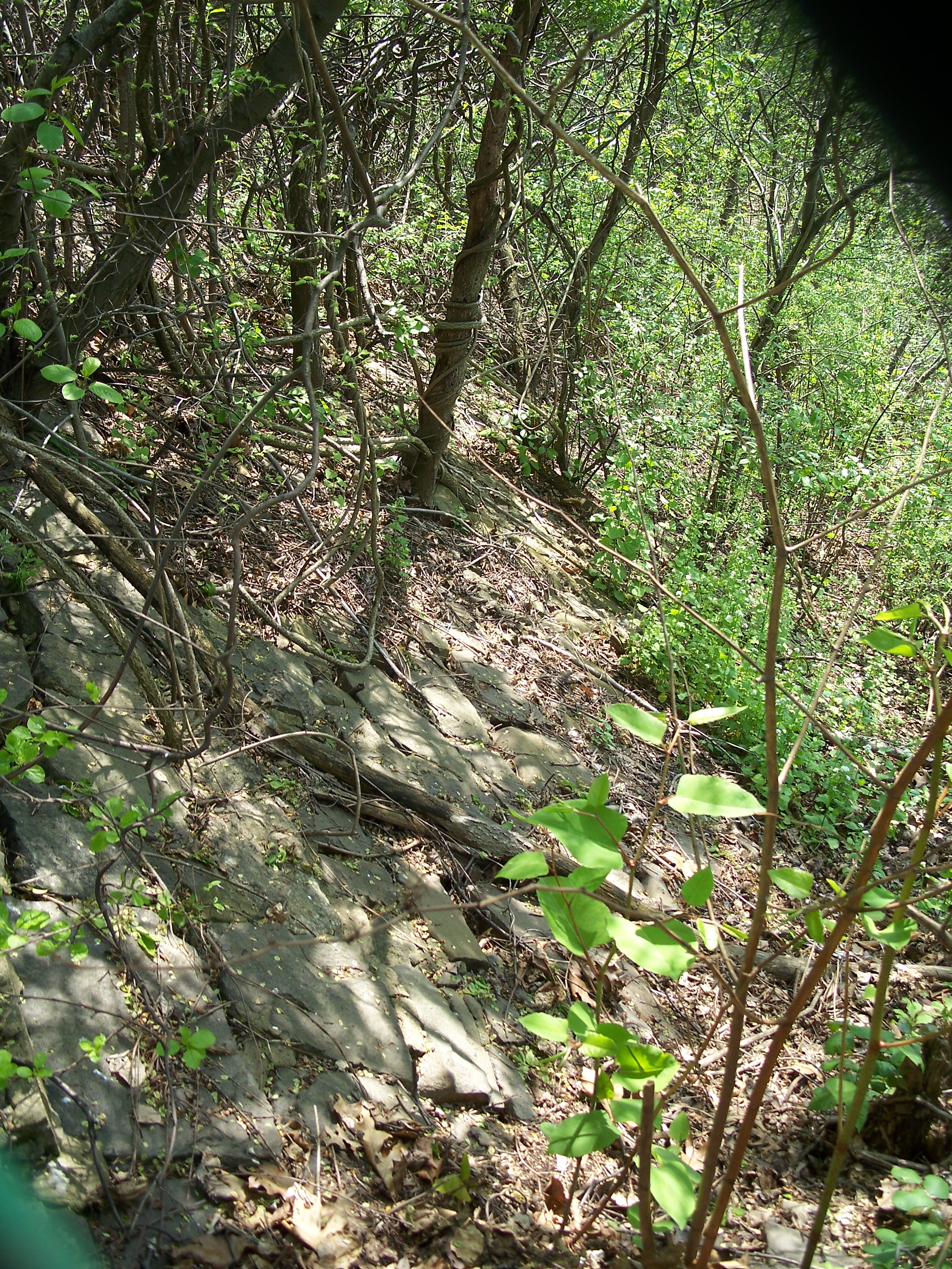
ATV paths on hillside just south of the east basin
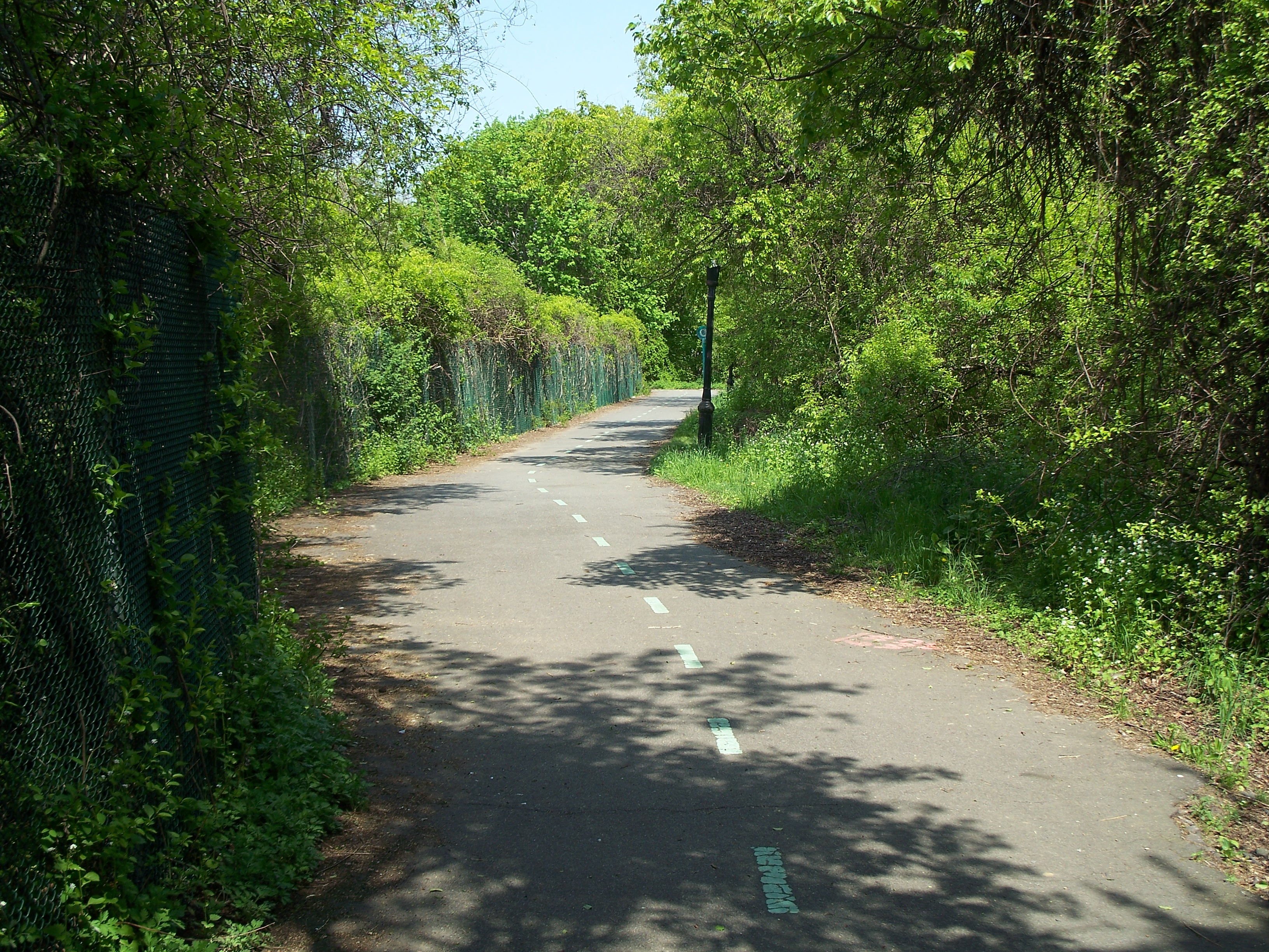
Bike path on south side of east basin

Walkway between center and east basins - oh, so tempting, but what if you get caught?

Walkway between center and east basins

Stone gate structure on south edge of center basin - where water came in from the force tube?
Stone gate structure on south edge of center basin
ATV paths on hillside just south of the center basin

Walkway between center and west basins

Walkway between center and west basins

Bike path on south edge of center basin
Center basin gate house viewed from across the basin

Stairwell down from center basin to lower Highland Park
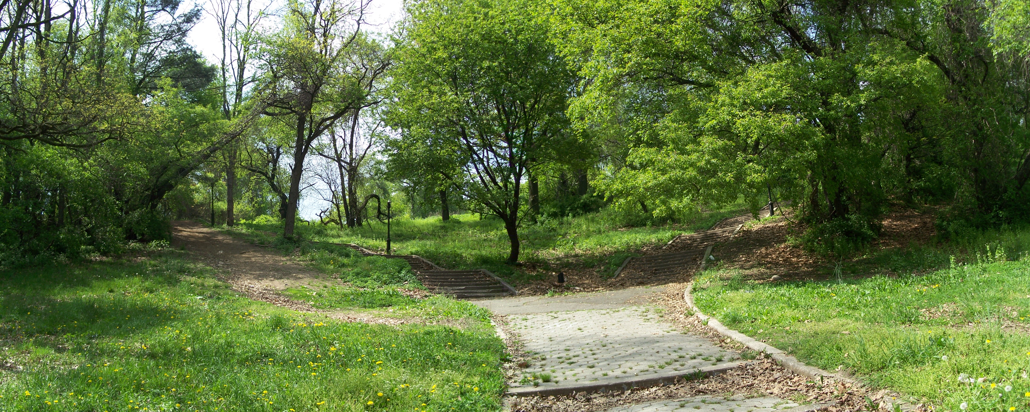
Stairwell down from center basin to lower Highland Park

Stairwell down from center basin to lower Highland Park
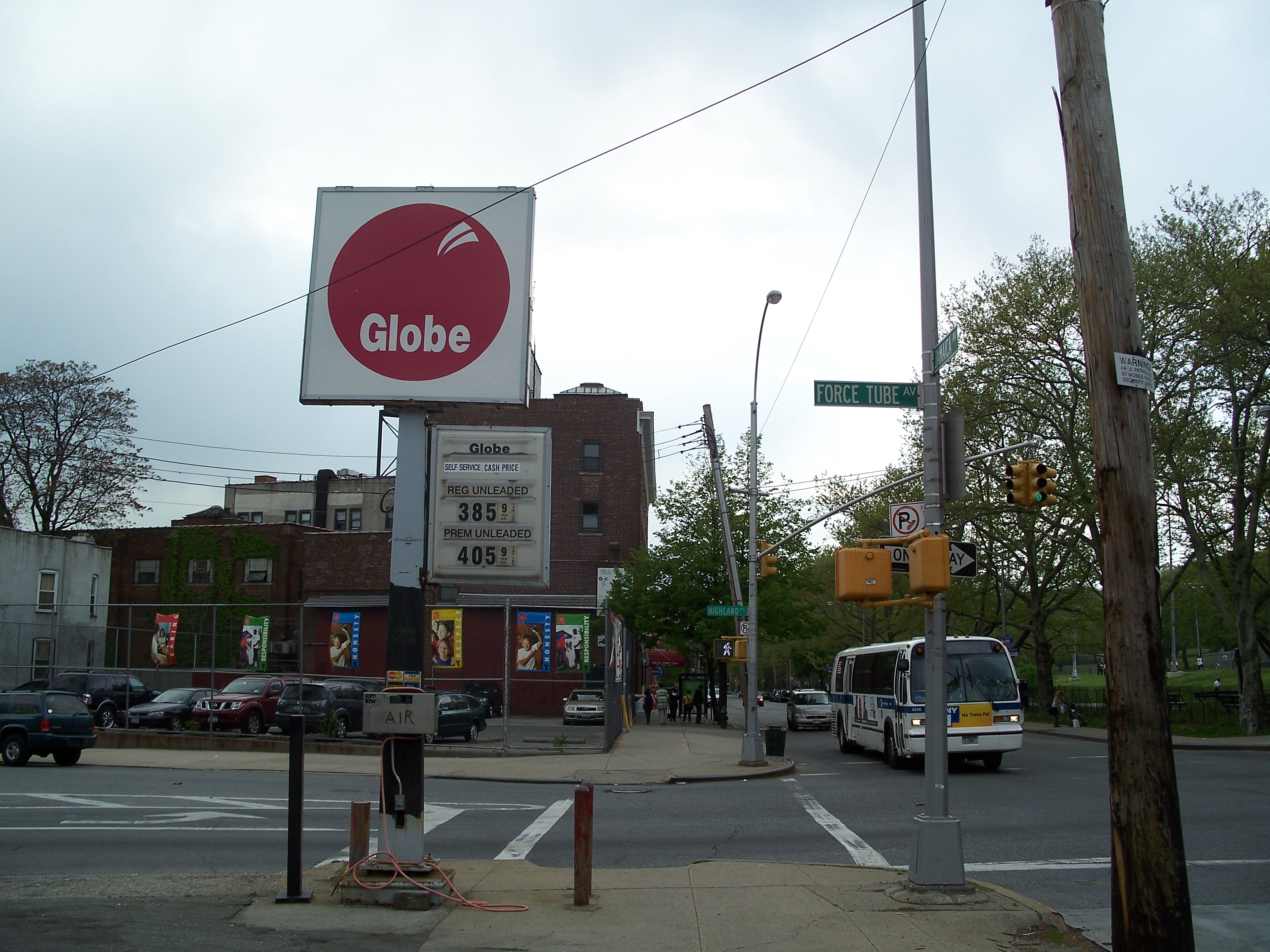
Force Tube Avenue - location of pipe connecting the pump station on Atlantic Avenue to the reservoir up the hill