McGowan's Pass
McGown's Pass was named for a tavern run by Scotswoman Catherine McGown and her children from 1759 into the 1840s. The tavern was located on what later became the Mount St. Vincent's Academy. The area to the north of these bluffs was a marshy area surrounding Harlem Creek which extended west to the Harlem River. Kingsbridge Road, the major artery linking New York City with mainland cities to the north, crossed Harlem Creek over King's Bridge and passed up through this area between two rocky outcrops before proceeding south into the city, which was then limited to lower Manhattan. Early nineteenth century illustrations (which can be viewed at the NYPL's online digital gallery) show a gate surrounded by forts atop the outcrops.
Control of the pass conferred military advantage. During the war for independence, British troops sealed off lower Manhattan by controlling the pass and camping on what are now the Great Hill, North Meadow and East Meadow. During the War of 1812 Fort Clinton and Nutter's Battery were built to guard the pass. (reference)
From the historical maps and what little information is available on the web, it is a bit difficult to determine exactly where McGowan's Pass was. The topography has been modified quite a bit since the 19th century. Harlem Creek has been filled in on both sides of what is now Harlem Mere and the eastern side of the marsh is now East Harlem around 106th Street. Kingsbridge Road is long gone and the eastern Park Drive now curves around the bluffs in switchbacks that are fun to bike or skate down but a bit of a effort to get back up again. The area that had been cleared in military days to give full view of the surrounding countryside is now covered in lovely tall trees.
However, I will assume that what was the pass is now approximated by the modestly inclined path that rises from the midpoint of Harlem Mere, between Nutter's Battery and Fort Clinton and joins with the existing Park Drive to the south of where the park drive begins its switchback around Fort Fish. This is consistent with notes on the Central Park Conservancy website and a 2014 NY Times article on some archaeological work done in the area in advance of utility installation.
Some contemporary maps are a bit indeterminate about the location of the pass and label McGowan's Pass as this valley between Fort Clinton on the north and Mt. St. Vincent on the south, which would lead it around the east side of the Fort Clinton outcropping. However, the 1811 map given above lists it as clearly behind the fortifications.
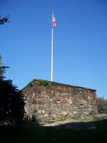
The Blockhouse
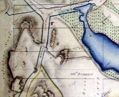
1811 map of McGowan's Pass
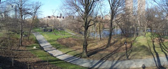
McGowan's Pass viewed from the South

McGowan's Pass viewed from the North
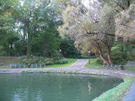
Northern entrance to the pass from a southern arm of the present Harlem Mere
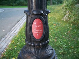
Lamppost directions
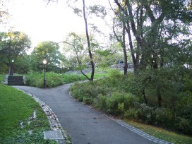
Nutter's Battery to the west of the pass
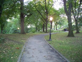
Traveling south through the pass
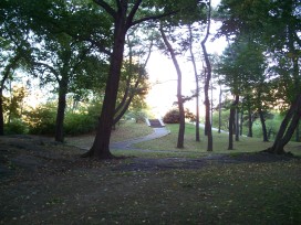
Fort Clinton to the east of the pass
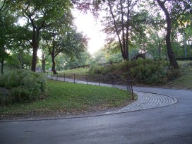
Connecting with the park drive
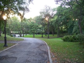
Path east from McGowan's Pass
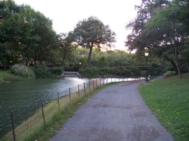
Southern tip of Harlem Mere just to the north of the Conservatory
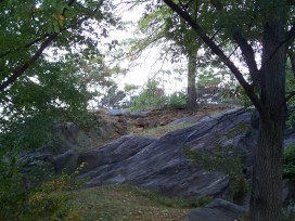
Fort Clinton atop the outcrop
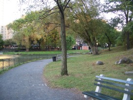
Proceeding around the southern edge of the Mere
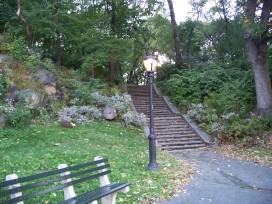
Stairway up to Fort Clinton
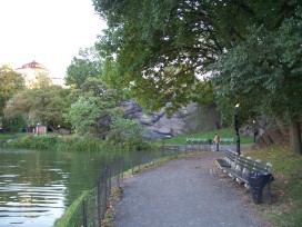
Southern edge of Harlem Mere