Verrazanno-Narrows Bridge
Opened: November 21, 1964
Architect: Othmar Ammann
The Verrazano-Narrows Bridge carries 12 lanes of traffic across The Narrows, a tidal strait separating Staten Island and Brooklyn.
In pre-historic times, Staten Island and Long Island were connected and the Hudson River emptied into the ocean through the Raritan River. However, towards the end of the last ice age around 6,000 years ago, the river broke through the Narrows, forming the current strait. Giovanni da Varrazzano was the first recorded European visitor to the strait in 1524. As the natural maritime gateway to the Hudson River and the ports of New York and New Jersey, the Narrows has been of strategic military importance since the Revolutionary War.
The Baltimore and Ohio Railroad first proposed a tunnel crossing in 1888 to connect their Staten Island North Shore Line to Brooklyn, but that project never advanced beyond the design stage. Charles Worthington proposed a steel arch bridge in 1910, but the War Department rejected the idea because demolition of the bridge could severely hamper access to New York's harbor and Navy Yard. In the early 1920s, work was actually started on a rail tunnel, but problems with cost stopped the project after a small amount of excavation. Further proposals for tunnels and bridges in 1926, 1929, 1937 and 1941 met similar fates.
The bridge finally started on a course to completion under the prodding of development czar Robert Moses in a 1946 recommendation by the newly formed Triborough Bridge and Tunnel Authority (which Moses chaired). After gaining reluctant concessions from the Army (which owned a pair of obsolete forts on opposite sides of the Narrows) Moses was granted approval by the Army Corps of Engineers in 1949. A joint study by the TBTA and the Port Authority in the mid-50s recommended the bridge, (with a financial prodding that it would yield increased traffic over the money-losing Goethals Bridge and Outerbridge Crossing). The legislature approved construction of the bridge in 1957.
The bridge was the final design by Othmar Ammann, who had a role in most of the major bridges built in NYC during the 20th century. Construction began on August 13, 1959 and the upper deck opened to traffic on November 21, 1964. As planned, the lower deck remained closed until demand dictated construction of suitable approaches, which finally occurred on June 28, 1969.
The bridge was named after the neglected Italian explorer despite some opposition rooted in subtle and not-so-subtle anti-Italian bias. Interestingly, the official bridge name is misspelled with one 'z' (Verrazano) rather than the more conventional double z's (Verazzano). I seem to recall from a 2005 exhibit on the bridge that this was due to a paperwork error in the Triborough Bridge and Tunnel Authority office.
For more gory details about the history and construction of the bridge, see NYCRoads.com and Everything2.com.
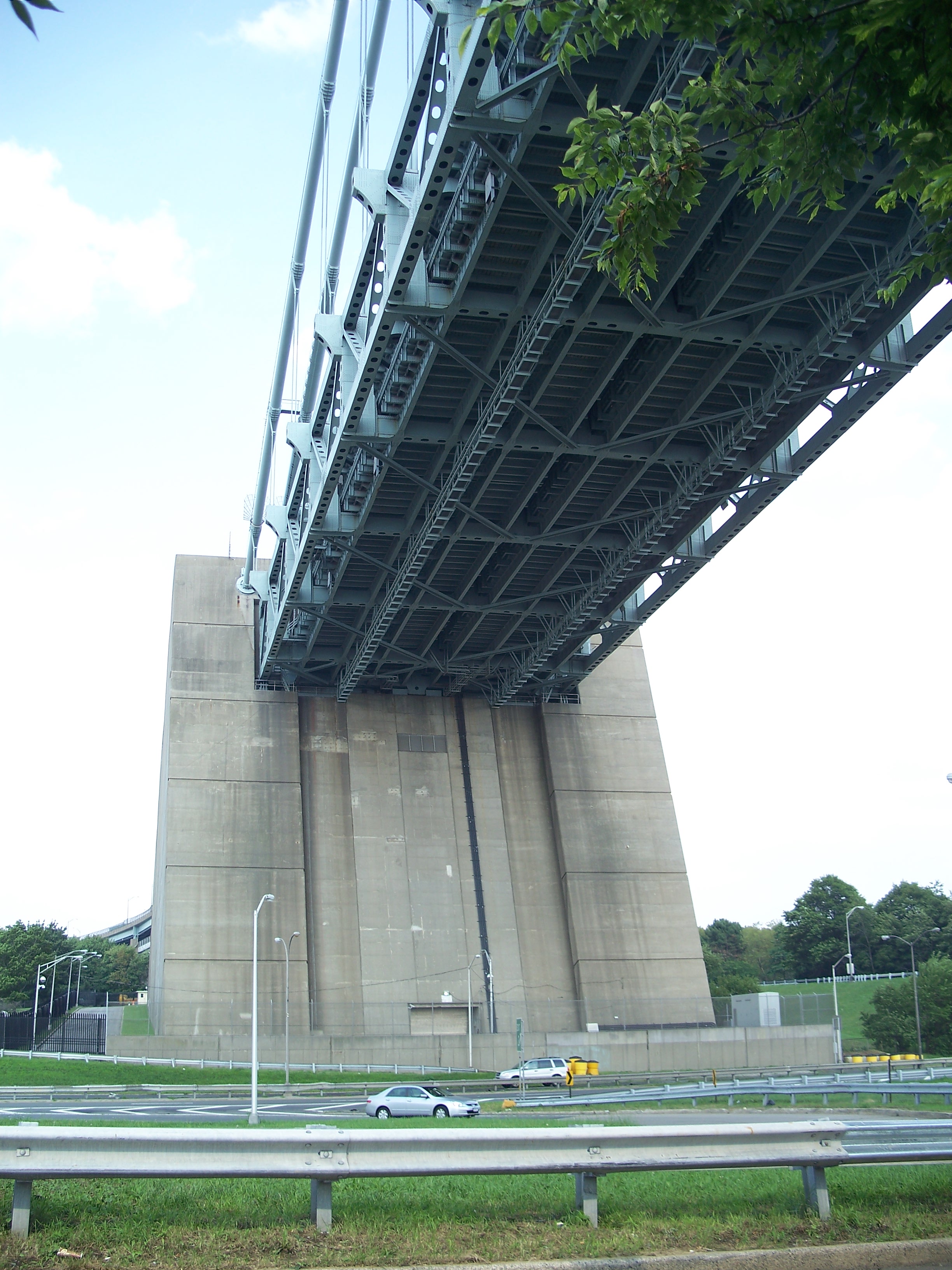
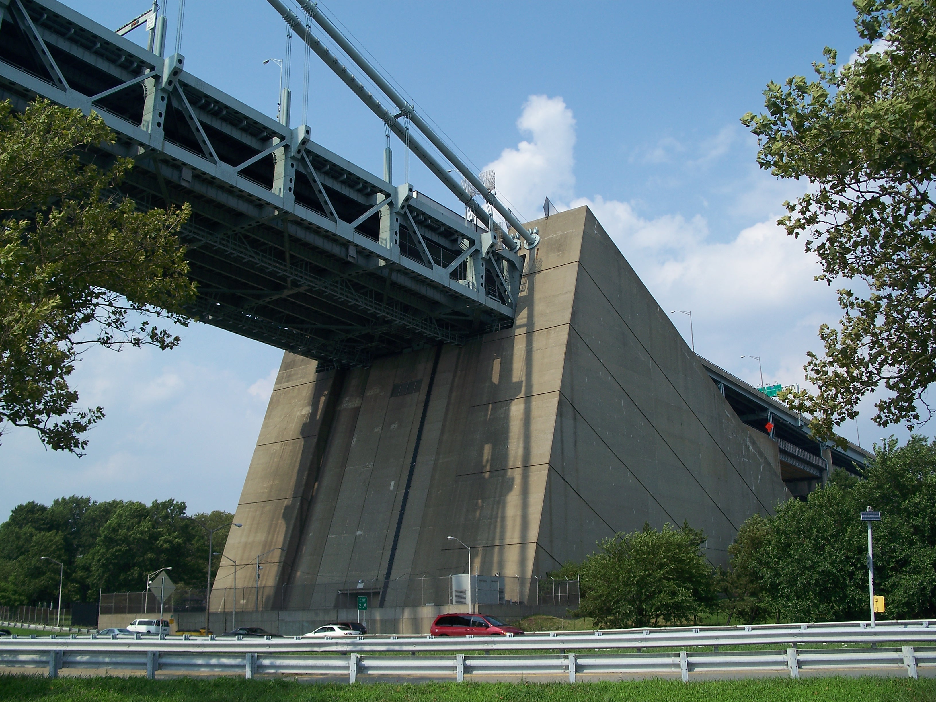
The main span is 4,260 feet long and sits 228 feet at the center above mean high water. The side spans are both 1,215 feet long, giving an anchorage-to-anchorage length of 6,690 feet. Total length with the approaches is 13,700 feet. Each of the four cables contain 26,108 wires that are supported by a pair of towers that rise to 693 feet above mean high water.
Each of the anchorages is 130 feet high, 160 feet wide and 300 feet long. The Brooklyn anchorage contains 207,000 cubic yards of concrete, the Staten Island anchorage, 171,000 cubic yards of concrete. The cables are supported by four roller-mounted saddles on the offshore side and four eyebars on the onshore side that transfer force to inclined girders mounted in the anchorage concrete.
The anchorages and approaches are built over Fort Hamilton on the Brooklyn side and Fort Wadsworth on the Staten Island side. The northern pier was built over what was Fort Lafeyette, a small fort that sat just offshore. All three of these installations were part of the extensive infrastructure built in the 19th century to defend the harbor from sea-borne invaders, but they were made obsolete in the early 20th century by advances in munitions and, ultimately, the advent of strategic bombers and missiles. Fort Wadsworth was decomissioned and turned into a park. Fort Lafeyette was demolished for pier construction.
Fort Hamilton remains the only active Army post in NYC, serving as the home of a U.S. Army Recruiting Battalion and the Military Entrance Processing Station for New York City as well as supporting over 300 Reserve and National Guard units. It is also home to small but mighty Harbor Defense Museum.
Aside from Fort Hamilton, the Brooklyn side of the bridge is surrounded by parks. John Paul Jones Park sits to the west of the Brooklyn anchorage. Shore Road Park runs along the Brooklyn waterfront all the way up to the Sunset Park piers and has a pedestrian path that passes under the bridge.
The Shore Parkway (part of the Belt Parkway) passes under the Northern side span of the bridge. The Shore Parkway was part of Robert Moses' extensive plan of limited-access arterial routes within the city that was unveiled in 1930. Construction on the 36-mile Belt Parkway began in 1934 and the route was dedicated on June 29, 1940, with a two-mile section in Sheepshead Bay following a year later due to delays caused by community opposition.
The parkways are of an insideous design, seamlessly integrating limited-access roads (which Moses invariably promoted to the detriment of public transit) with ribbon parks and large recreational areas, giving a green veneer to a transportation medium that was far from environmentally-benign.
On the 40th anniversay of the bridge's opening, the Staten Island Museum presented a nice exhibit on its genesis.

Verrazanno-narrows Bridge, right

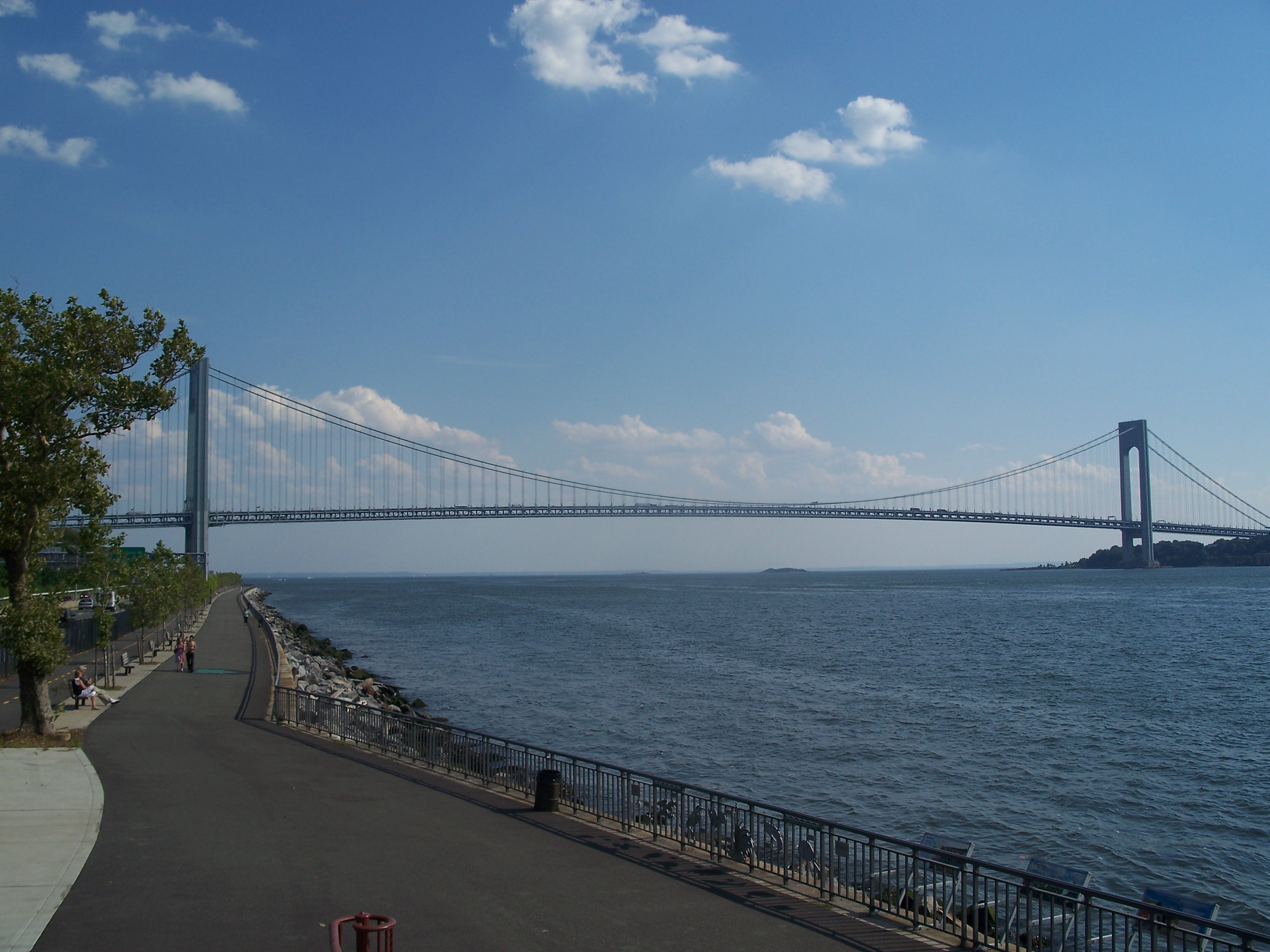
Bridge viewed from the northwest
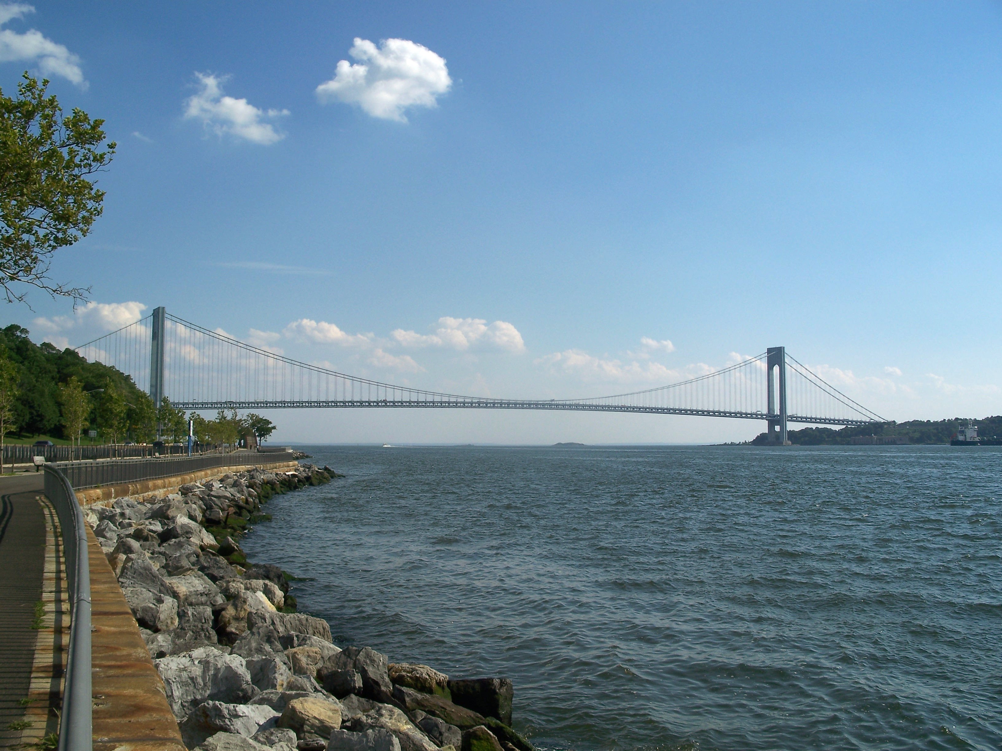
Bridge viewed from the northwest

Bridge viewed from the northwest shore

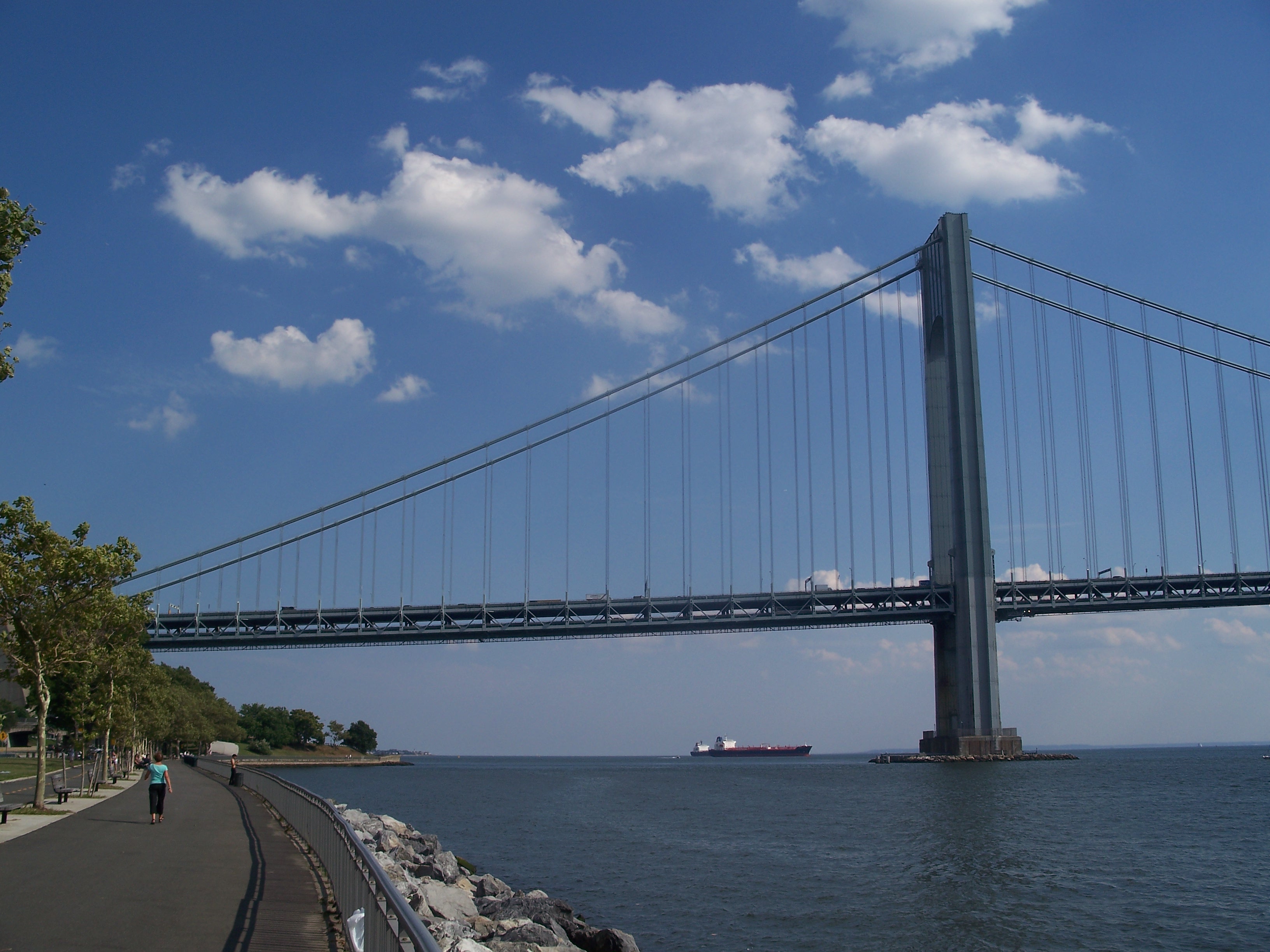
Pier of the Brooklyn Tower - former location of Fort Lafeyette

Brooklyn Tower
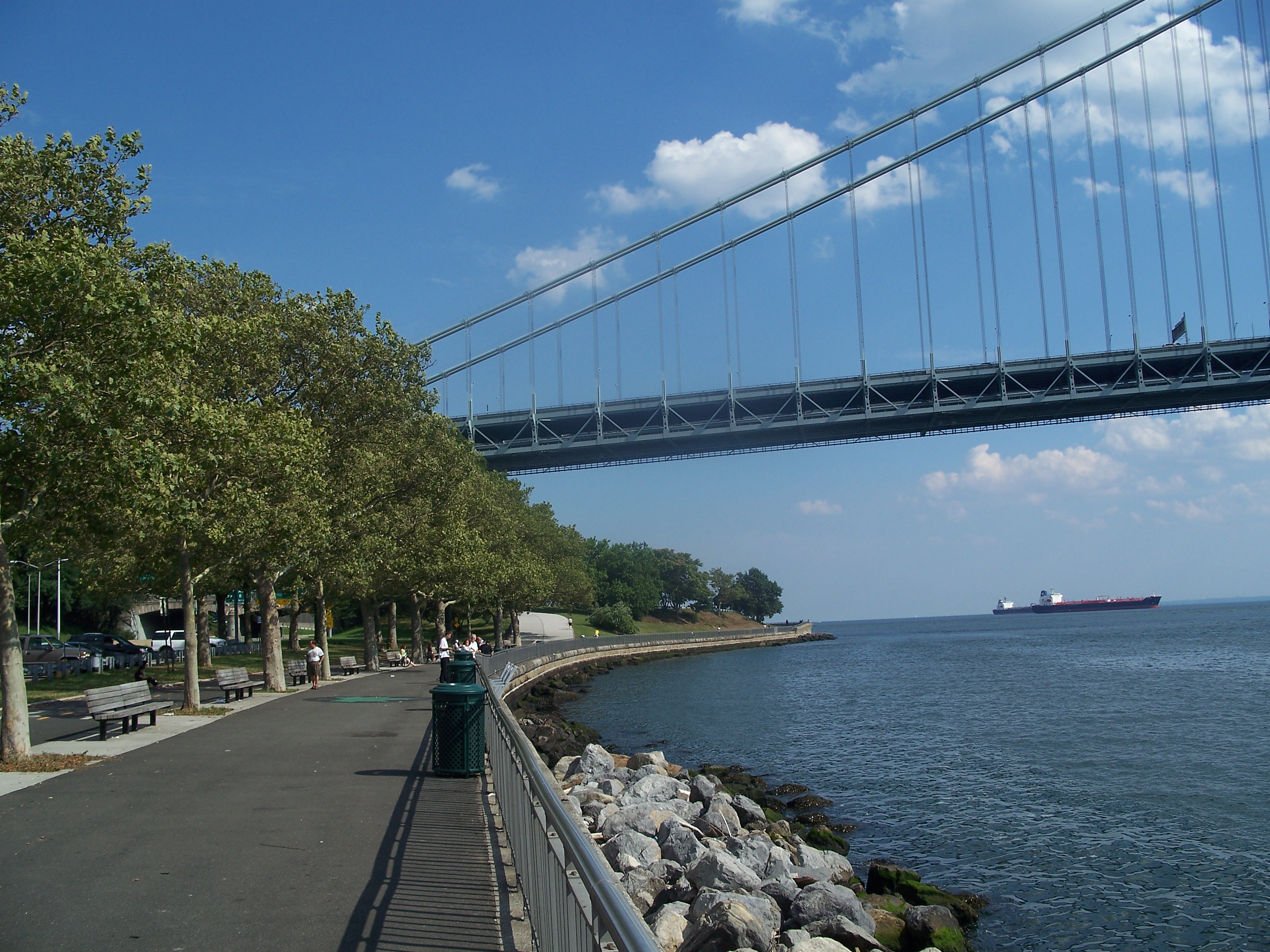
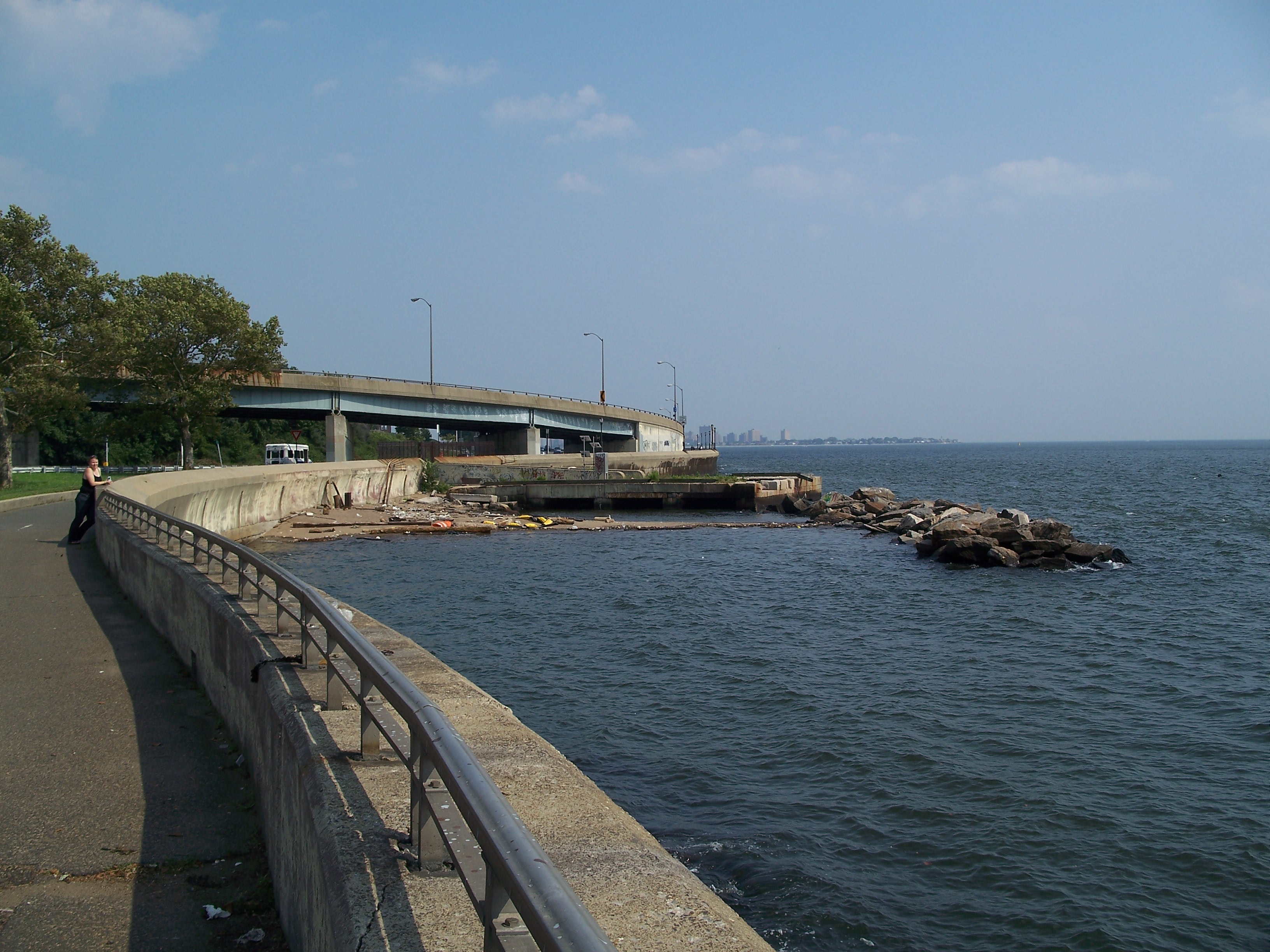
Shore Road Park promenade passing under the northern side span
Northern side span

Northern side span
Bridge viewed from the northwest

Under the bridge deck, looking south towards Staten Island

Under the bridge deck

Northern anchorage

Northern anchorage
Northern anchorage, viewed from under the North side span

Northern anchorage, viewed from under the North side span
Northern anchorage, viewed from the southeast

East entrance to Fort Hamilton, which sits under the north approach to the bridge
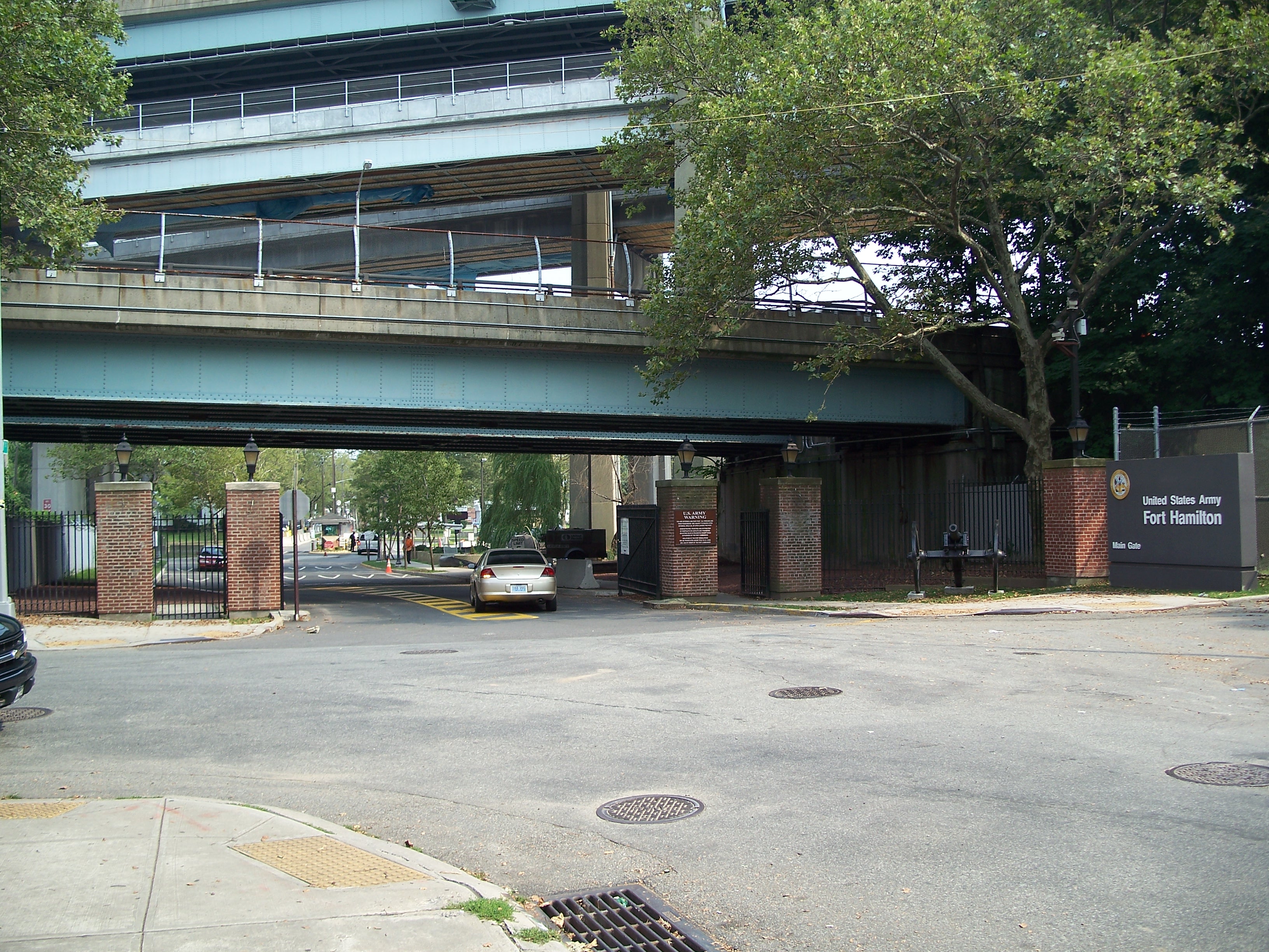
West entrance to Fort Hamilton under the northern bridge approach

Poly Prep School just to the northeast of the bridge
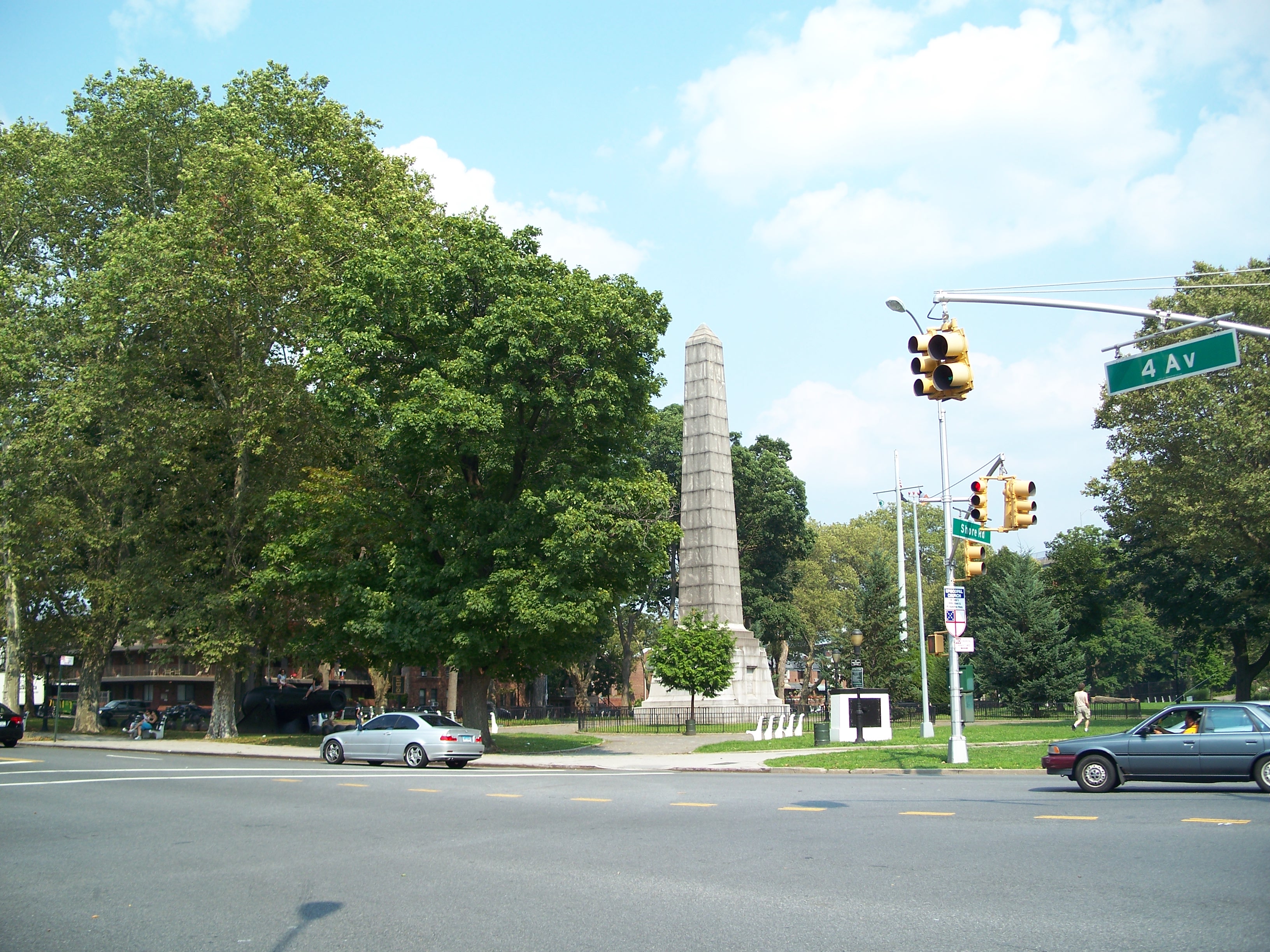
John Paul Jones Park, just west of the northern anchorage

Monument to the WWI Dover Patrol in John Paul Jones Park

Monument to the WWI Dover Patrol
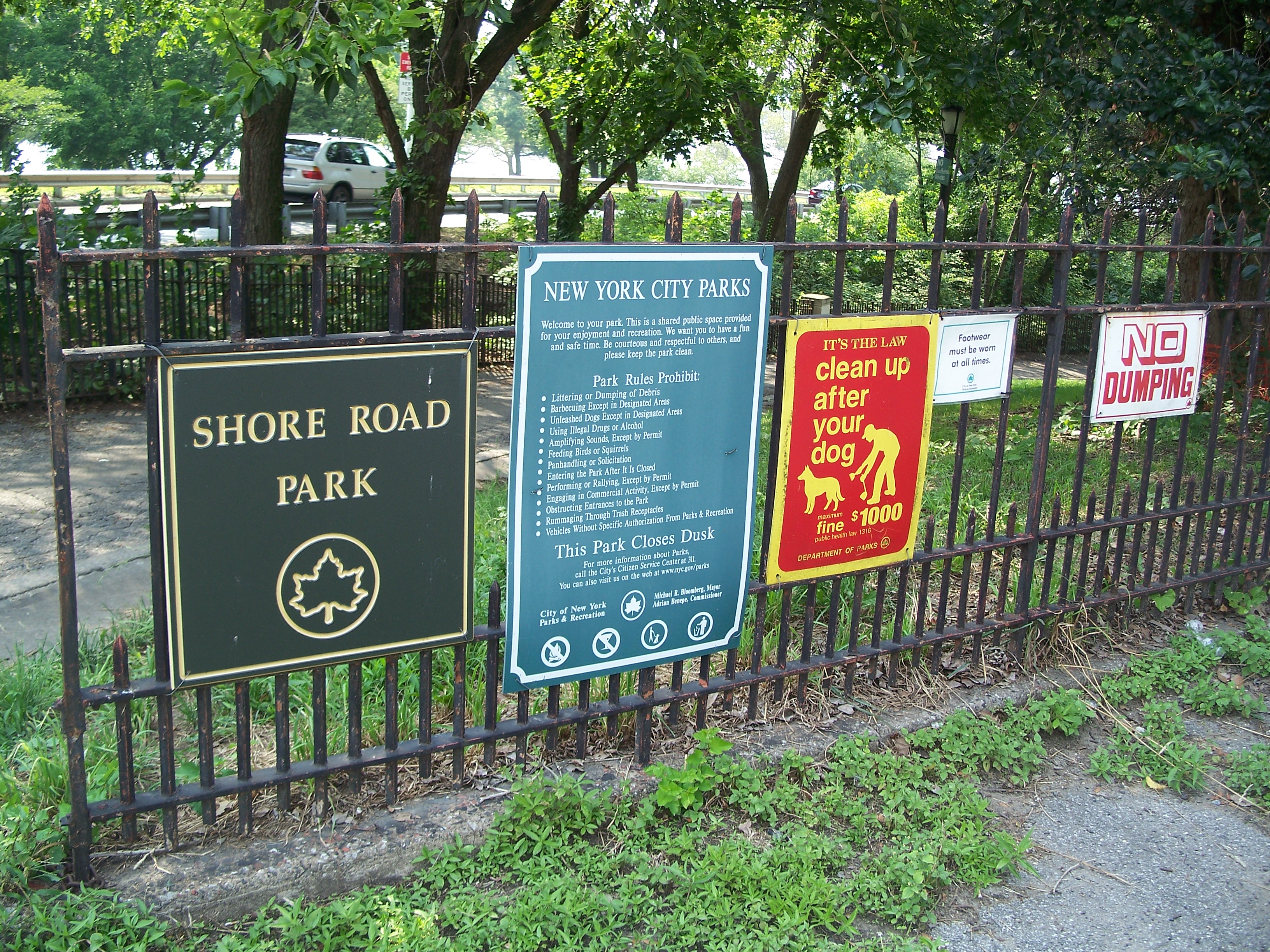
Entrance to Shore Road Park

Relaxin' by the Narrows
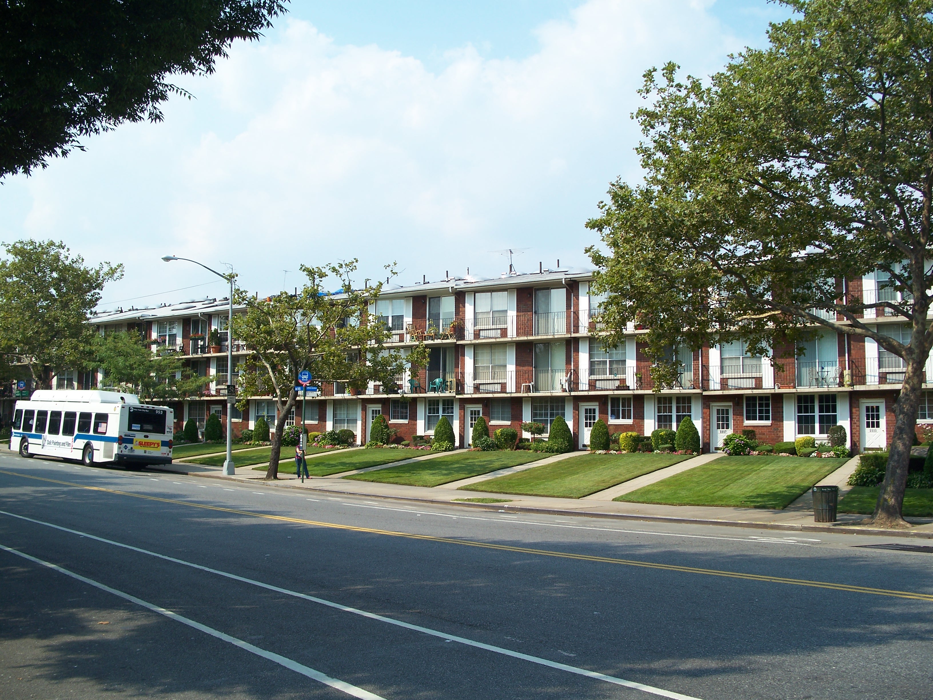
Apartments facing the Narrows

Apartments facing the Narrows
Abandoned pier east of the bridge
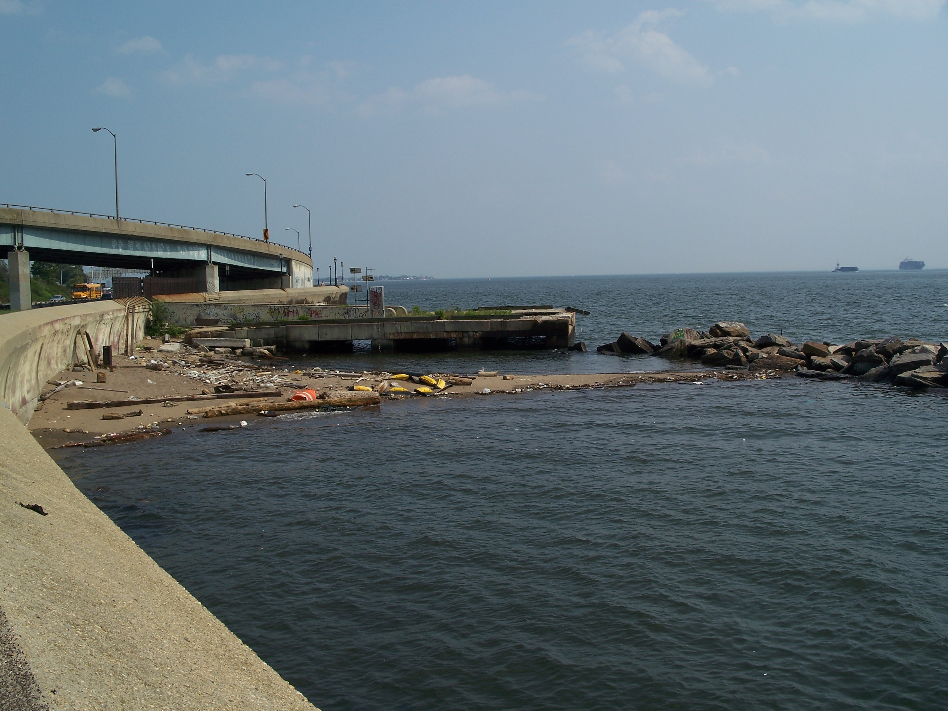
Abandoned pier east of the bridge
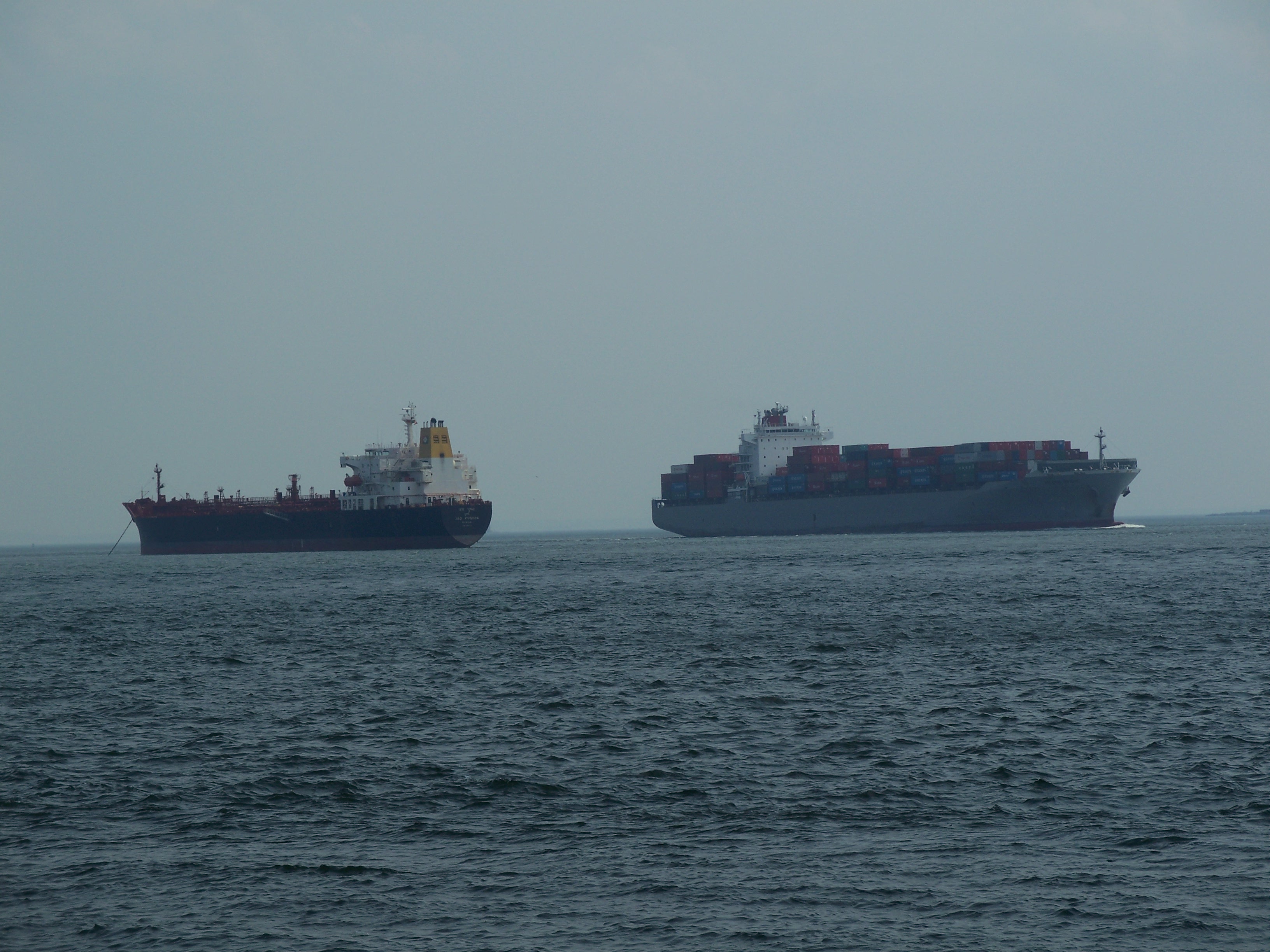
Container ship approaching the bridge

Container ship approaching the bridge
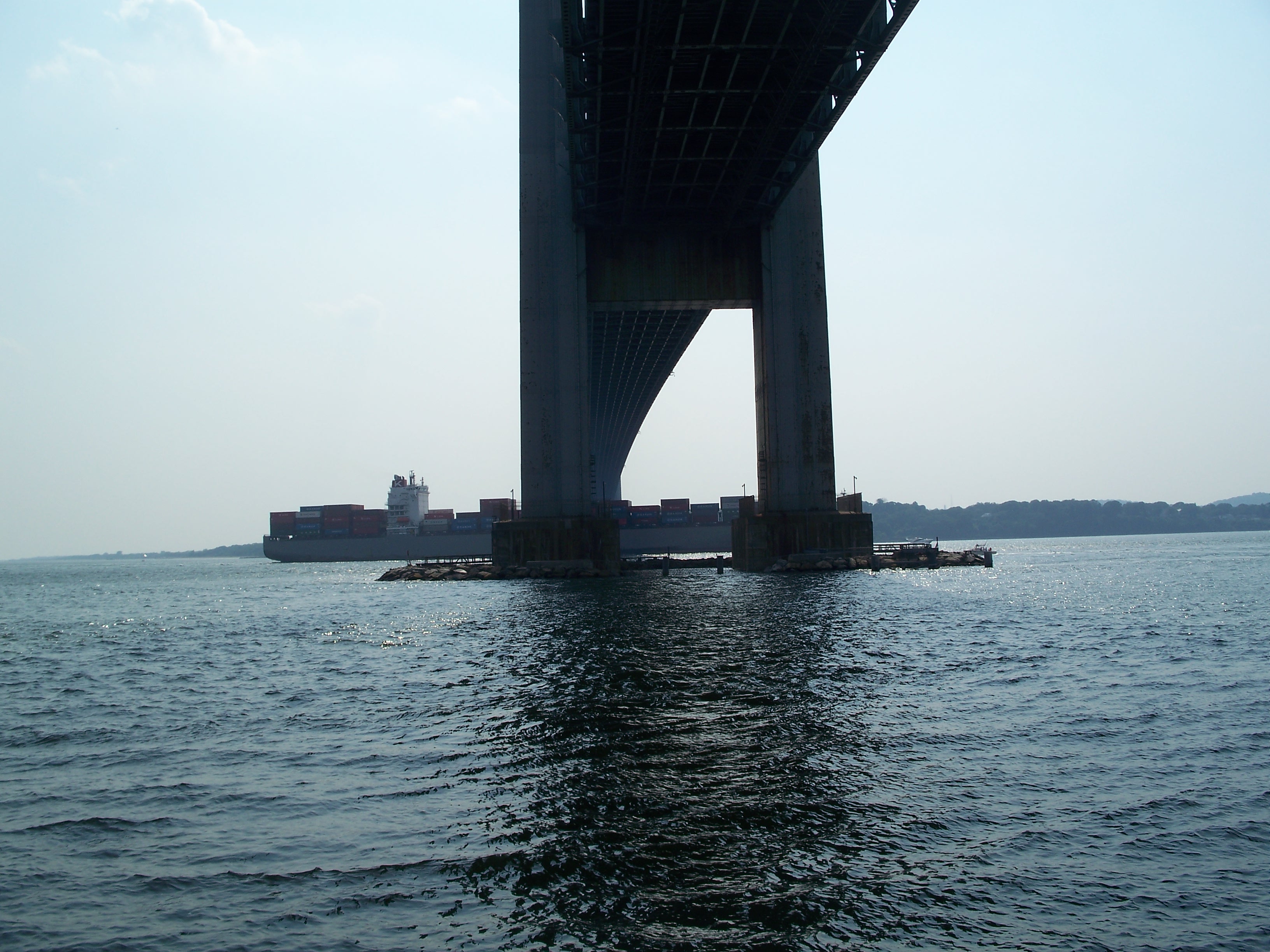
Container ship under the bridge

Container ship under the bridge

Shore Parkway mileage signs
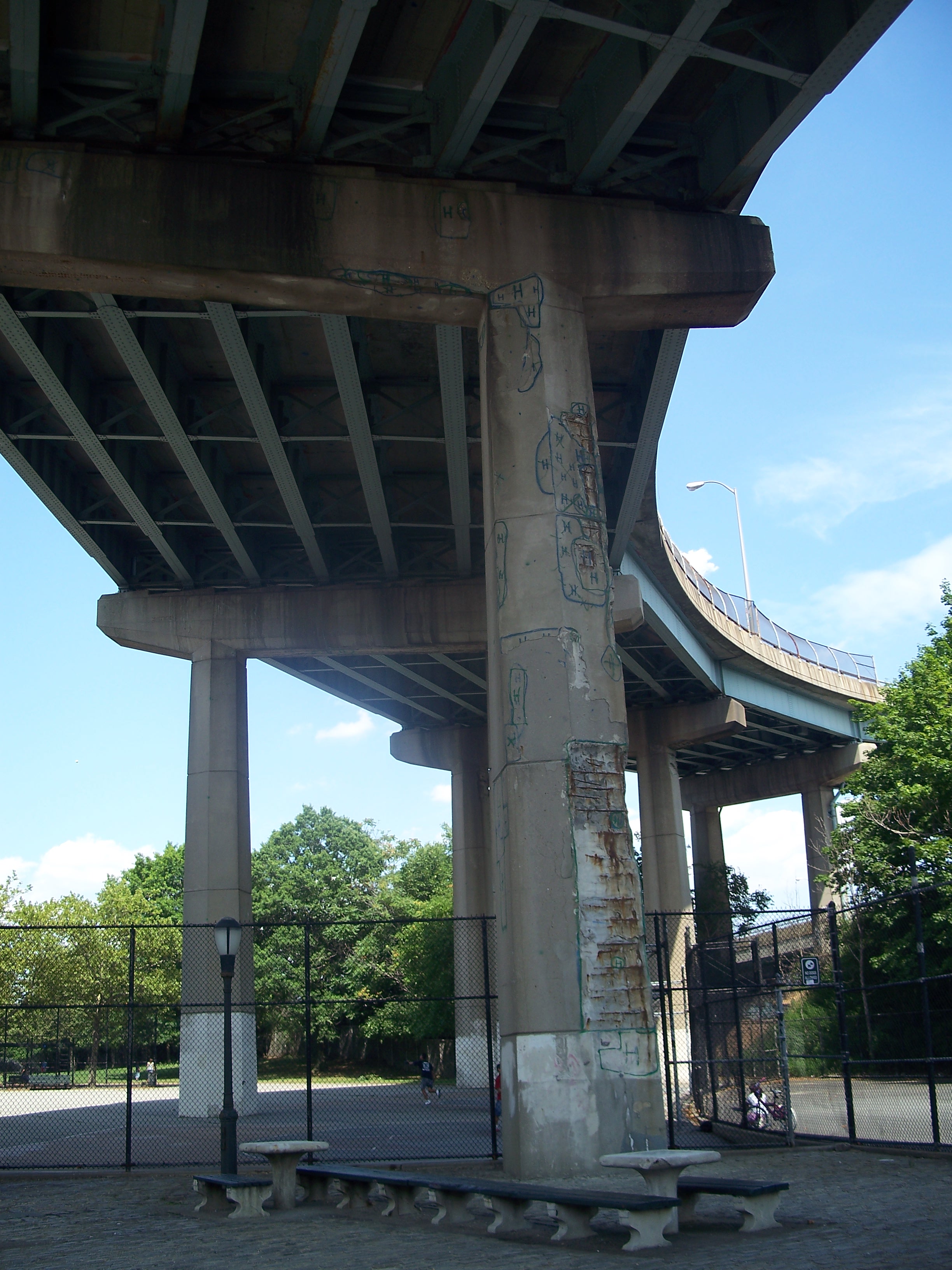
Under the Shore Parkway ramps to the bridge on Fort Hamilton Parkway

Under the Shore Parkway ramps to the bridge on Fort Hamilton Parkway

Spalling on ramp piers exposing the reinforcing rebar

Ramp from 92nd Street onto bridge approach

North approach to the bridge

Staten Island Museum exhibit on the bridge
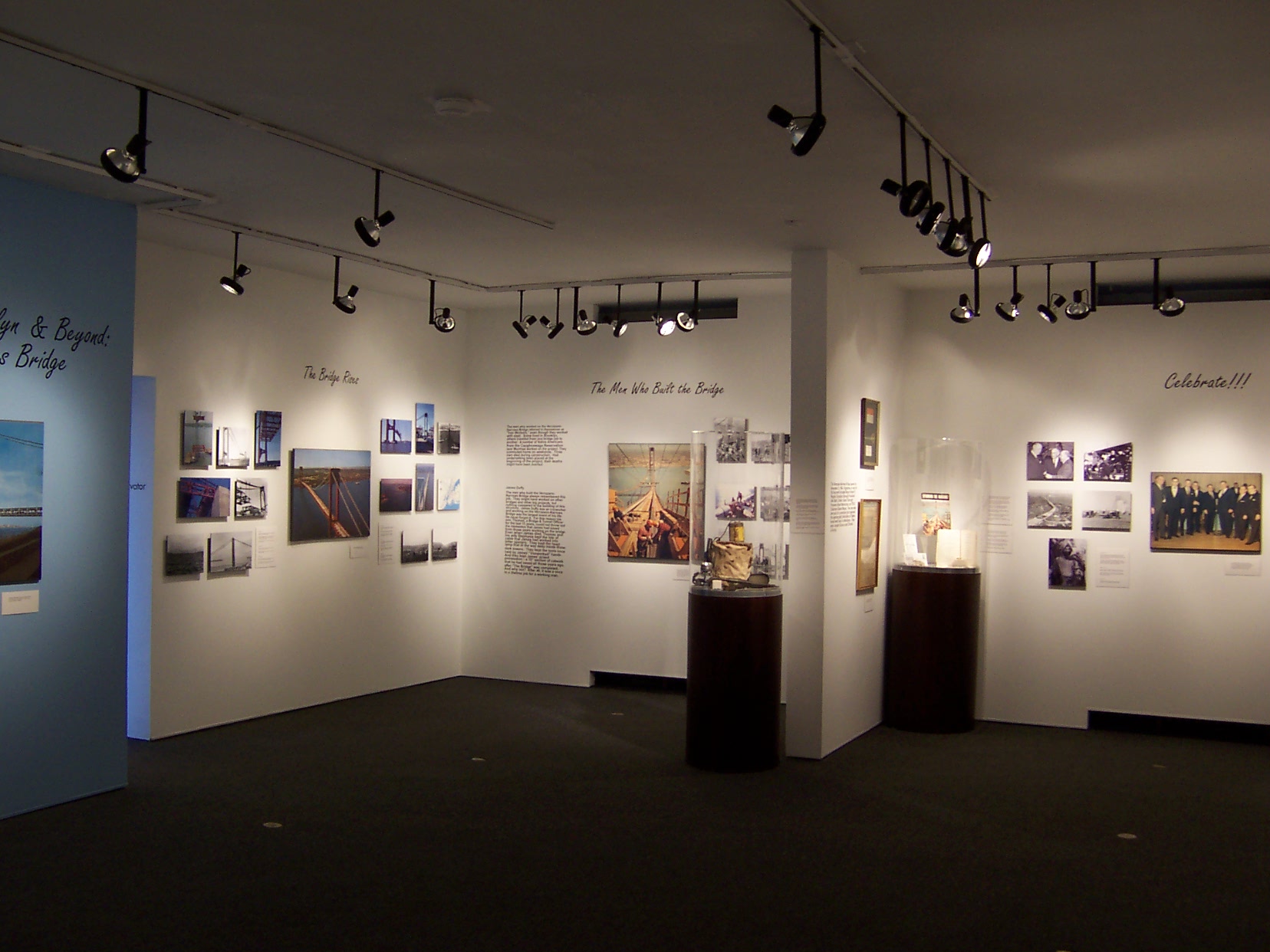
Staten Island Museum exhibit on the bridge

Staten Island Museum exhibit on the bridge