Port Richmond
The NSRR runs on a 0.8-mile-long concrete viaduct through Port Richmond. The viaduct was built to eliminate dangerous at-grade street crossings in the neighborhood. It was funded by the depression-era Federal Public Works Administration and cost around $2 million. Work began in 1934 and the viaduct opened on February 25, 1937 (NY Times 12/4/1933 and 2/24/1937).
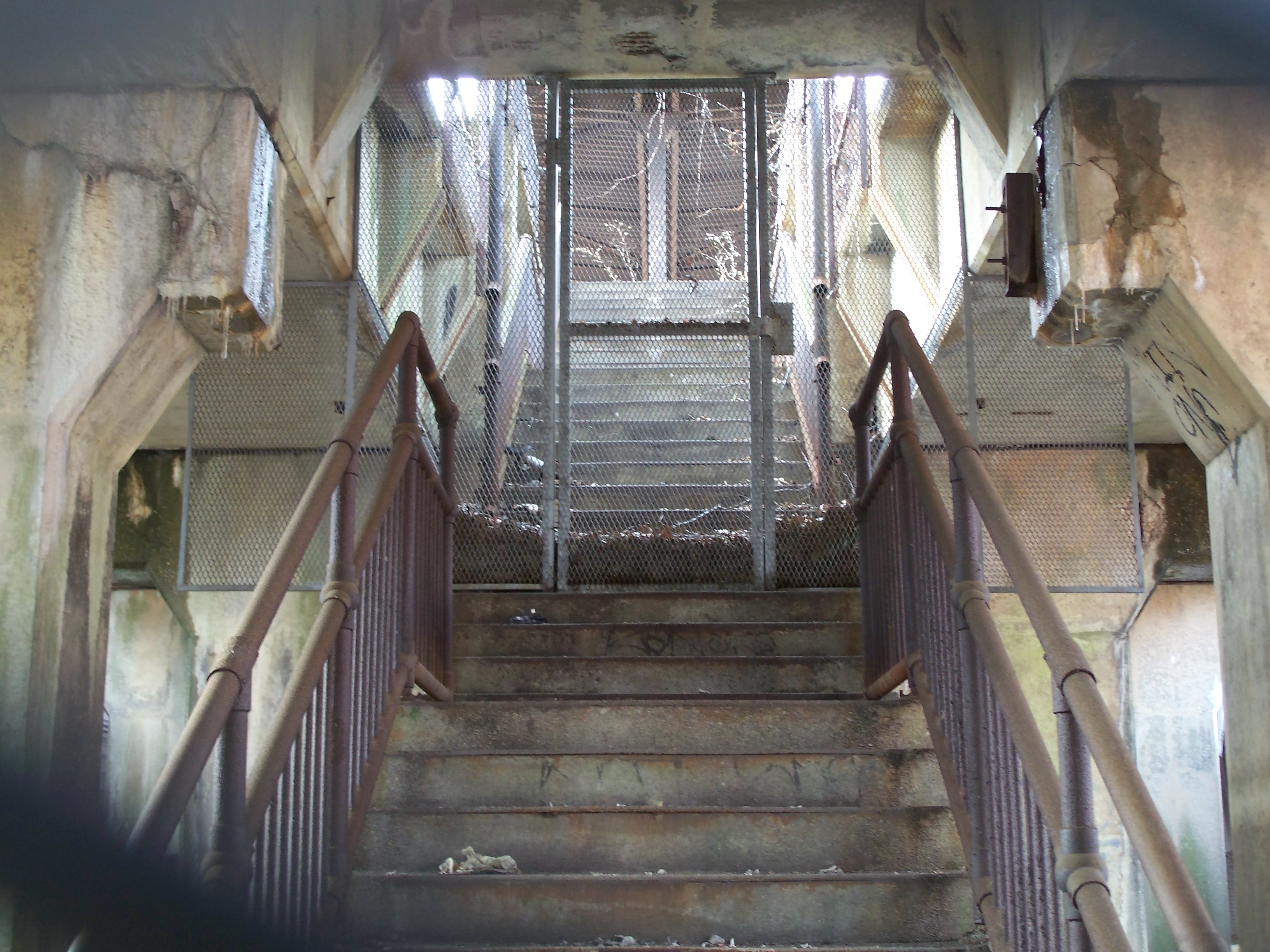
A 2000 inspection revealed the viaduct to be largely sound, although age, lack of maintenance and issues with ADA compliance would likely necessitate extensive repairs. Old station platforms and awnings still exist on the viaduct, although their poor condition and old design would probably require complete reconstruction. Consideration is also being given to replacement of the structure or demolition with restoration of the at-grade crossings - showing how easy it is to pursue short-term savings while failing to learn the lessons of history.
The viaduct begins its rise behind the water pollution control plant around Taylor Street.
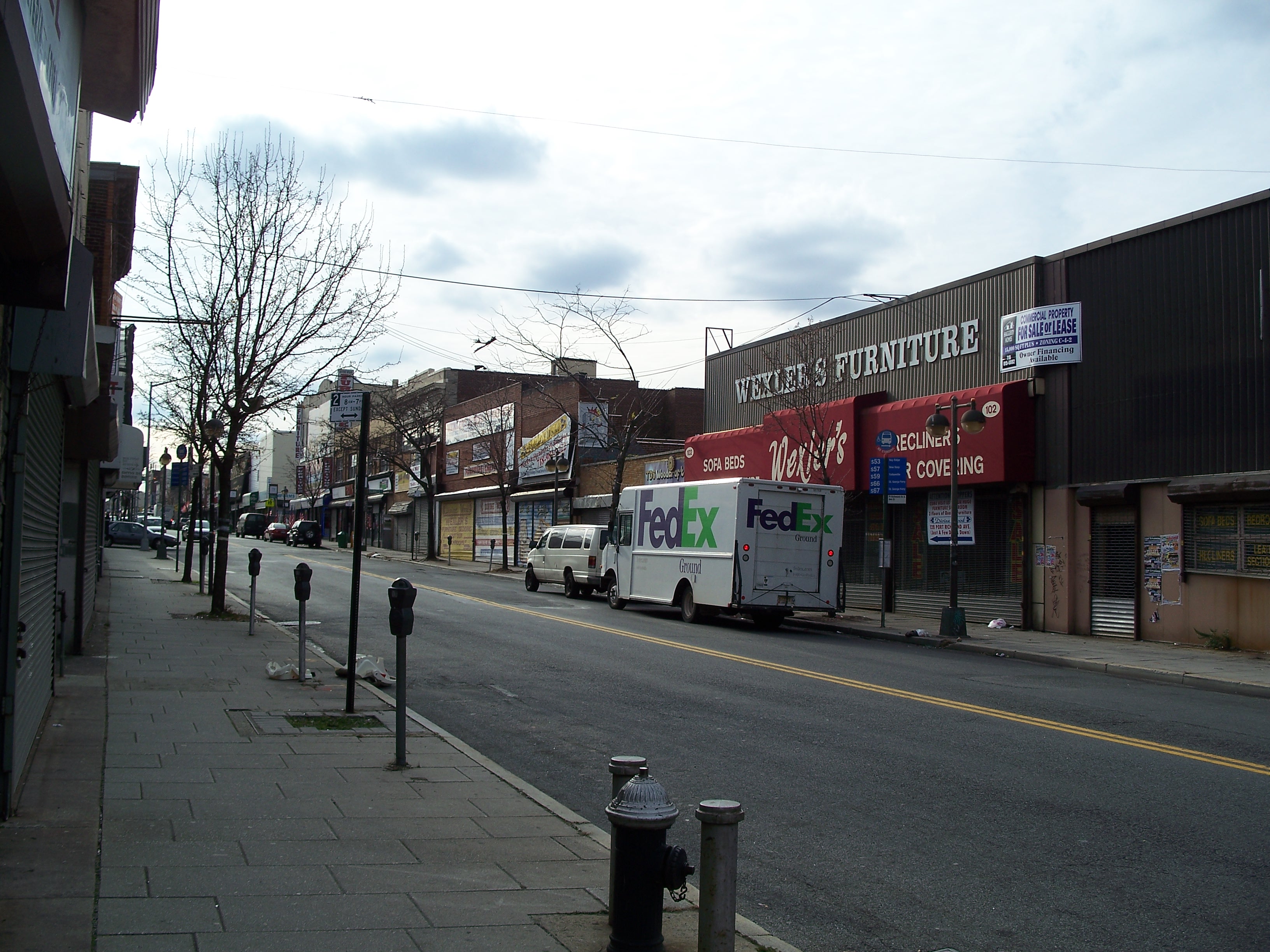
The Port Richmond station was between Park Avenue (a residential street) and Richmond Avenue, a street of diversified shopping.
While a bit worse for wear, reactivation of the rail line could well be a nice shot in the arm for the shopping area, broadening the pool of potential customers. The area is largely older housing stock (often in poor condition) that might also be ripe for higher-density redevelopment.

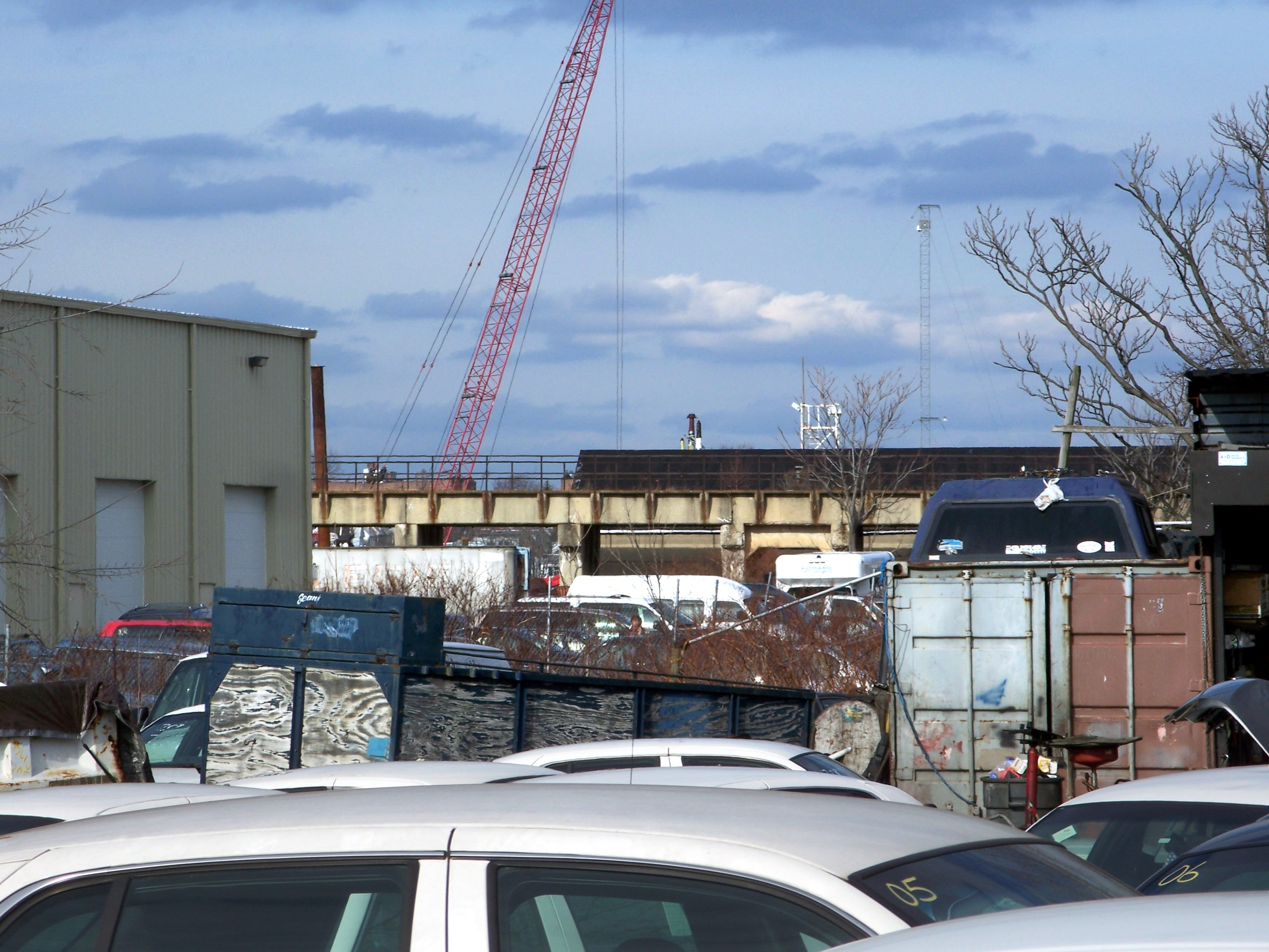
Pollution Control Plant

Viaduct behind Pollution Control Plant
Viaduct rising toward Richmond Terrace

Stream at Rector Street
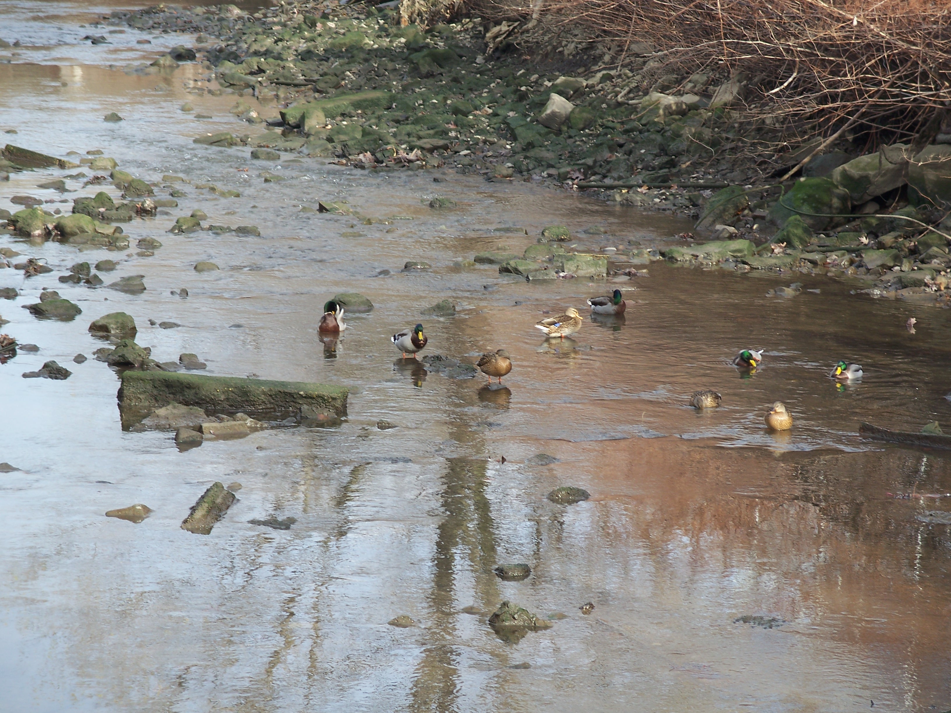
Ducks in the stream

TLC office 1893 Richmond Terrace
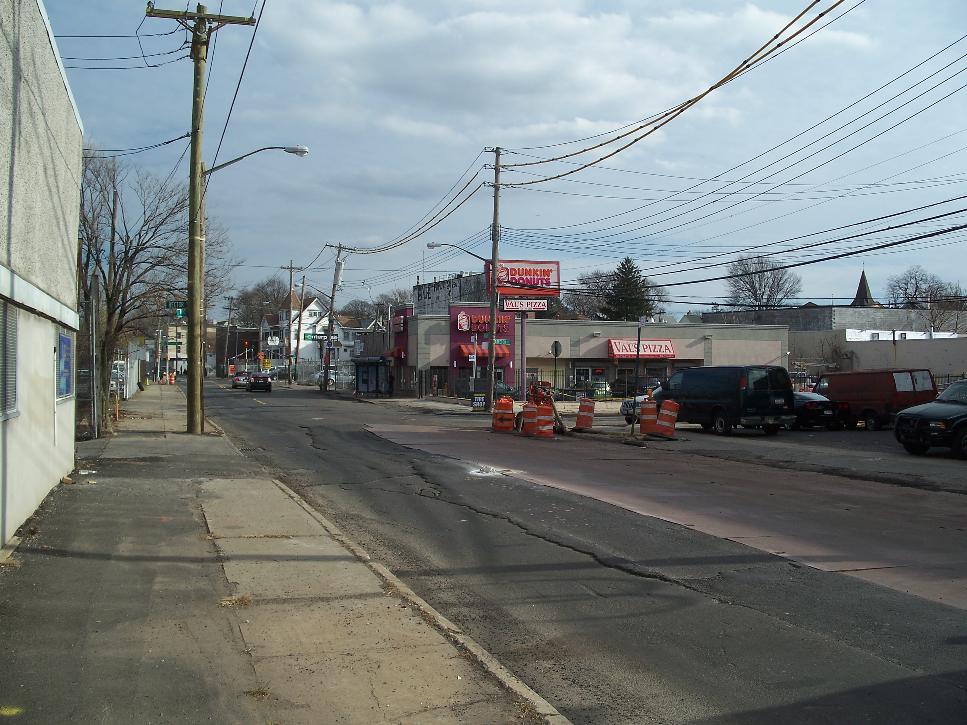
Richmond Terrace looking west from Rector Street

NYC DOT facility on Richmond Terrace
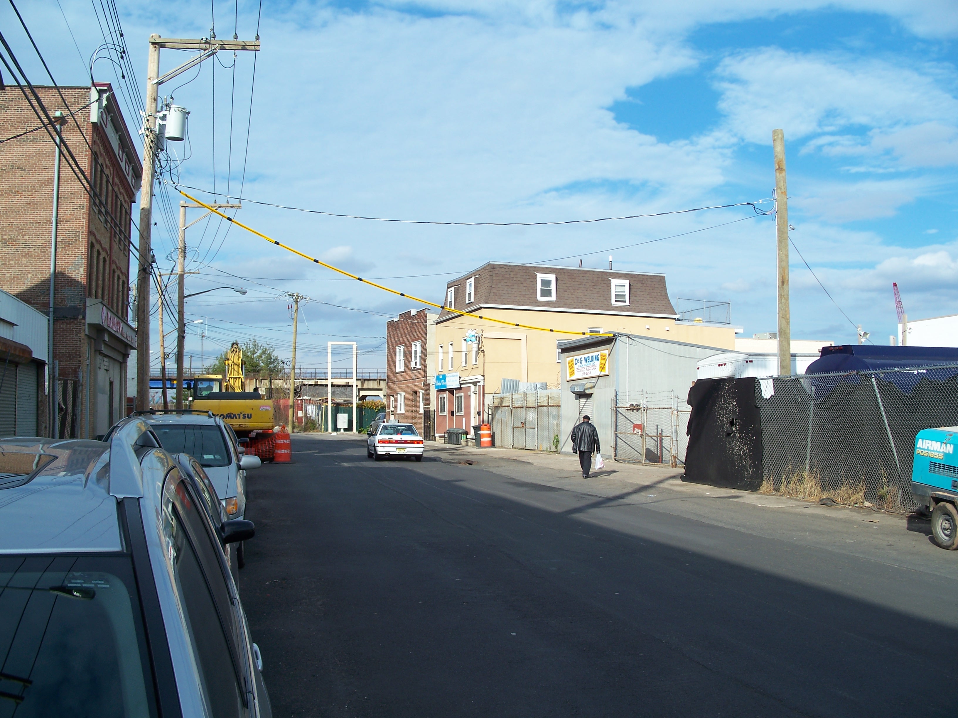
Richmond Terrace turning North

Viaduct approaching Richmond Terrace
Viaduct crossing Richmond Terrace

Viaduct crossing Richmond Terrace

Sidewalk on Richmond Terrace under viaduct

Viaduct ceiling

Viaduct piers looking west
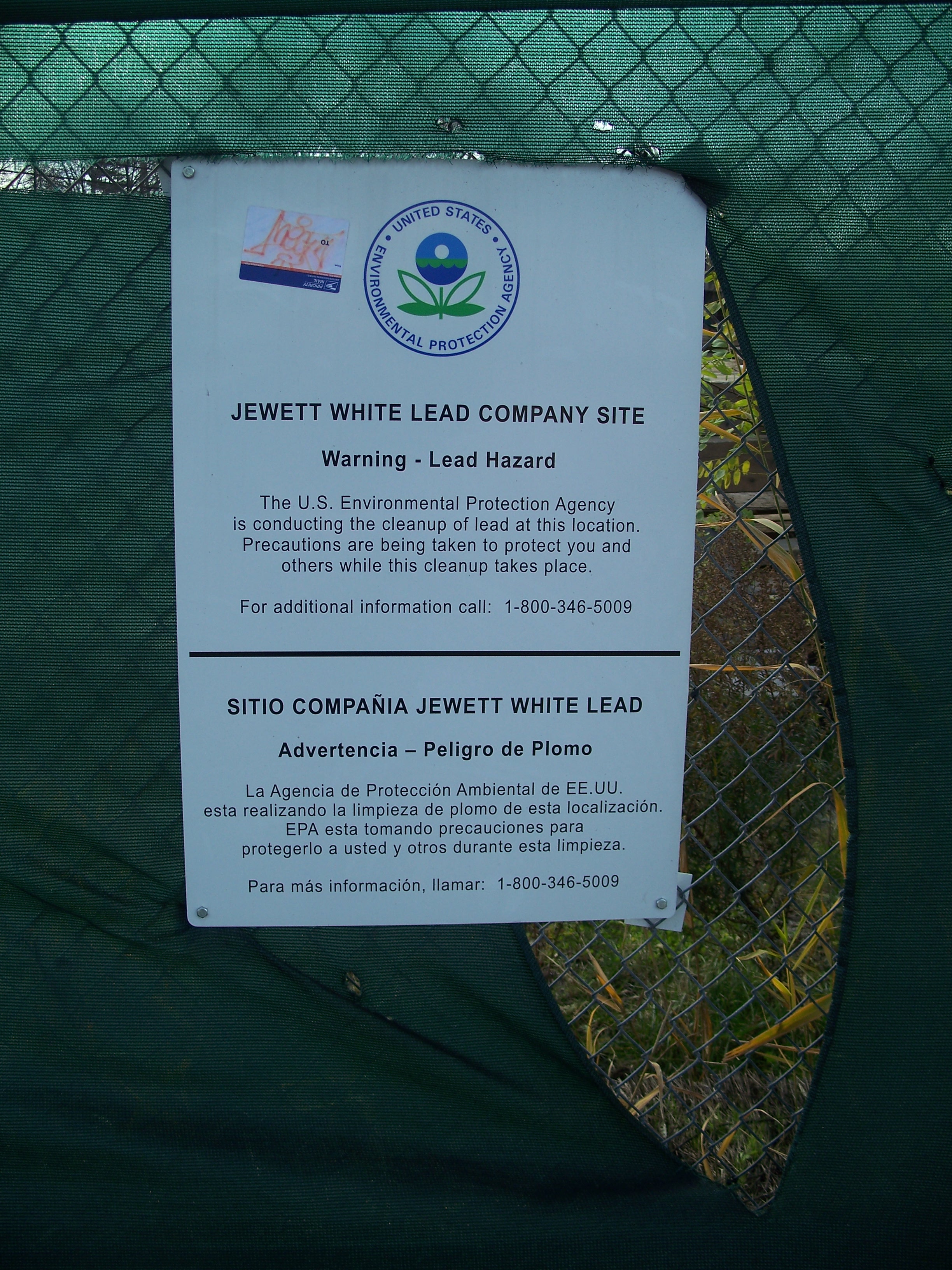
Jewett Lead Company EPA remediation sign
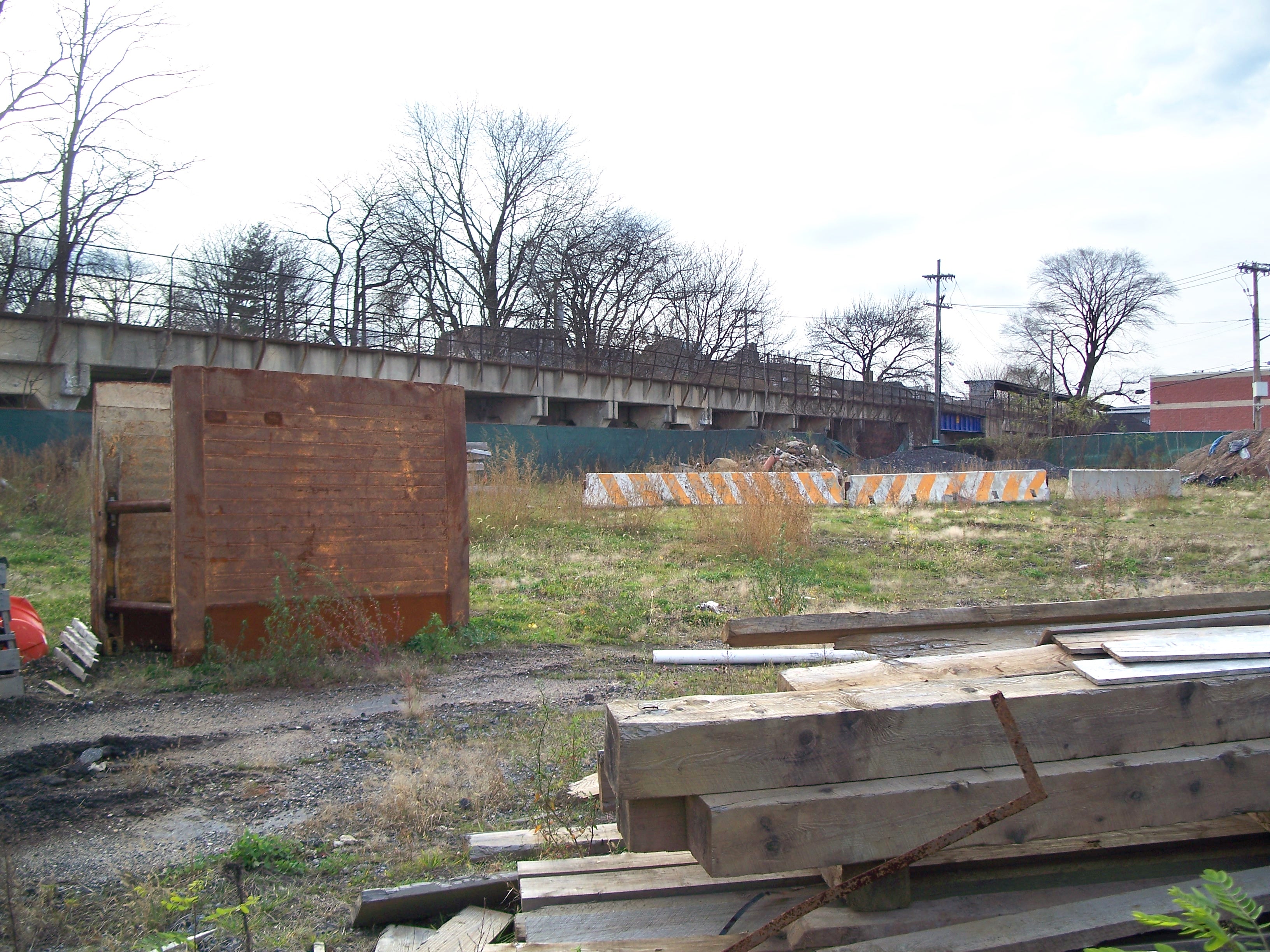
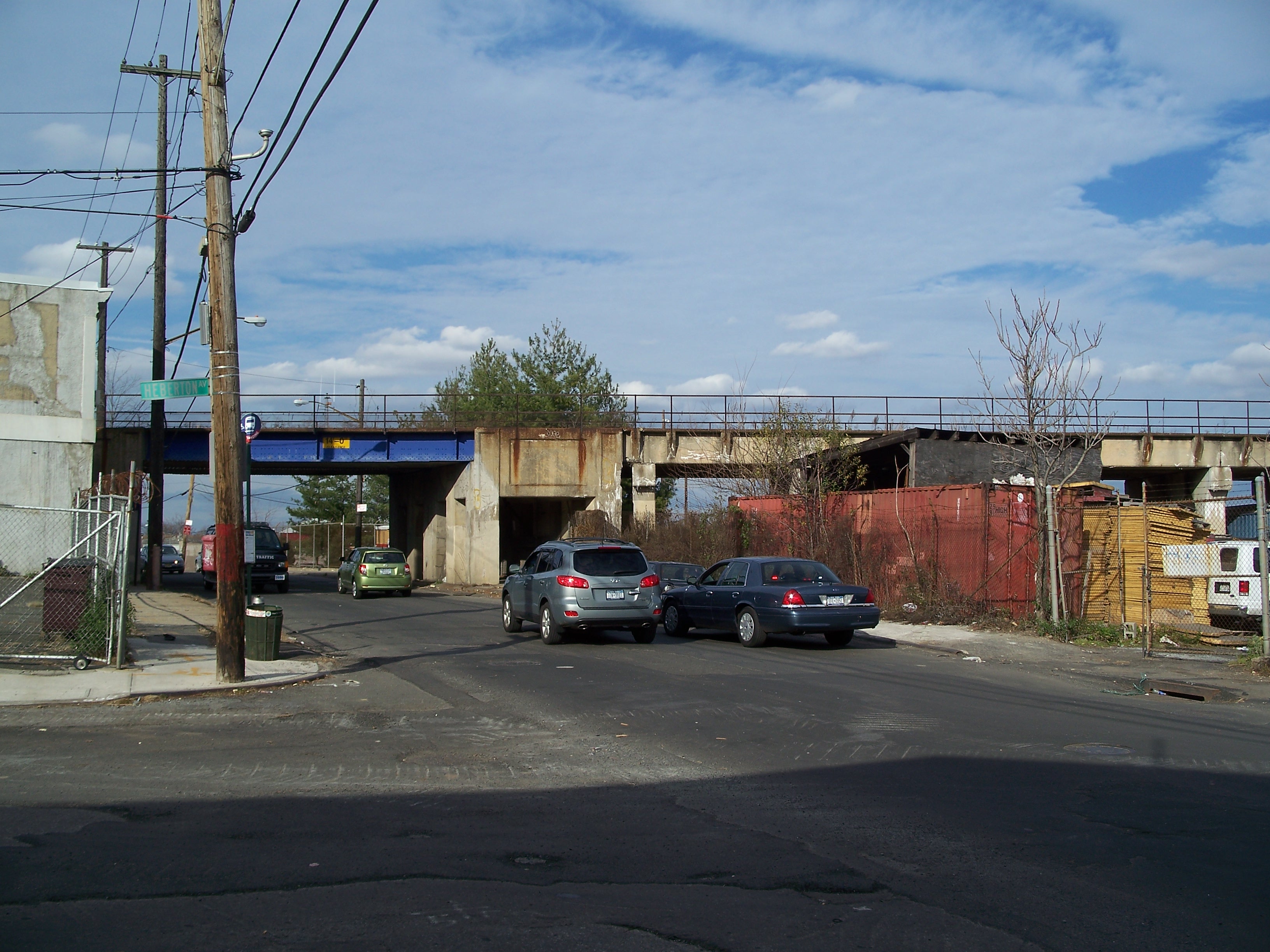
Viaduct headed west past Jewett Lead Co. site

Viaduct over Richmond Terrace

Reinaur Tugboats

Reinaur Tugboats

Port Richmond Station at Park Ave. - westbound platform

Park Ave. Bridge - 1935

Stairway to platform
Stairway to platform

Port Richmond Station awning

Port Richmond Station awning

Viaduct over Park Avenue

Viaduct over Park Avenue

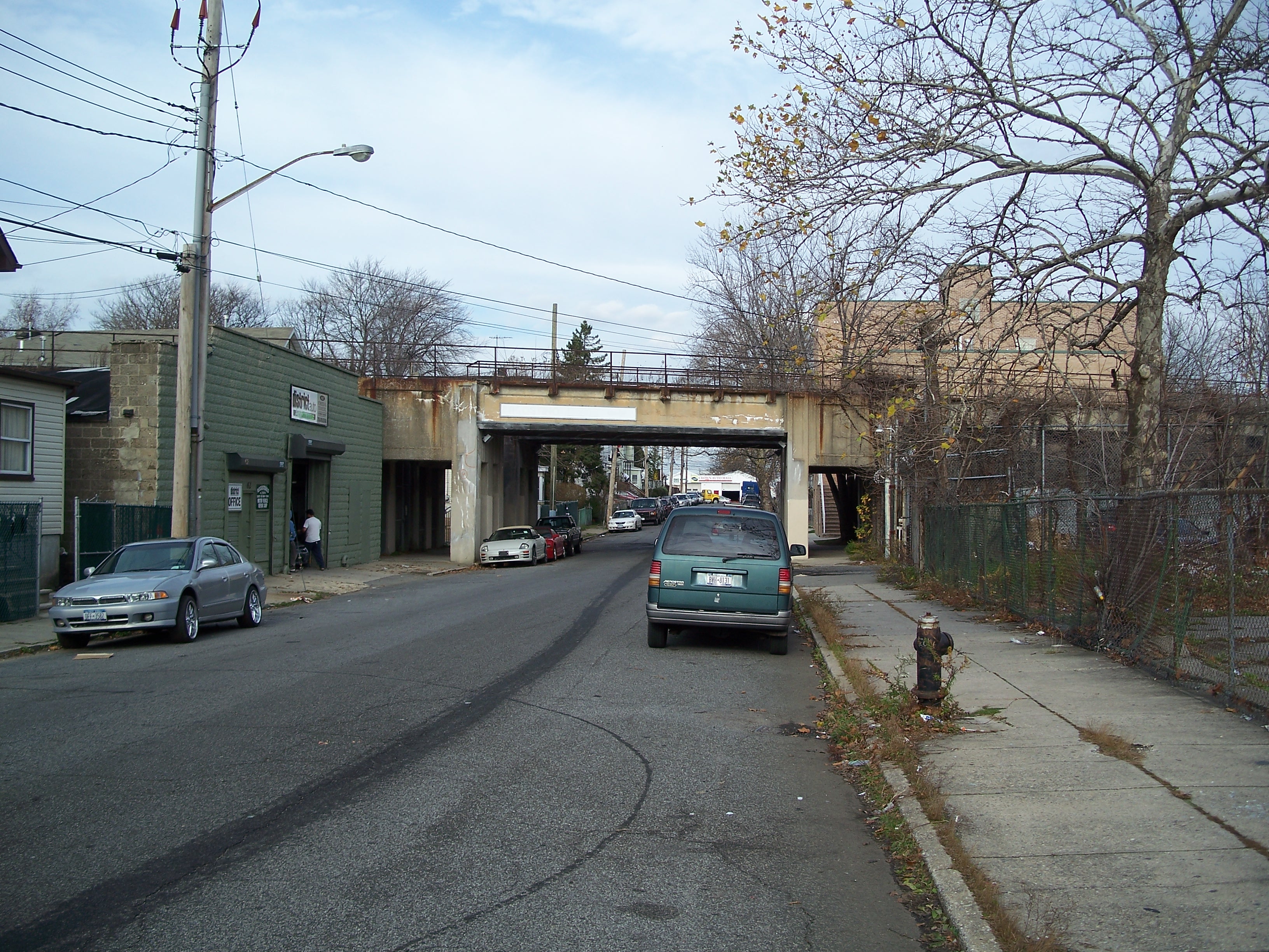
Viaduct over Port Richmond Avenue
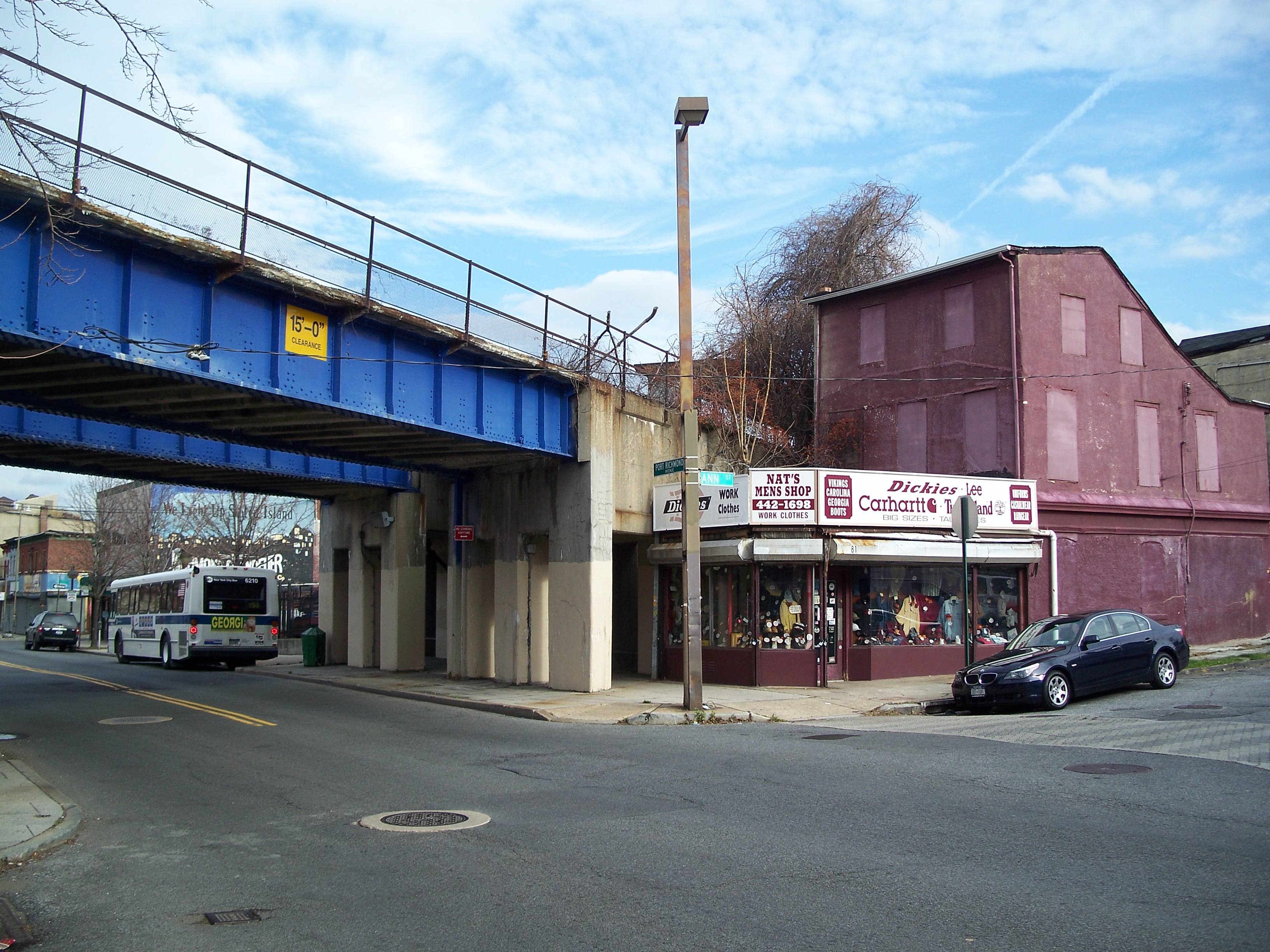
Nat's Men's Shop
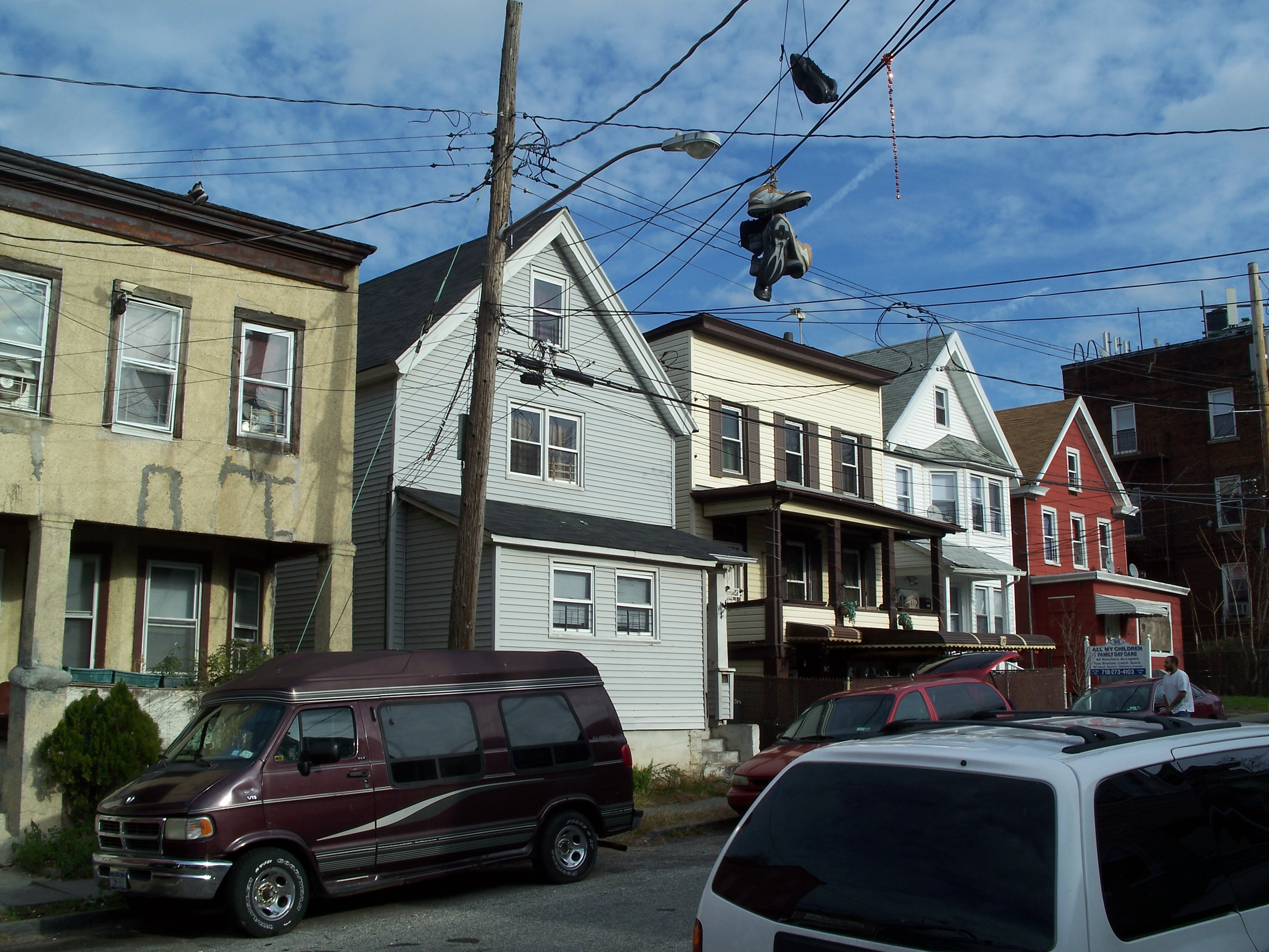
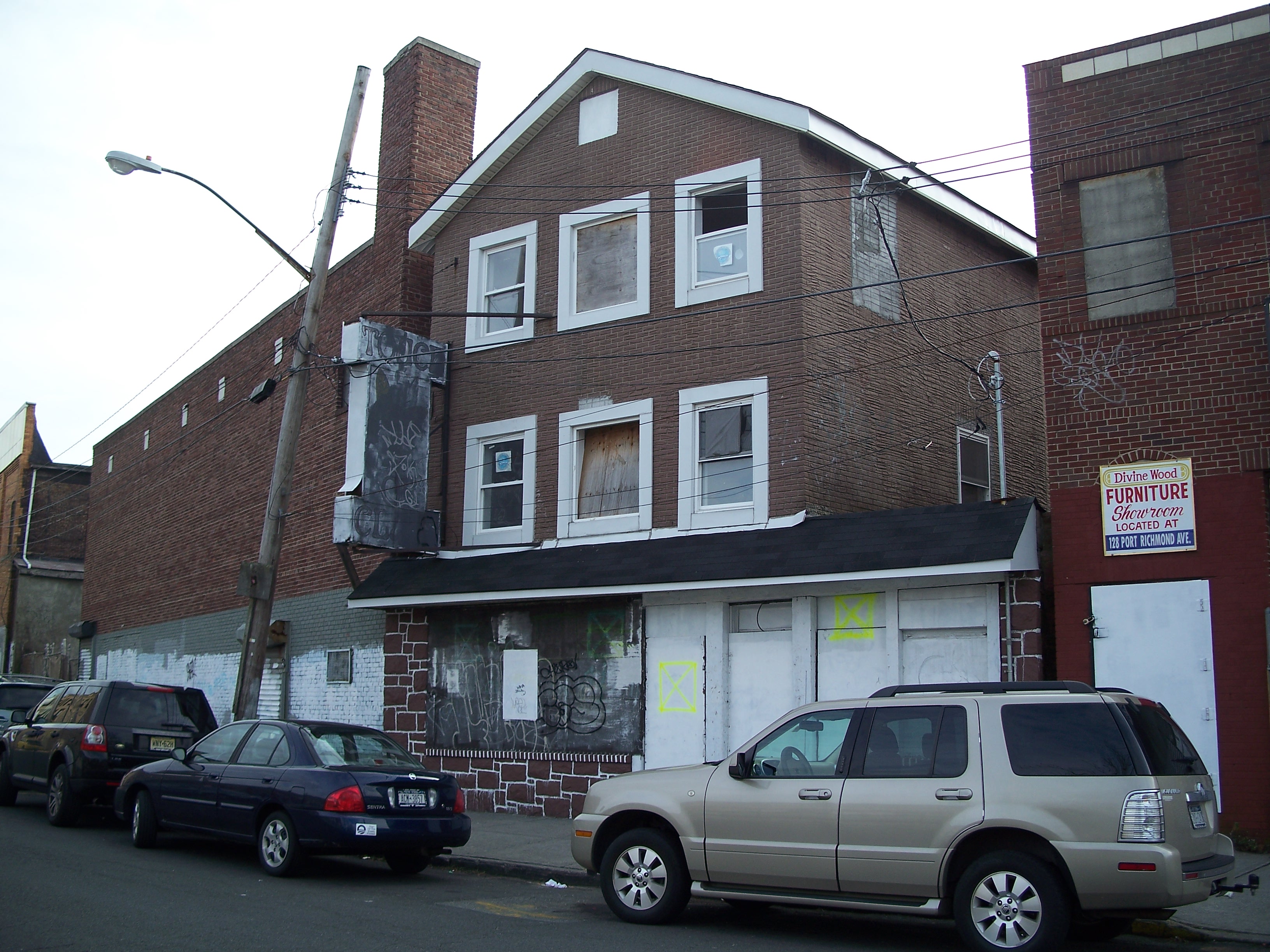
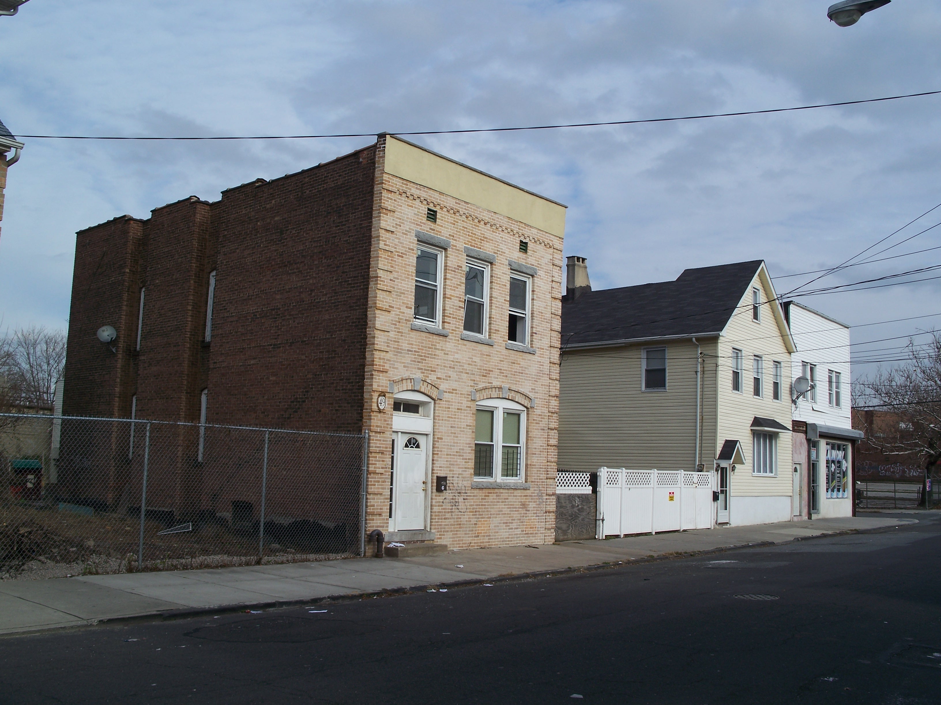
Old residential stock on Ann Street

Under the viaduct

Concrete stringers

Spalling

Stairway up to platform

Twin spans
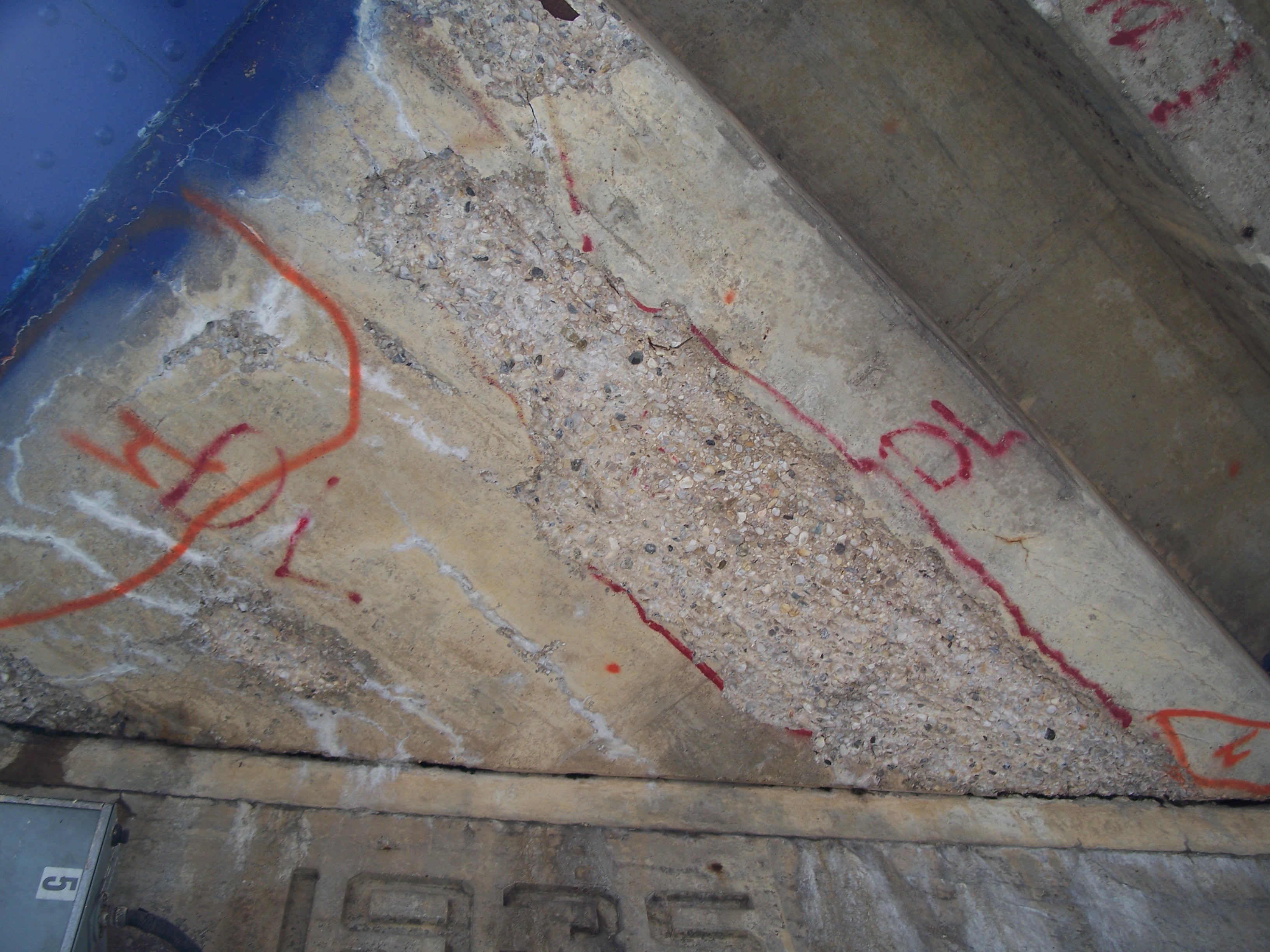
Spalling

Looking west under the viaduct
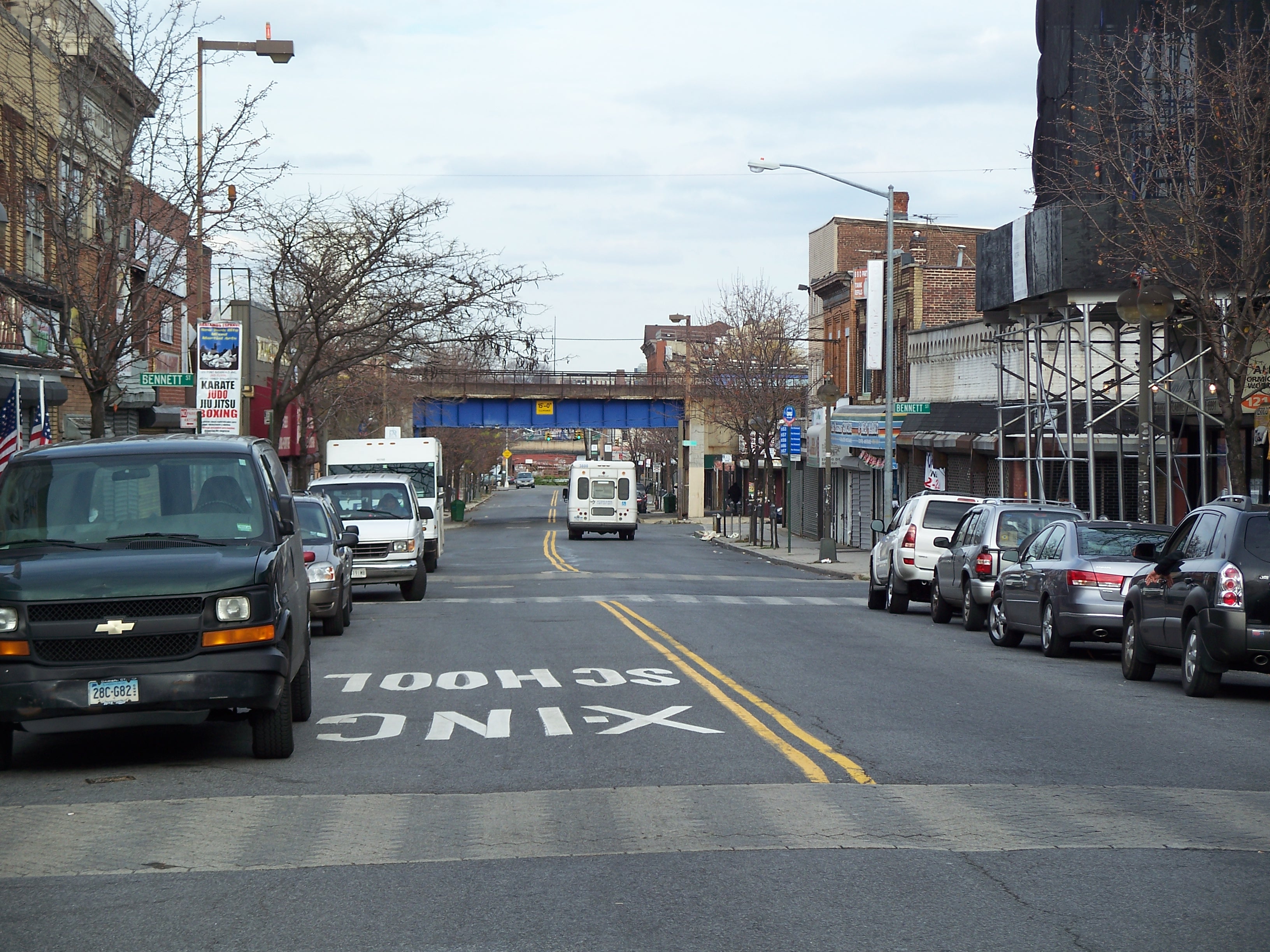
Viaduct at the end of Port Richmond Avenue mall
Port Richmond Avenue shops
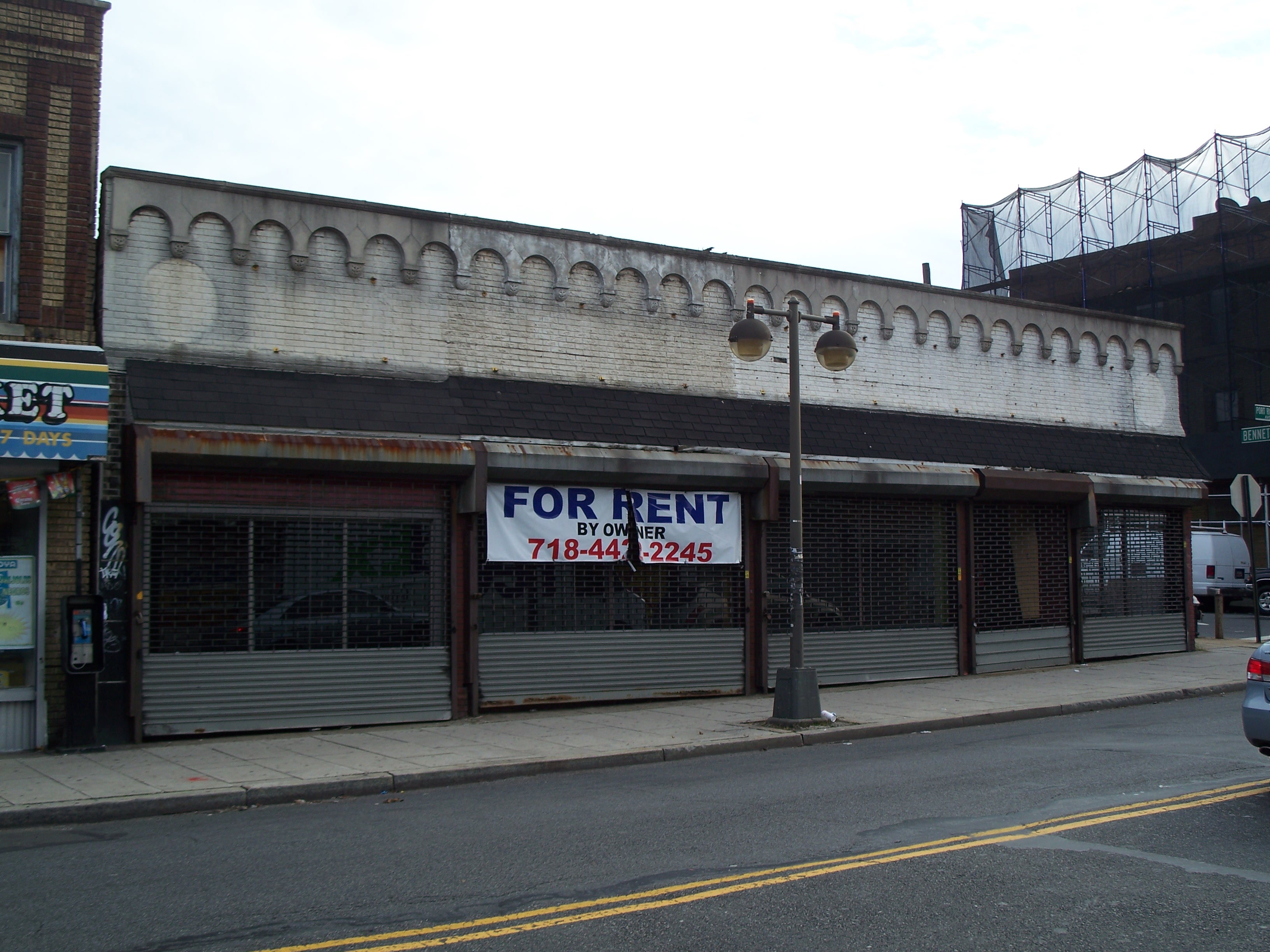
Empty storefront

Port Richmond Avenue shops

Port Richmond Avenue shops
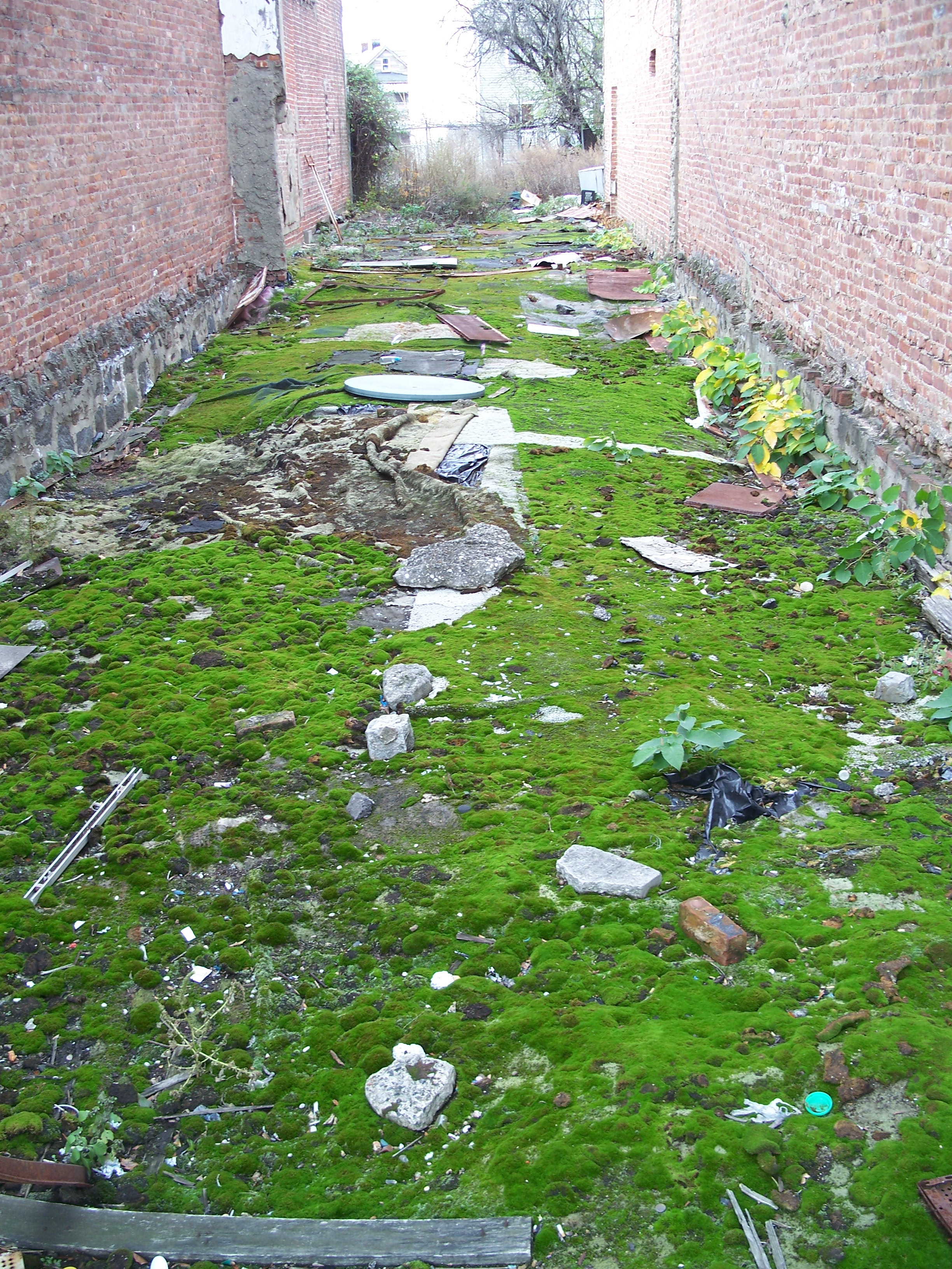
Mossy vacant slot
Grove Avenue

Maple Street at Grove Avenue
Viaduct over Maple Street
Grove Avenue at Faber Street

Viaduct over Faber Street
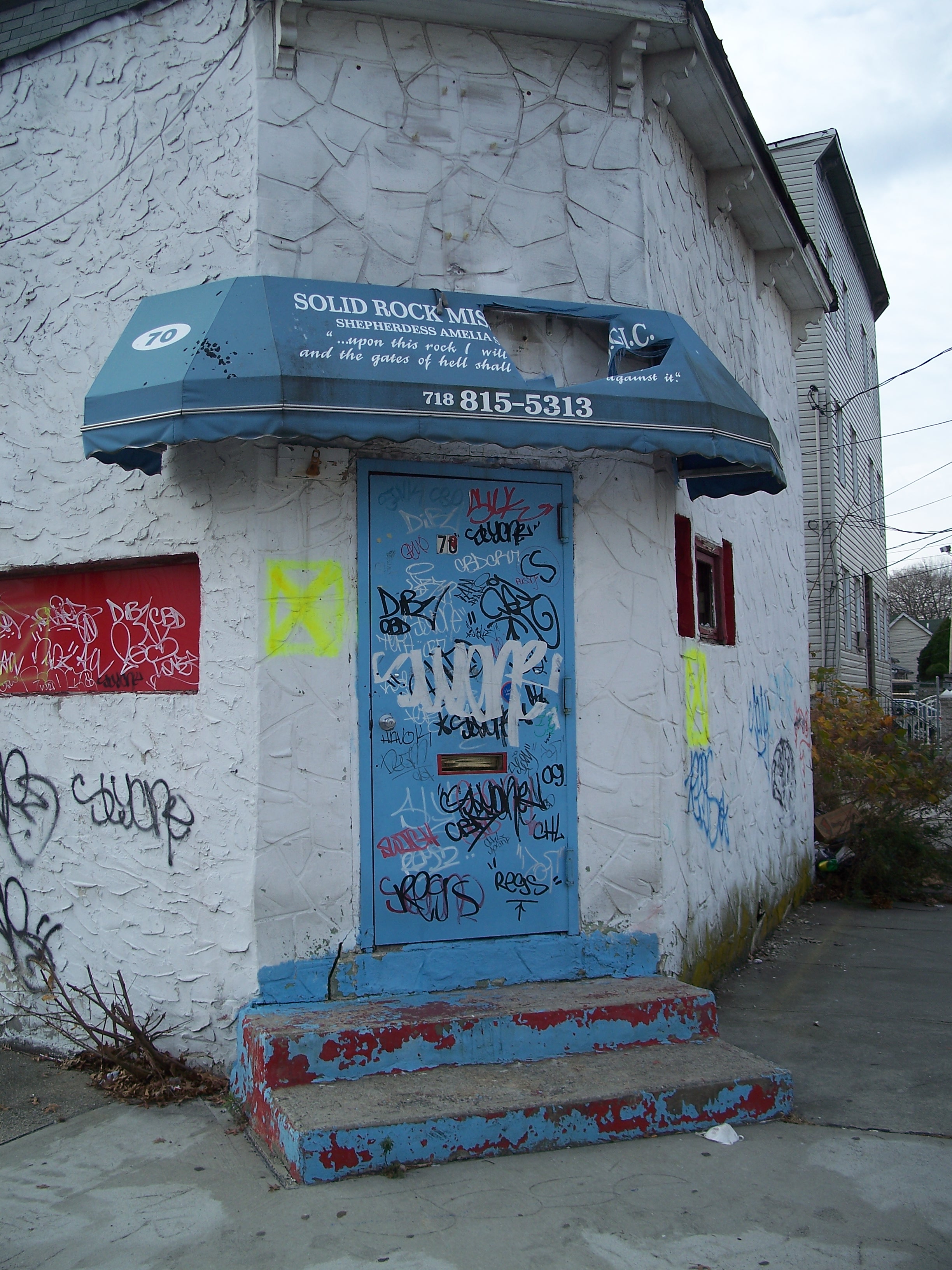
Solid Rock Ministries - 70 Grove Avenue