Mariner's Harbor / Arlington
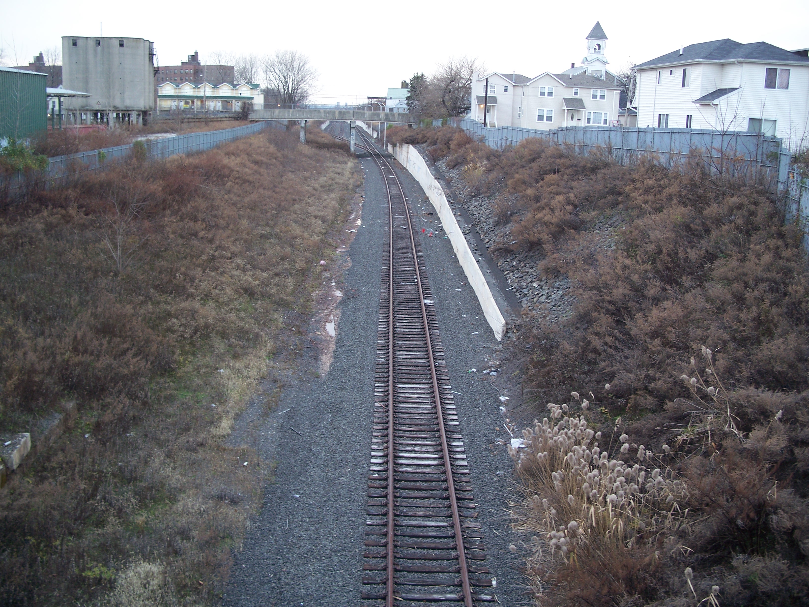
Mariner's Harbor was a center-platform station that sat between Van Pelt Avenue and Erastina Place.
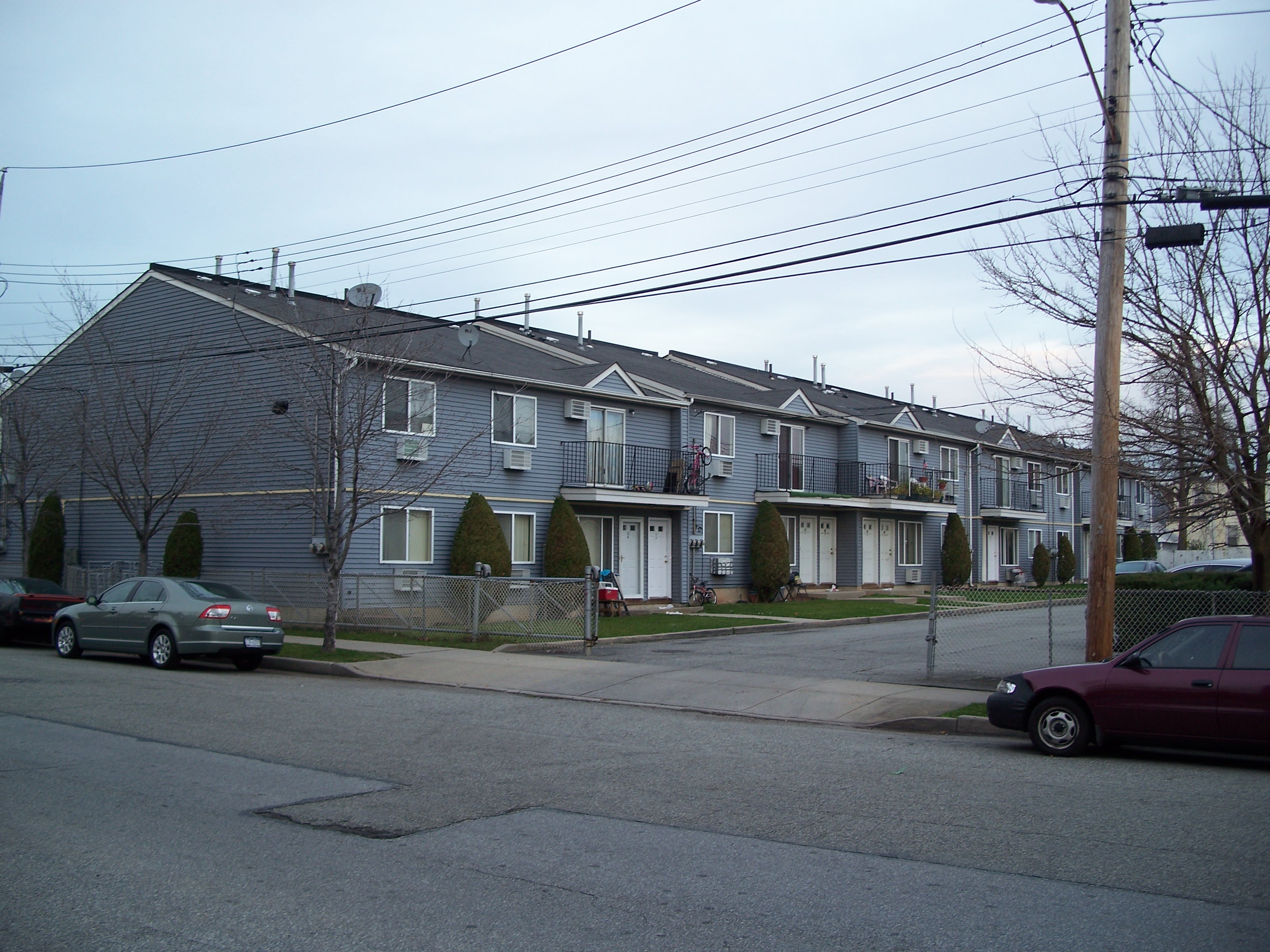
Mariner's Harbor houses is a dreary high-rise development from 1953, which seems to have opened just as the NSRR line was closing. Whether that was by Robert Moses' design or not, it likely served to further isolate the low income residents by making them dependent on slow city buses for mobility.
Harbor Road was the penultimate stop on the North Shore line. The far western part of the line has been reactivated for freight service to the New York Container Terminal in Howland Hook. The restored line begins with a single track just west of Union Road, proceeds under Harbor Road and expands to five tracks just west of South Road. The Travis Branch also splits off of the line just east of South Road and continues down the West Shore to an electrical plant.
Arlington was the terminating station on the North Shore line at South Road. No traces of the old station remain. There has never been regular passenger rail service beyond South Road and there are no plans to add it. Adding a stop in Howland Hook might be helpful for some New York Container Terminal employees, but limited potential patronage and possibility of contention with freight service might not make an additional stop worth the cost. The area west of South Road and south of the ROW is largely undeveloped and is a potential location for an additional rail yard and / or a new maintenance facility.

Mariner's Harbor station

Mariner's Harbor station

Van Pelt Ave. bridge over ROW

Unused power line over ROW

Canopy supports
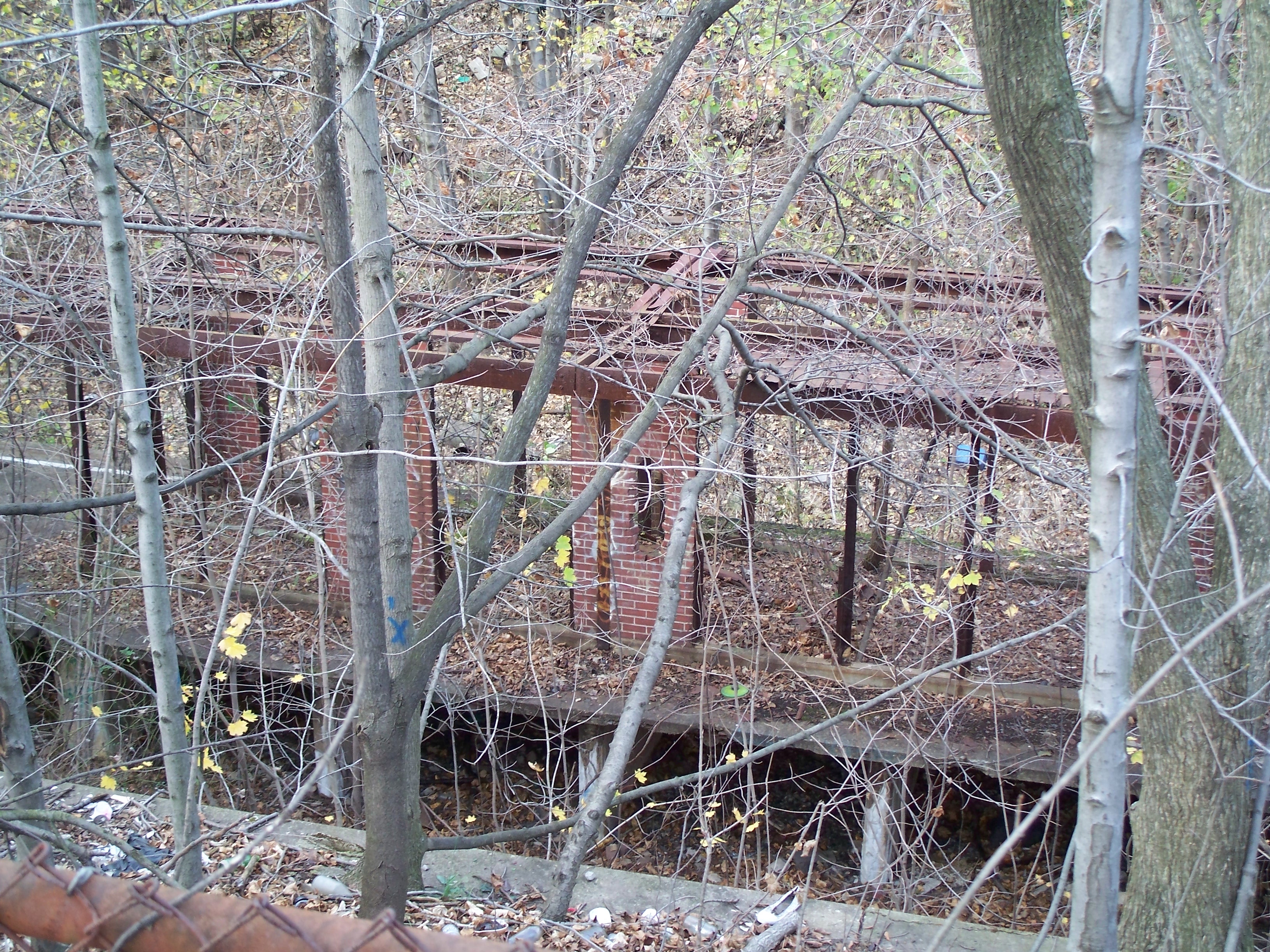
Brickwork

Mariner's Harbor station

Mariner's Harbor station

Overgrowth

West edge of platform

Linden Ave. along south edge of ROW
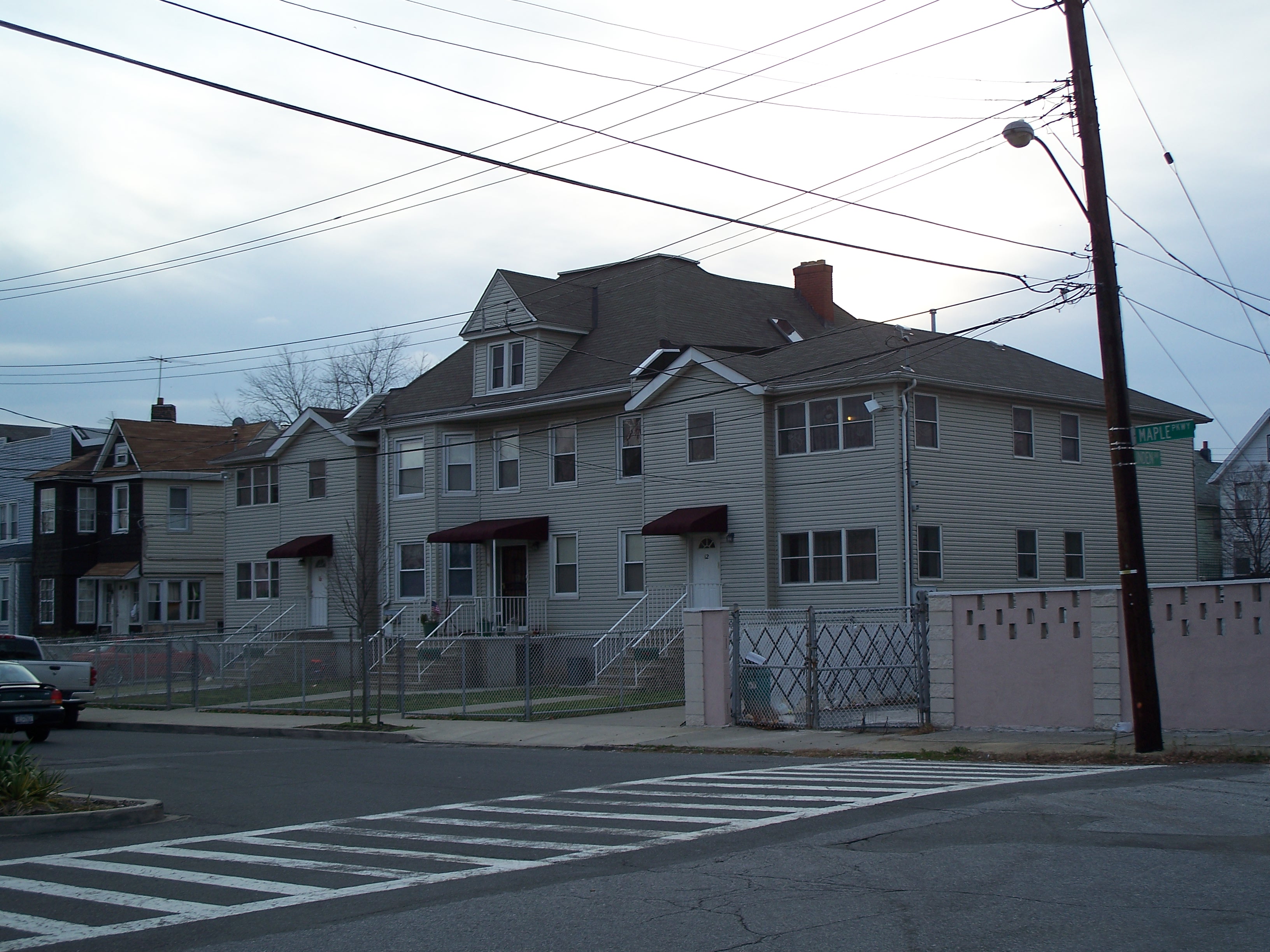
Maple Parkway

Maple Parkway

Arthur Drier and Son

Union Avenue

Disused silos on Leyden Ave btw Union Ave and Harbor Road
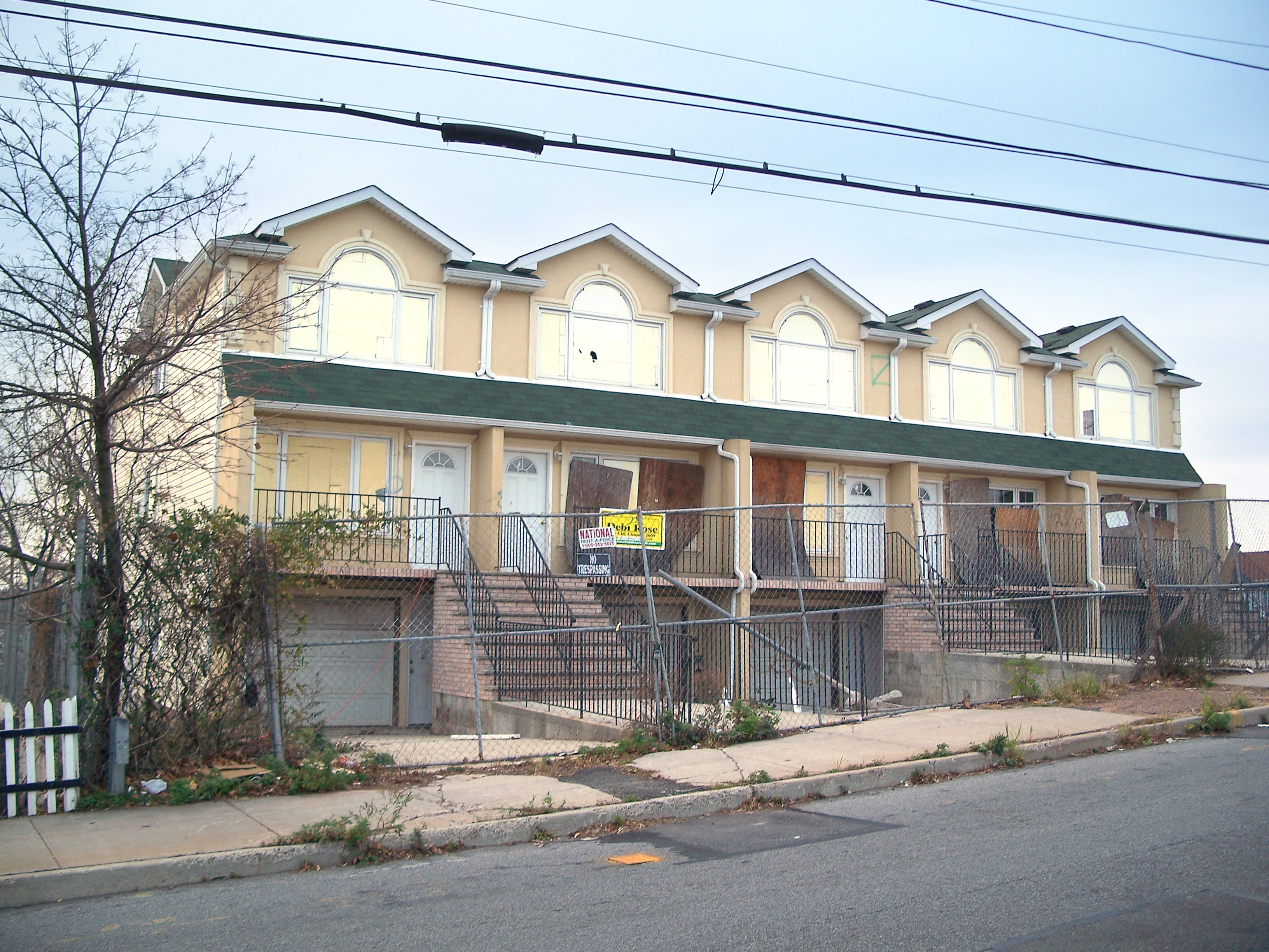
Abandoned townhouse development on Harbor Road
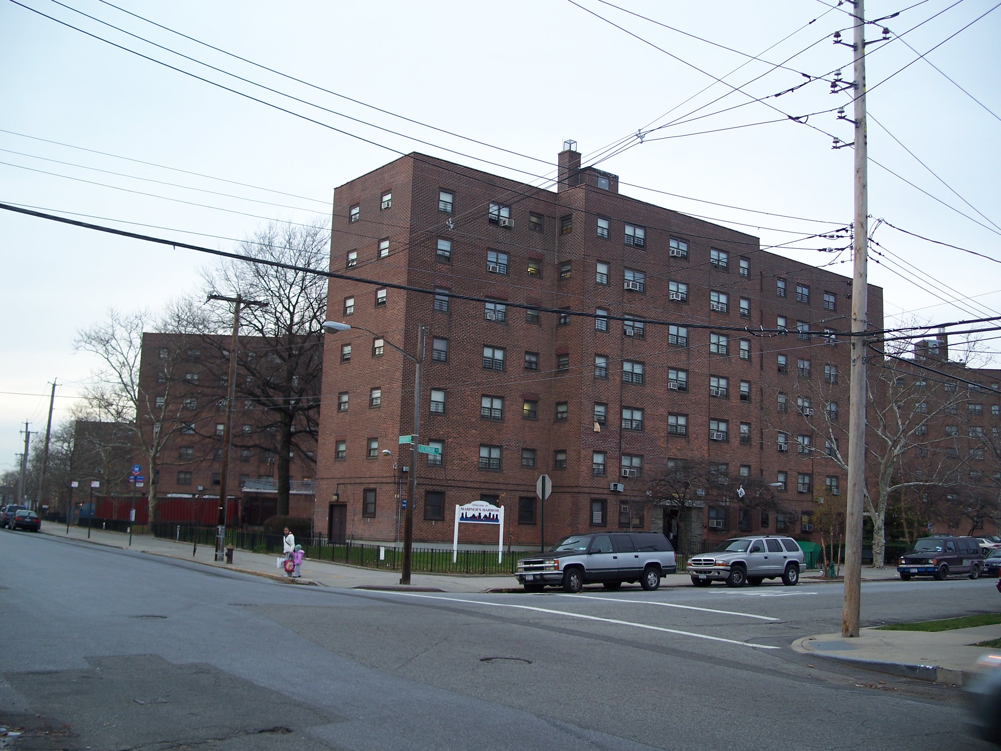
Mariner's Harbor Houses

Mariner's Harbor Houses

Management Office

Building plaque - notice Robert Moses not included

Mariner's Harbor Houses

Mariner's Harbor Houses

Mariner's Harbor Houses

Mariner's Harbor Houses
Lockman Loop just east of Mariner's Harbor Houses

Mill north of ROW and Mariner's Harbor Houses
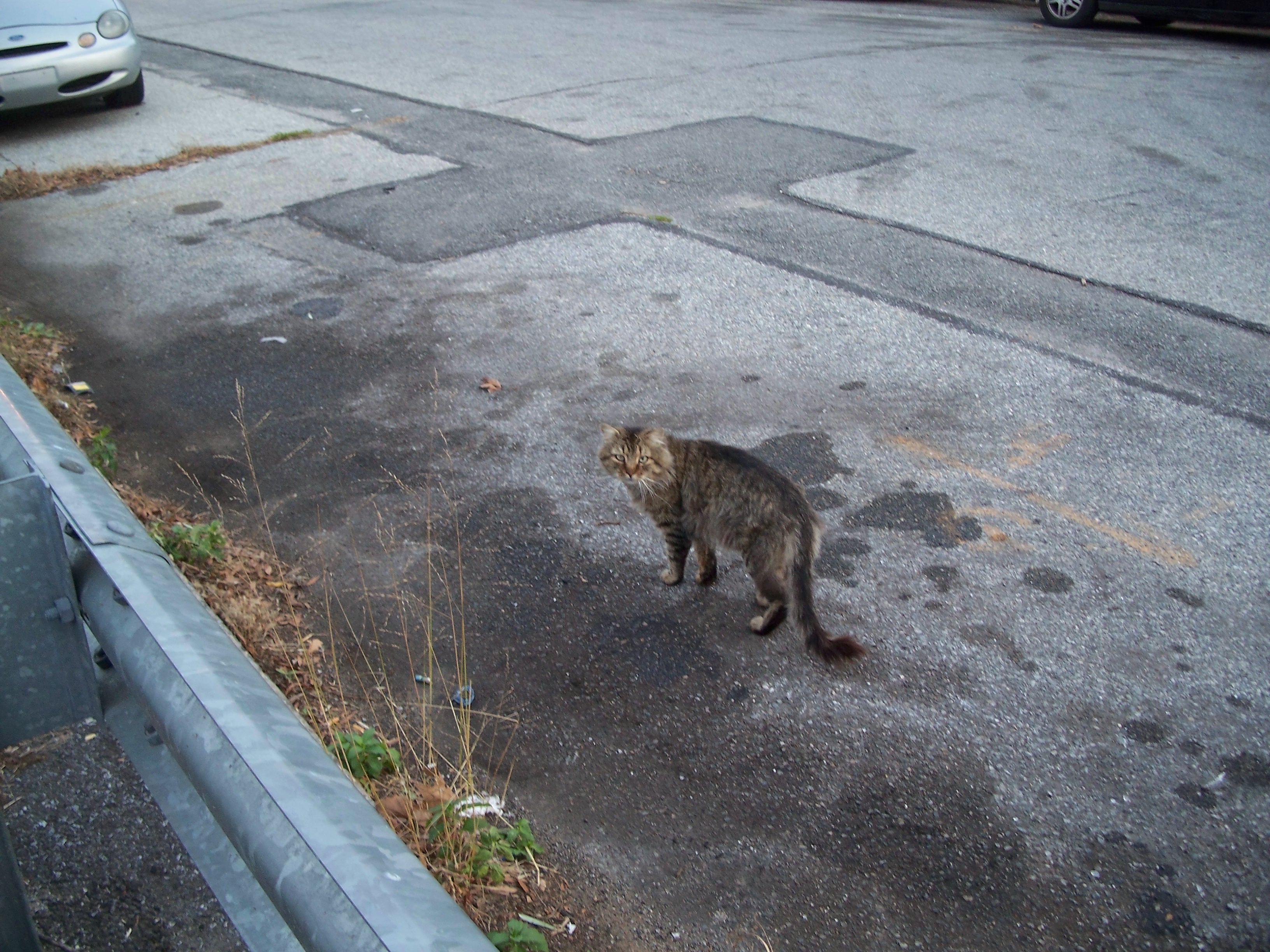
El gato

Pentecostal Tabernacle, 183 Harbor Road

Survivor walkup, Harbor Road

St. Michael's Church
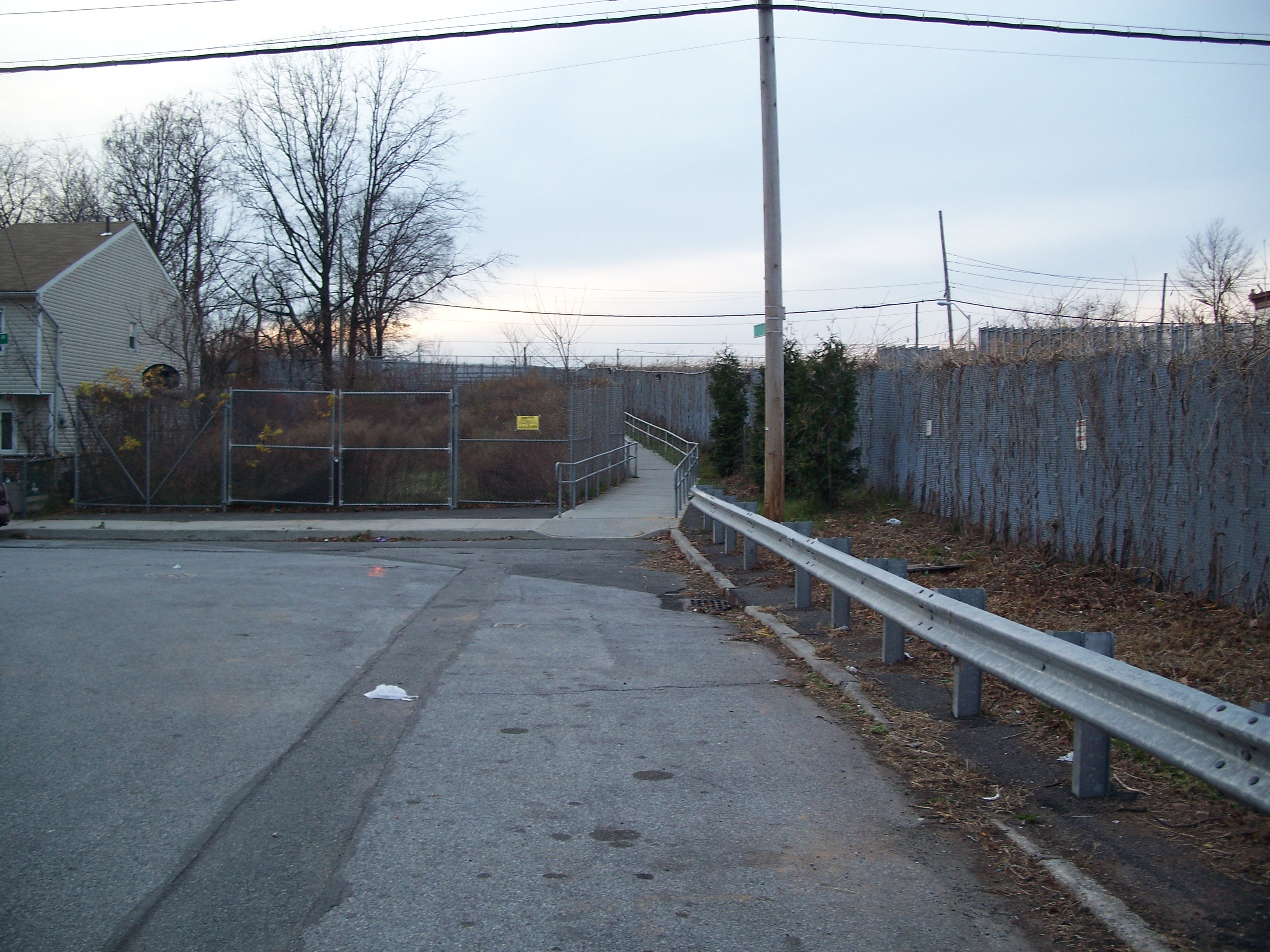
Pedestrian passage to South Road Bridge

House on South Road

South Road bridge
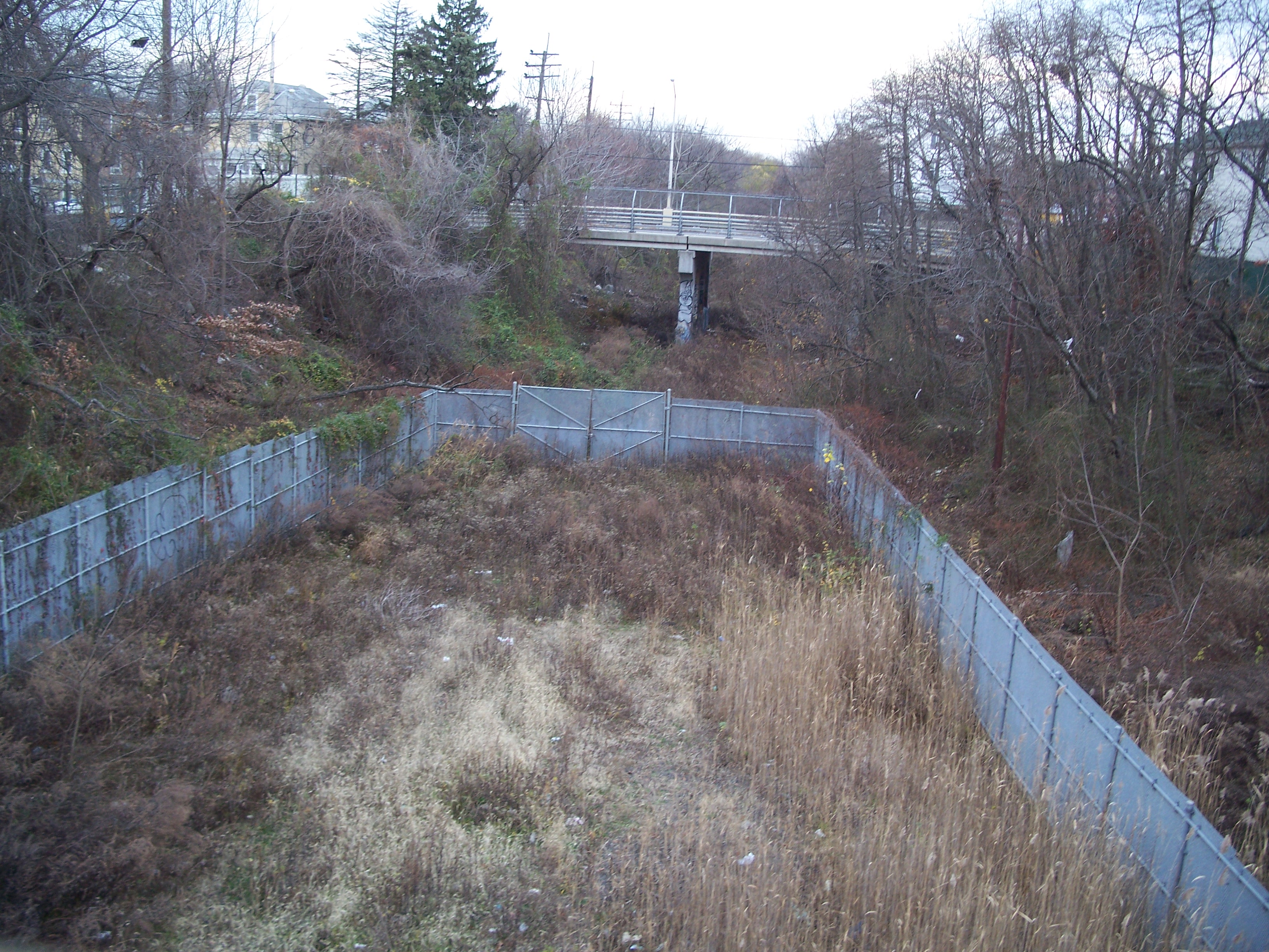
ROW enclosure east of Union Avenue

Restored rail line west of Union Avenue
Single rail line west from Union Avenue

Restored rail line west of Union Avenue

Restored rail line running under Union Avenue bridge

Harbor Road Bridge, Summerfield United Methodist Church
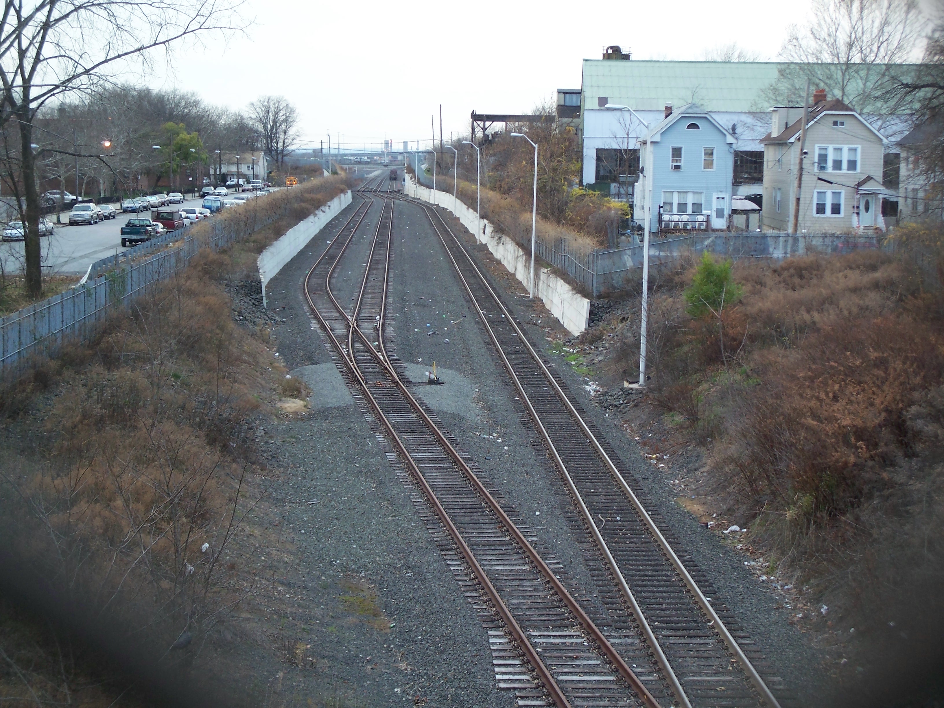
Rail line splitting to three tracks west of Harbor Road

Conrail - No Trespassing
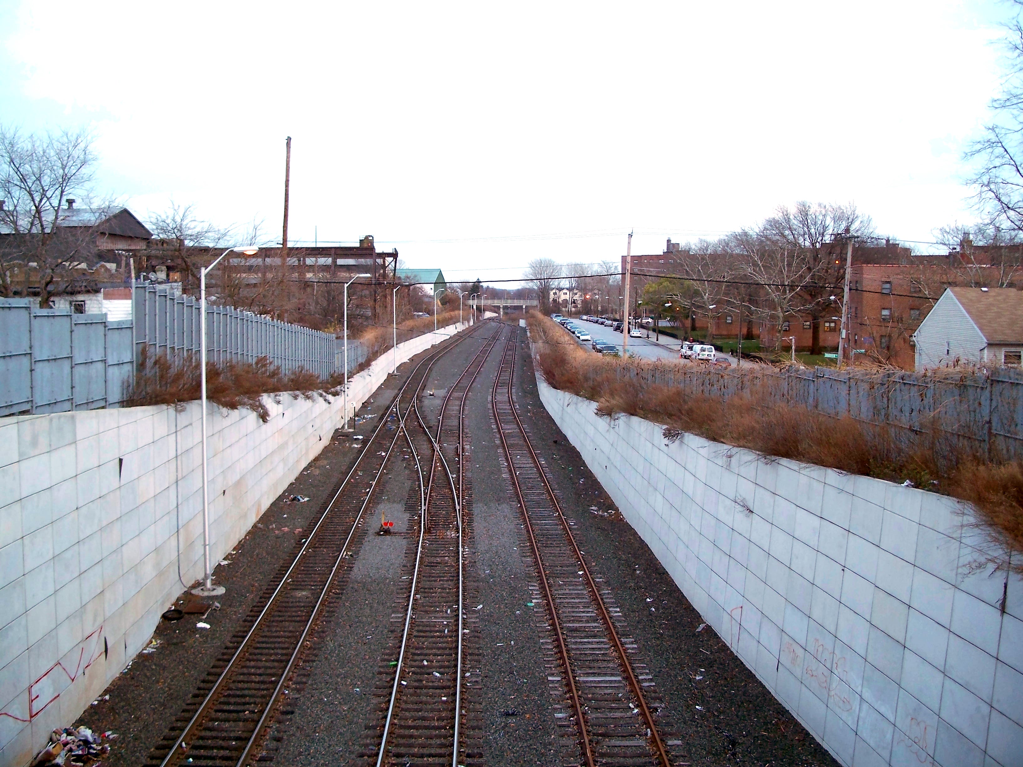
Tracks headed from the east to South Road

Tracks headed west to Arlington Yard

Tracks headed west to Arlington Yard