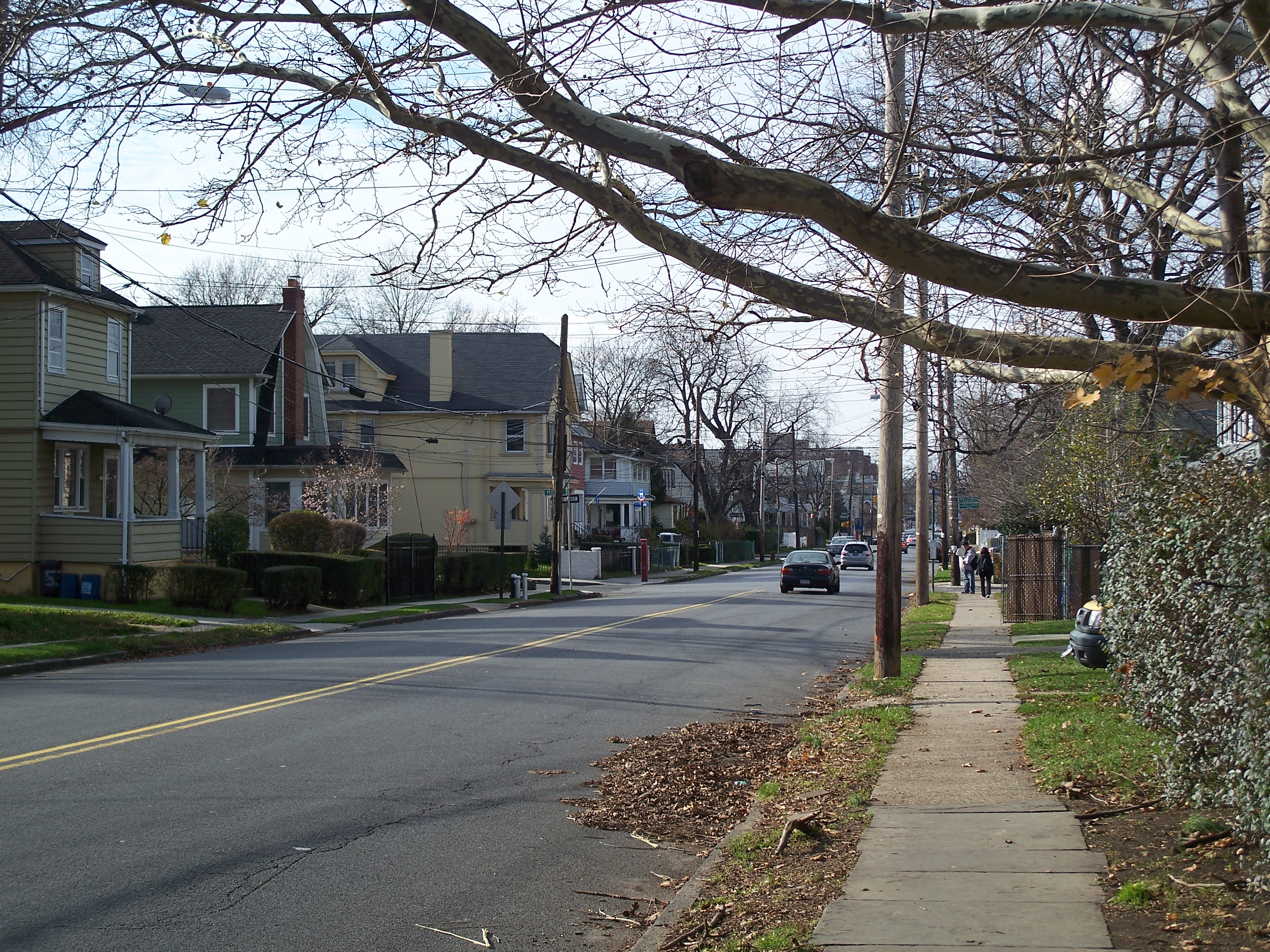
Livingston
Just to the west of R.H. Tugs, the Livingston station supposedly sat at the foot of Bard Avenue. There's a convenience store there, where track resumes its natural state and proceeds west.
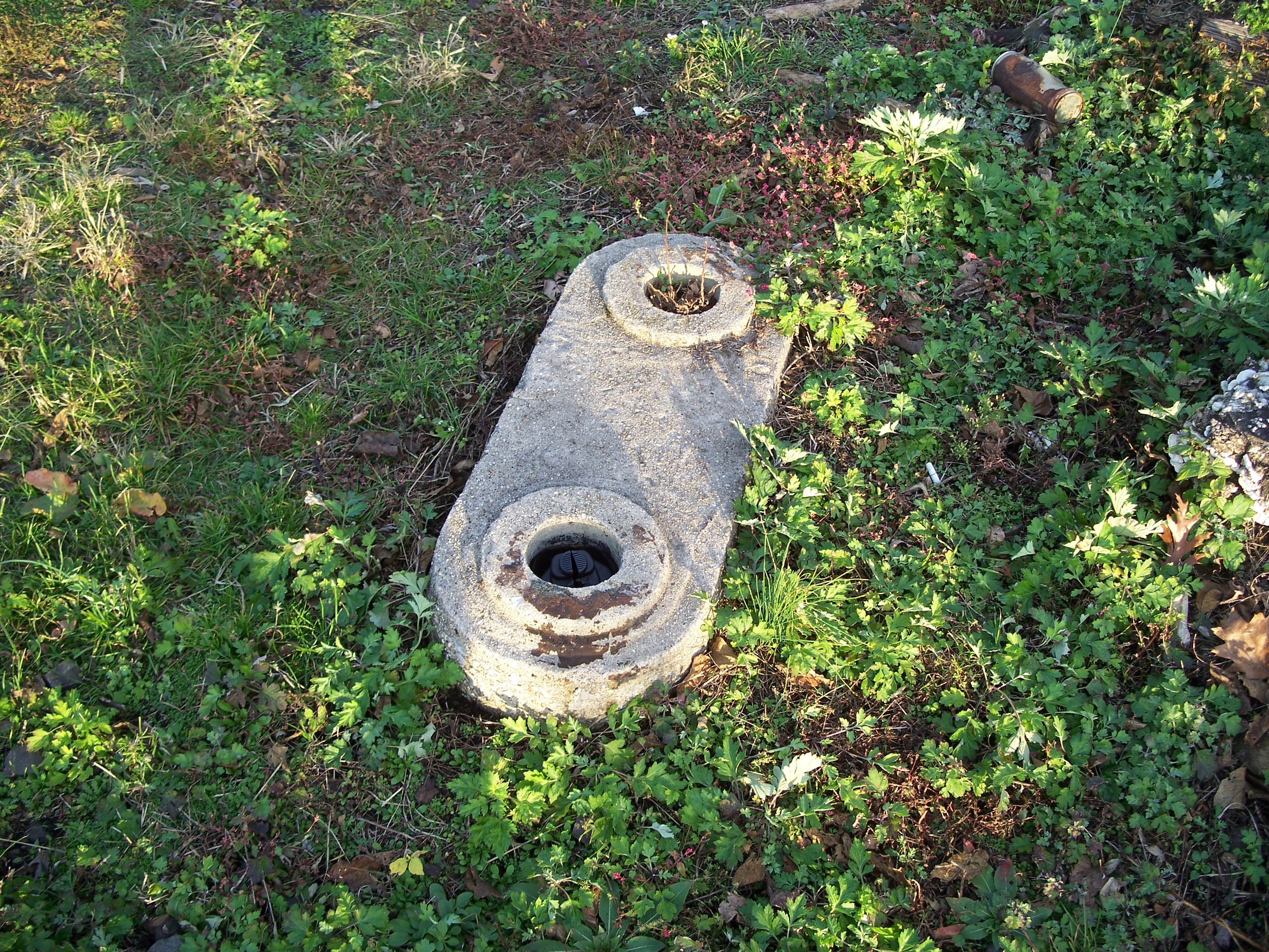
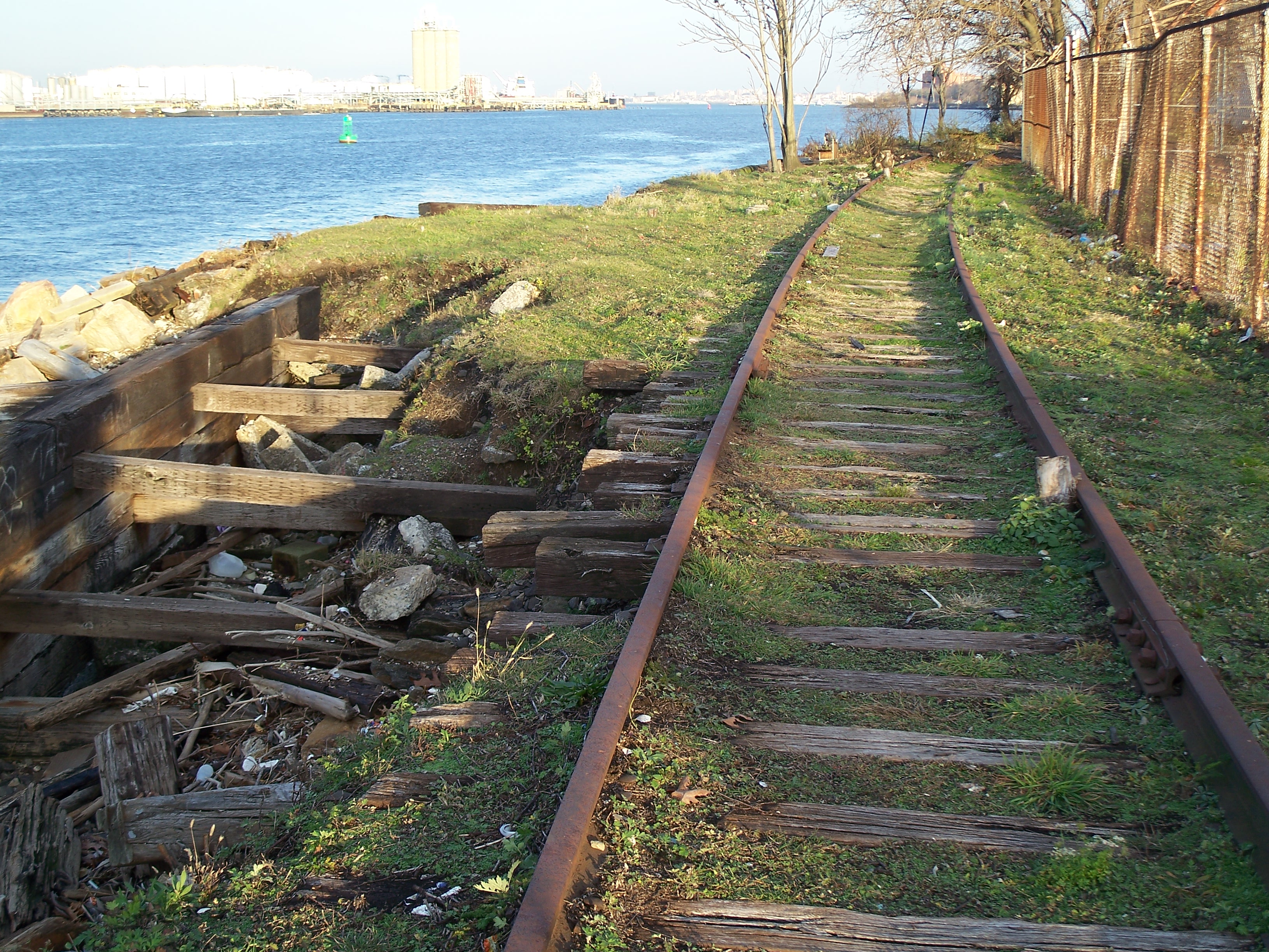
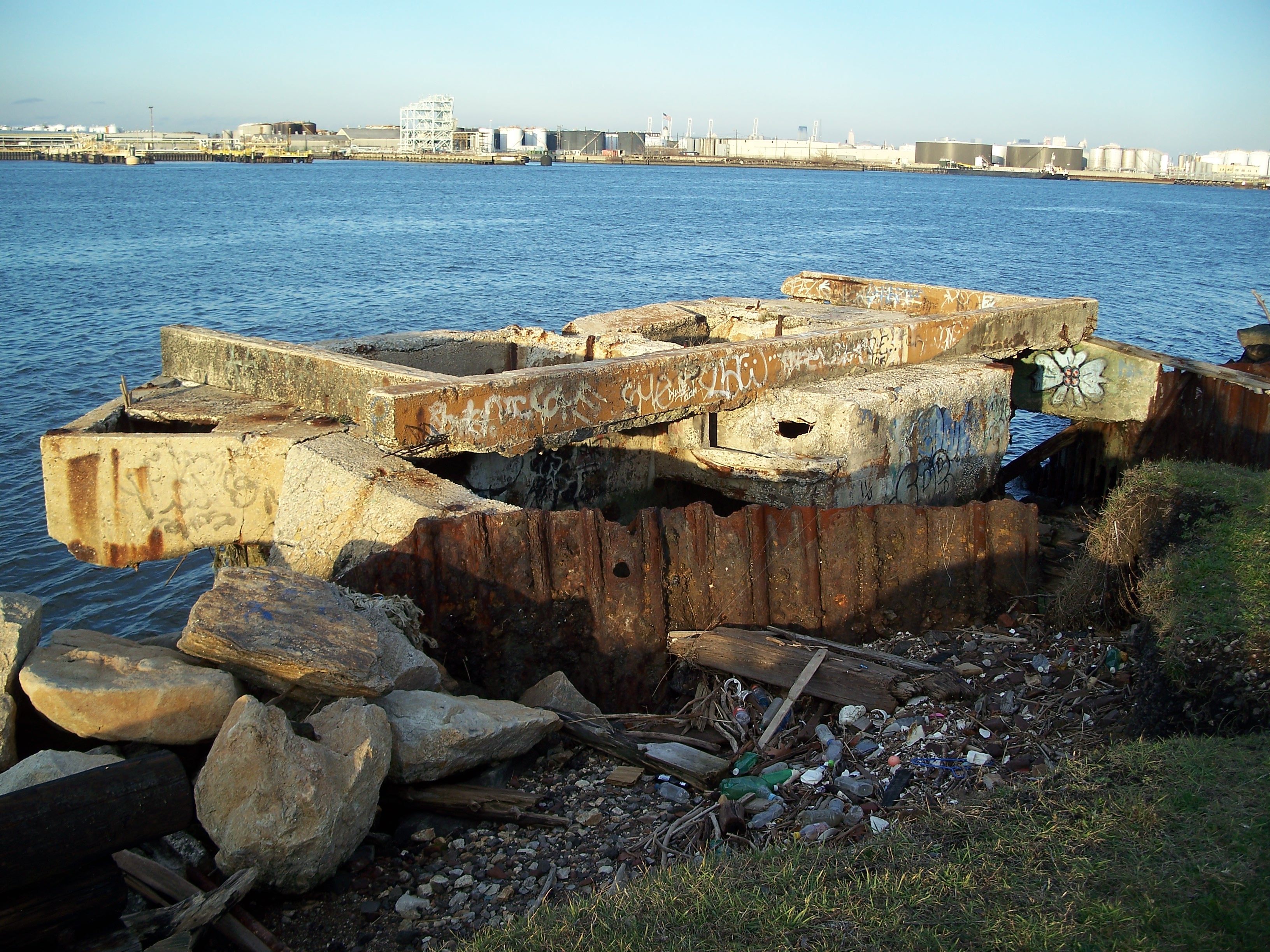
Between Bard and Davis Avenues, the track procedes dramatically over another eroded section of fill. The area also features some concrete waterfront structures, perhaps having something to do with the sewer overflow outlet, or perhaps just the foundations of some long-defunct structures.
Snug Harbor was founded on 1801 bequest of farmland by Robert Richard Randall that was delayed by an extended dispute over the will. It finally opened in 1833 to provide a haven for "aged, decrepit and worn out sailors." Over the 19th century the facility expanded to 50 buildings housing over 900 residents from around the world. Residency and financial support declined in the mid 20th century. The few remaining residents were relocated to North Carolina in the 1960s. With the historic property falling into disrepair and being coveted by developers, the New York City Landmark's Commission got the facility listed on the National Register of Historic Places. The 83-acre facility was purchased by the city in 1973 and transformed into the Snug Harbor Cultural Center and Botanical Garden, an affiliate of the Smithsonian Institution.
For a more detailed history of Snug Harbor, see Gerald J. Barry's The Sailors' Snug Harbor: 1801-2001
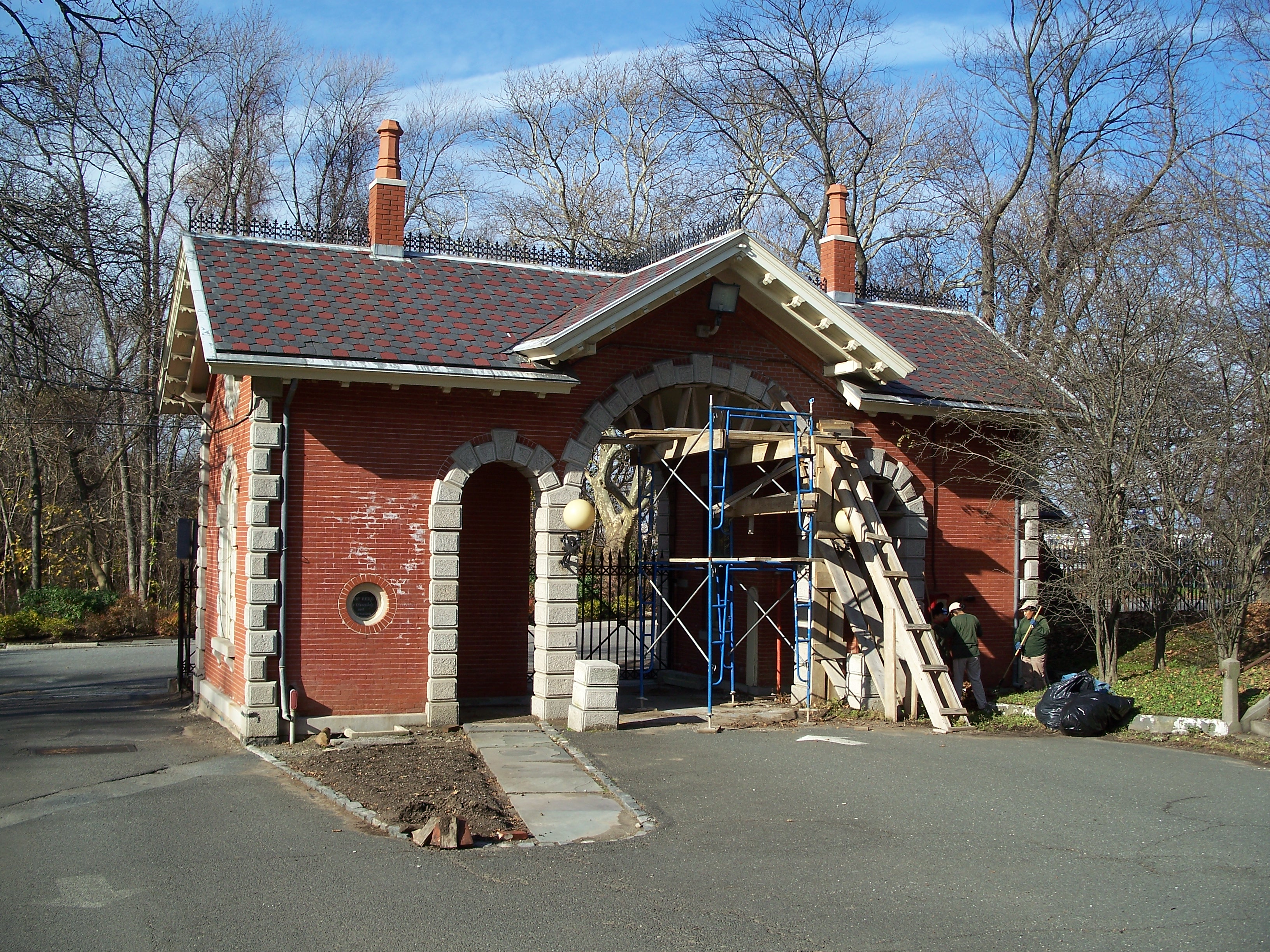
Just to the east of sits Neville House, a country residence built around 1770 by John Neville, a retired naval officer. In the 19th century it was used as a tavern that likely received much of its patronage from the retired sailors living next door. When I visited in 2009, it was in pretty bad shape.
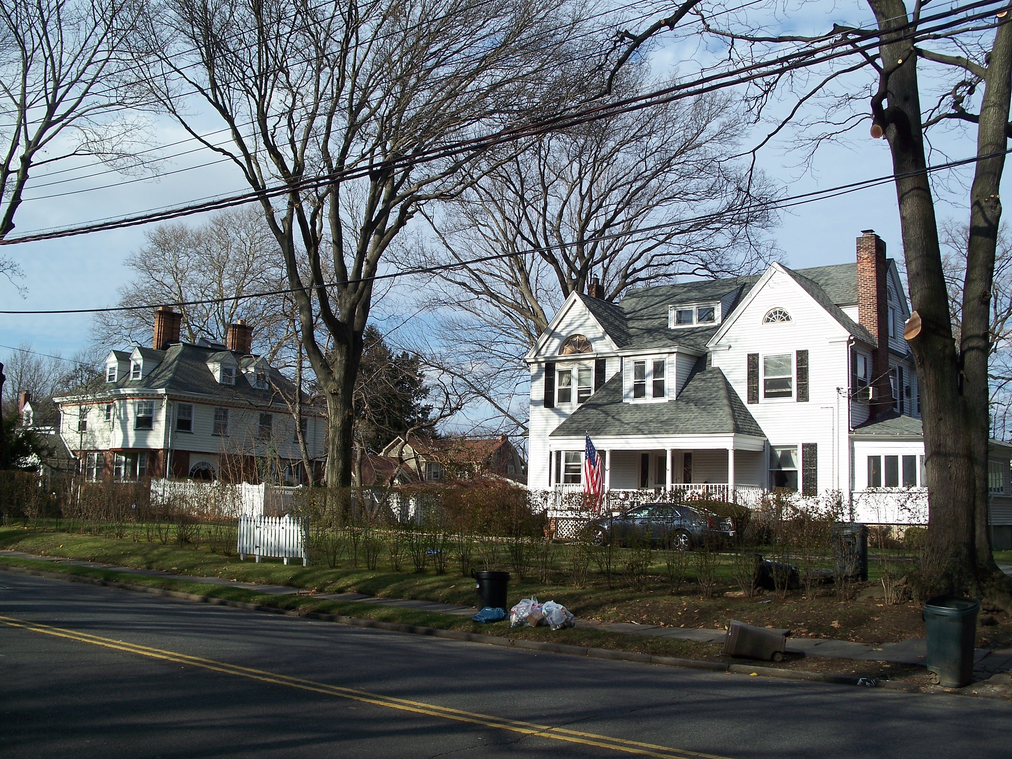
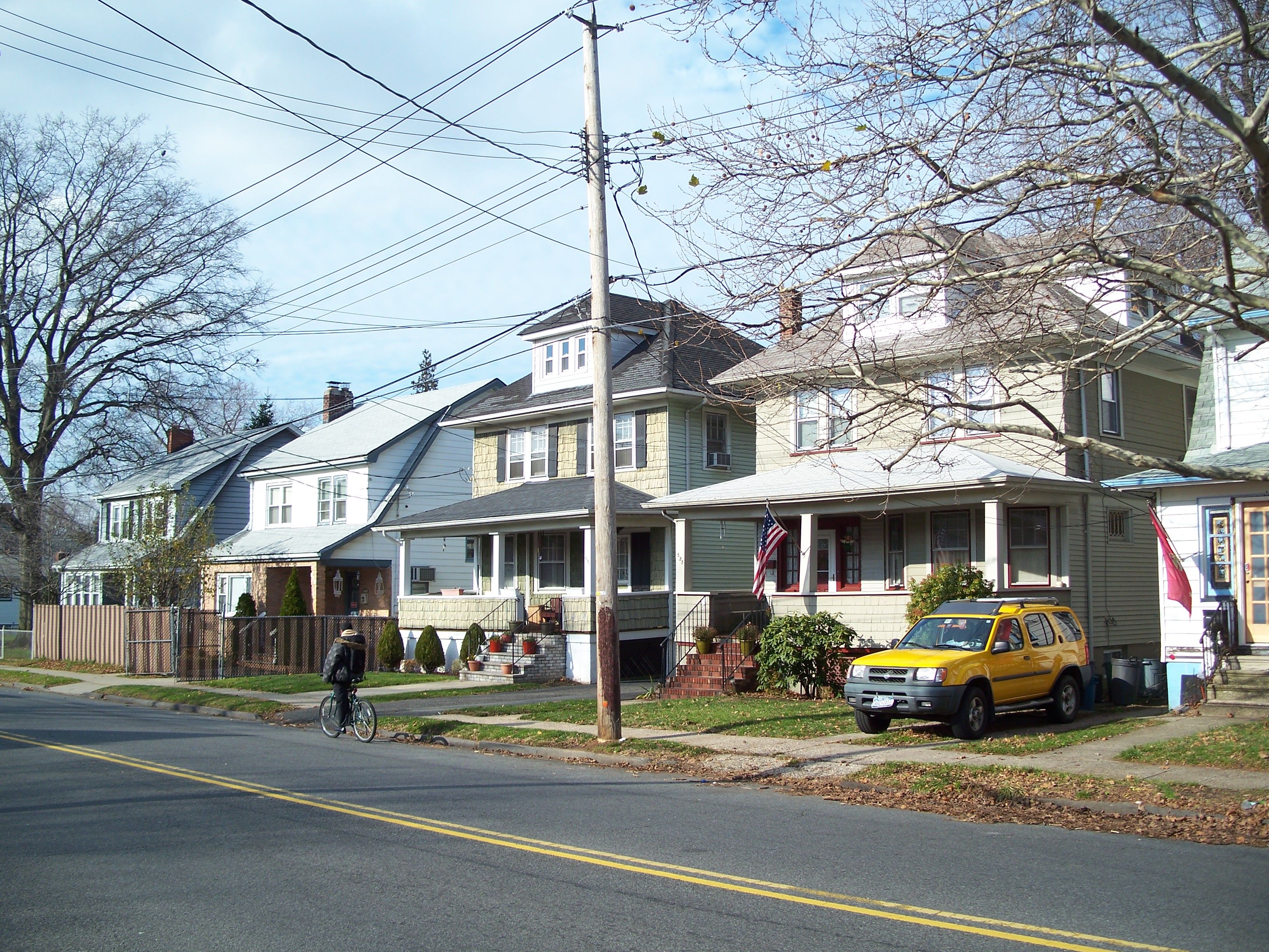
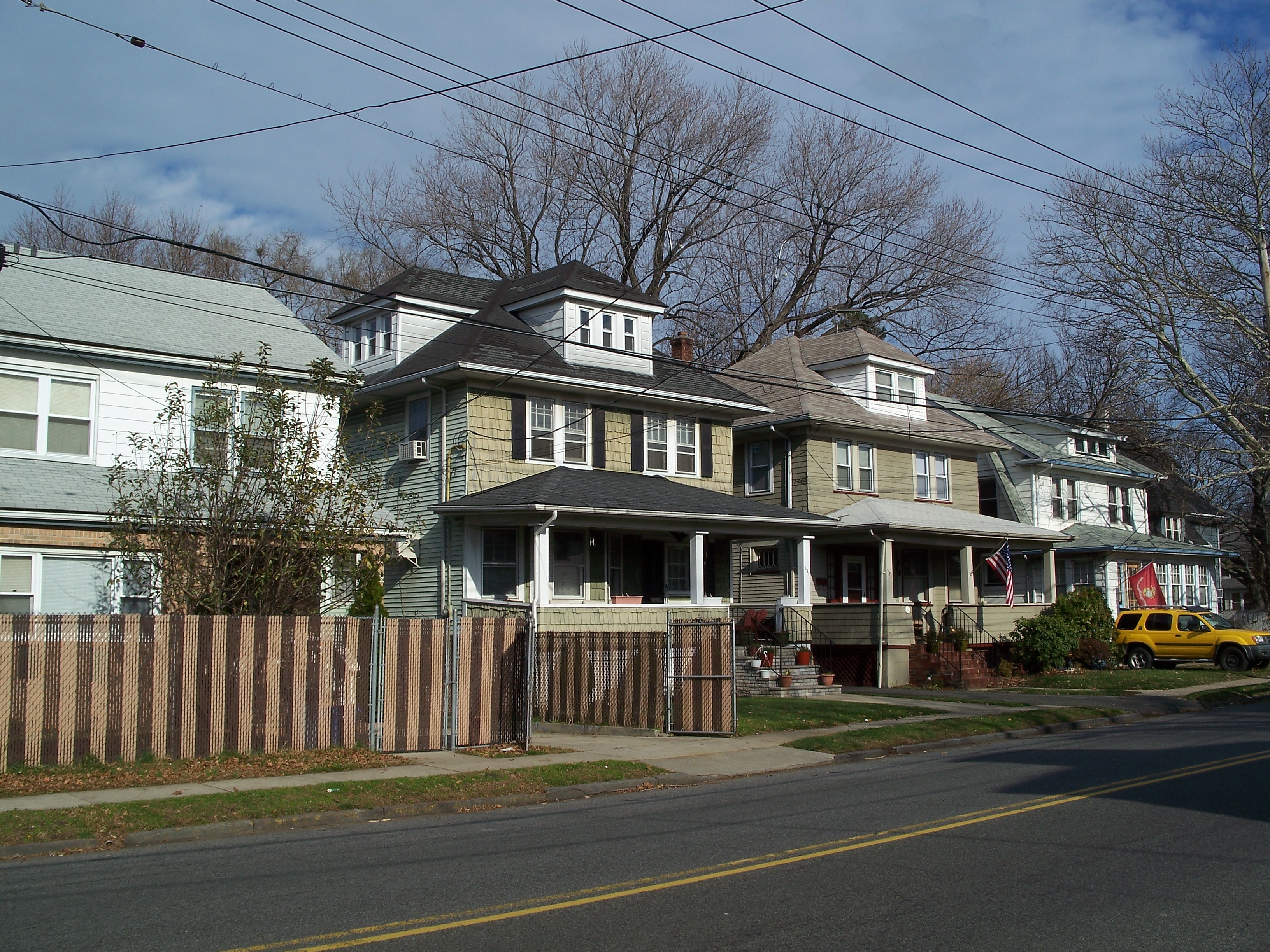
The area of New Brighton near Snug Harbor is an area of pleasant, older single-family homes, becoming a little more dense and less affluent as you move west into Livingston and West Brighton.

Track behind convenience store

Behind the convenience store
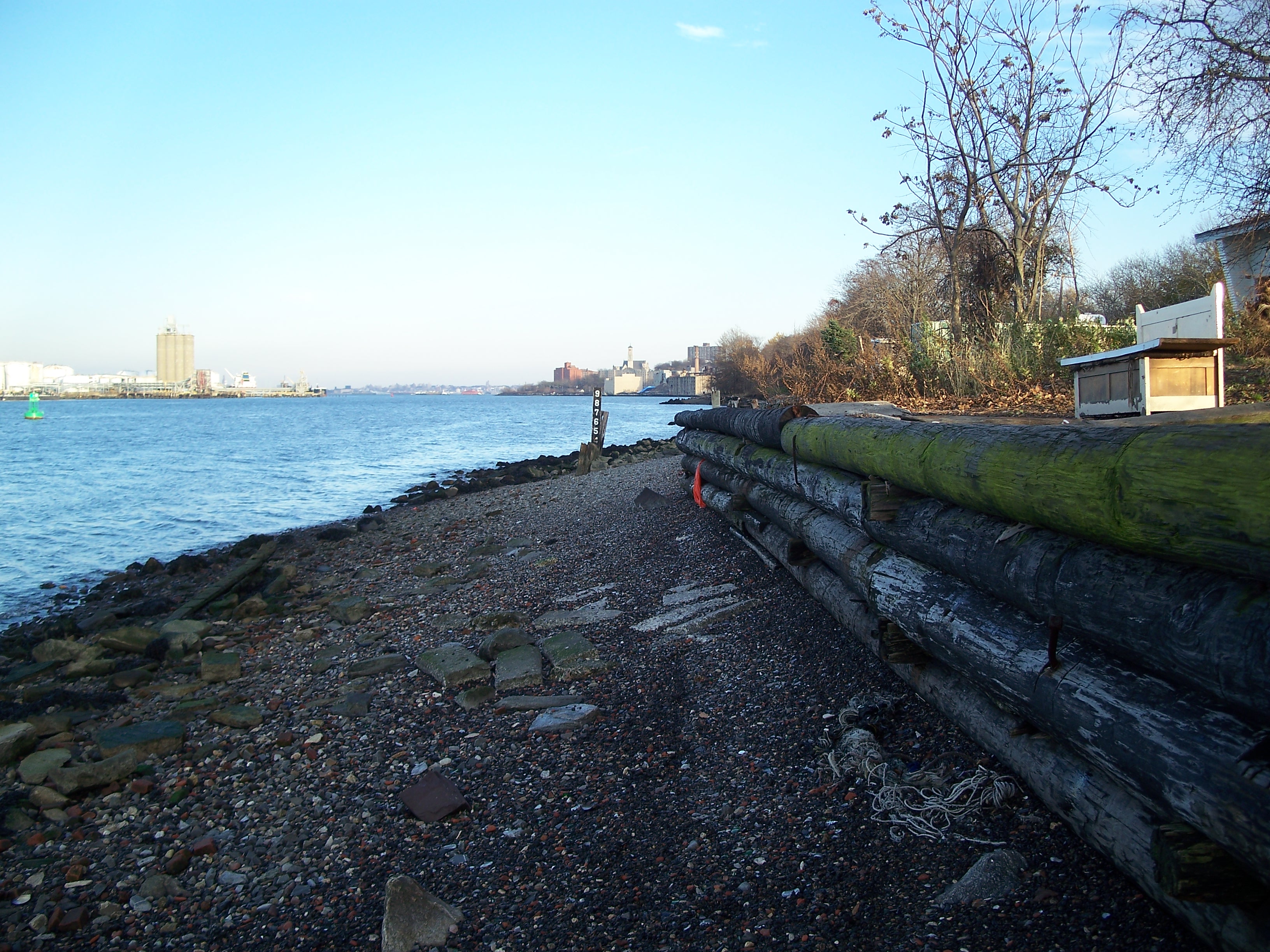
Retaining wall behind the convenience store
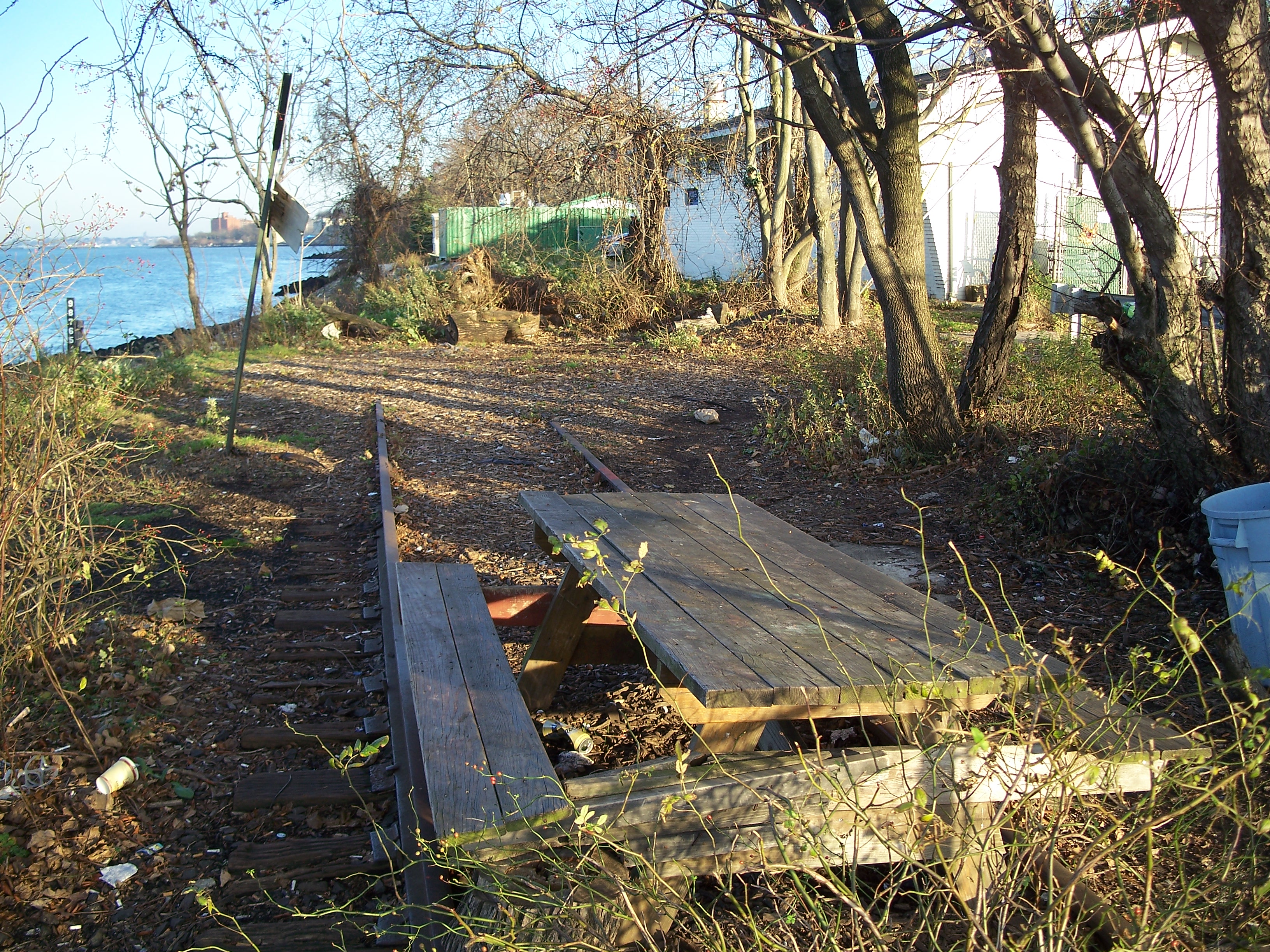
Track under picnic table
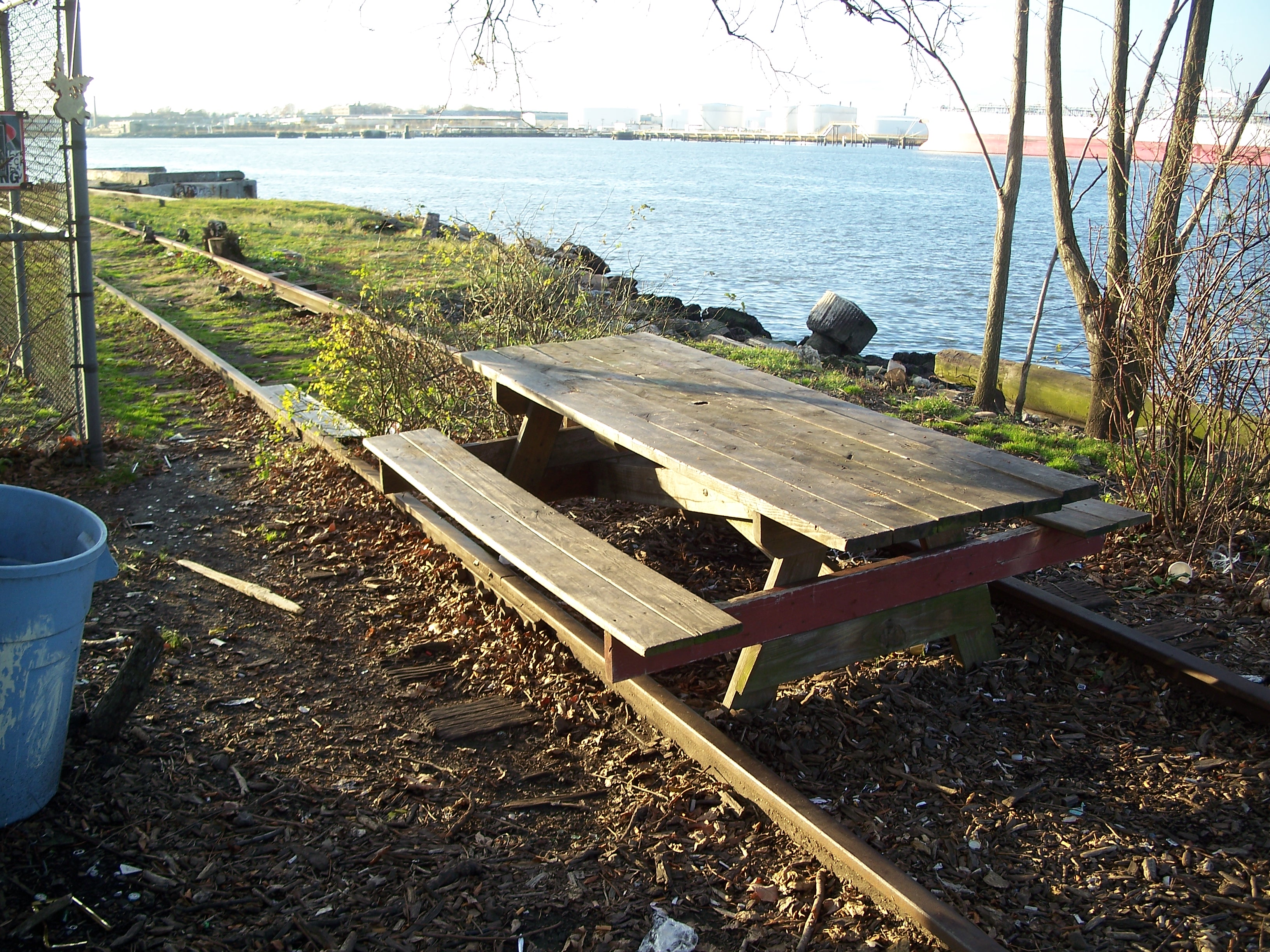
Picnic table over track looking west

DEP sewer overflow outlet sign

The convenience store at Bard Ave
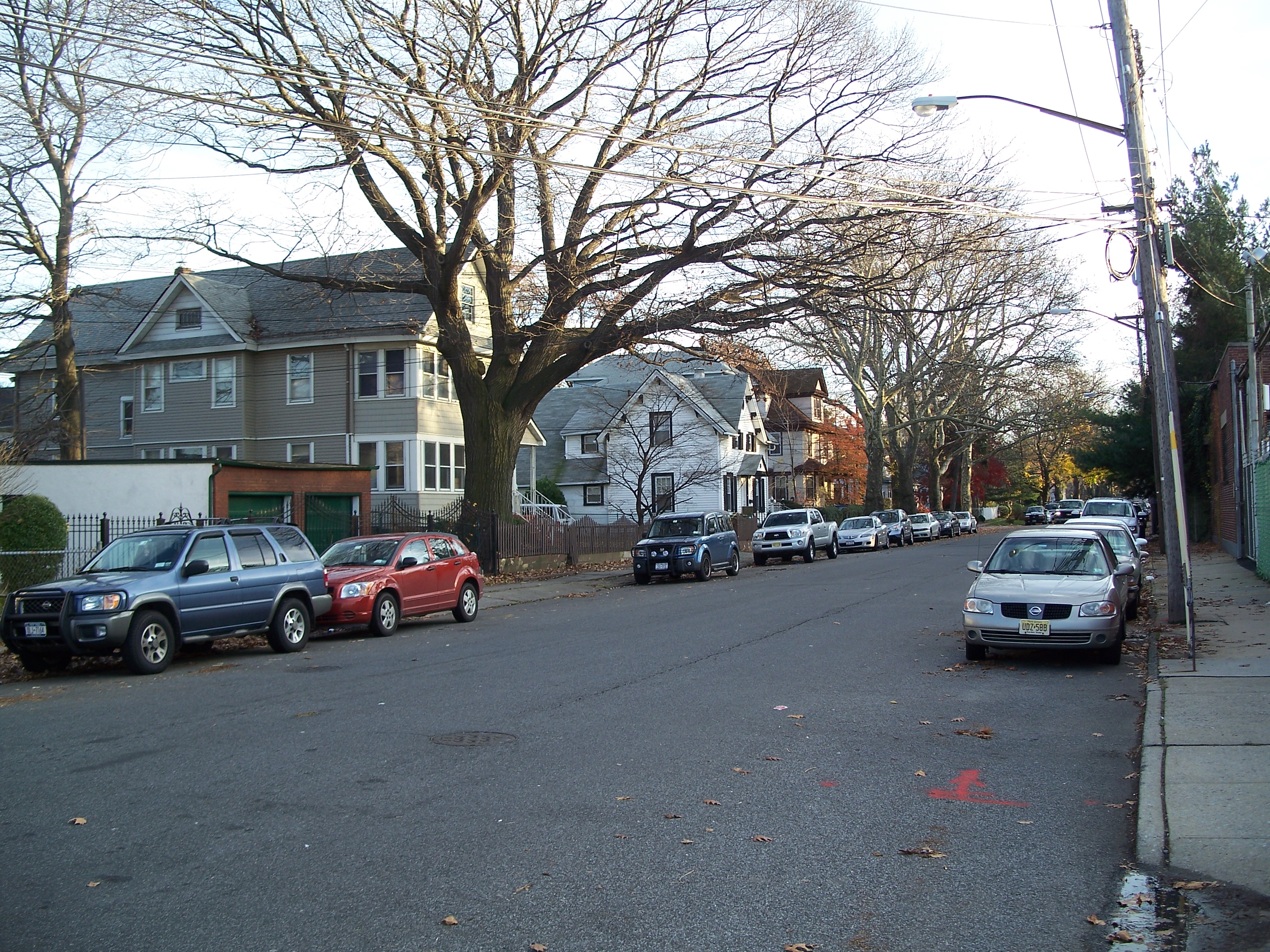
Looking south at pleasant, old houses on Bard Ave.
Bard Ave. terminating at the track

Bard Ave. terminating at the track
Vestigial 3rd rail base?

Stump grown over track
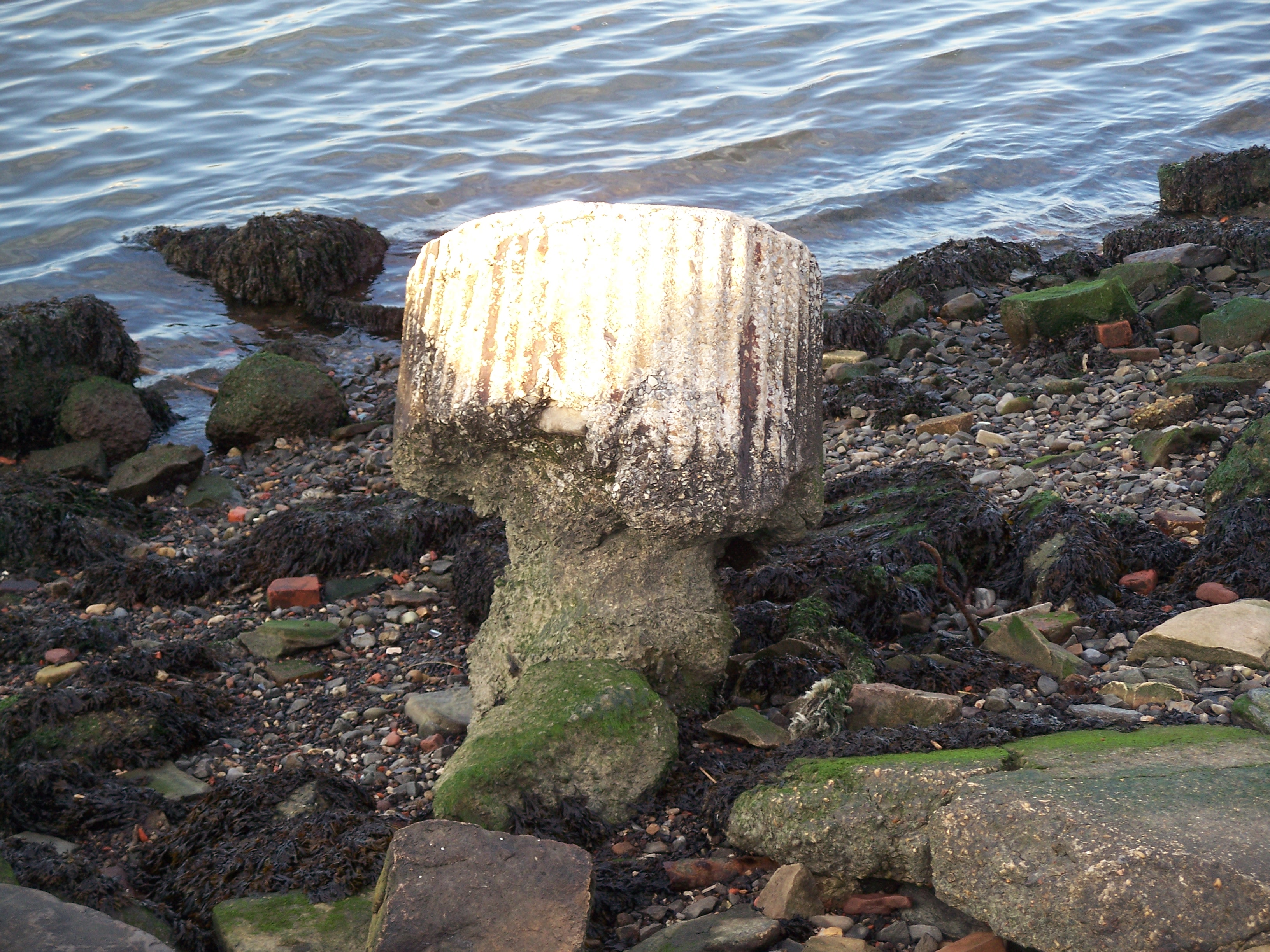
Concrete column?
Track headed east
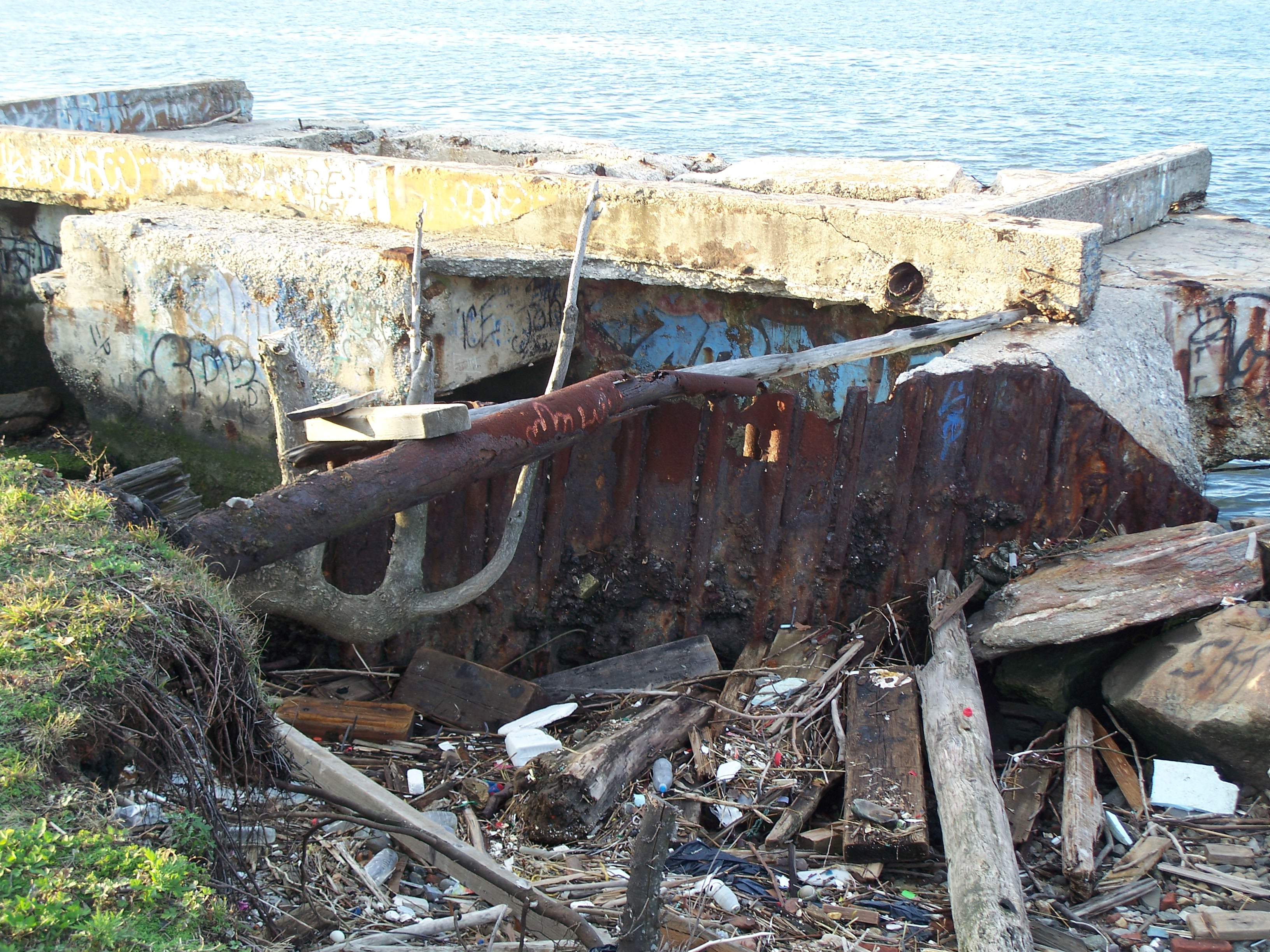
Concrete structure

Concrete structure
Concrete structure
Track erosion continues

Track headed east past encroaching erosion

Second concrete structure

Second concrete structure

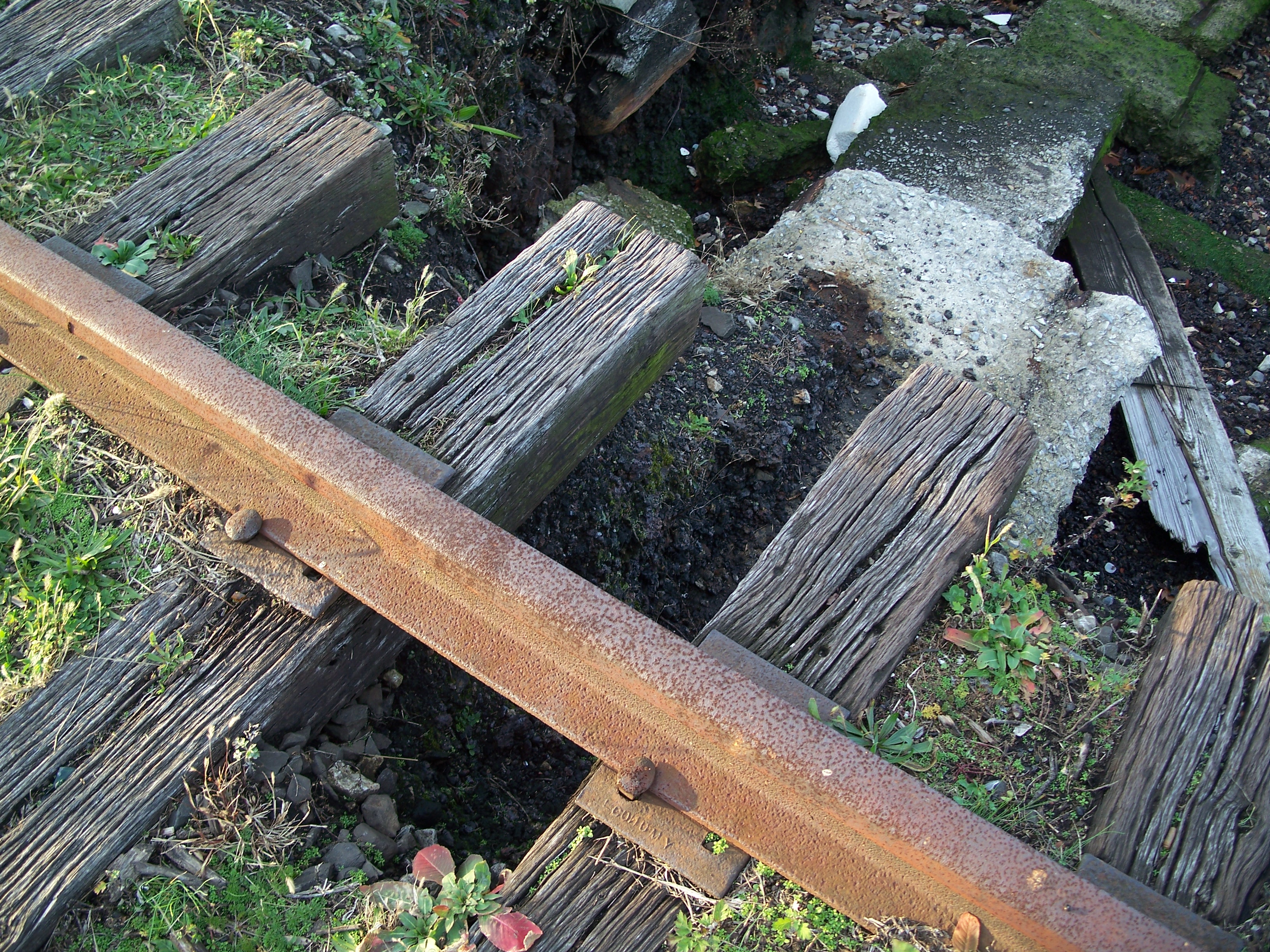
Eroded track

Eroded track

Under the track
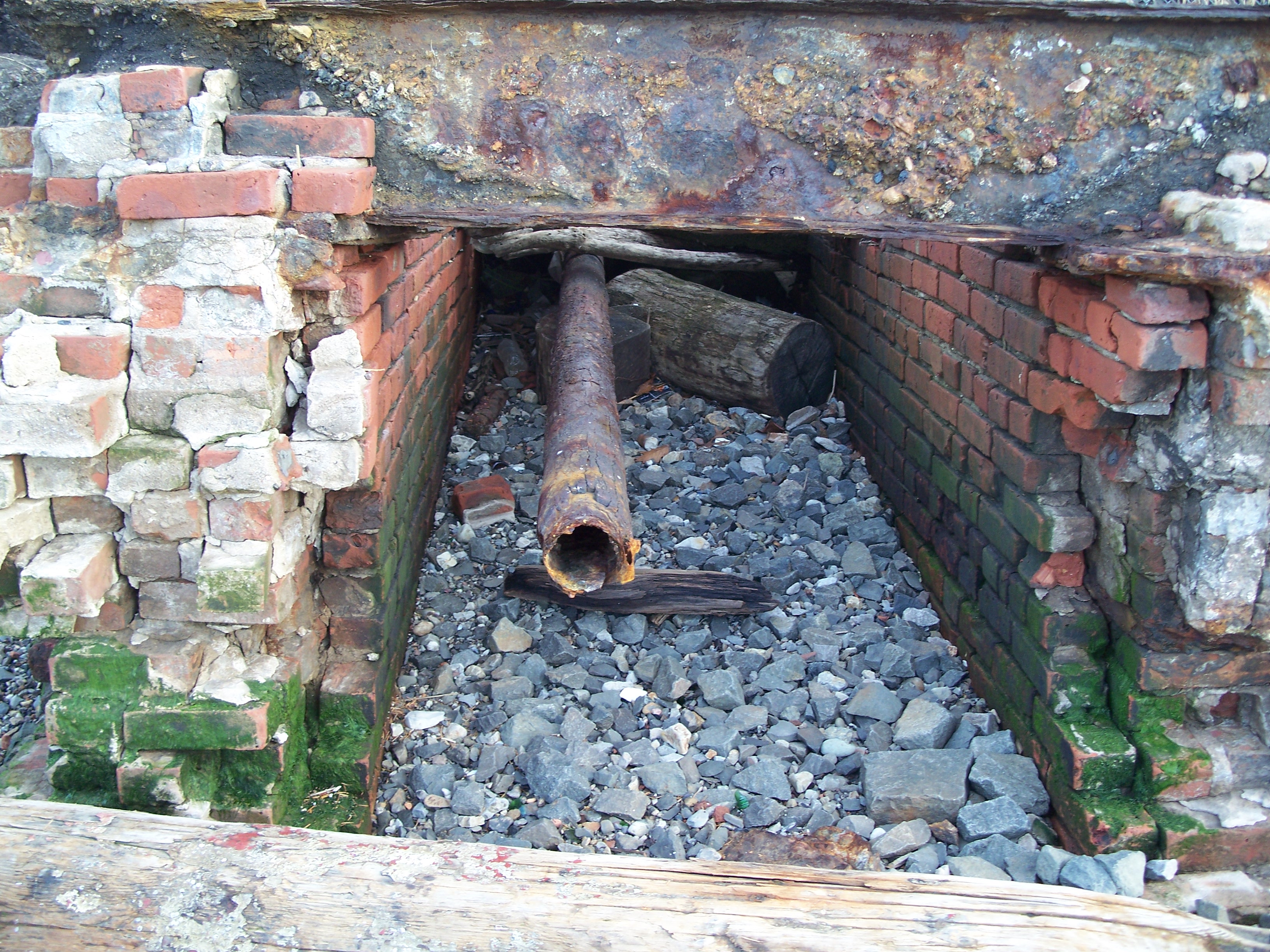
Brick conduit under track
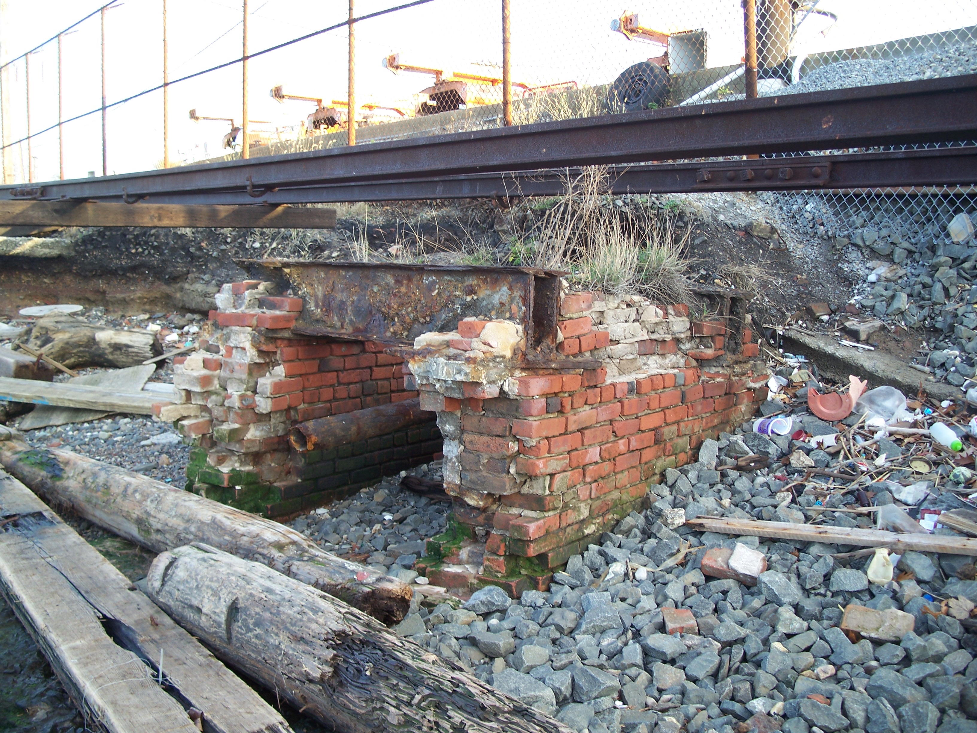
Brick conduit under track

Between the tracks

Track emerges from erosion

Track in weeds

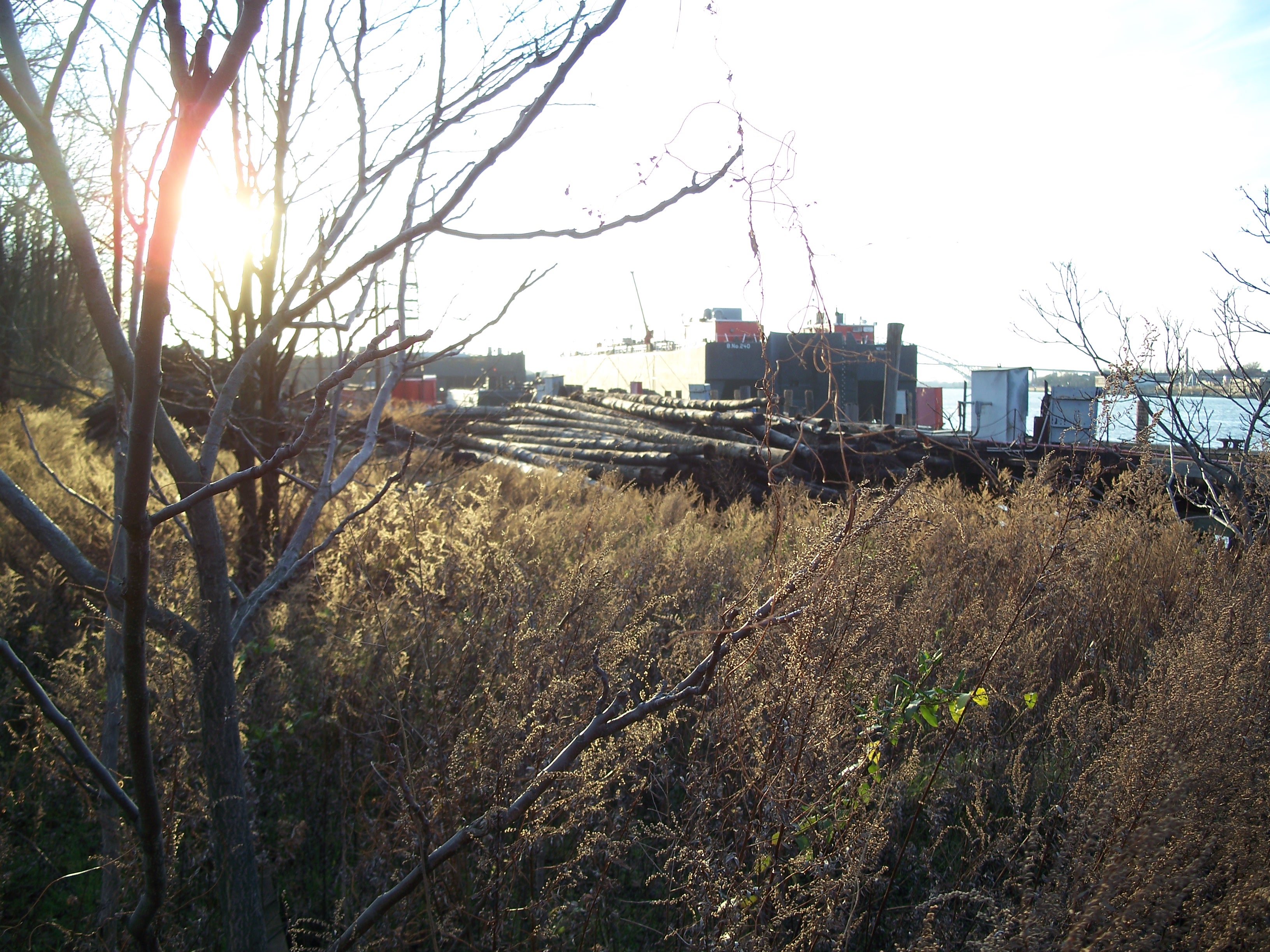
Track heads west into overgrowth

Track heads west
Power poles at Con Ed facility

1925 electrical warehouse, Richmond Terrace btw Bard and Davis

Richmond Terrace btw Bard and Davis

Snug Harbor entry sign

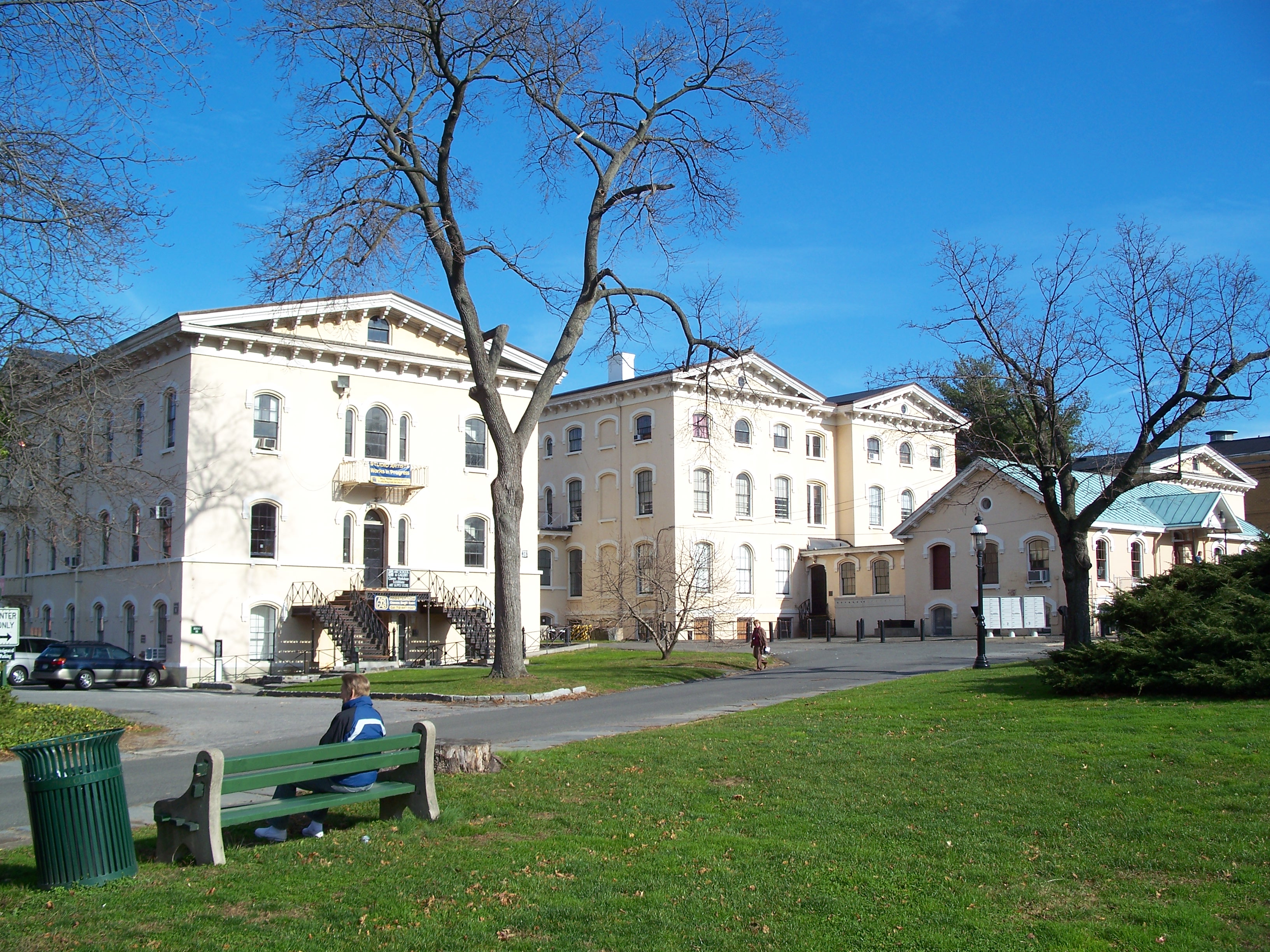
Greek Revival buildings in Snug Harbor
West entrance
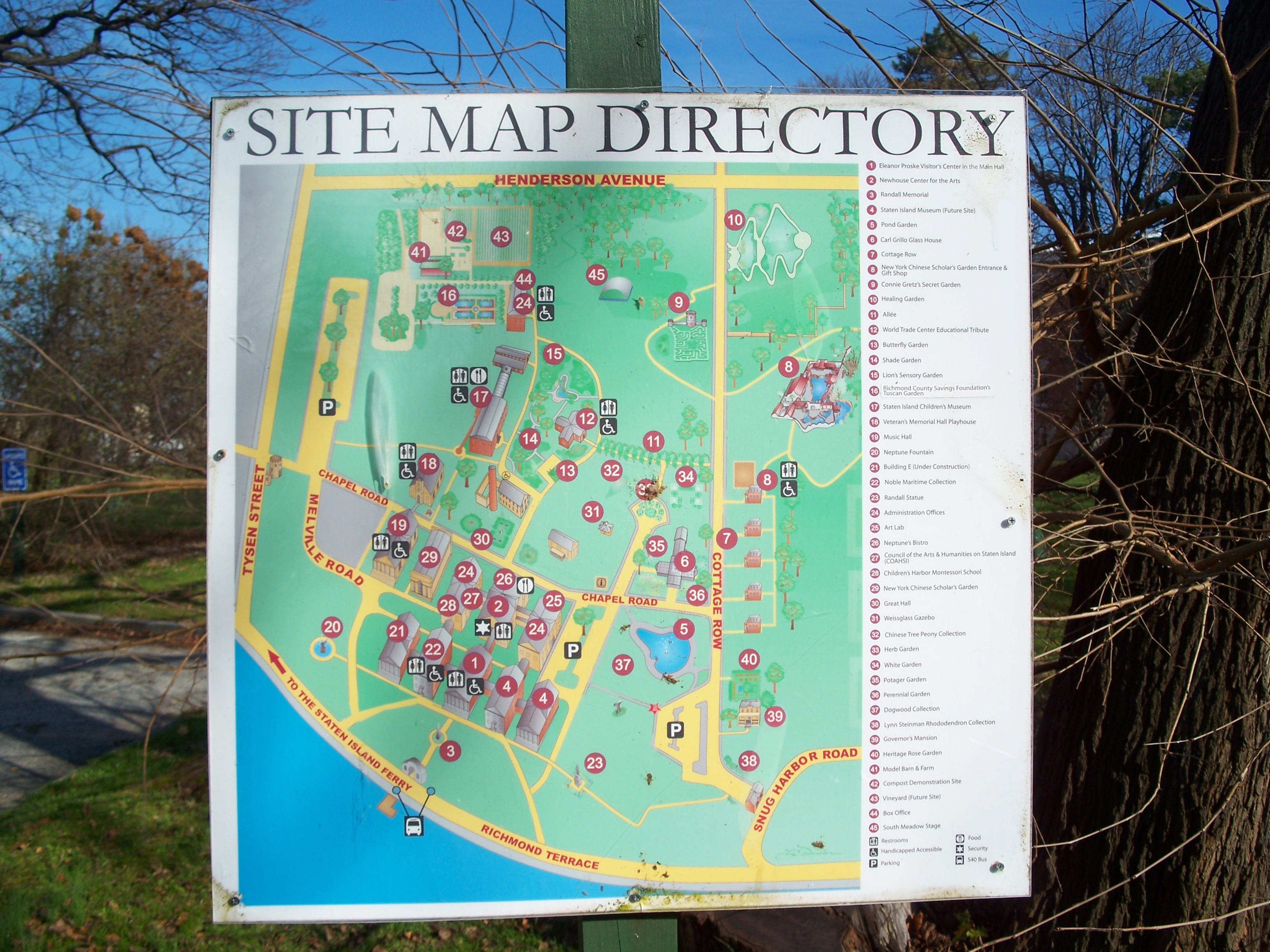
Site map

Statue
Buildings on Chapel Road

Governor's House

Cottage Road

Greenhouse

Arbor
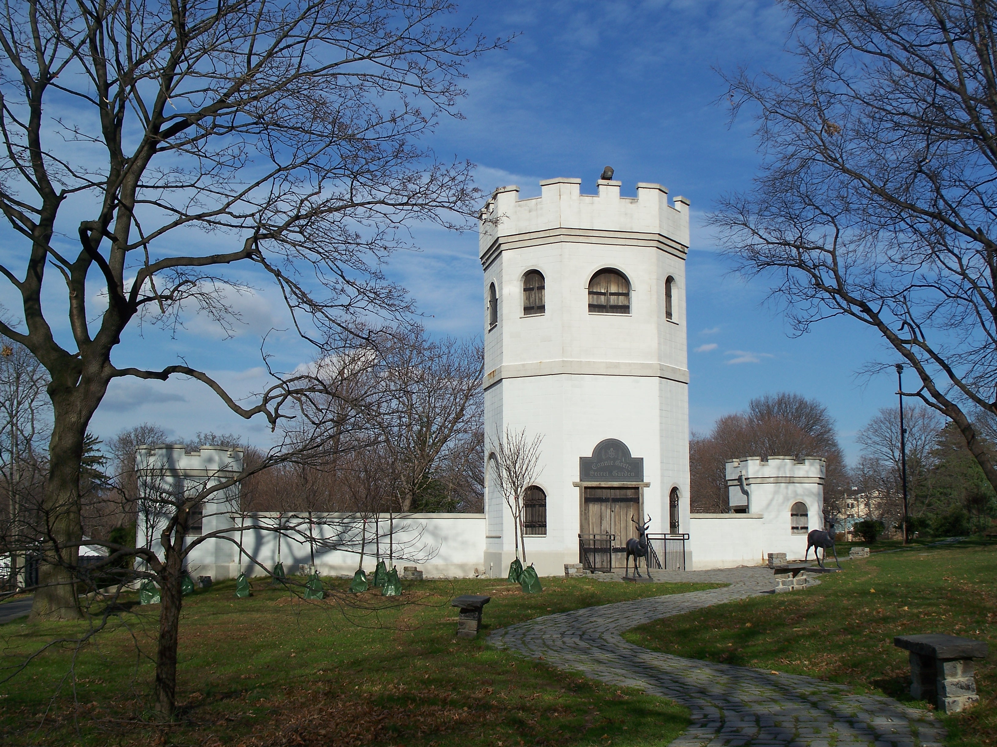
Connie Gretz Secret Garden tower
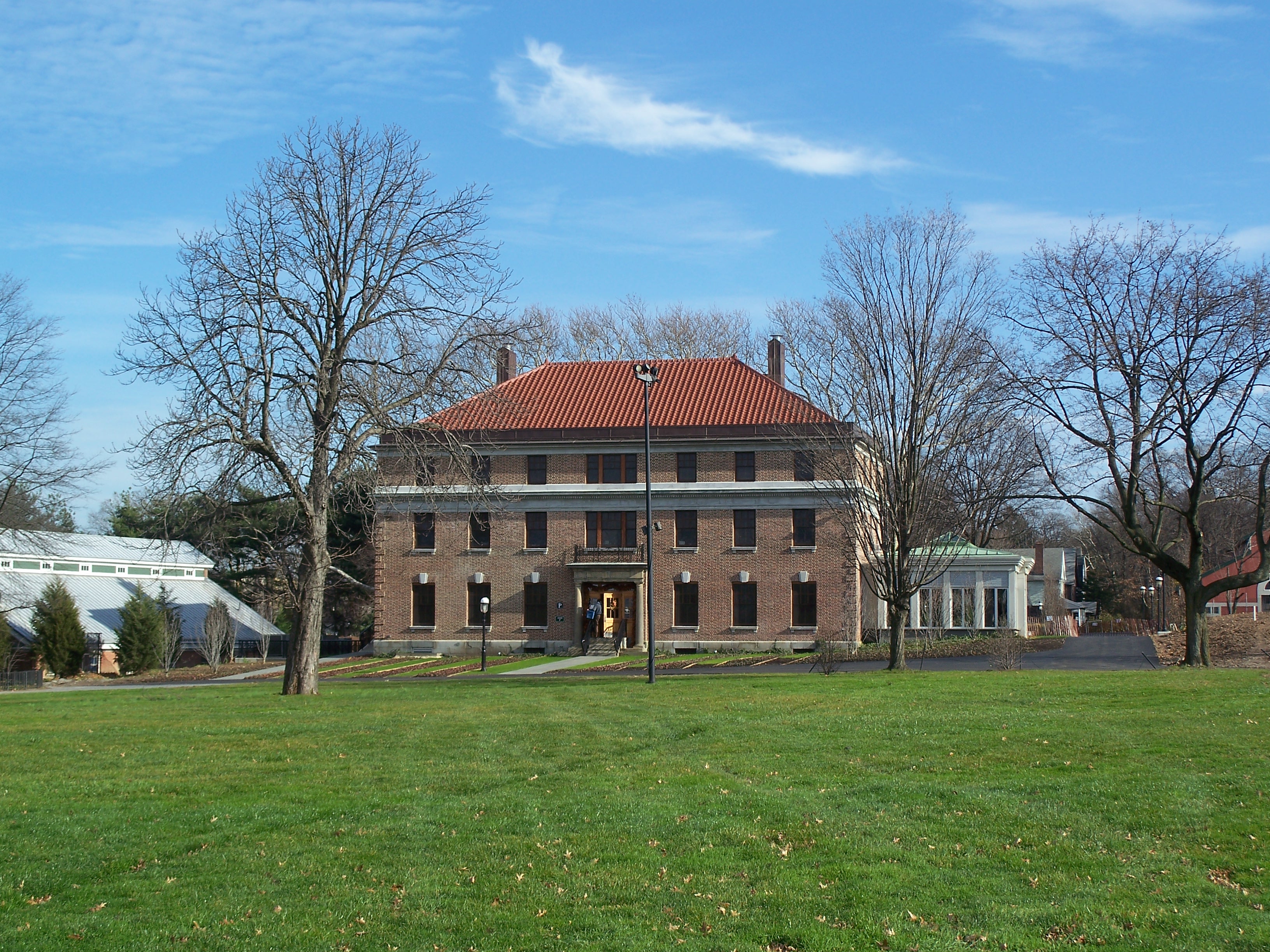
Administration office

Neville House
Neville House

Neville House

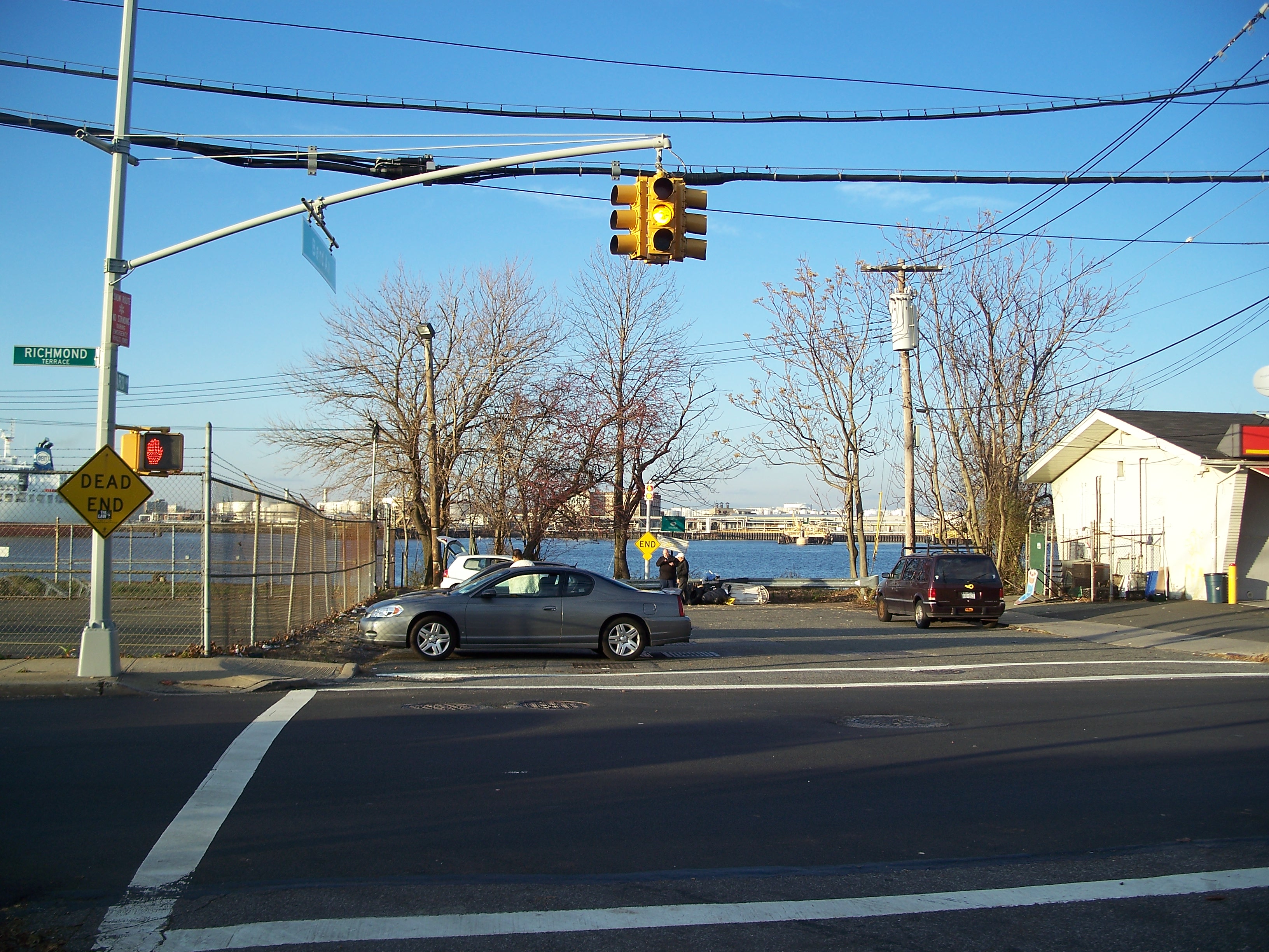
Richmond Terrace at Westbury Ave

Westbury Avenue

Westbury Avenue
Large houses on Richmond Terrace at Kissel Ave

Davis Ave. north of Richmond Terrace
Richmond Terrace at Pelton
Richmond Terrace at Pelton

Richmond Terrace at Pelton
Richmond Terrace at Pelton

Richmond Terrace at Pelton

Mount Zion Ministry, 631 Henderson

Henderson at Campbell

Henderson at Campbell
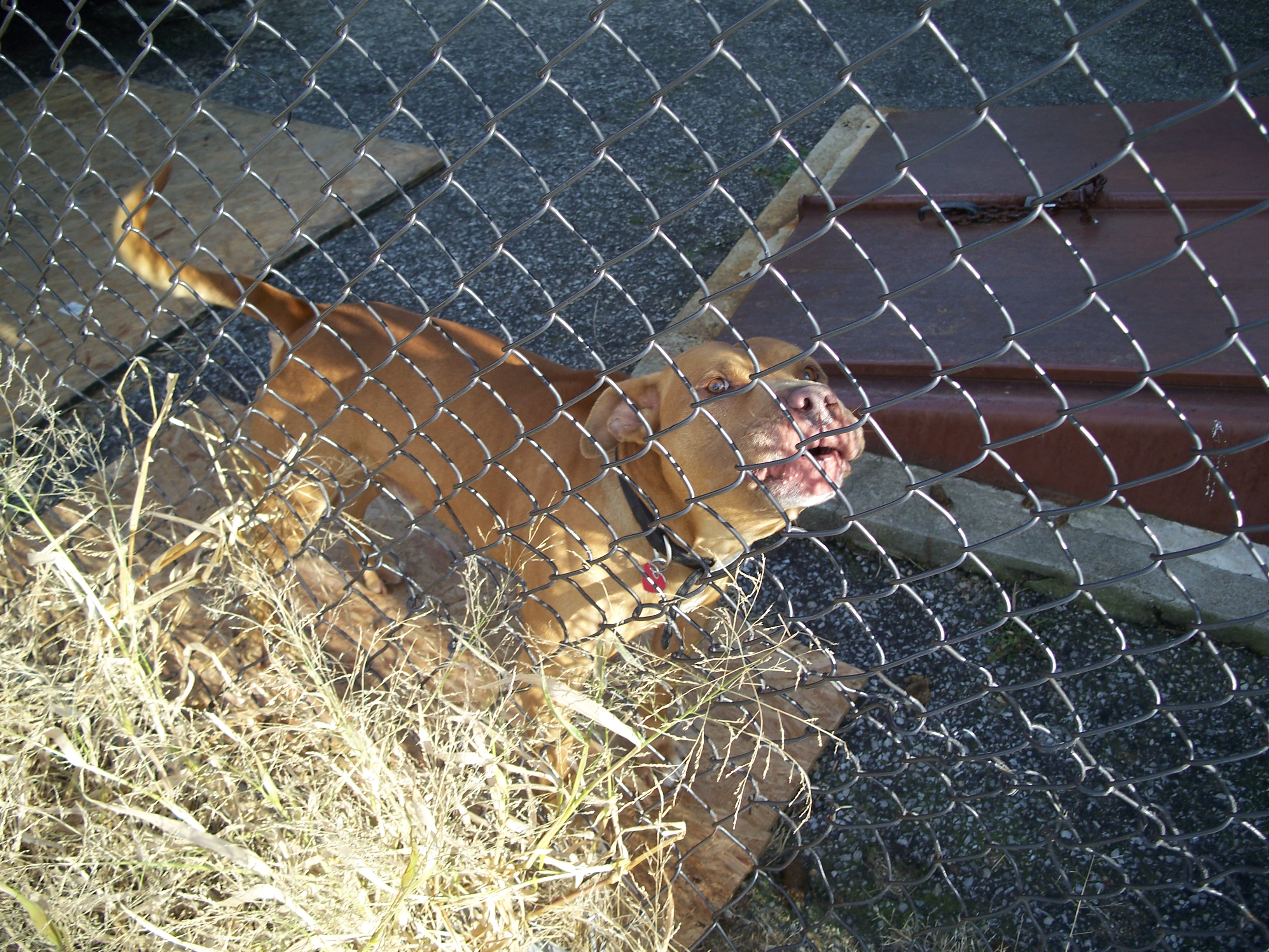
Guard pit bull on Campbell

New development south of Markham Gardens