Columbia Plateau Trail / Fish Lake Trail
This rail trail was originally built as the Spokane, Portland, and Seattle Railway in 1908. The line was abandoned by the Burlington Northern Company in 1987. In 1991 the state purchased 130 miles of the right-of-way from milepost 235.0 near East Pasco to milepost 365.0 near South Cheney, and management as a park began in 1992.
The Columbia Plateau Trail terminates at the Fish Lake trailhead, but with an unpleasant two-mile trek up to Cheney-Spokane road, Spokane Parks' Fish Lake Trail on an abandoned section of UP right-of-way resumes north of Queen Lucas Lake at Scribner Road.

Cheney Trailhead
47.479356, -117.561427

Looking south

Trail looking north

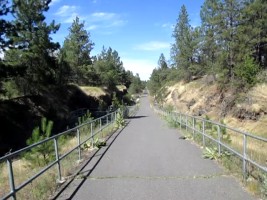
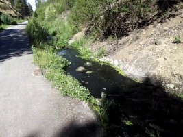
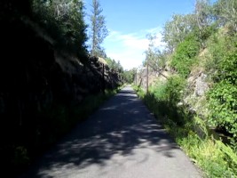
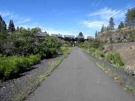
Columbia Plateau Trail
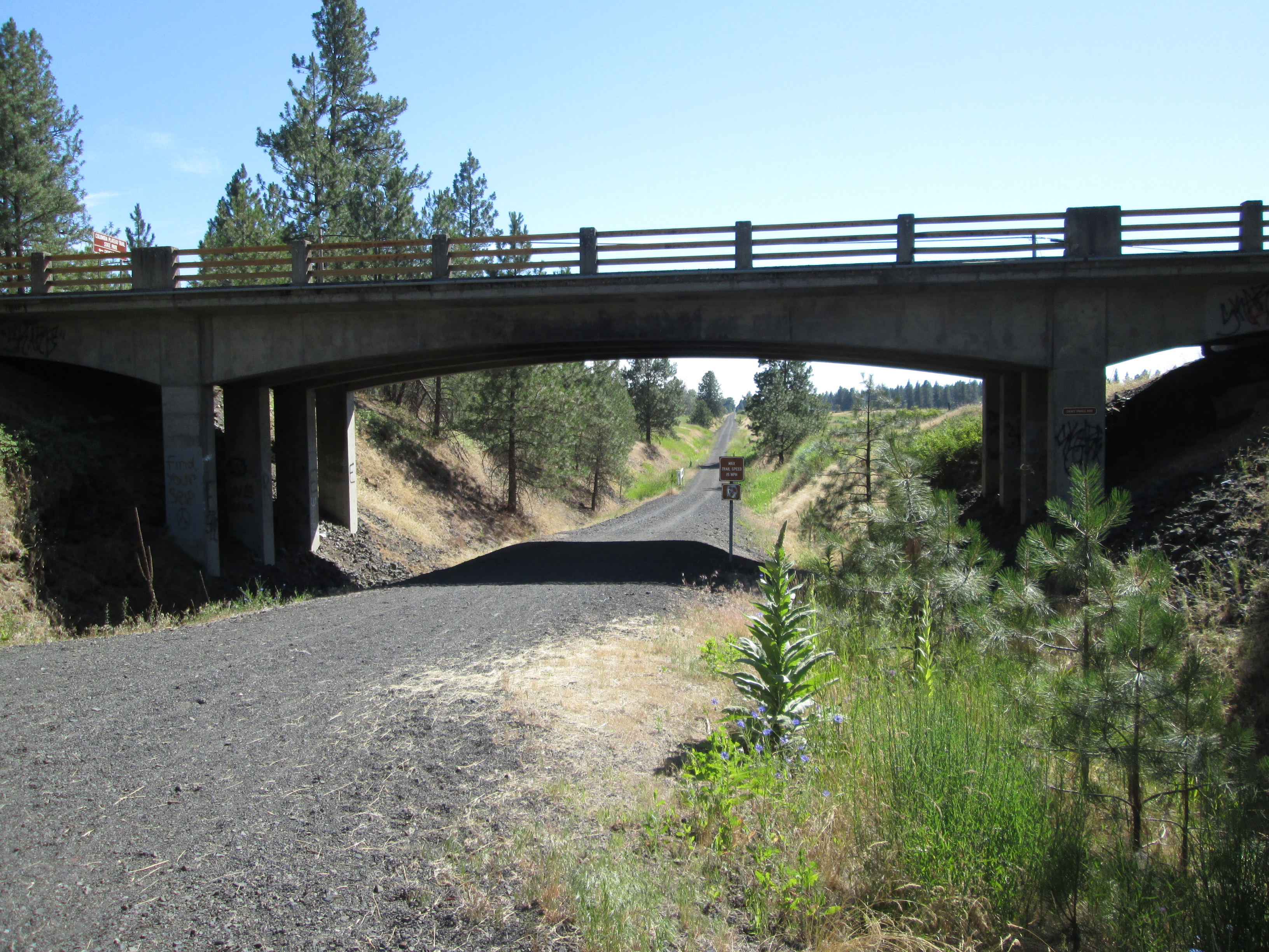
Columbia Plateau Trail

Columbia Plateau Trail
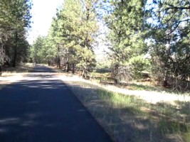
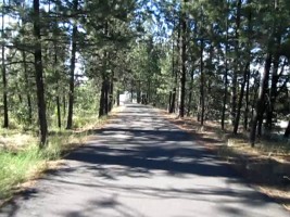
Columbia Plateau Trail (video)
Columbia Plateau Trail (video)
Columbia Plateau Trail (video)
Columbia Plateau Trail (video)

Fish Lake
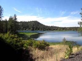
Fish Lake (video)
Fish Lake
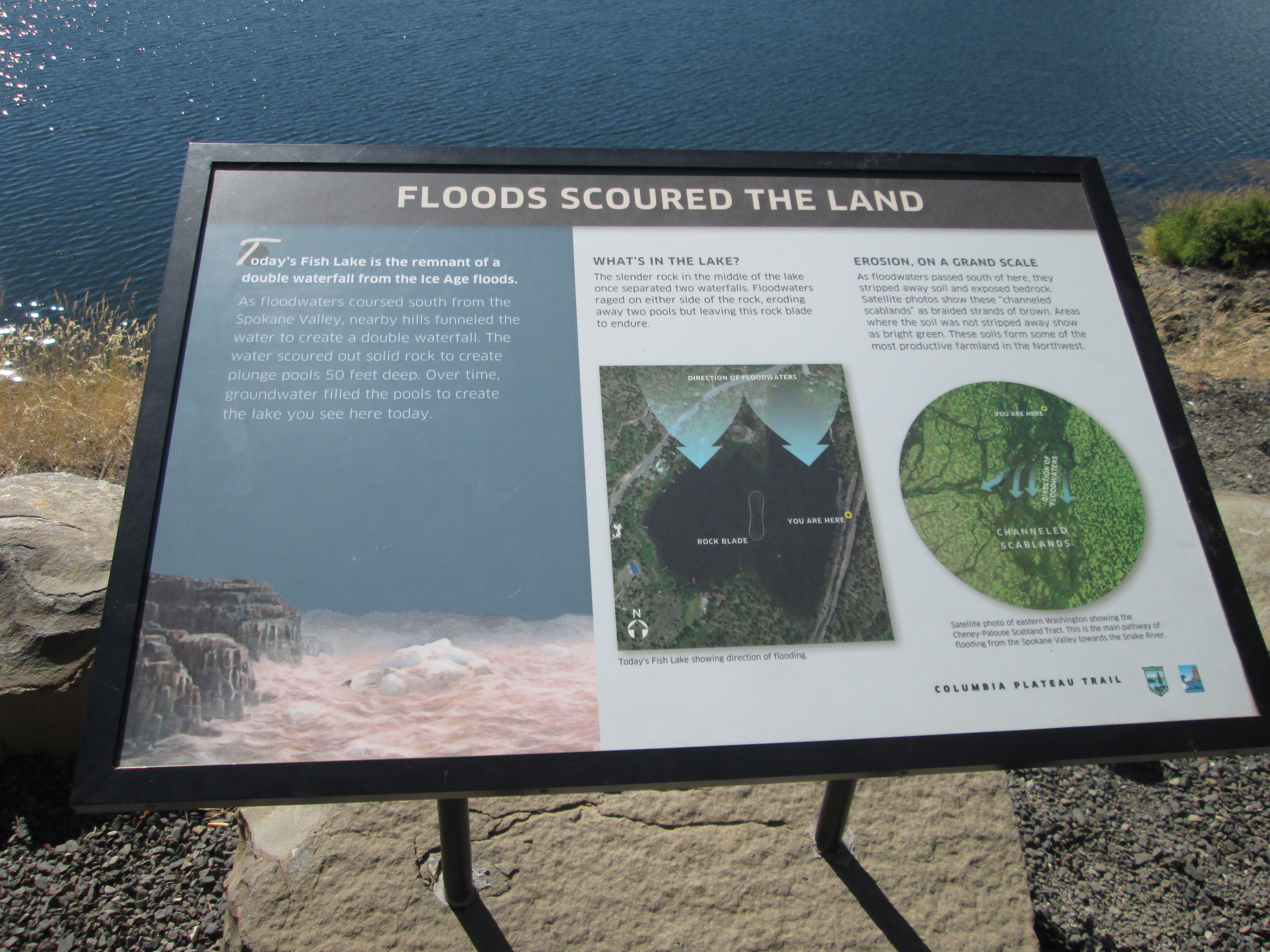
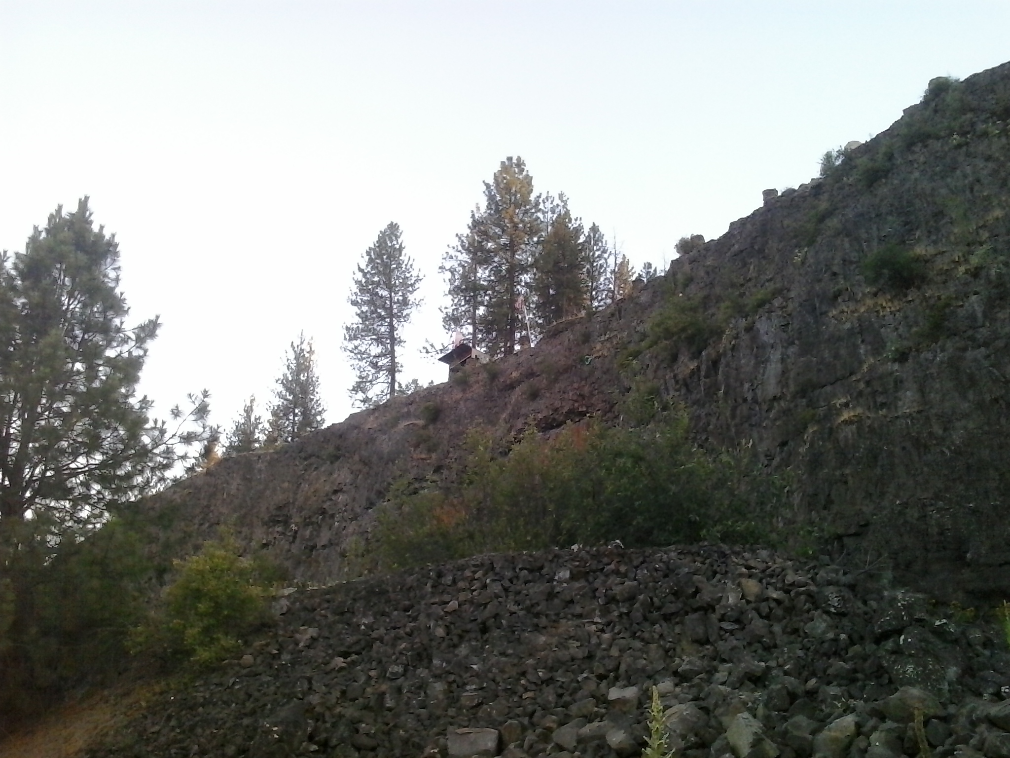
Floods scoured the land

Cataclysmic floods

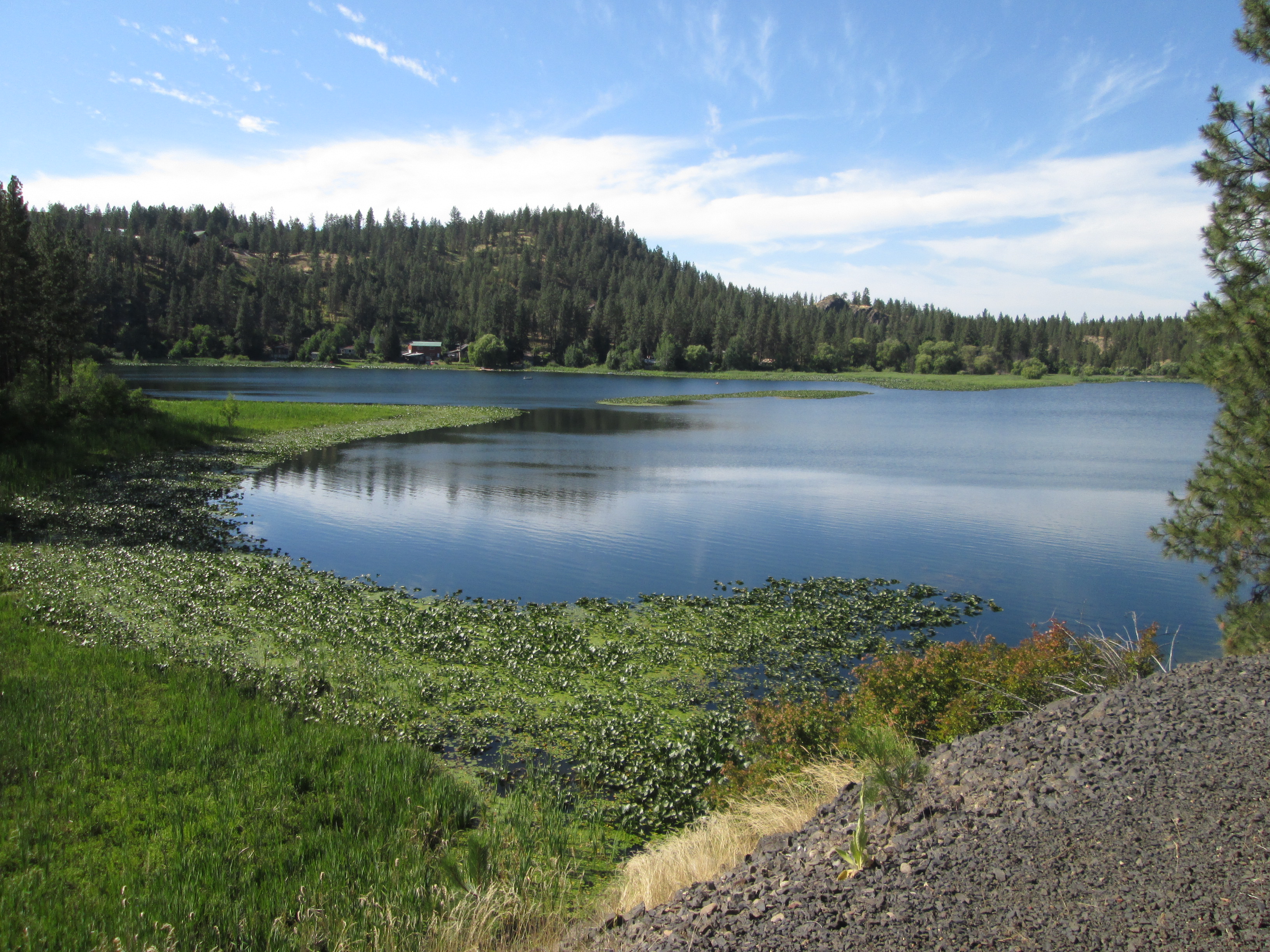
Fish Lake
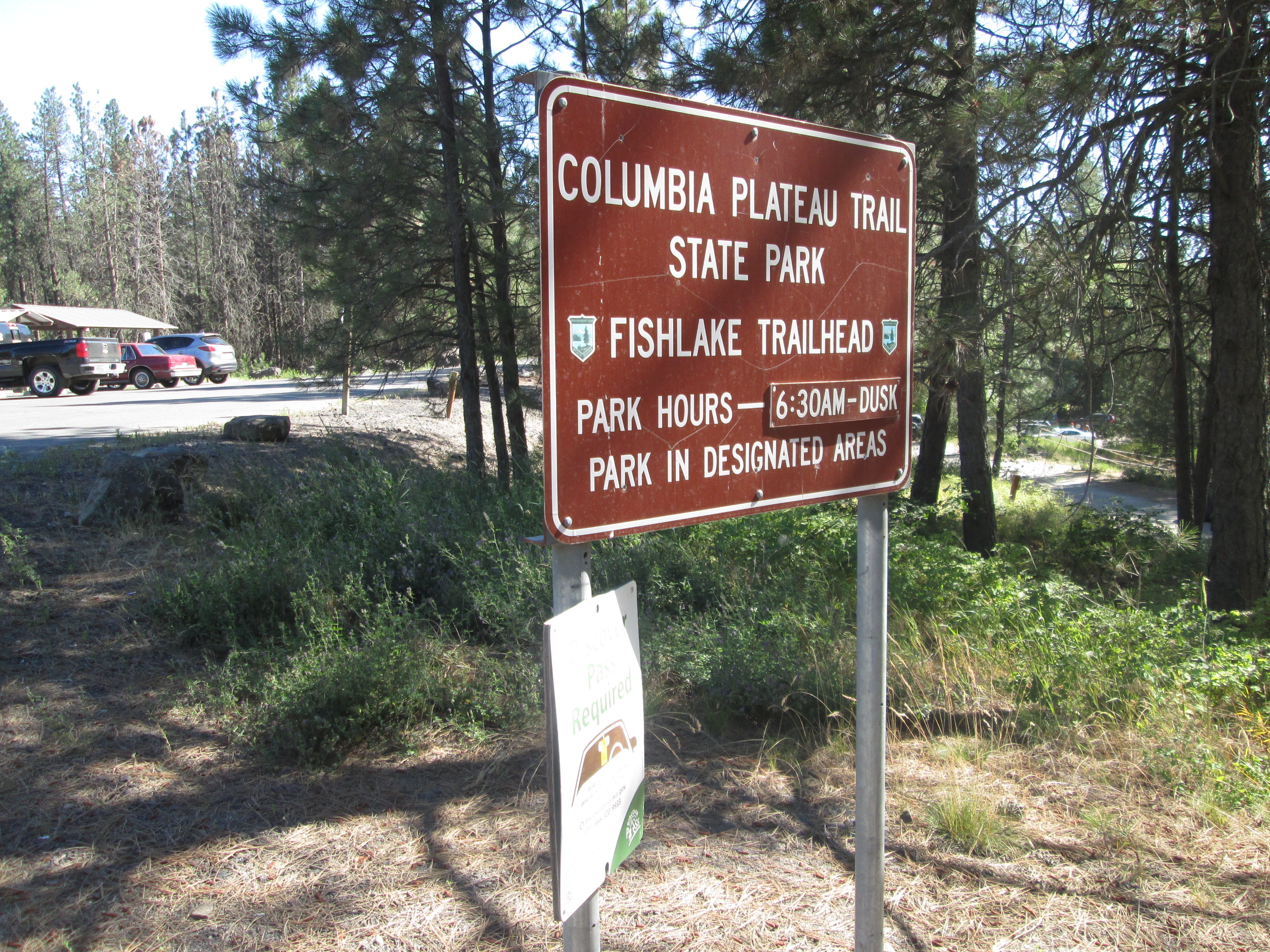
Fish Lake Trailhead

Trail map

Fish Lake Trailhead

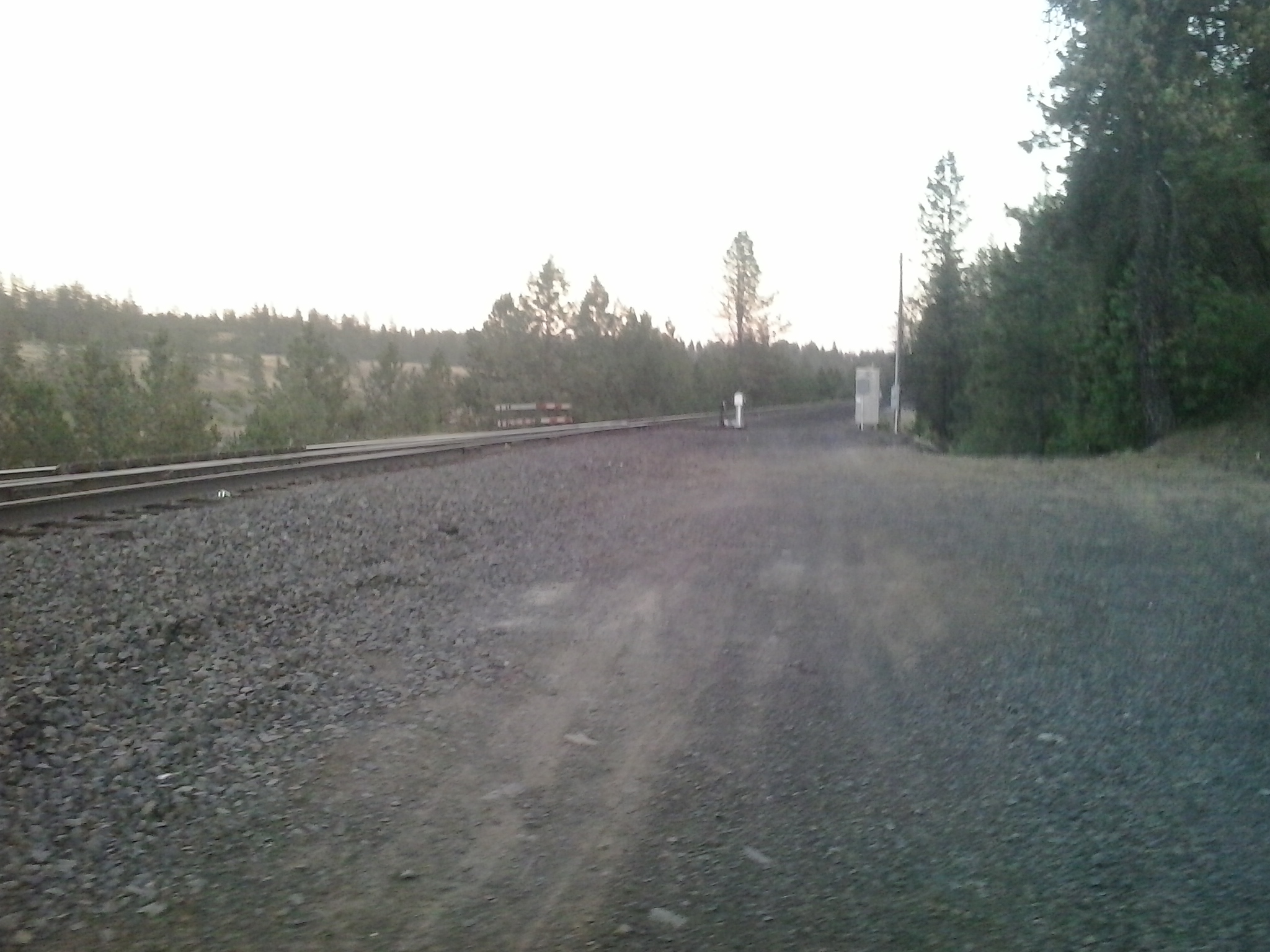
ROW continues north into the woods
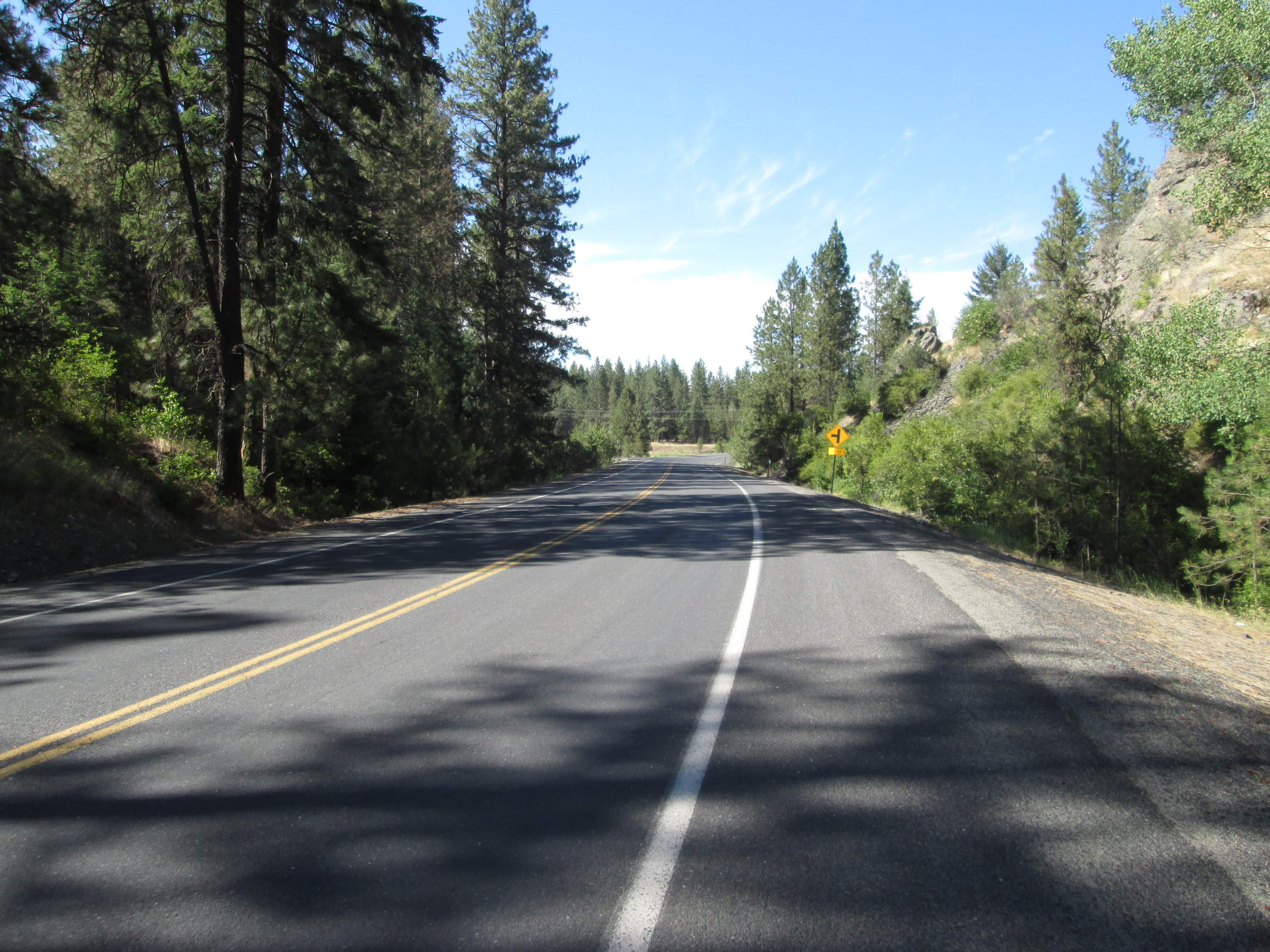
Cheney-Spokane Road

Cheney-Spokane Road
Cheney-Spokane Road

Cheney-Spokane Road

Cheney-Spokane Road

Fish Lake Trail map at South Scribner Road
47.554219, -117.499672

Fish Lake Trail going south from Scribner Road to Queen Lucas Lake
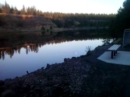
Hut overlooking Queen Lucas Lake

Queen Lucas Lake
Queen Lucas Lake (video)

Queen Lucas Lake
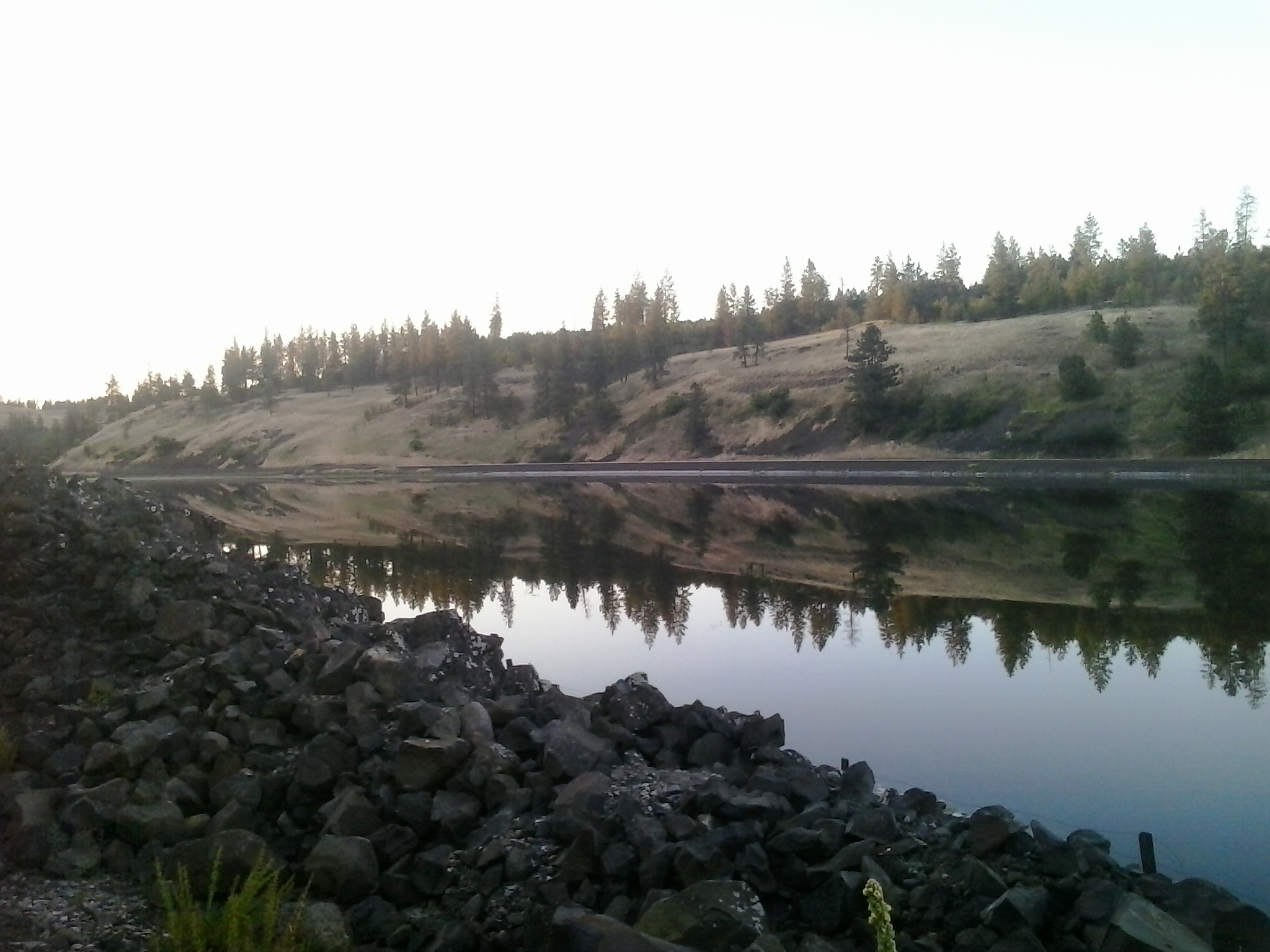
Queen Lucas Lake

Queen Lucas Lake

Queen Lucas Lake
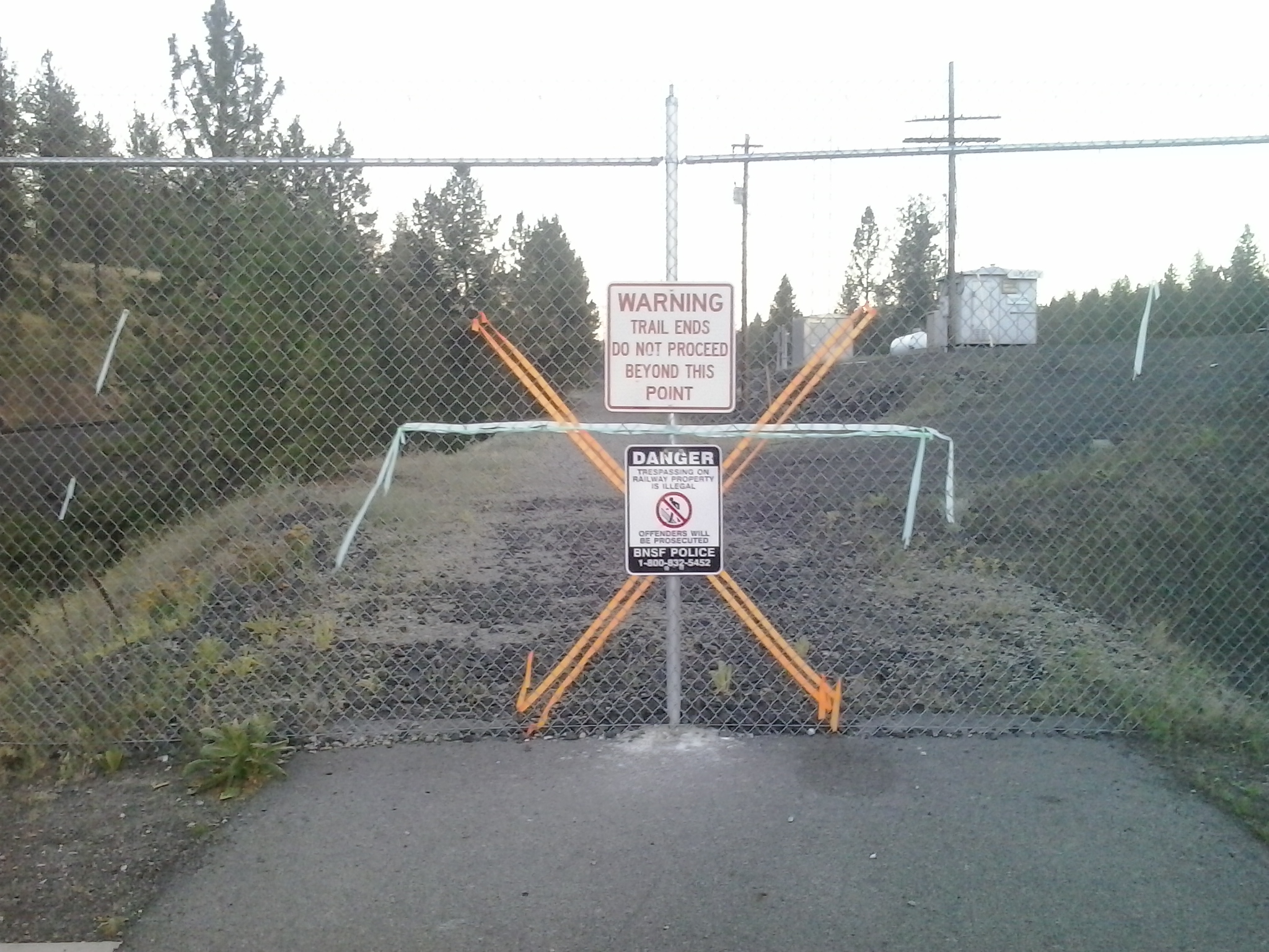
Fish Lake Trail terminates
47.533011, -117.508811

Path up to Cheney-Spokane Road
47.547285, -117.508393
Path up to Cheney-Spokane Road

Path up to Cheney-Spokane Road

Path up to Cheney-Spokane Road

Path up to Cheney-Spokane Road

Path up to Cheney-Spokane Road

Path up to Cheney-Spokane Road

Fish Lake Trail north from Scribner Road
47.554219, -117.499672
Fish Lake Trail (video)
Fish Lake Trail (video)

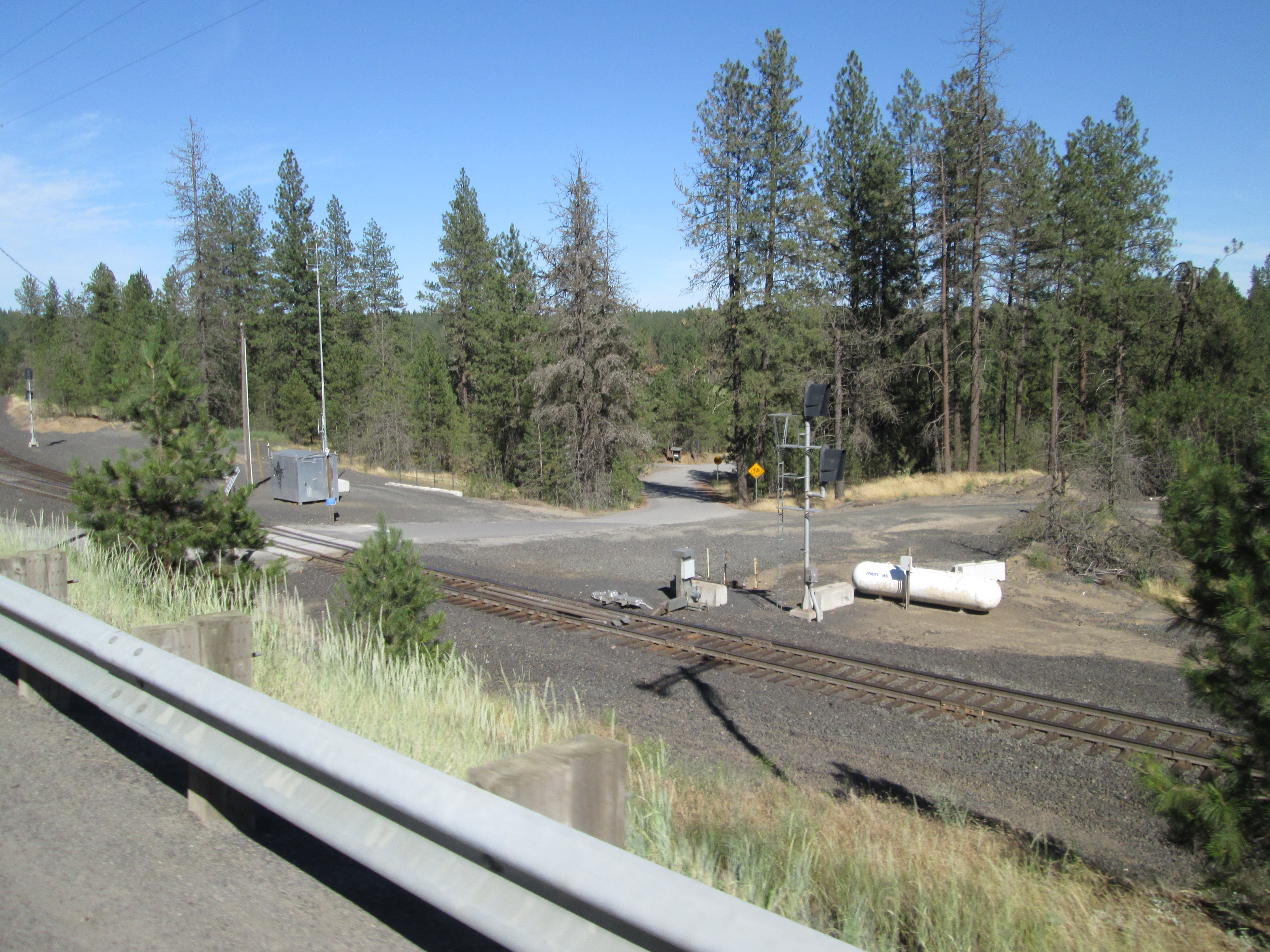
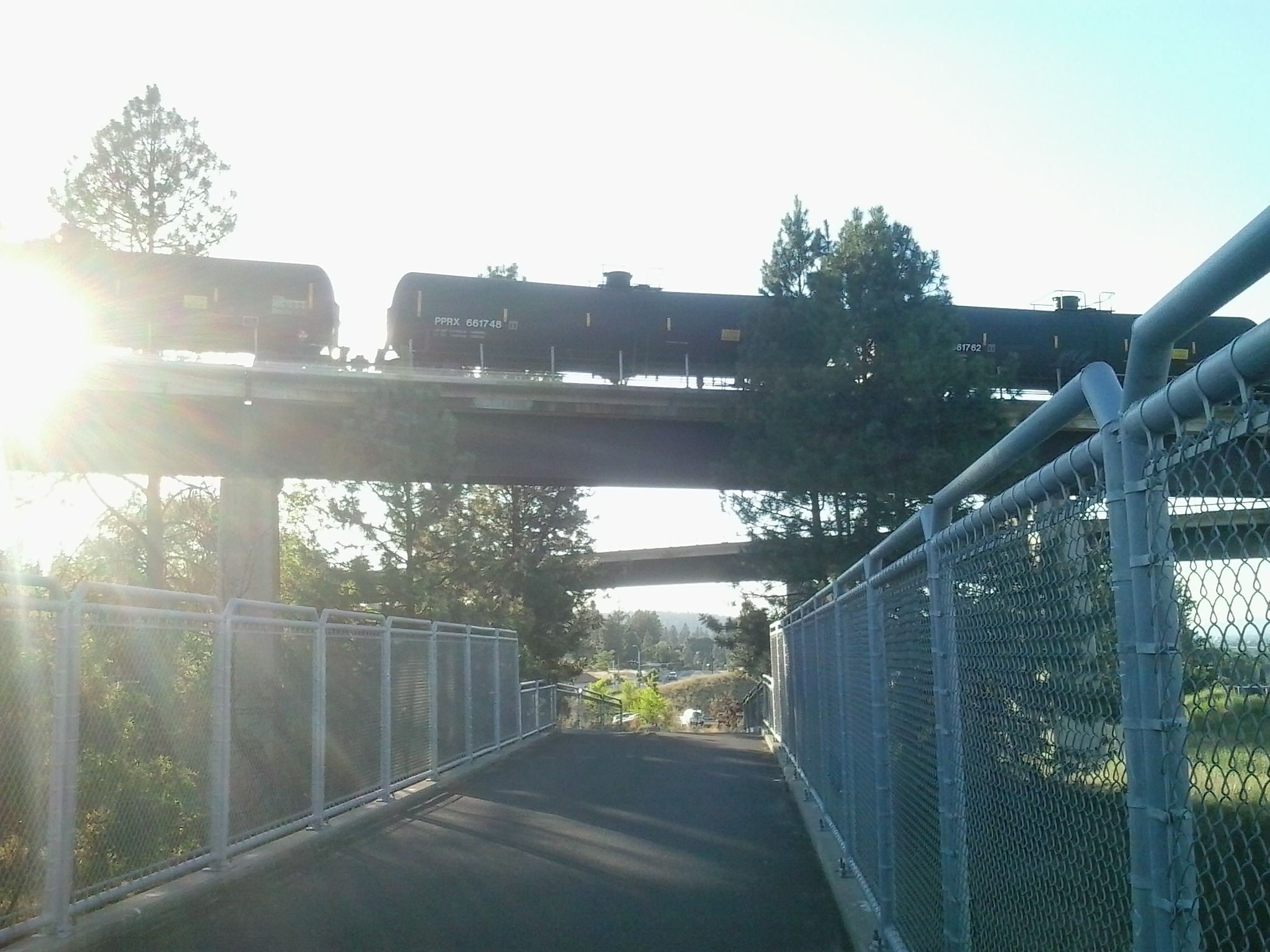
BNSF Spokane Subdivision
47.646647, -117.452299
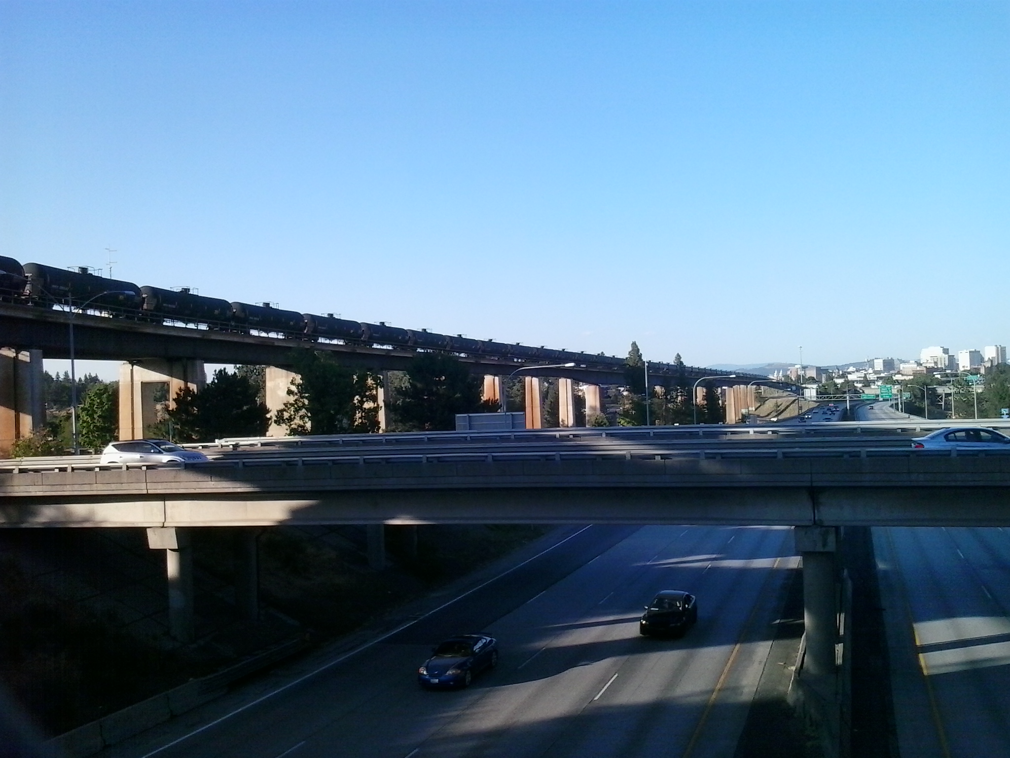
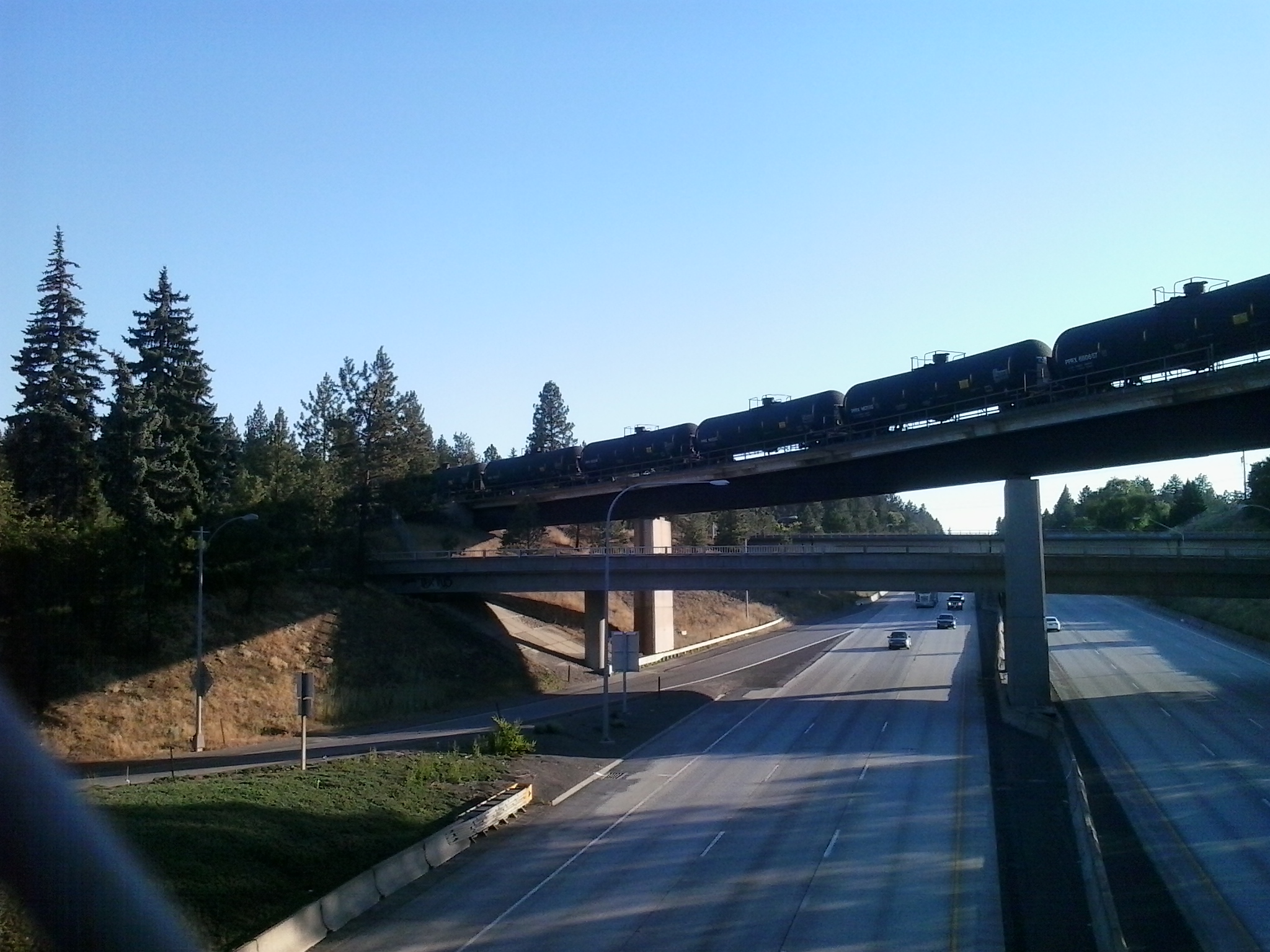
BNSF Spokane Subdivision over I-90
BNSF Spokane Subdivision
BNSF Spokane Subdivision over I-90