Picnic Point
The southern tip of the island brightens considerably as derelict housing gives way to Picnic Point, an open recreation area build on land that was cleared by demolishing the Liberty Village Apartments.
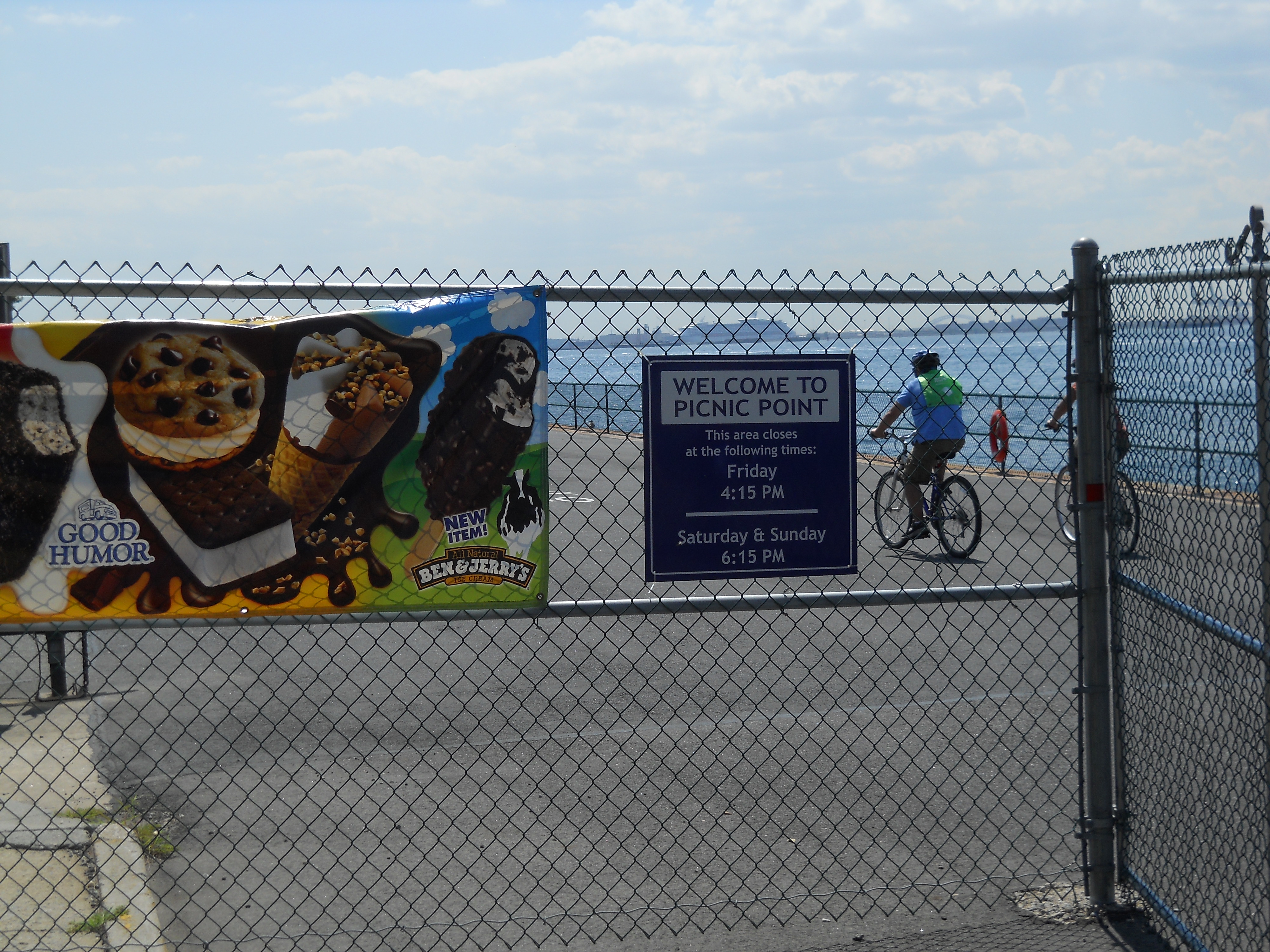
Picnic Point entrance at Escanaba Rd.
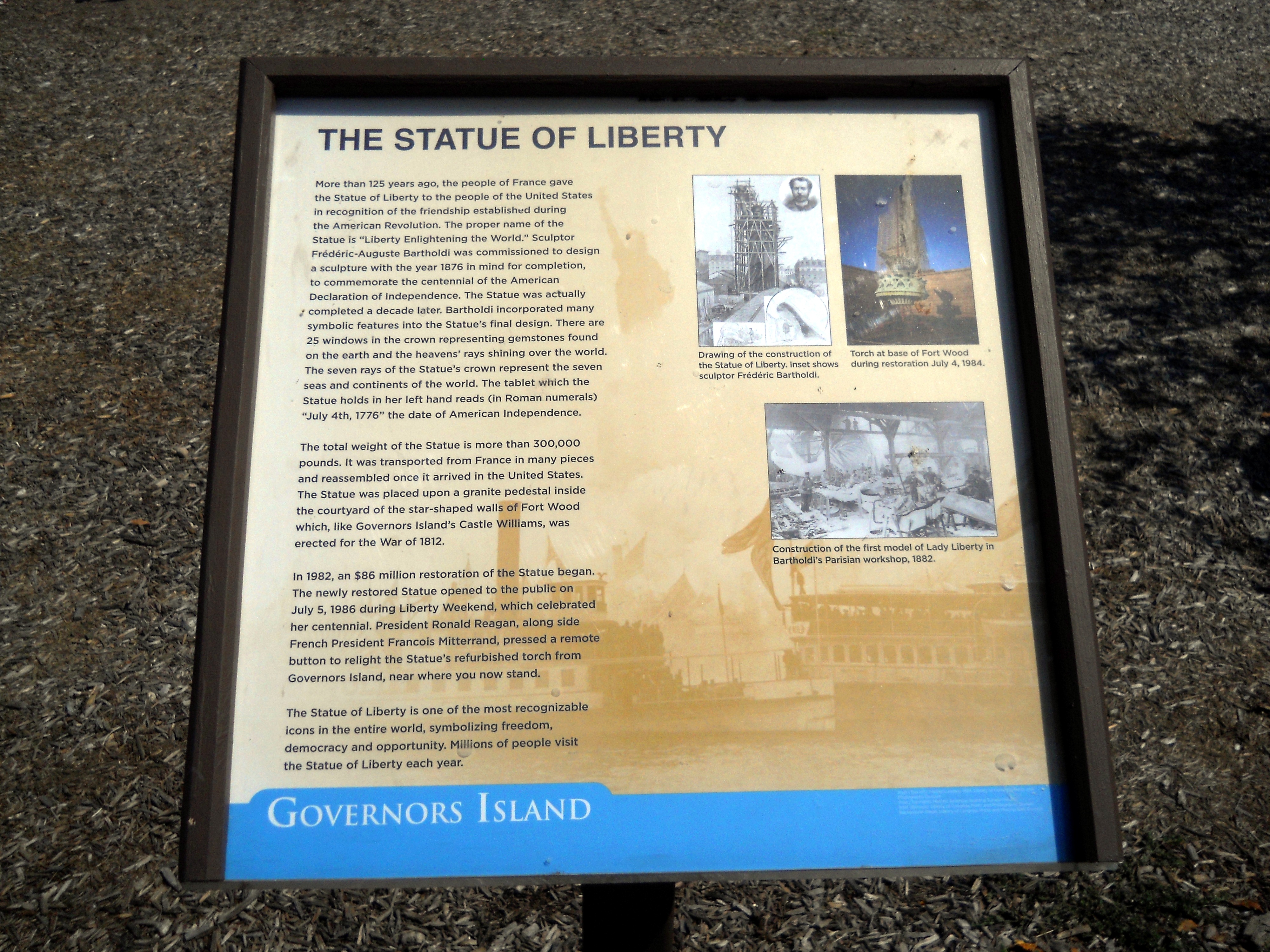
Statue of Liberty historic sign

Playground with Cunningham Apartments looming over

Statue of Liberty rededication plaque (1986)
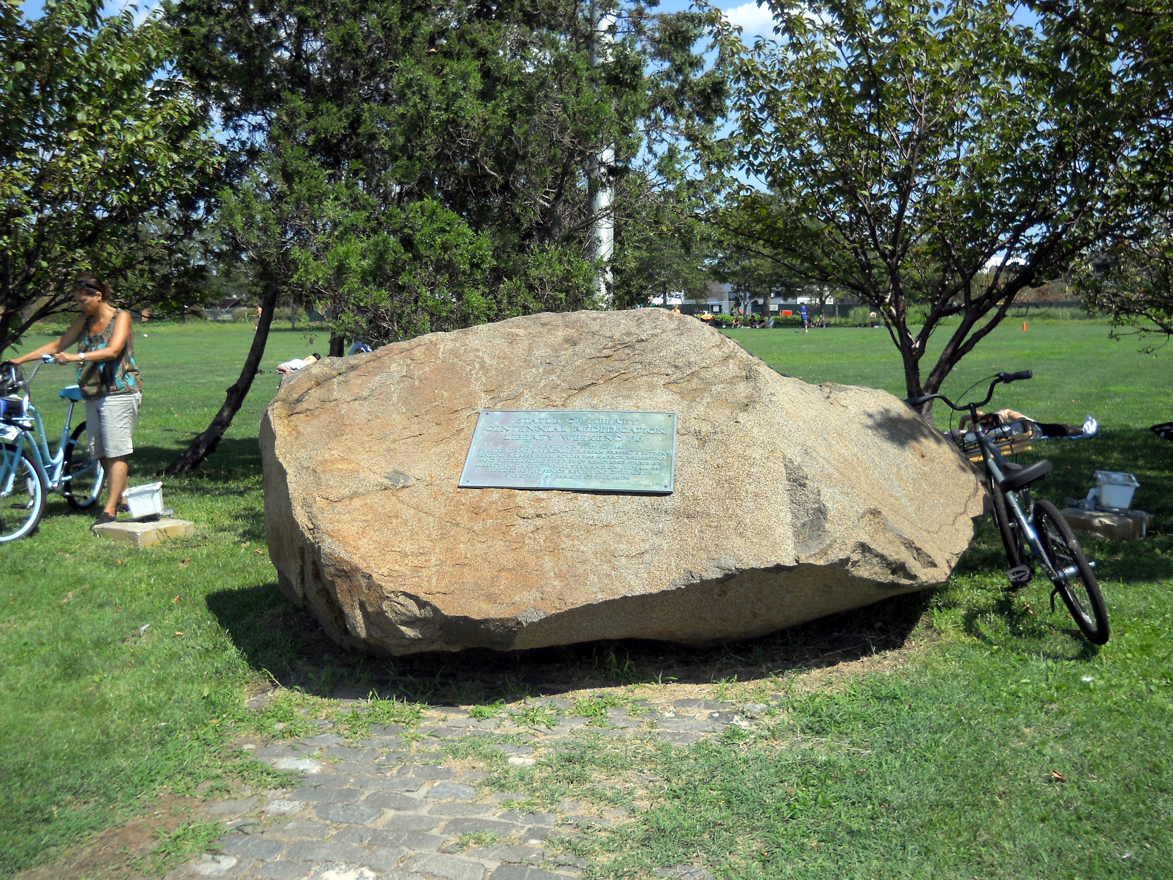
Statue of Liberty rededication plaque on rock

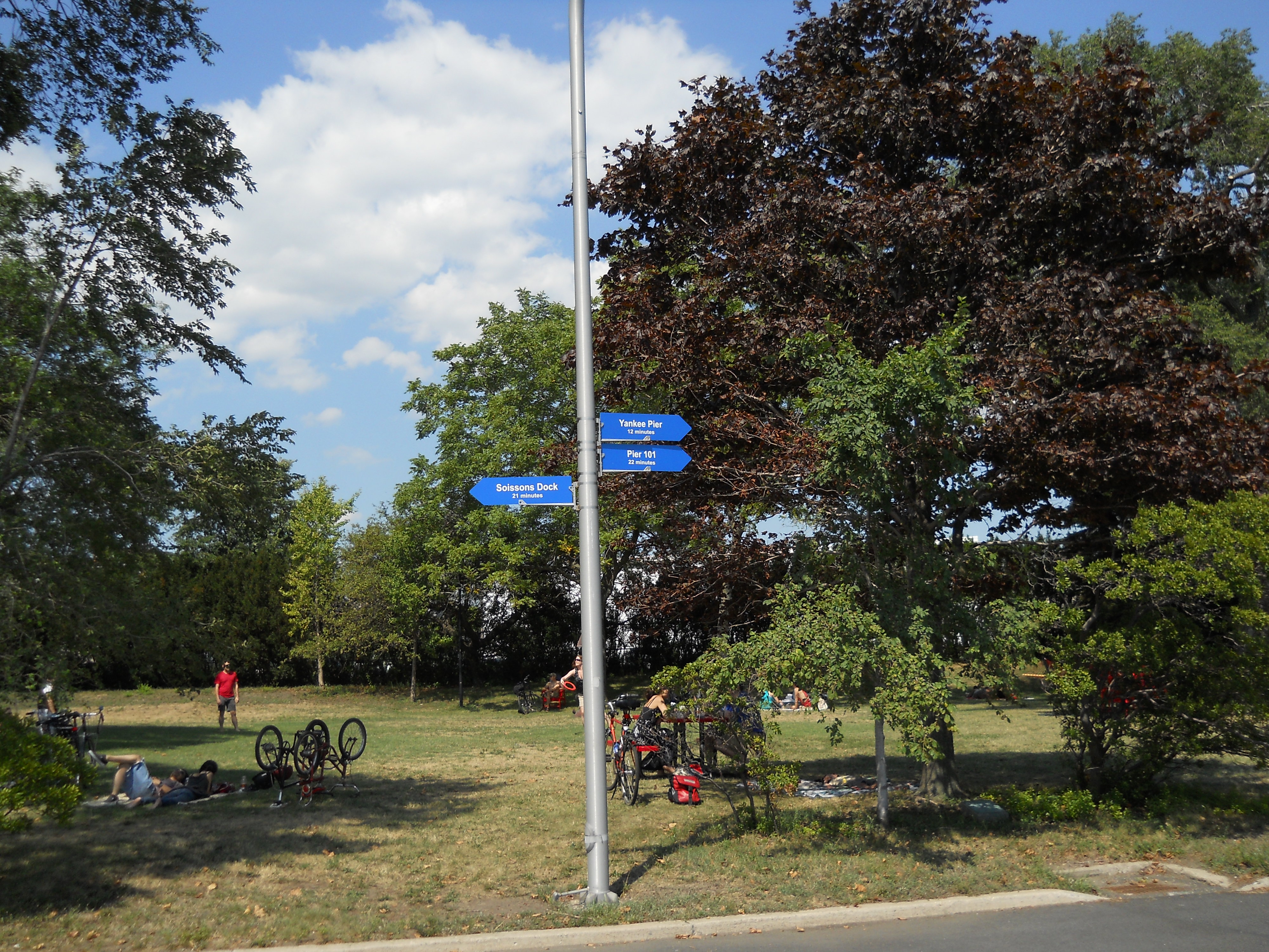
Picnic Point lawn
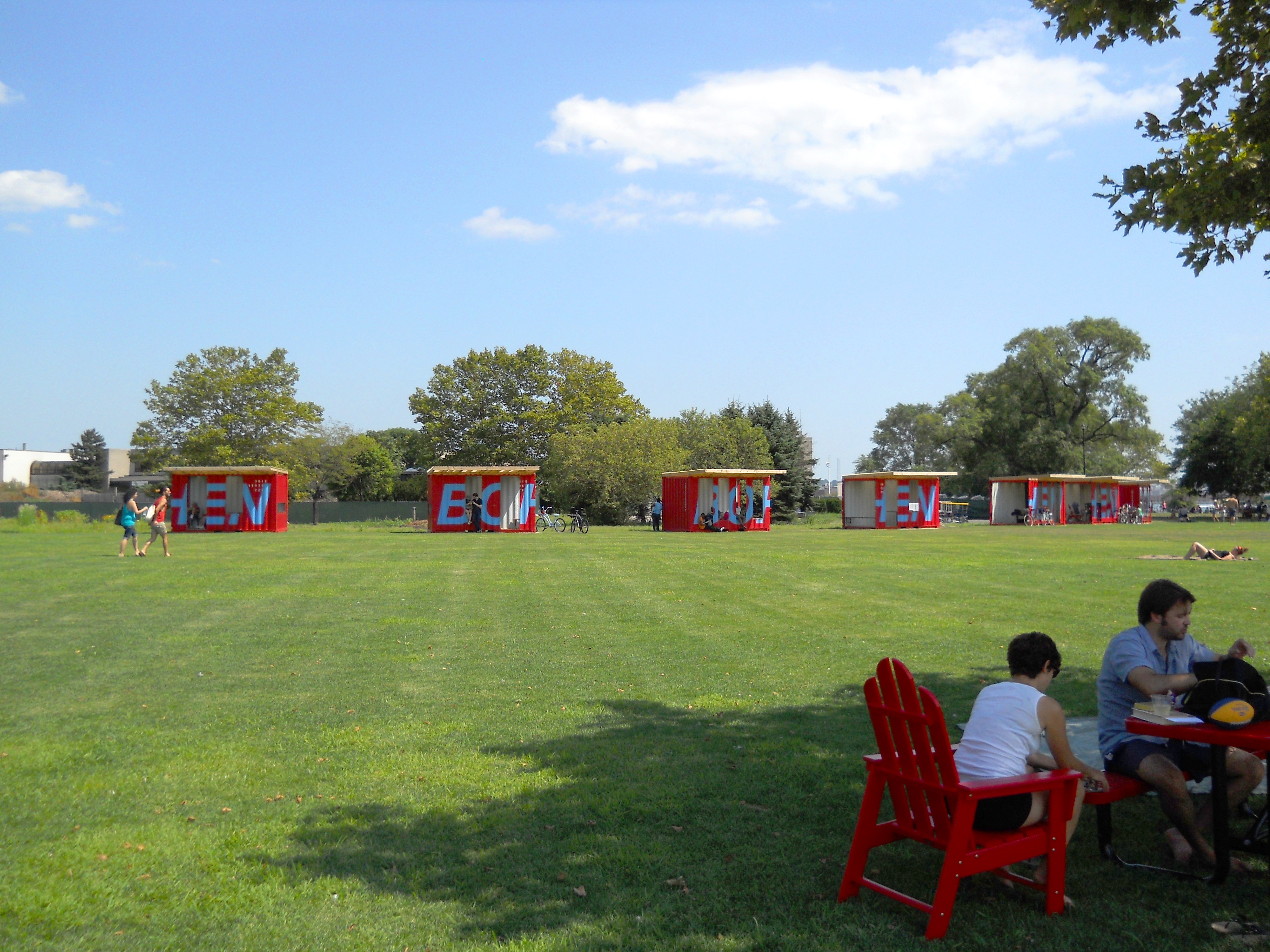
Picnic Point lawn
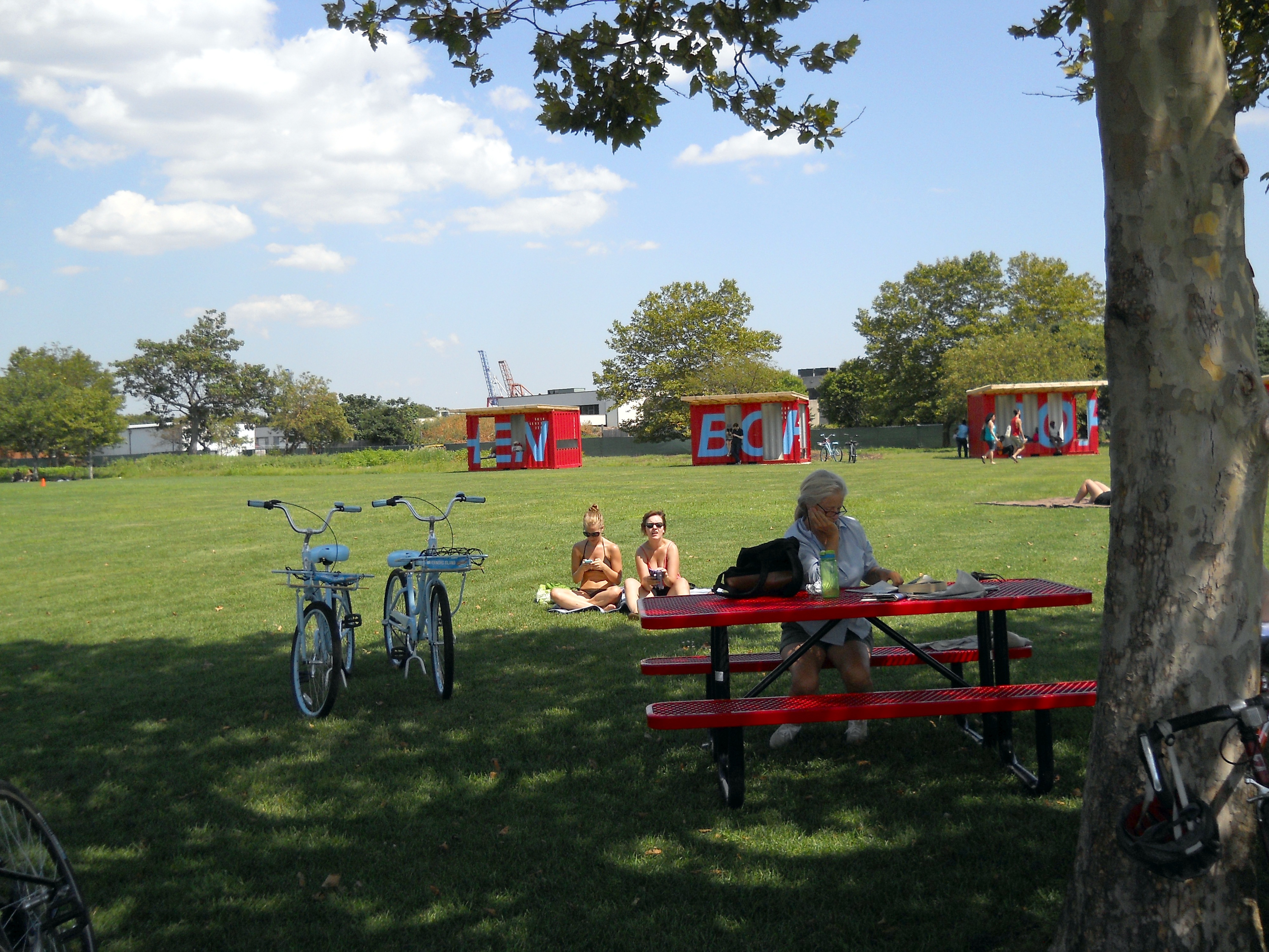
Picnic Point lawn

Picnic Point lawn with Cunningham Apartments in background

Picnic Point lawn

Picnic Point lawn

Picnic Point lawn
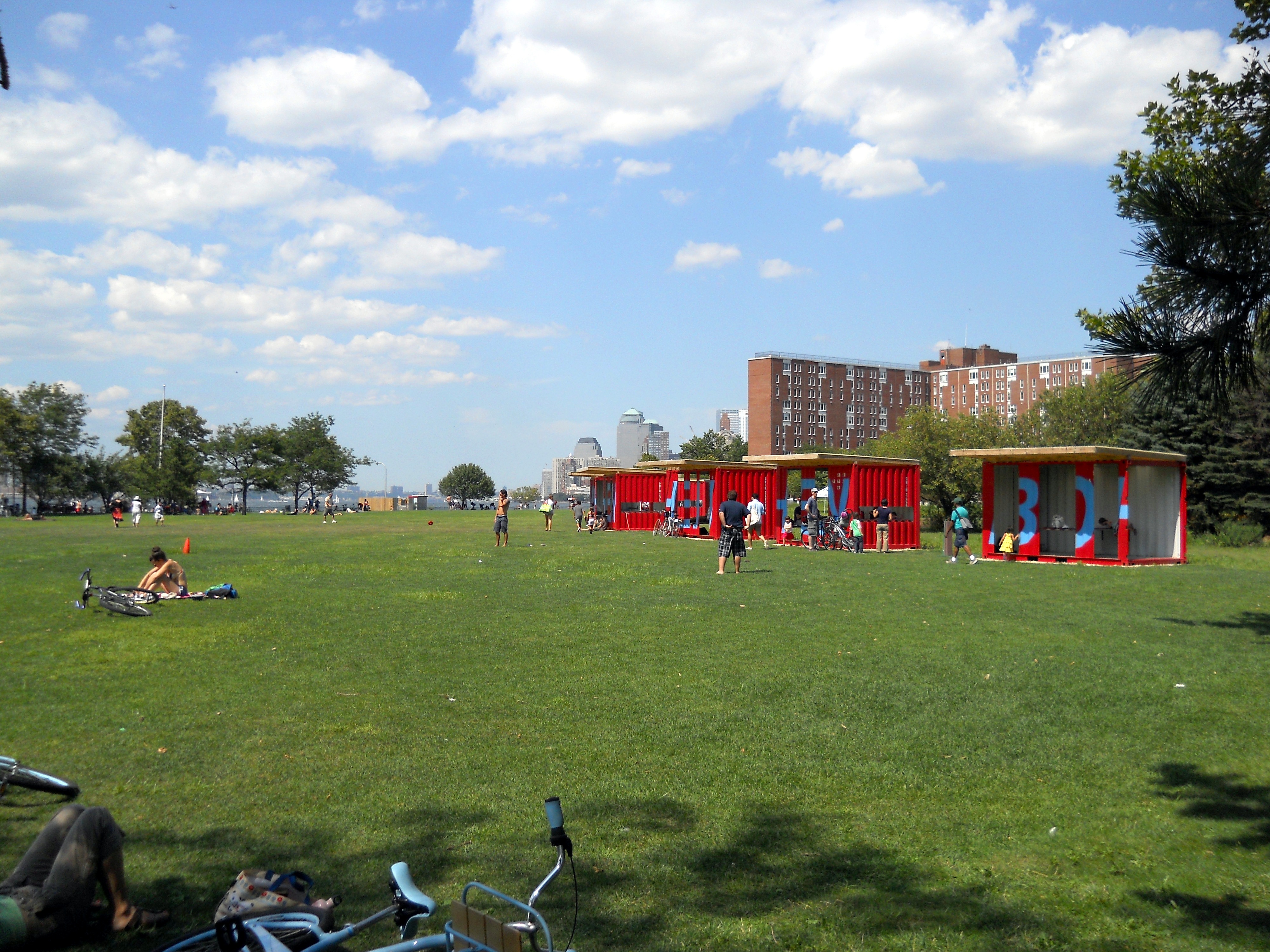
Picnic Point lawn

Light beacon on southwest tip of the island

Craig Rd. curving around the southern tip of the island
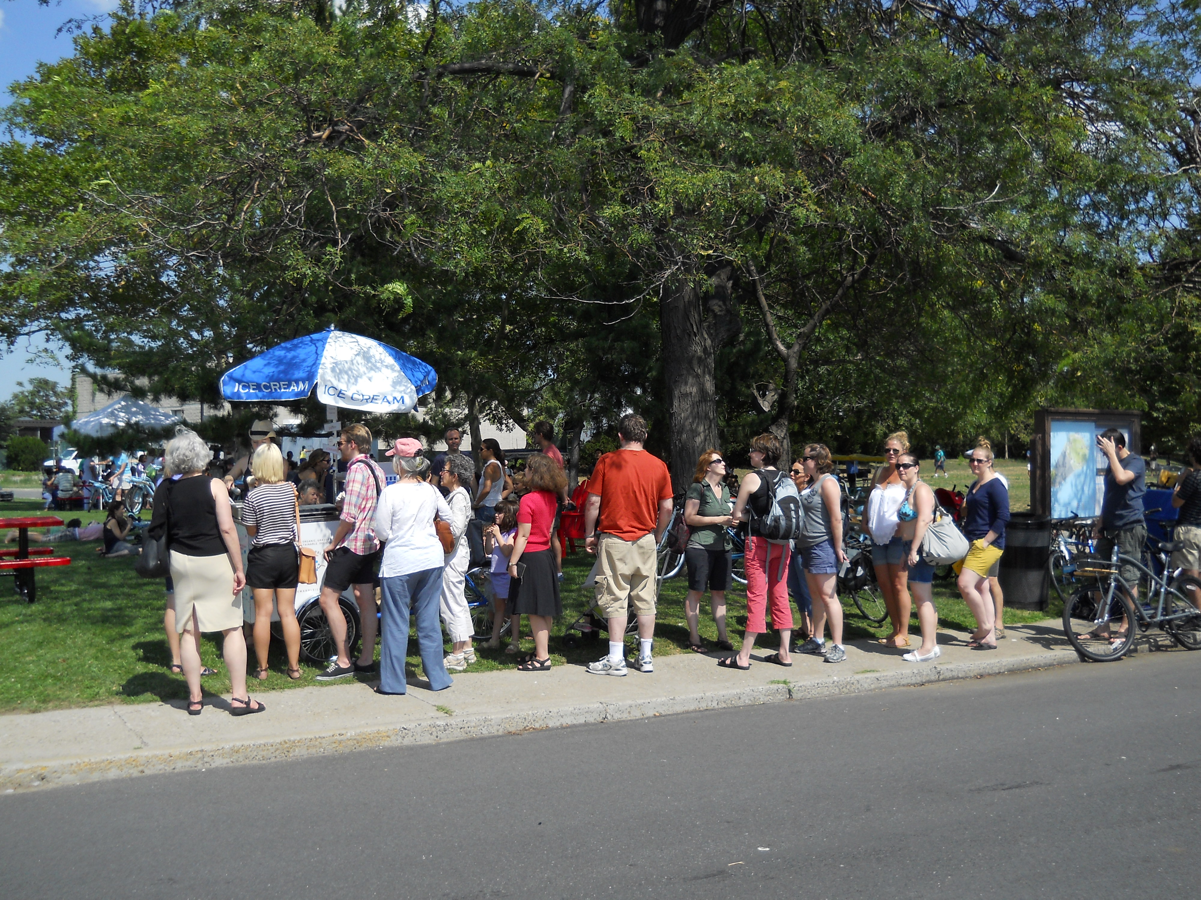
Line for ice cream

Staten Island historic sign

Picnic tables

South plaque

'Wind Gap' by Bob Emser
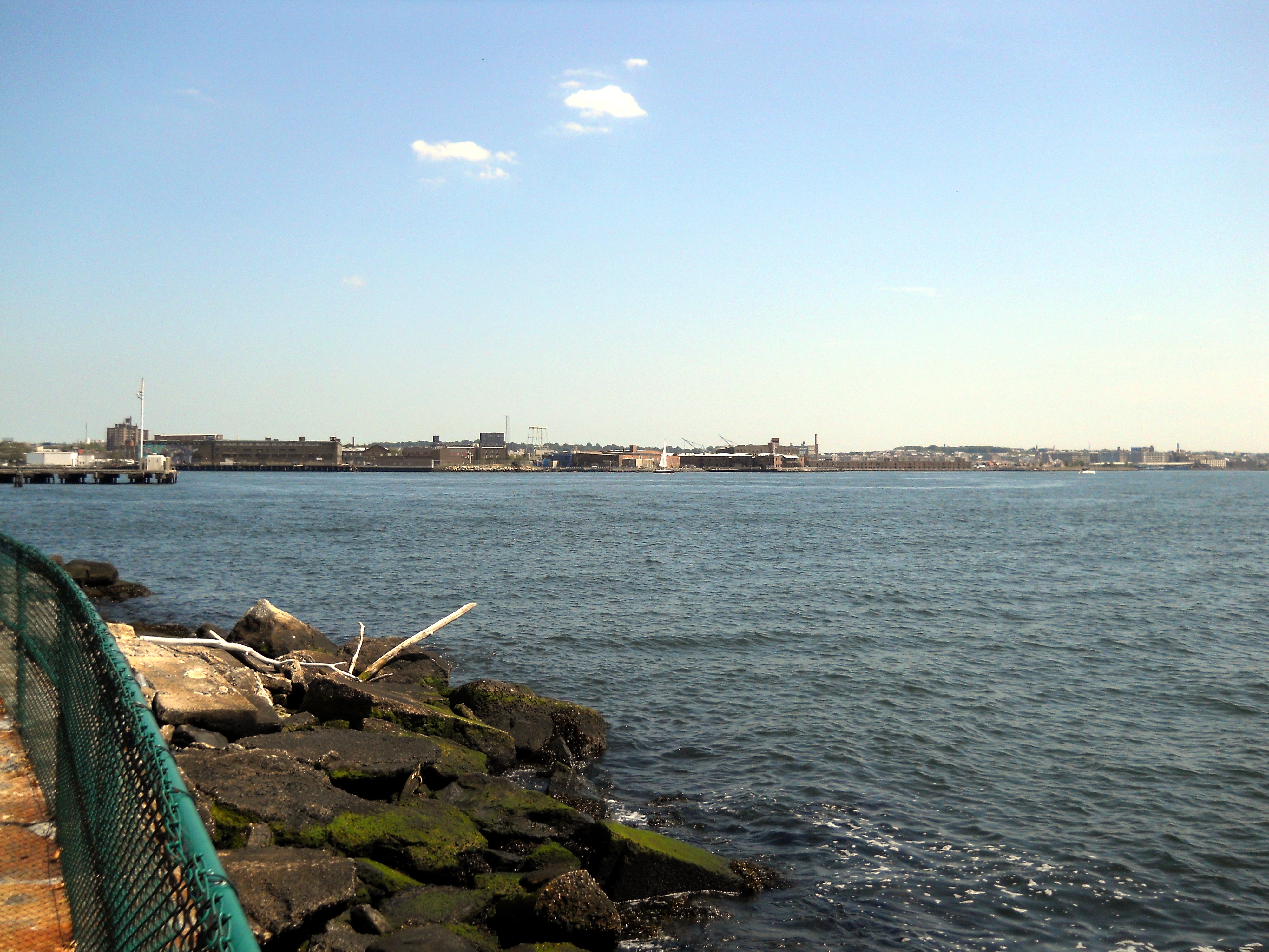
Red Hook warehouses viewed across the harbor
Street signs

Port of New York historic sign